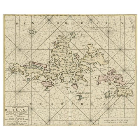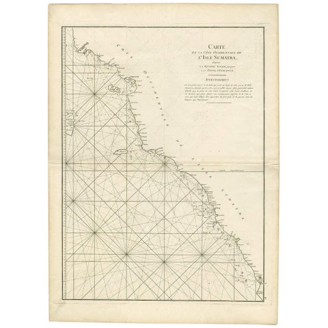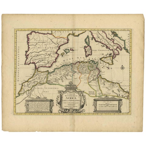
Close-ups
Framed and on the wall
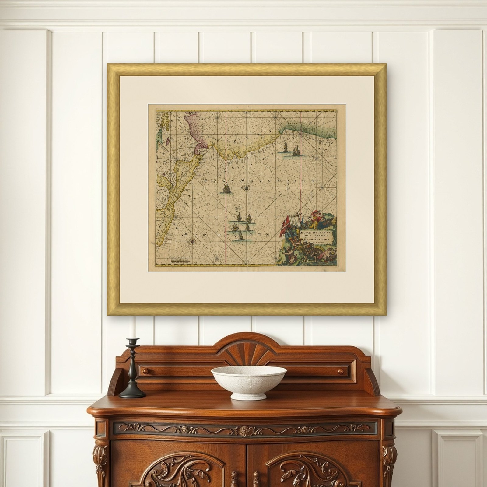
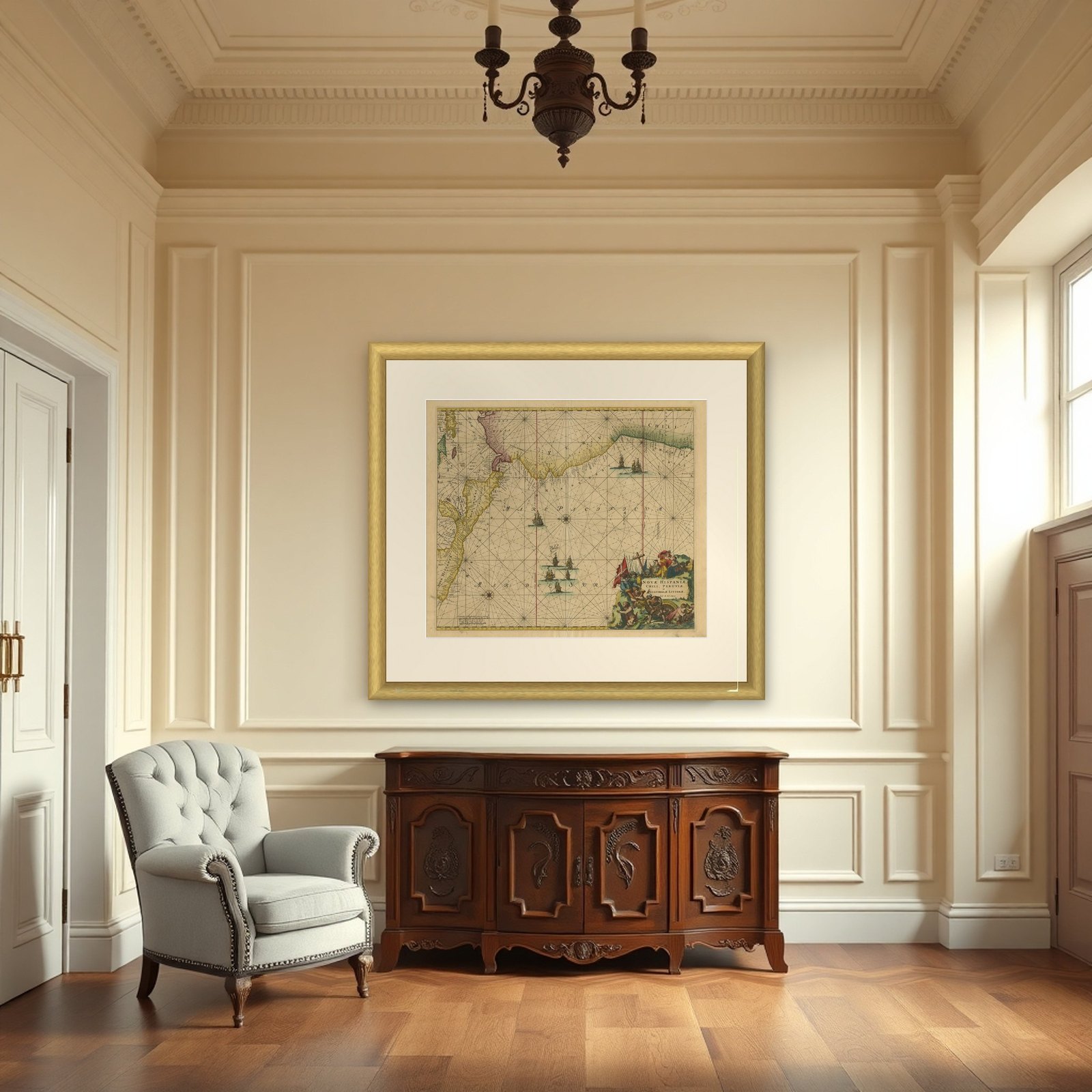
Frame and rooms are illustrations of how the piece could look; it is sold unframed unless the description says otherwise.
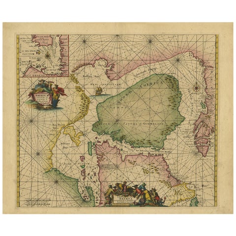
Sea Chart of Central America and the Northwest Coast of South America, ca.1745
$2,745
€2,450 · £2,075
Original print, not a reproduction.
Ships worldwide from the Netherlands, flat, insured and tracked. 14-day returns.
- Date
- 1745
- Sheet size
- 21.7 × 26 in (55 × 66 cm)
- Condition
- Good. Given age. Minor paper separation top and bottom middle fold. Some crinkles and creases. Edges with an occasional tiny tear. A few minor spots. Original middle fold as issued. General age-related toning. Minor defects from handling.
- Collection
- Sea charts
- Era
- 1700 to 1789, Age of discovery
- Stock no.
- f_26922042
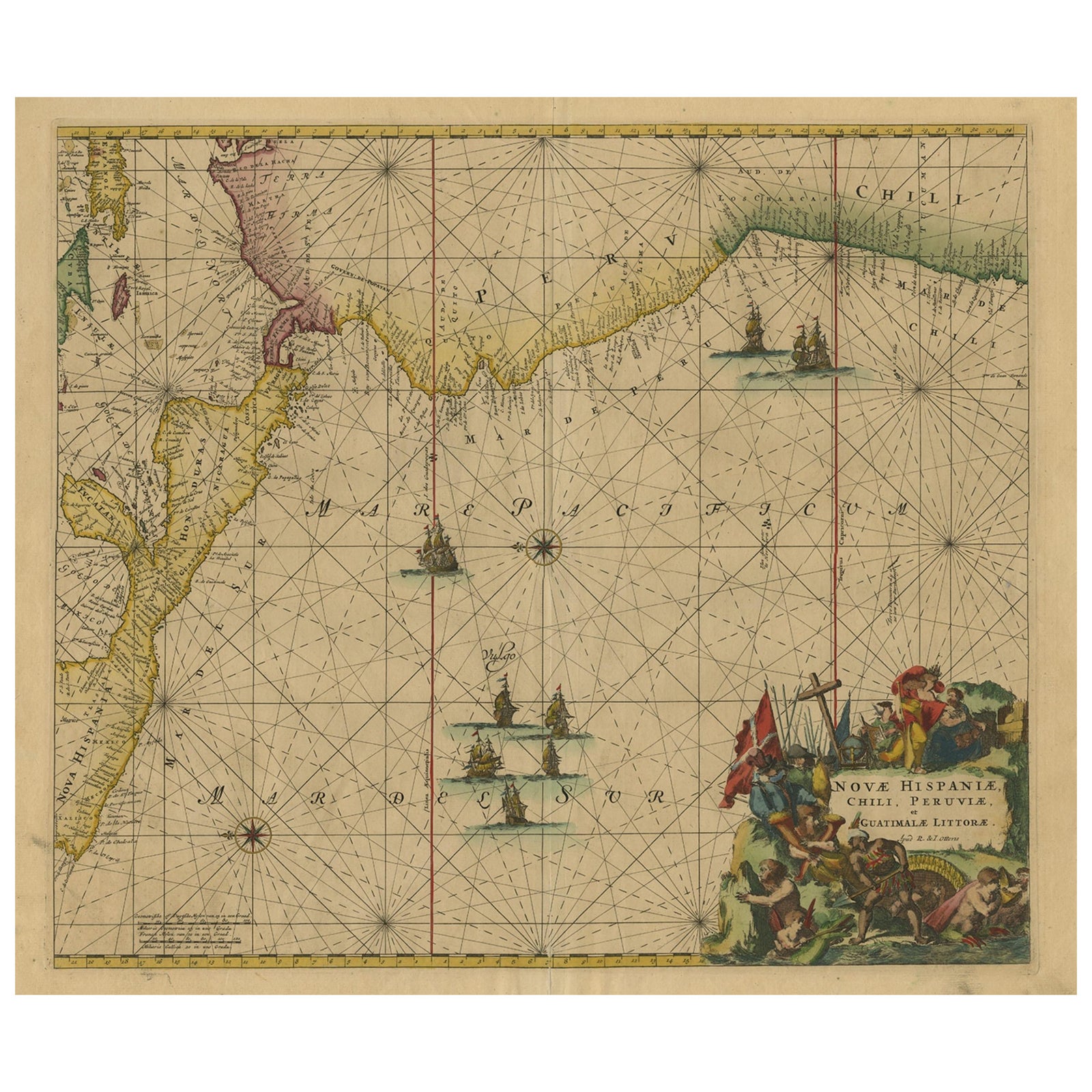
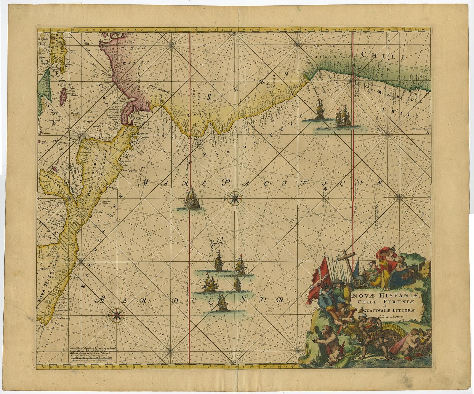
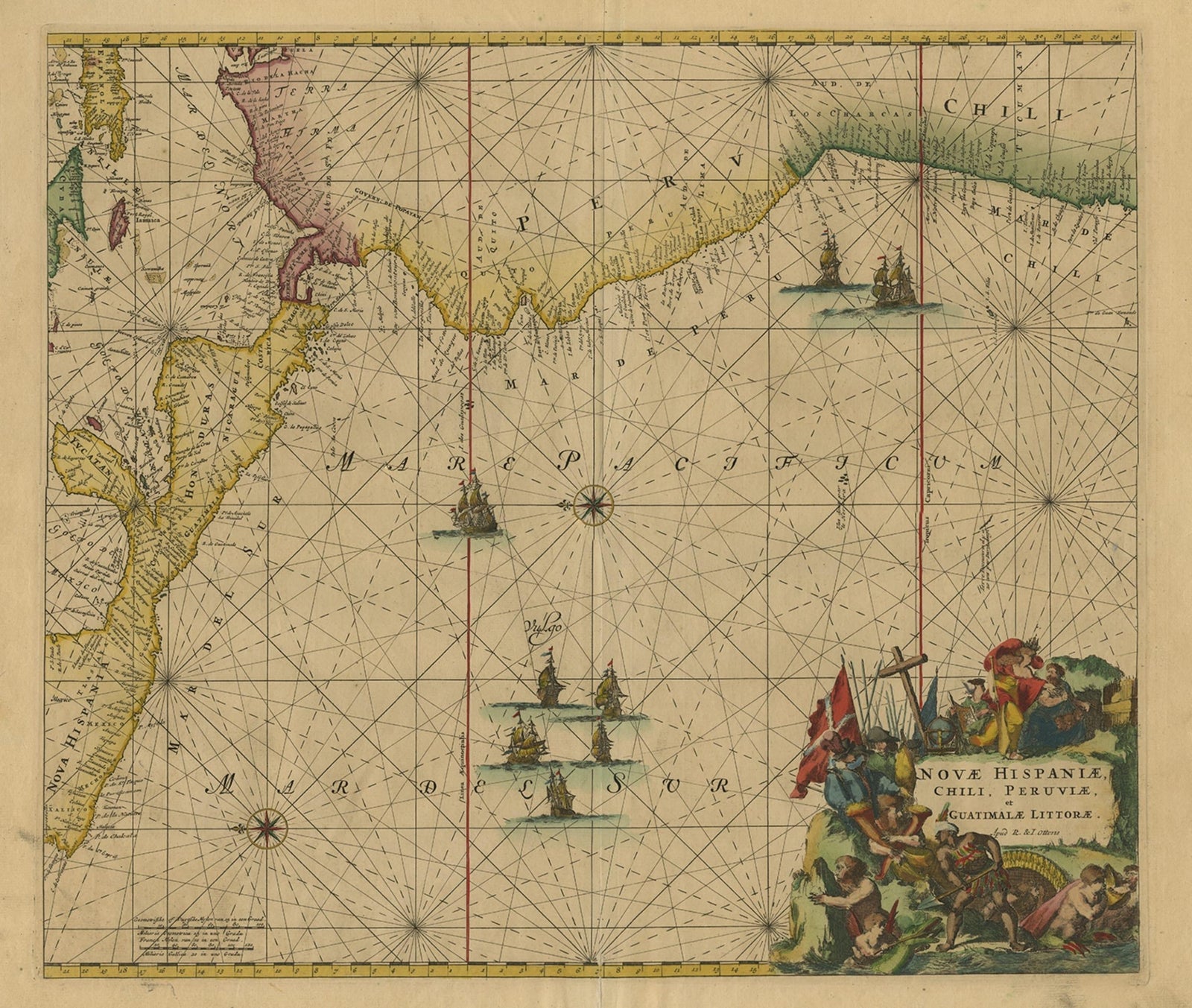
Novae Hispaniae, Chili, Peruviae et Guatimalae Littorae, an original engraved sea chart of the Pacific coast of Spanish America by Reinier and Joshua Ottens after Frederick de Wit (1675), from the Atlas van de Zeevaart, c.1745. The title is set in a figured cartouche at lower right, and the sheet is finished with hand color.
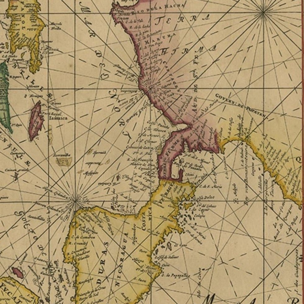
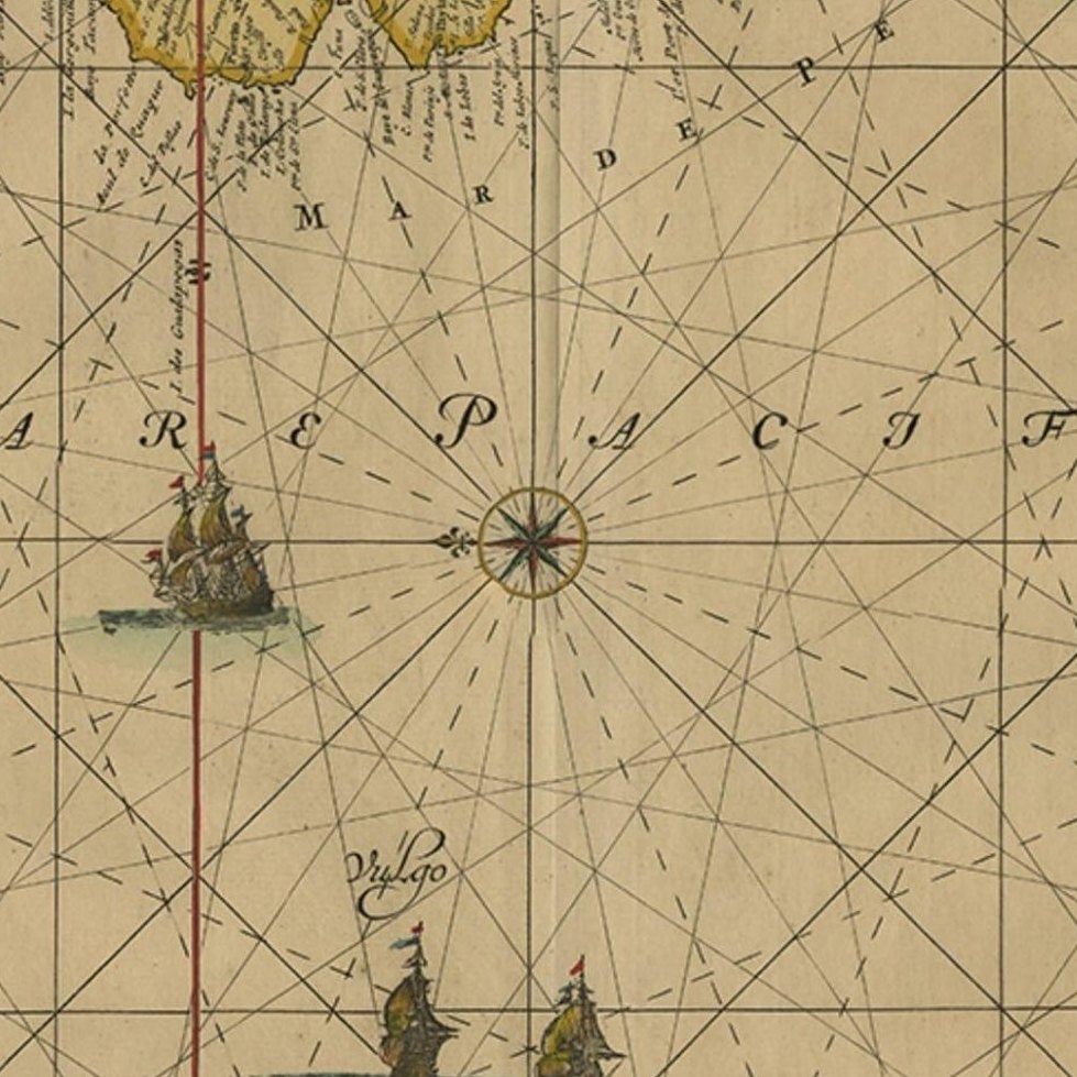
The chart is turned so that east lies at the top, which puts the coast along the left and upper edges. It shows stretches of the coasts of Mexico (Nova Hispania), Guatemala, Costa Rica and Honduras, together with the Peruvian coast and part of Chili, and the western Caribbean at the left edge, with the Galapagos Islands among the sea details. A network of rhumb lines radiates from compass roses across the Mare Pacificum and the Mar del Sur, and several sailing ships are placed on the ocean. The cartouche has a flag-bearing group of soldiers, a cross, and putti with a coastal landscape.
Reinier and Joshua Ottens (both 1704 to 1765) were Amsterdam publishers, cartographers and engravers who carried on the business founded by their father Joachim.
EXPLORE