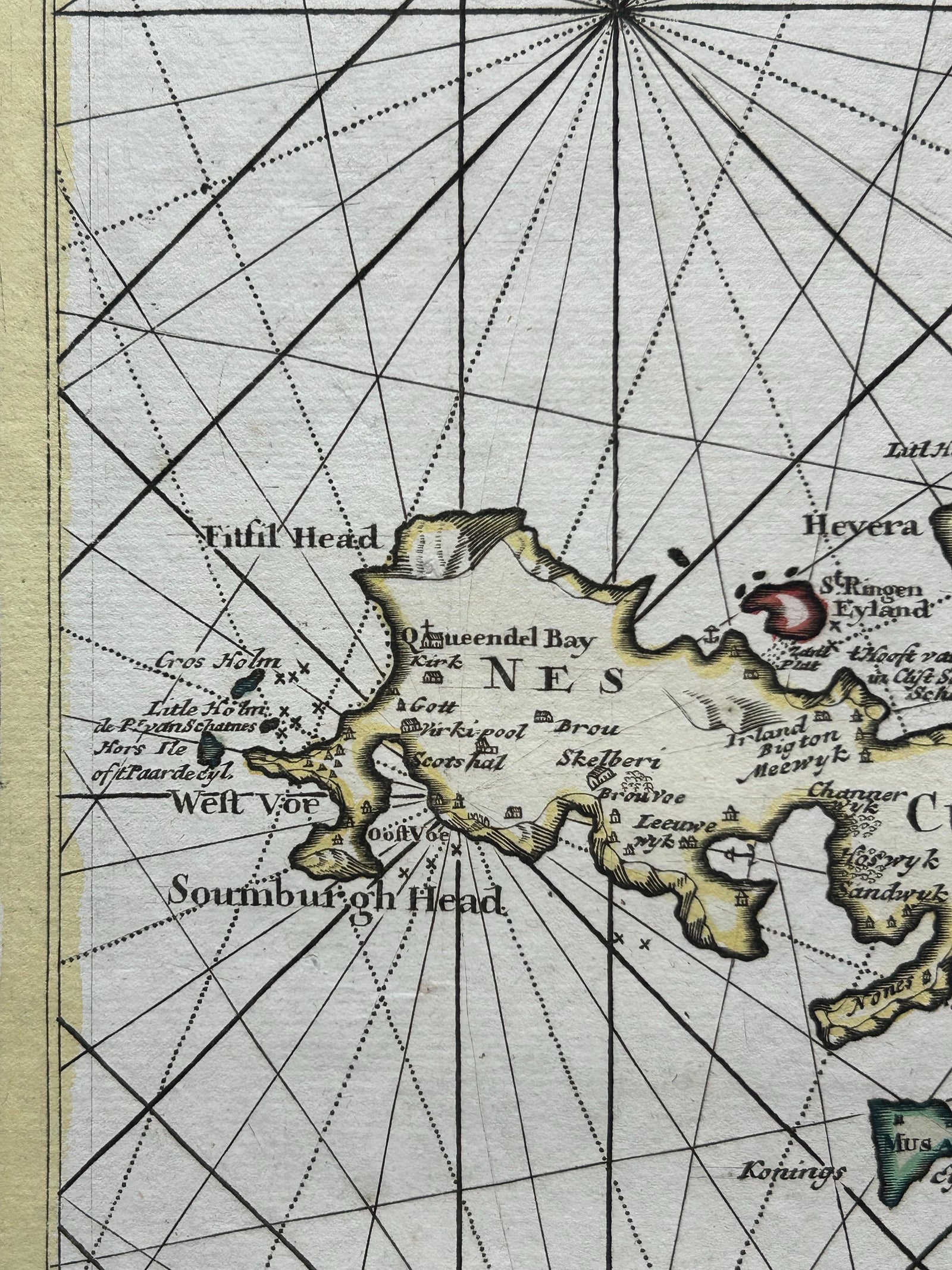
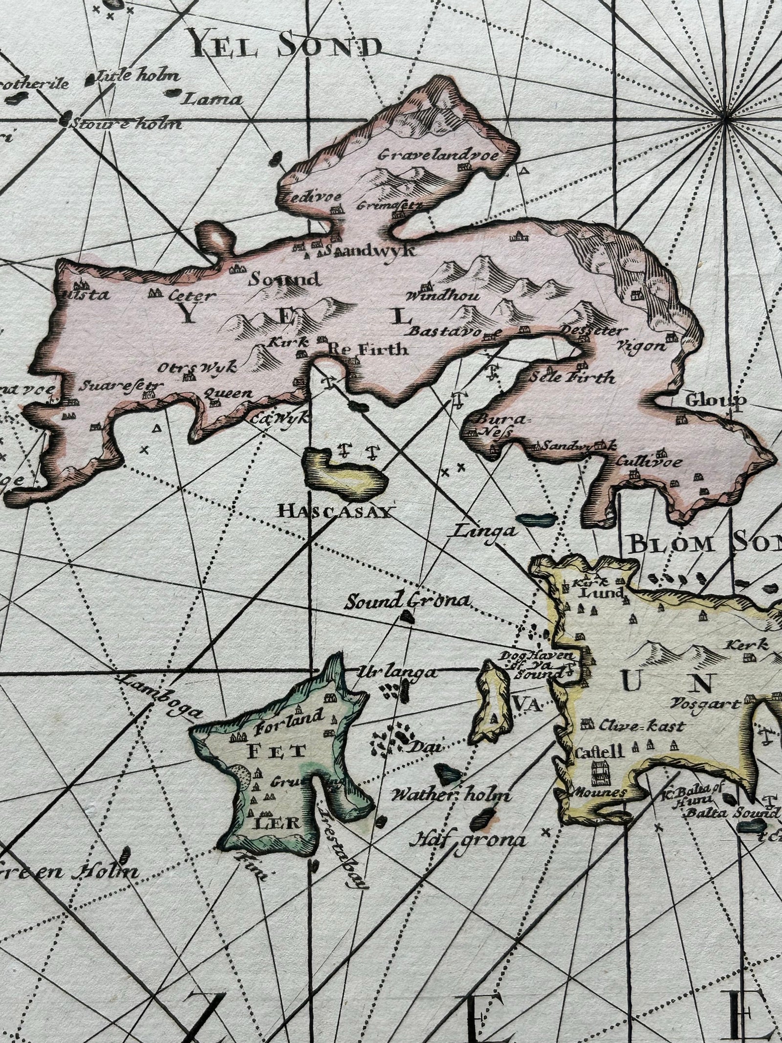
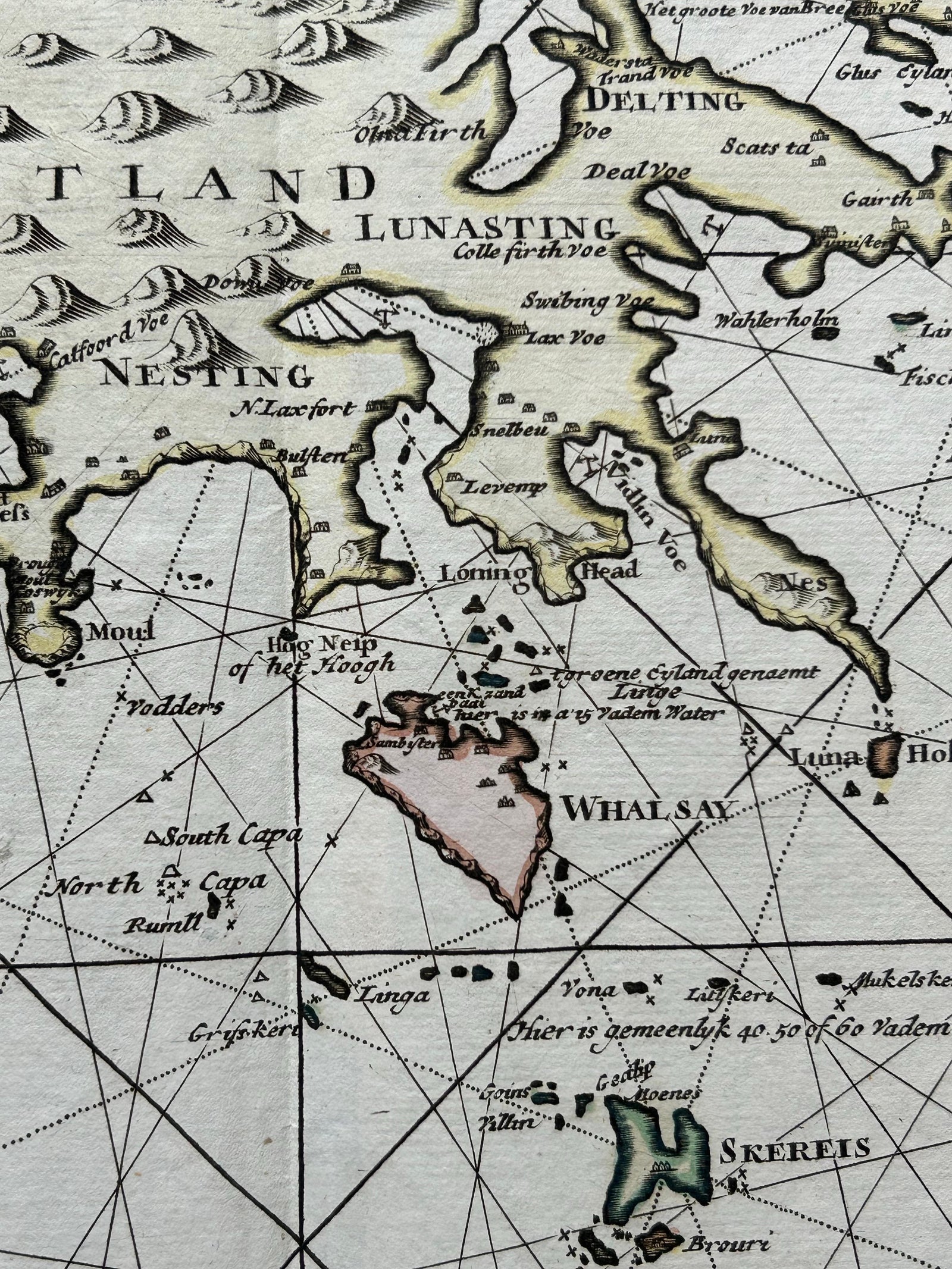
Close-ups
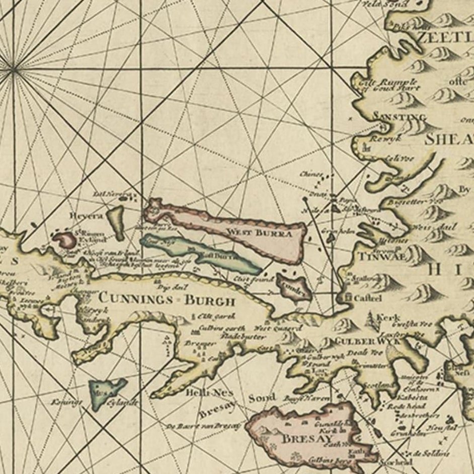
Framed and on the wall

Frame and rooms are illustrations of how the piece could look; it is sold unframed unless the description says otherwise.
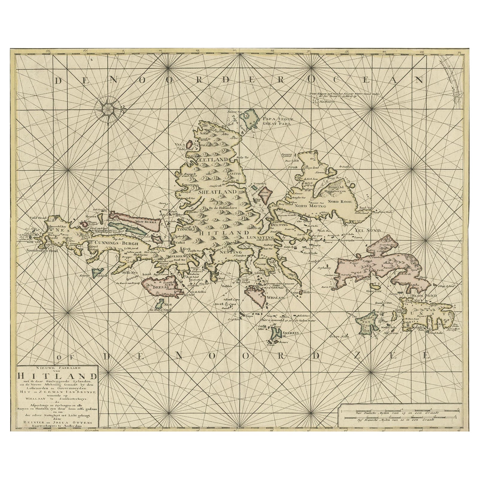
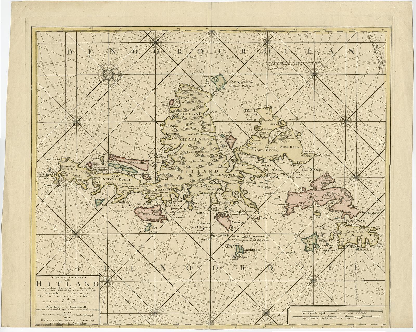
Shetland Islands Sea Chart, Antique Nautical Map by Ottens Brother c.1745
€1,250
$1,410 · £1,060
Original print, not a reproduction.
Ships worldwide from the Netherlands, flat, insured and tracked. 14-day returns.
- Date
- 1745
- Sheet size
- 20.5 × 25.2 in (52 × 64 cm)
- Technique
- Engraved
- Condition
- Good. Very good condition overall with general age-related toning. The lower margin has been trimmed short but does not affect the printed image or legibility.
- Collection
- Sea charts
- Era
- 1700 to 1789, Age of discovery
- Stock no.
- f_26581052
Shetland Islands Sea Chart, Antique Nautical Map by Ottens Brothers, c.1740s
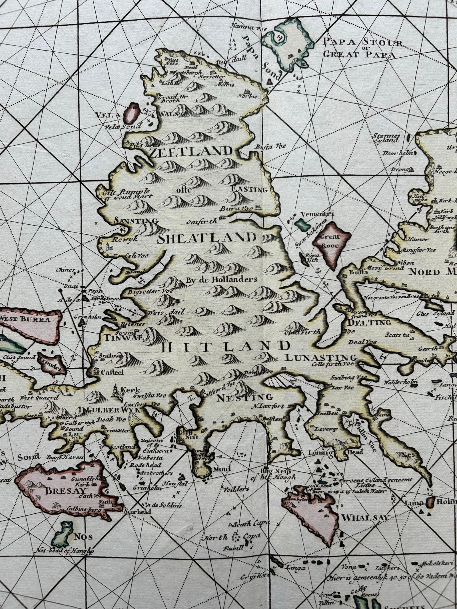
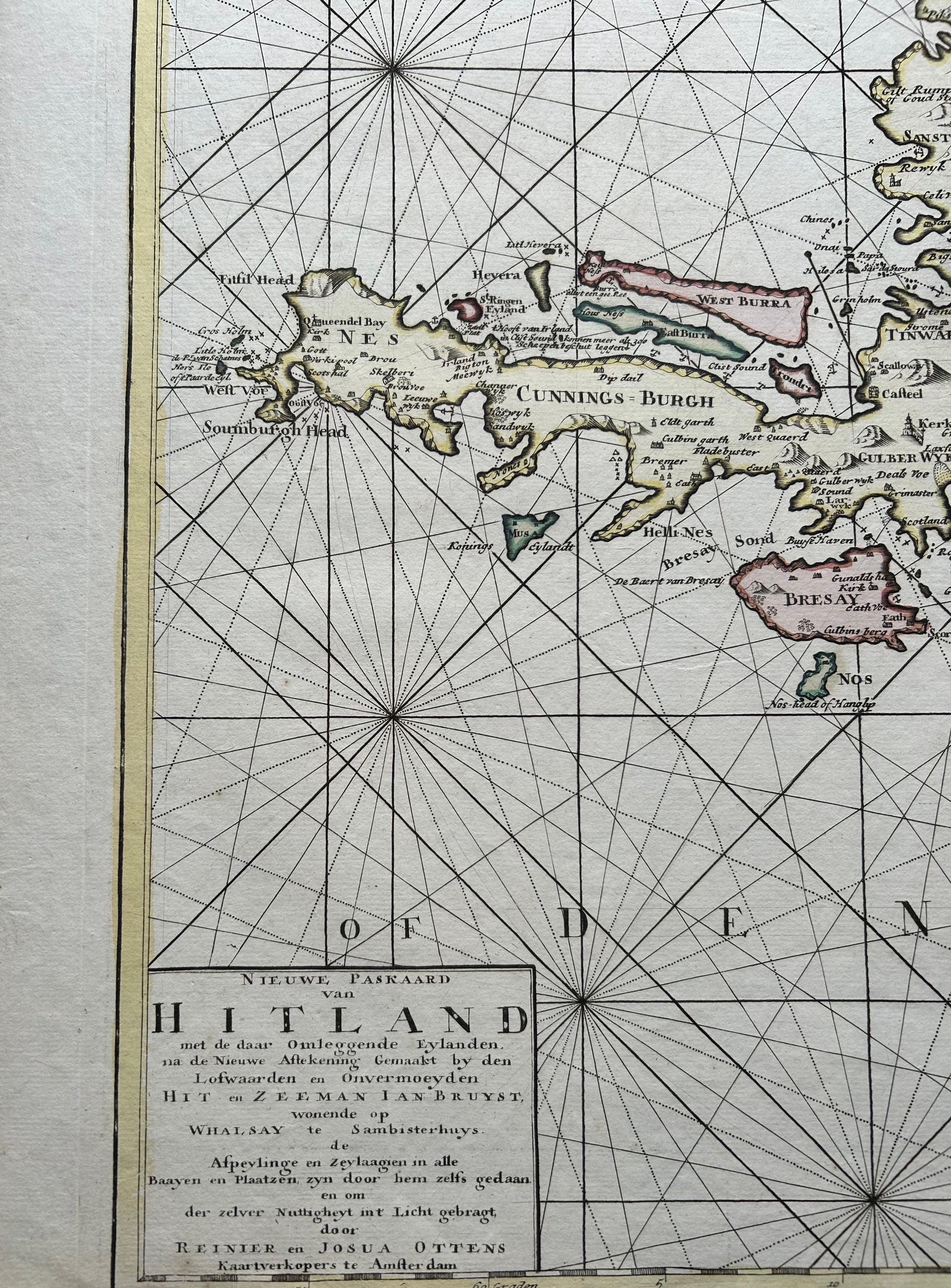
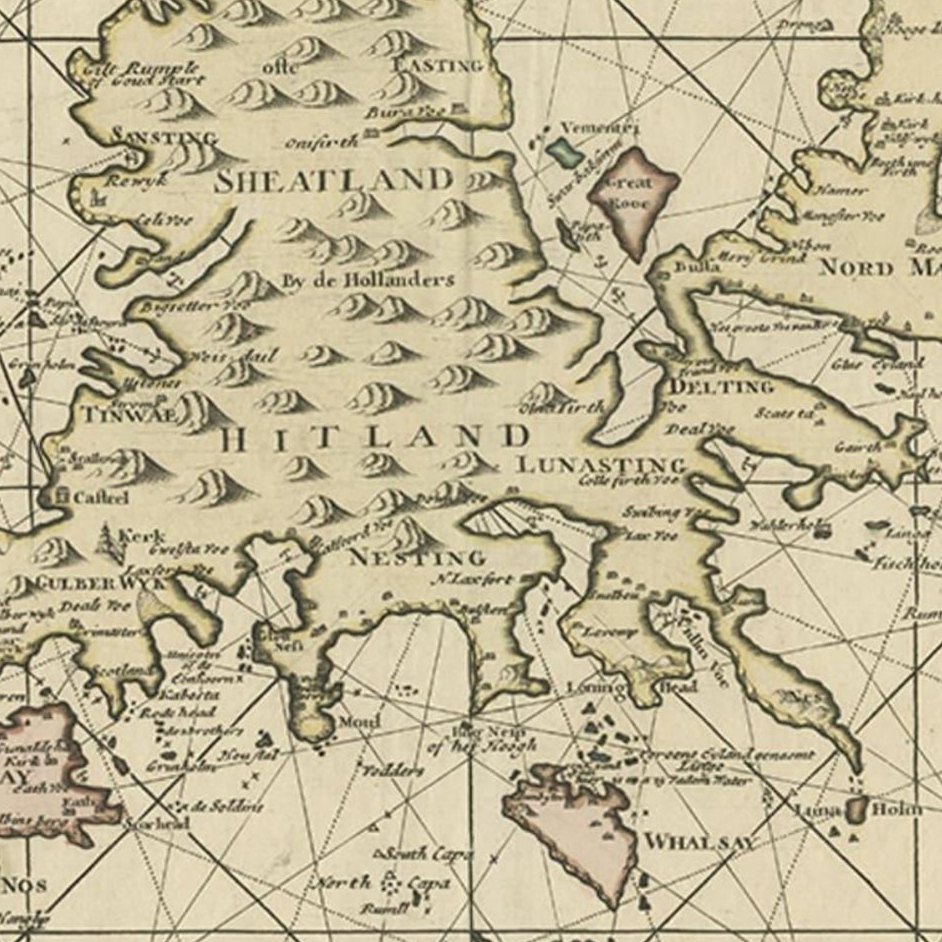
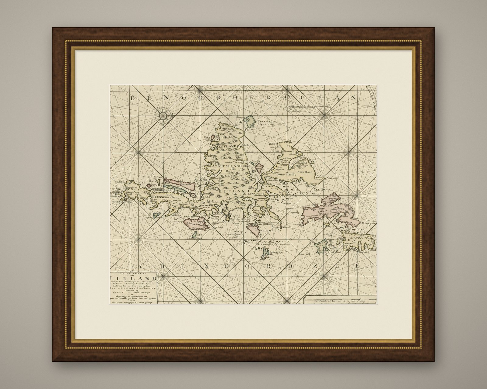
This striking antique nautical chart titled Nieuwe Paskaard van Hitland… presents the Shetland Islands and surrounding waters in rich detail. The chart was published by the Dutch cartographers Reinier and Joshua Ottens, who were among the most prominent map publishers of the 18th century. Their Amsterdam-based firm inherited and expanded upon the work of their father Joachim Ottens, specializing in fine atlases and maritime charts at the height of Dutch cartographic influence.
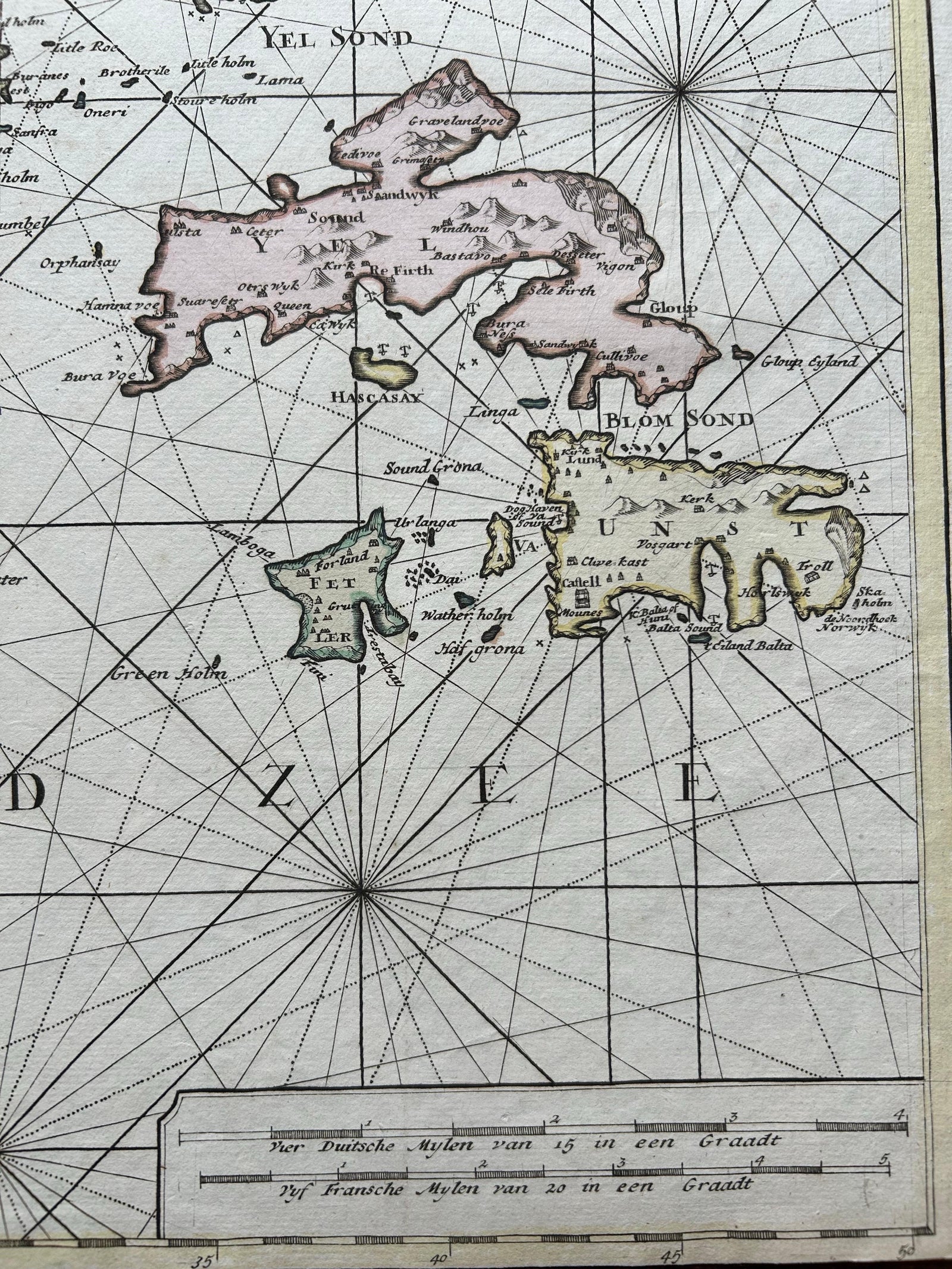
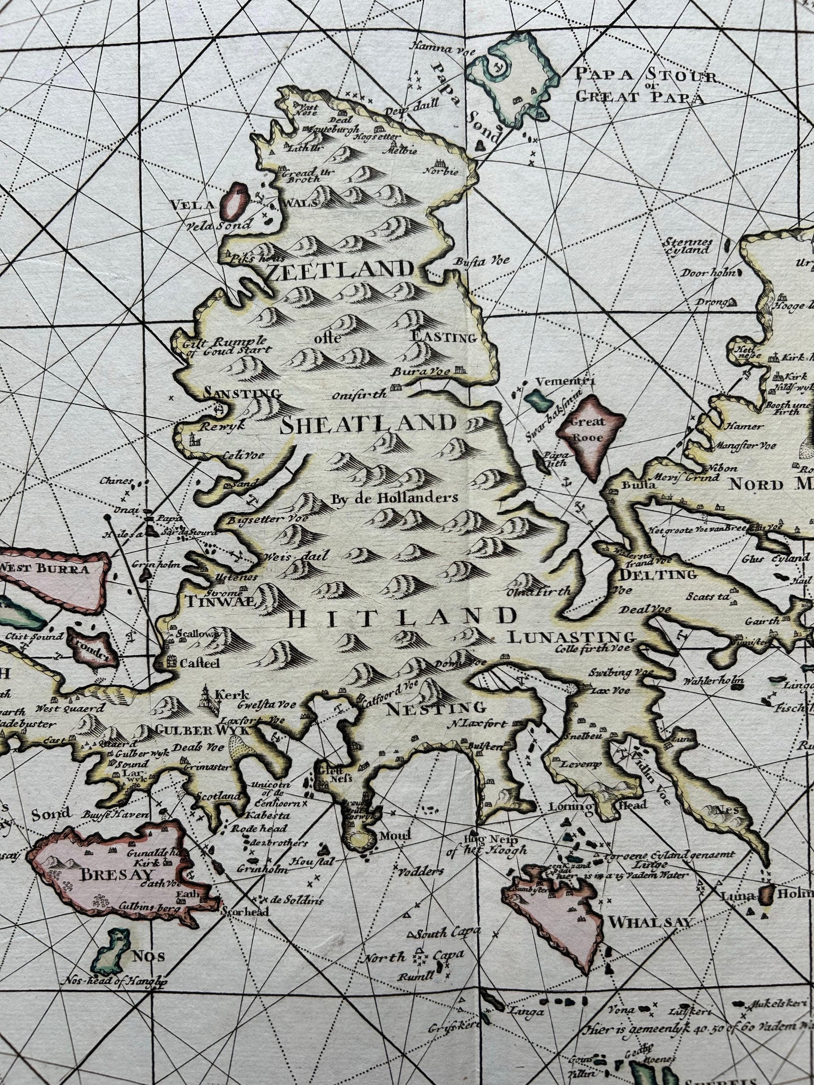
Centered on the Shetland Islands, referred to here as “Hitland”, the map is a superb example of Dutch sea charting, featuring intricate rhumb lines, compass roses, coastal soundings, sandbanks, and bays. The surrounding islands and coastal configurations are all laid out with navigational accuracy. The long and elaborate Dutch title refers to the source of the hydrographic information: Jan Bruyst, a seasoned sailor from Whalsay, whose detailed surveys were used to plot the bays, anchorages, and sailing routes of the Shetland archipelago.
The map’s clean engraving and fine original hand-coloring accentuate key geographic details and make this an excellent visual document for both historical research and decorative purposes. It stands as a testament to the significance of the Shetlands in 18th-century maritime navigation, especially for Dutch merchants and whalers operating in the North Sea.
Collectors of sea charts, Scottish regional maps, or Dutch Golden Age cartography will find this piece both visually appealing and historically significant.
Condition report: Very good condition overall with general age-related toning. The lower margin has been trimmed short but does not affect the printed image or legibility.
Framing tips: A natural oak or walnut frame with a dark olive or soft cream mat complements the maritime theme. Consider non-reflective glass to preserve clarity of the engraved detail.