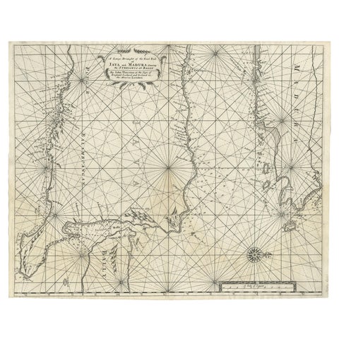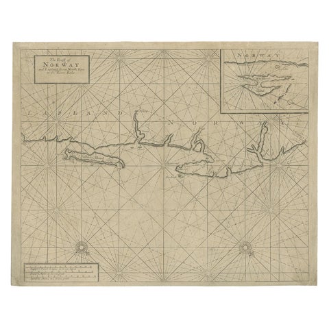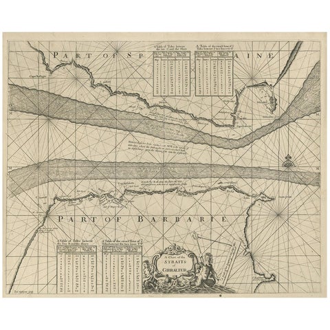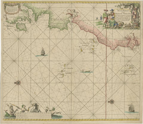
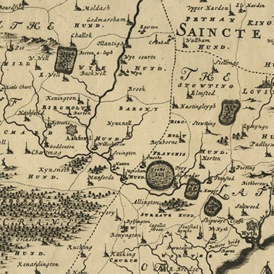
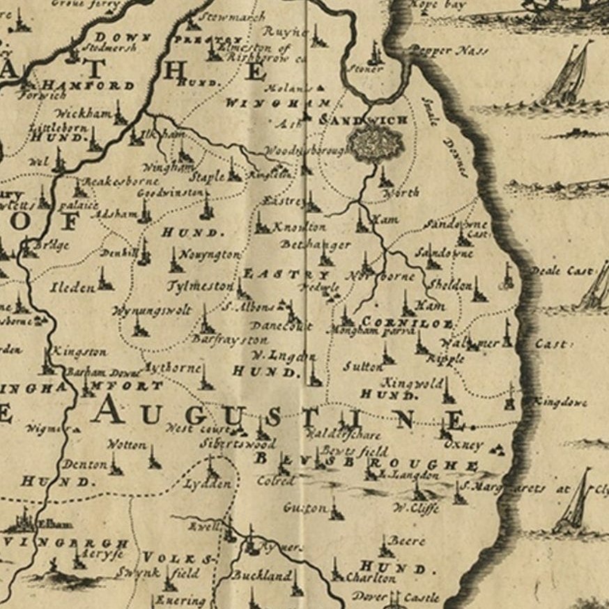
Close-ups
Framed and on the wall
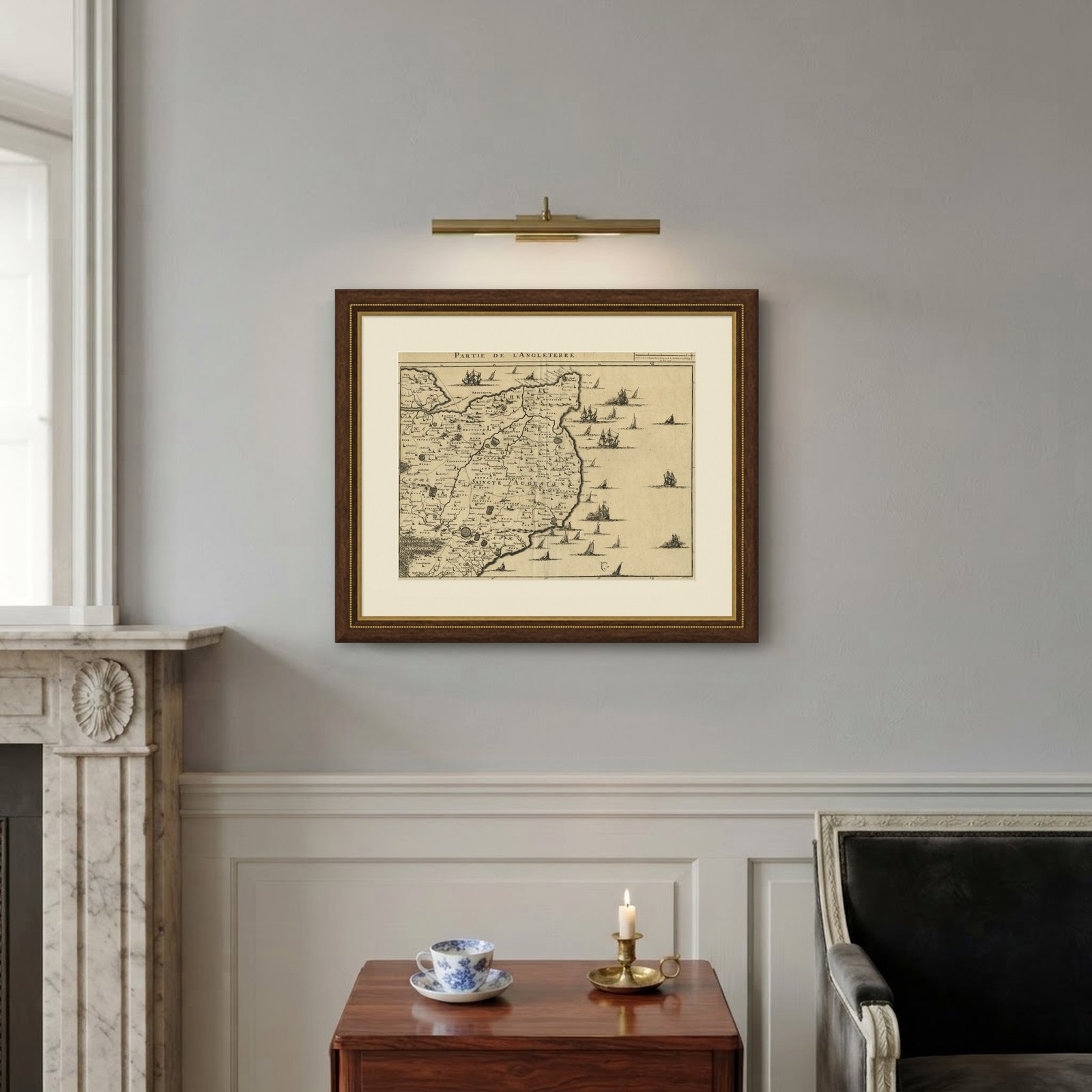
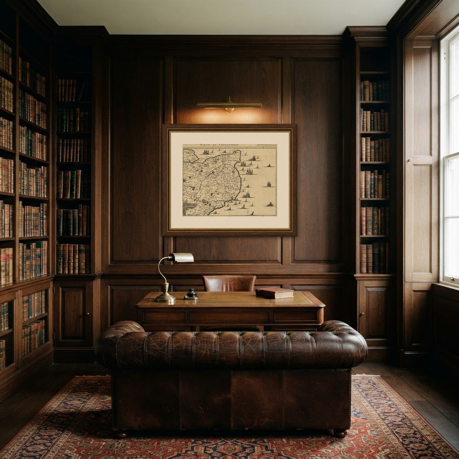
Frame and rooms are illustrations of how the piece could look; it is sold unframed unless the description says otherwise.
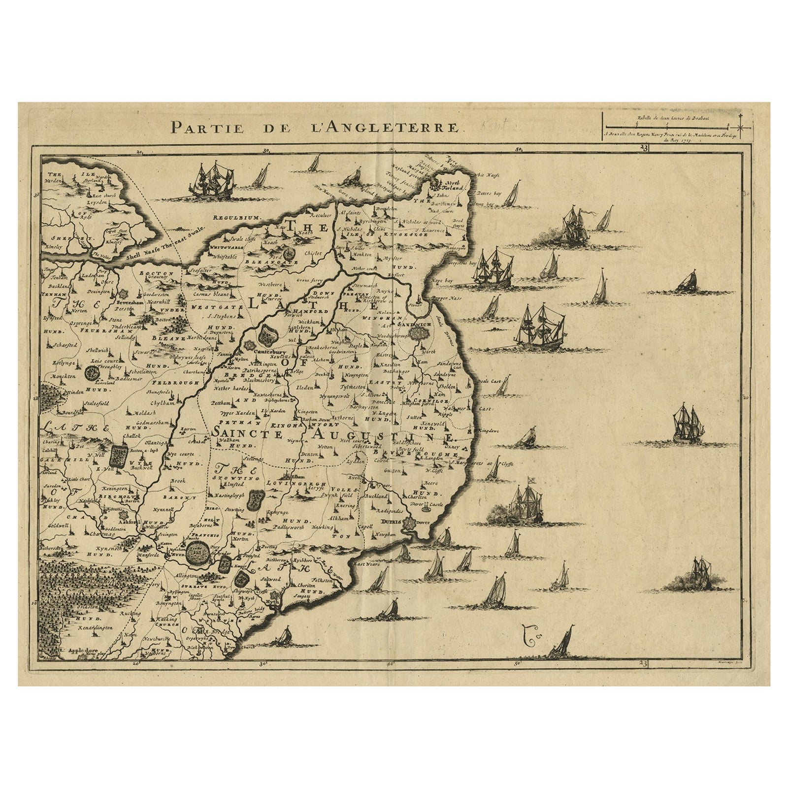
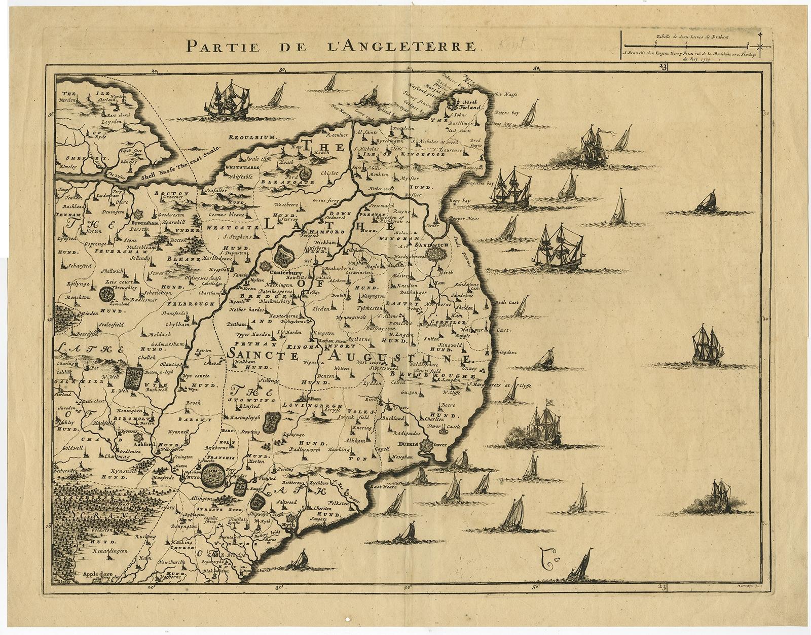
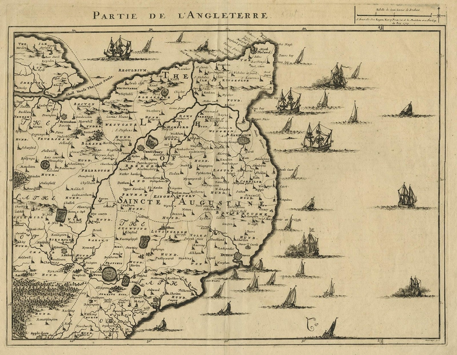
Uncommon Antique Map of the English Channel Coastline, ca.1709
£455
$605 · €540
Original print, not a reproduction.
Ships worldwide from the Netherlands, flat, insured and tracked. 14-day returns. To buy, use Ask a question and we will reserve it for you.
- Date
- 1709
- Sheet size
- 18.9 × 24.2 in (48 × 61.4 cm)
- Condition
- Good. Some crinkles and soft creases. Small hole bottom margin. A few small spots. Original middle fold as issued. General age-related toning and/or occasional minor defects from handling. Blank verso. Please study image carefully.
- Collection
- Sea charts
- Era
- 1700 to 1789, Age of discovery
- Stock no.
- f_27387502
Antique map titled 'Partie de L'Angleterre' Uncommon map of the English Channel coastline with many boats on the sea. Source unknown, to be determined.
Artists and Engravers: Made by 'Jacobus Harrewijn' after 'Henry Fricx'. Jacobus Harrewijn (1660-1727): Dutch engraver and etcher of topographical and decorative prints. Born in Amsterdam, died in Brussels. He was a scholar of the famous Romeyn de Hooghe. Married in Amsterdam in 1683. He became a master in the guild in Brussels in 1695 and he is known to have worked in The Hague in 1727.