Antique Sea Charts and Prints: Amsterdam
Amsterdam from the water: the IJ crowded with ships, the Oosterdok and the naval arsenal, the shipyards, cranes and quays of the city that published the world's sea charts in the 1600s.
19 pieces
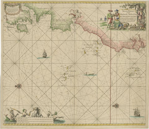
1717 Johannes Van Keulen Sea Chart of the Eastern Atlantic, Amsterdam to Gambia
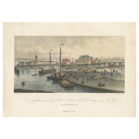
Antique Print of the Harbour of the IJ 'Amsterdam' by Stemler '1871'
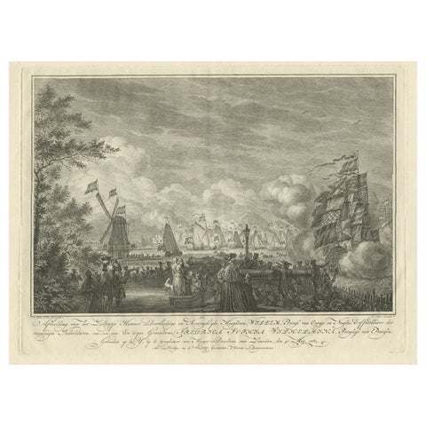
Antique Print of the Sailing Tour on the IJ River , Amsterdam, 1768
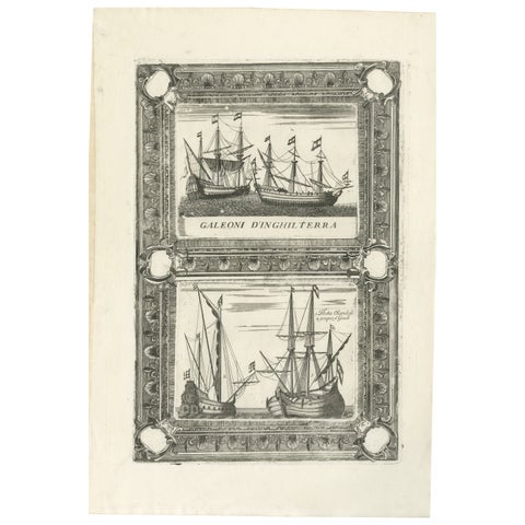
Dutch Inland Sailing Boats, Amsterdam–Haarlem & Delft–Rotterdam, Coronelli 1690
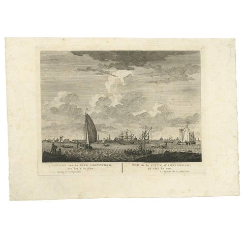
Antique Print with a View of Amsterdam from the IJ Dock by H. Schouten
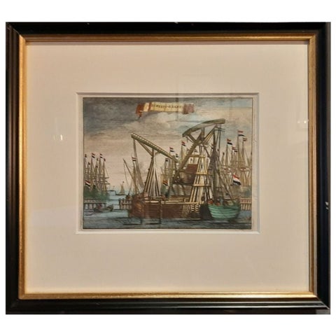
Antique Framed Print of the Ship Cranes of Amsterdam, The Netherlands, 1693
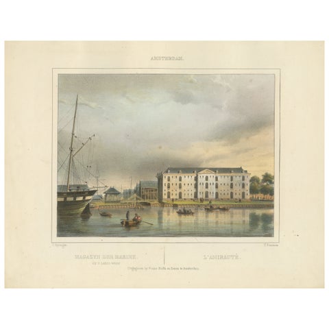
Antique View of Amsterdam Naval Arsenal, Hand-Colored Lithograph c.1850
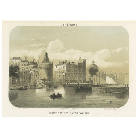
1857 Lithograph of Amsterdam’s Oosterdok Quay and Harbor
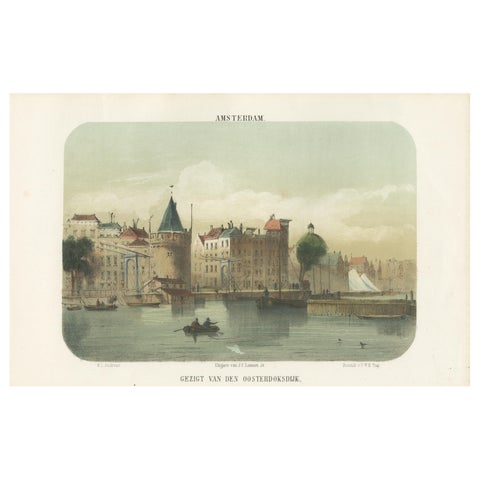
Amsterdam View from the Oosterdok, 19th Century Lithograph with Boats, 1855
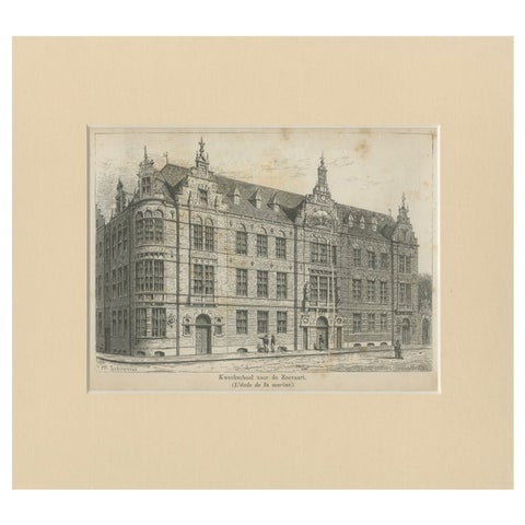
Antique Print of the Former Maritime Academy of Amsterdam, c.1890
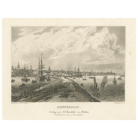
Amsterdam Harbor View: Antique 19th Century Engraving of Maritime Life
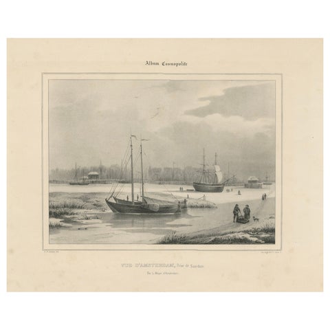
Amsterdam View with Ships and Ice Skaters, Vue d’Amsterdam, circa 1850
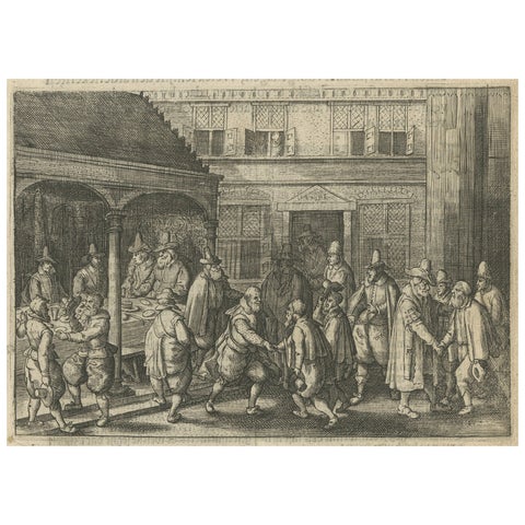
The Return of Dutch Explorers to Amsterdam Harbor, Pontanus, 1611
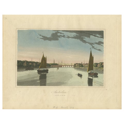
Antique View of Amsterdam with Sailing Boats, Hand-Colored Print c.1818
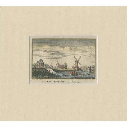
Antique Print of a Harbor Near the Amstel River in Amsterdam, c.1730
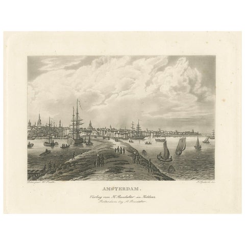
View of Amsterdam from the Water with Sailing Ships, Baedeker, circa 1850
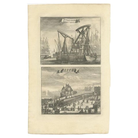
Antique Print of Ship Cranes and a Bridge in Amsterdam, circa 1730
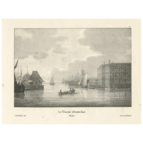
Amsterdam Maritime Shipyard View by Schelfhout, 19th Century Lithograph
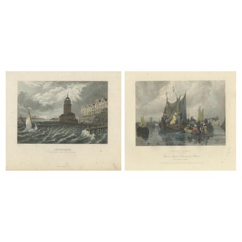
Hand-Colored Engravings of Dutch Maritime Scenes: Amsterdam and River Dort, 1830
More to explore
PLACES