Antique Sea Charts and Prints: Anson's voyage round the world
Charts and views from George Anson's voyage round the world (1740 to 1744), published from 1748: the coasts of Chile and Mexico, Juan Fernandez, Acapulco and the Pacific crossing.
8 pieces
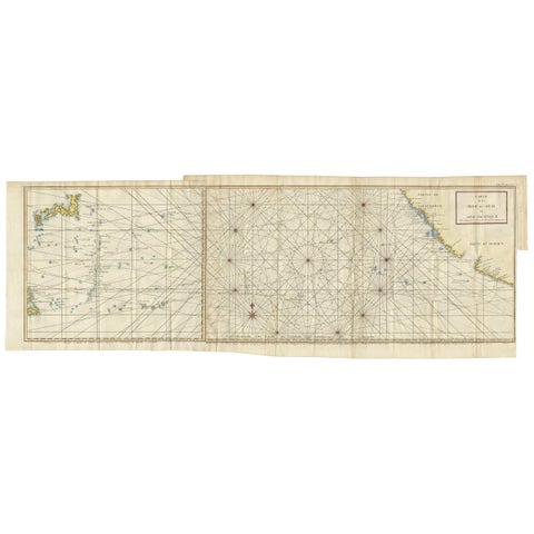
Antique Chart of the Mid-Pacific Ocean by Anson, c.1784
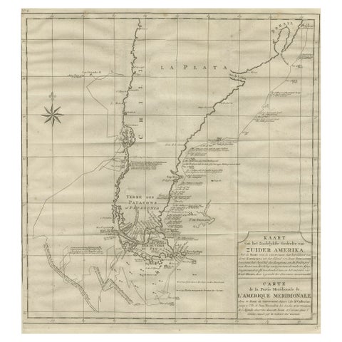
Antique Map of Tracks of Anson's Ships around South America & Cape Horn, 1749
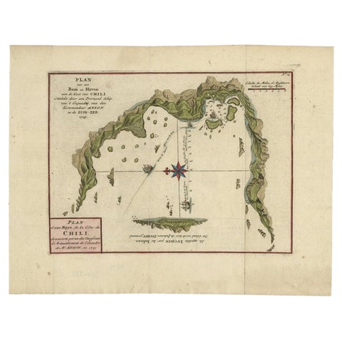
Chile Coast Bay Map, Antique 1749 Chart by Anson from Voyage Around the World
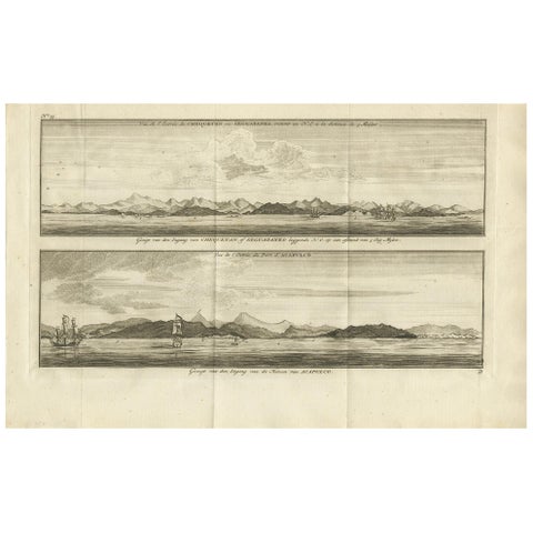
Antique Print of Zihuatanejo and the Harbour of Acapulco by Anson '1749'
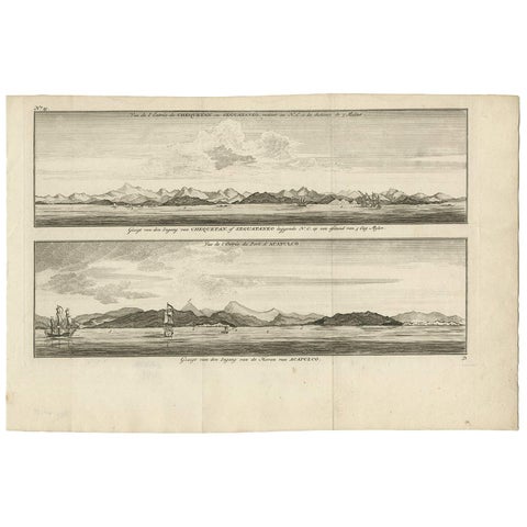
Antique Print of Zihuatanejo and the harbour of Acapulco by Anson (c.1760)
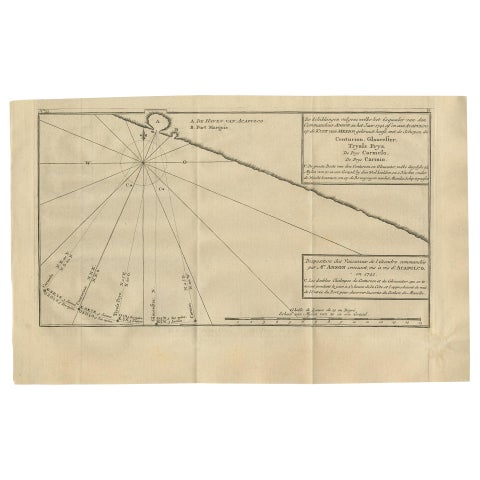
Antique Map of the Coast of Acapulco by Anson, 1749
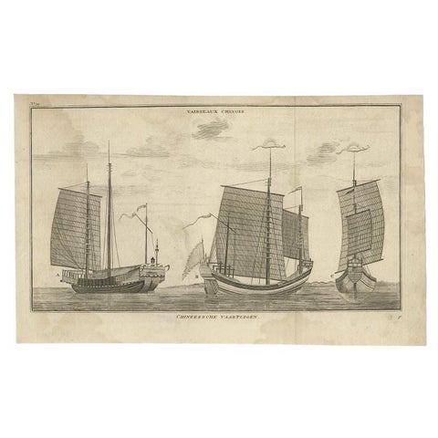
Antique Print of Chinese Vessels by Anson, '1749'
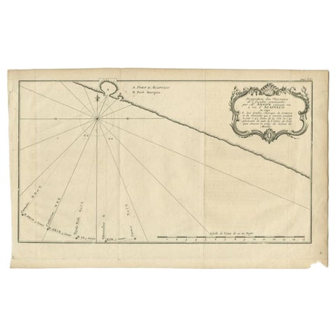
Antique Map of the Coast of Acapulco by Anson, c.1740
More to explore
VOYAGES AND MAKERS