Antique Sea Charts and Prints: Australia and New Zealand
The first charts of Australia and New Zealand, from Cook's survey of the east coast and his circumnavigation of New Zealand to the views of Port Jackson and King George Sound from the French voyages.
13 pieces
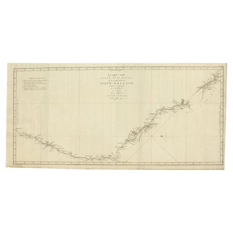
Old Map of Cook's Discovery and Charting of the East Coast of Australia, 1803
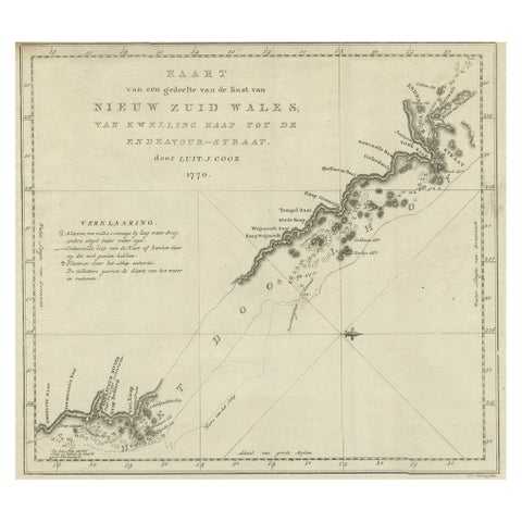
Original Copper Engraving of the Northeast Coast of Australia, 1803
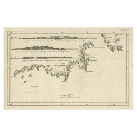
Antique Coastal Views and a Map of Van Diemens Land (Tasmania), Australia, 1803
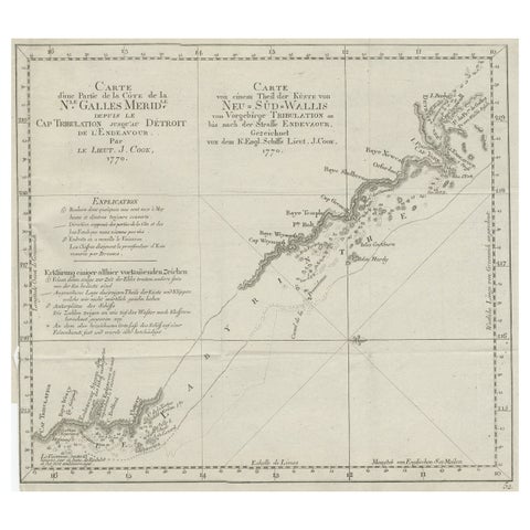
Old Chart of the North-Eastern Coast of Australia Discovered by Cook, 1774
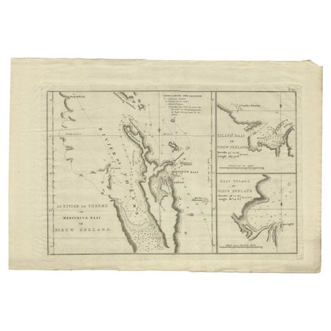
Detailed Map of New Zealand Showing the Route of Capt. Cook's First Voyage, 1803
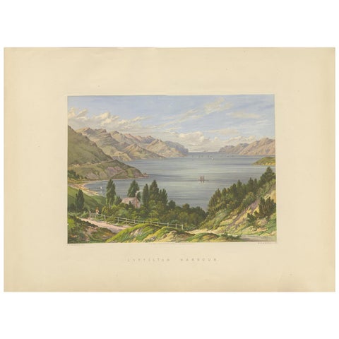
Antique Print of Lyttelton Harbour 'New Zealand' by Blatchley, circa 1877
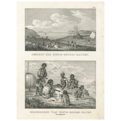
Scenes from King George's Harbour, New Holland (modern-day Australia), 1836
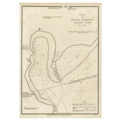
Map of Winter Harbour on Melville Island, Australia by Parry's Expedition, 1821
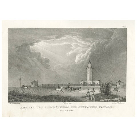
Lighthouse of Port Jackson, New South Wales, Australia, Published in 1836
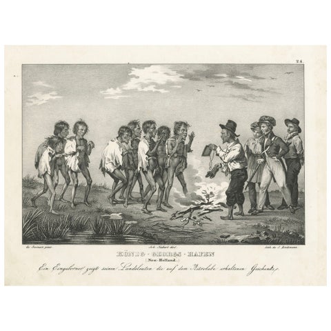
Sharing Astrolabe Gifts at King George's Harbour, New Holland (Australia), 1836
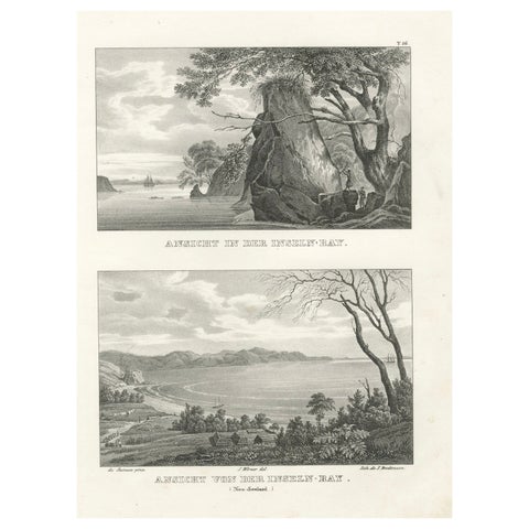
Scenic Views of Inseln Bay, New Zealand, from the Astrolabe Voyage, circa 1836
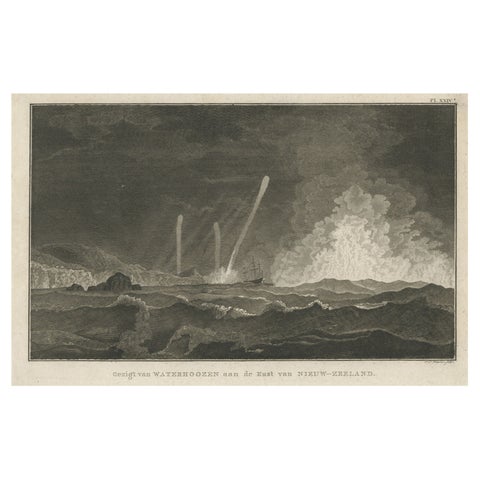
Antique Print of Three Whirlwinds and a Ship off the Coast of New Zealand, 1803
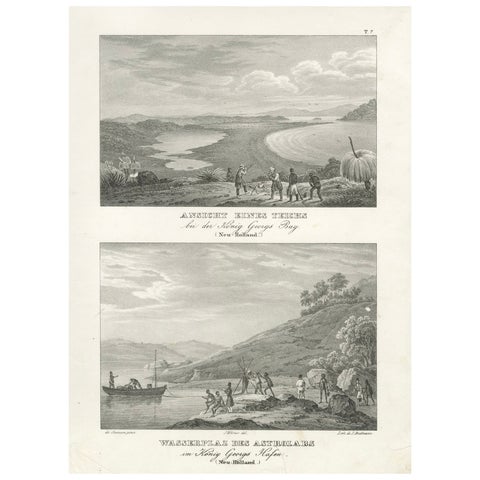
Evocative Scenes from King George's Harbour (modern-day Albany, Australia), 1836
More to explore
PLACES