Antique Sea Charts and Prints: Britain and Ireland
Sea charts of the English Channel, the Irish Sea and the coasts of Scotland and Shetland, with harbour views of London, Liverpool, Portsmouth and Plymouth and the regattas of the Victorian yacht clubs.
23 pieces
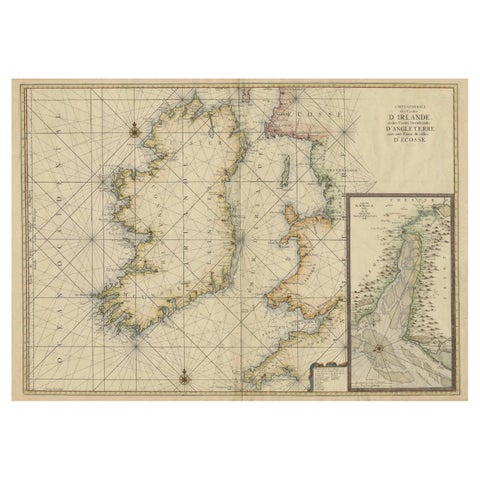
Large 1693 Maritime Map of Irish Sea, West Coasts of Ireland, England, Scotland
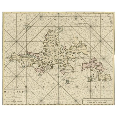
Shetland Islands Sea Chart, Antique Nautical Map by Ottens Brother c.1745
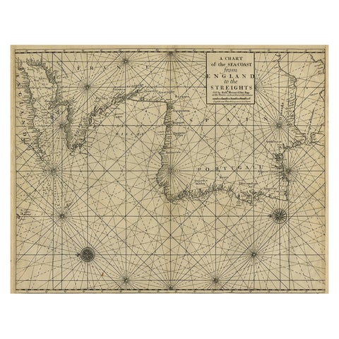
Original Antique Sea Chart of the Coastline from England to Gibraltar, ca.1700
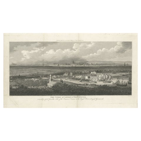
Rare City View of London and Westminster, Showing Many Battles Ships, 1804
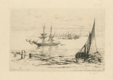
A Brig at Anchor, Thames, Haden, 1870, British Etching Revival
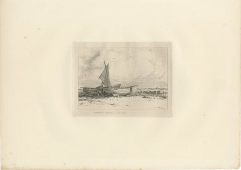
Antique Great Yarmouth Fishing Boats Maritime Etching by E.W. Cooke, 1828
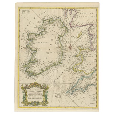
Hand-colored Nautical Chart: St. George's Channel and the Irish Sea, 1744
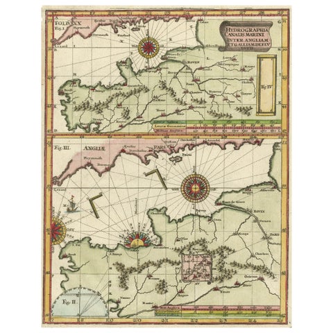
Two Charts of The English Channel, Each Adorned with Nice Compass Roses, ca.1700
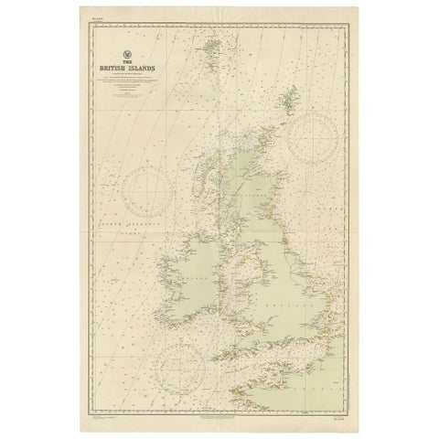
Large Sea Chart of the British Islands, 1918
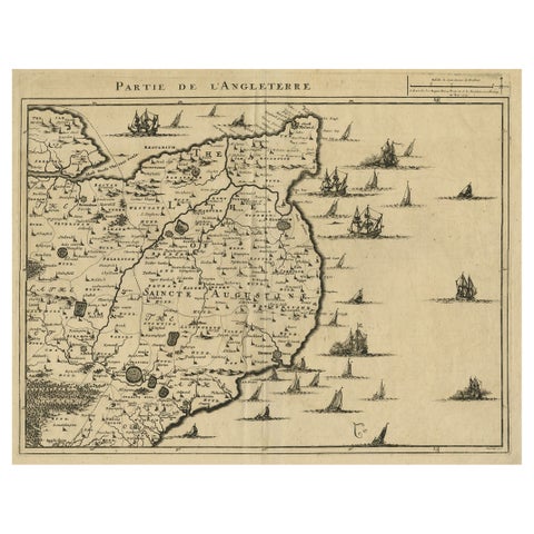
Uncommon Antique Map of the English Channel Coastline, ca.1709
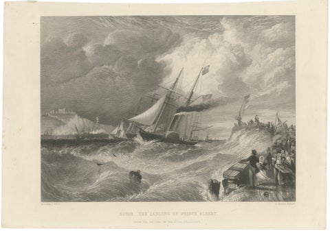
Prince Albert Landing at Dover, Royal Maritime Engraving, c.1840
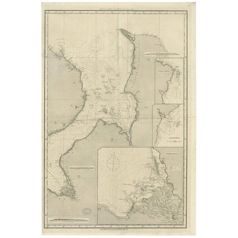
Antique Map of the British Islands to the White Sea by J. Imray
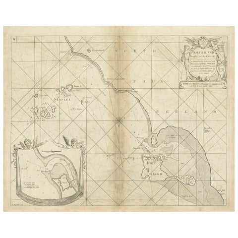
Coast of Northumberland, England, Incl the Holy & Farne Islands, Etc, 1693
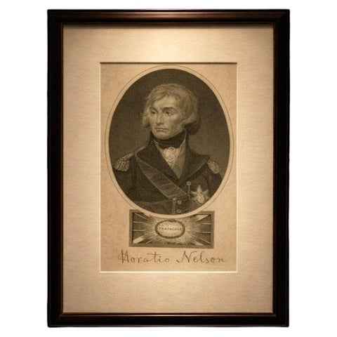
Horatio Nelson Portrait, Trafalgar Engraving, Naval Hero, 1819 London
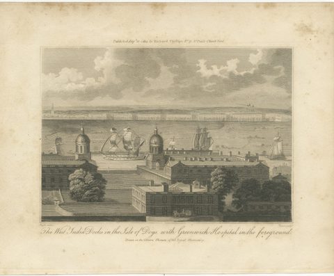
The West India Docks in the Isle of Dogs, Antique London Engraving, 1804
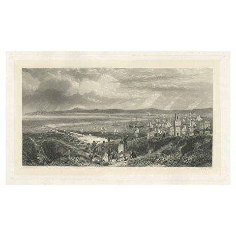
Old Decorative Maritime Print of Ships in an Harbour, Possibly England, C.1860
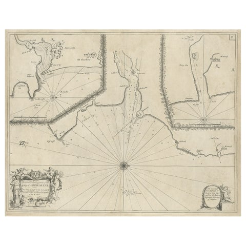
Antique Chart of Dundee, Aberdeen and Montrose in Scotland, C.1774
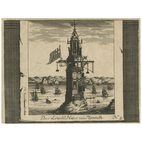
Lighthouse at Plymouth, Engraving by Pieter van der Aa, Leiden 1707
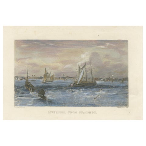
Liverpool from Seacombe, 19th-Century Maritime Engraving by W.B. Scott
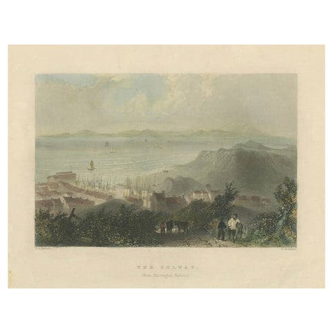
Tranquil View of The Solway from Harrington Harbour in England, 1841
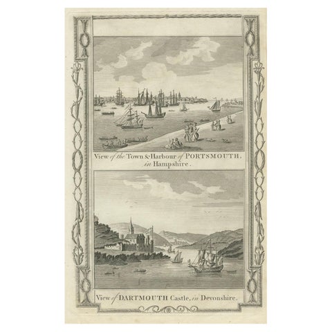
1784 View Of Portsmouth Harbour And Dartmouth Castle By Walpoole
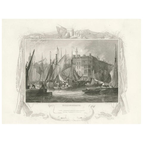
Billingsgate Market in the 1830s: A Hub of London's Maritime Commerce, 1835
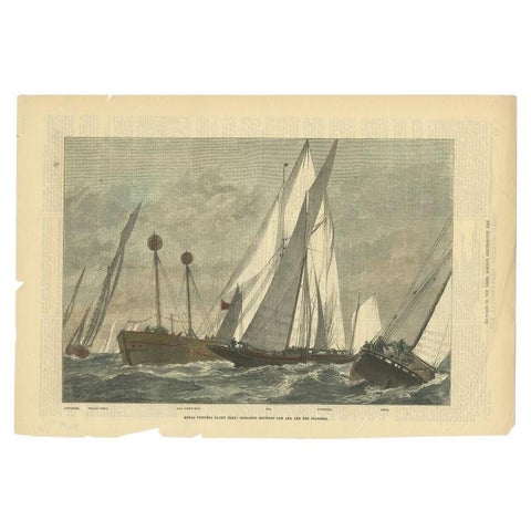
Royal Victoria Yacht Club, London News, 1877
More to explore
PLACES