Antique Sea Charts and Prints: China
Charts of the China coast, views of its ports, and engravings of Chinese junks and river craft, from the first European accounts of the China trade to the French surveys of the 1850s.
17 pieces
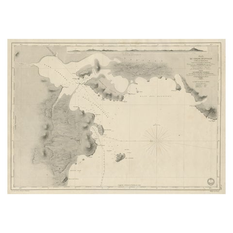
Antique Map of Part of the Chinese Coast, Explored by the French, Ca.1852
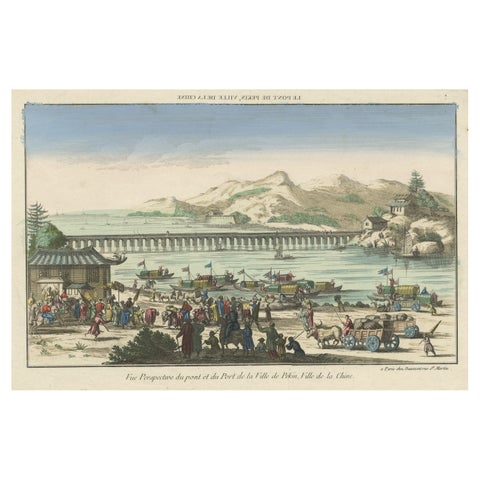
Rare Early View of the Harbour of Peking or Beijing, Capital of China
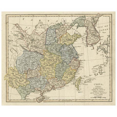
Original Old China Map, From Korea and the Sea of Japan to Teypin Island, 1803
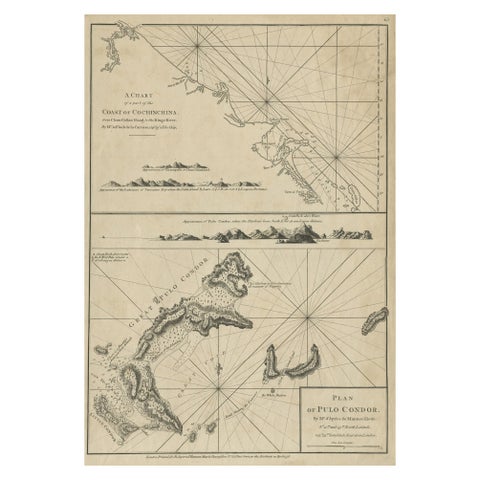
Chart of the Coast of Cochinchina' and 'Plan of Pulo Condor', Vietnam, 1778
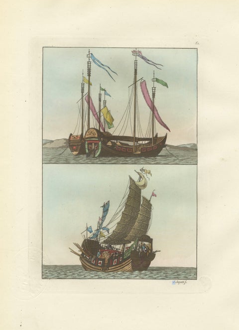
Chinese Junks and Sailing Vessels, Ferrario Il Costume Antico e Moderno, 1815
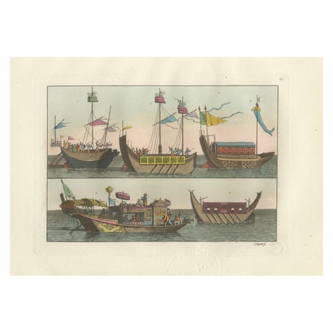
Chinese Boats and River Vessels, Hand-Coloured Ferrario Engraving, 1815
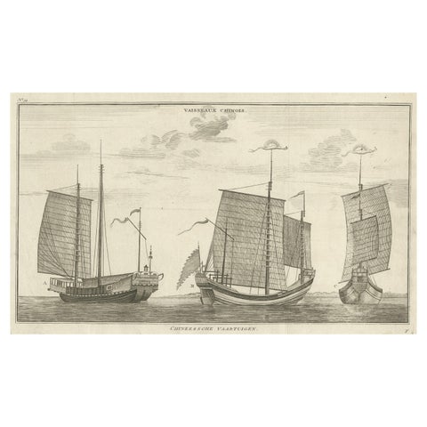
Antique Original Engraving of Chinese Vessels in the 18th Century, 1765
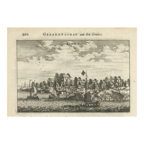
Antique Print of Chinese Vessels Near Lantam, China, 1665
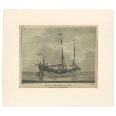
View of a Chinese Junk, Antique Maritime Engraving, Published 1802
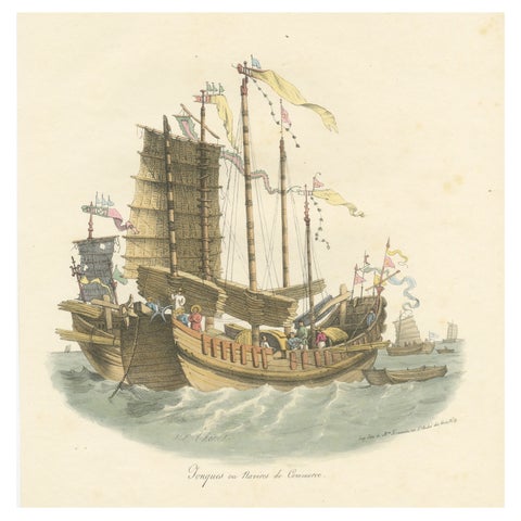
Antique Print of Chinese Junks or Merchant Ships, 1827
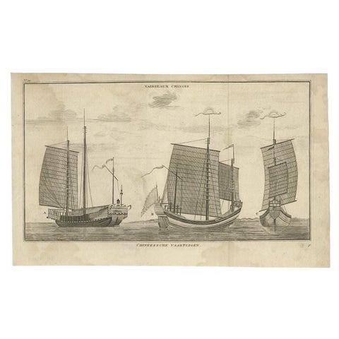
Antique Print of Chinese Vessels by Anson, '1749'
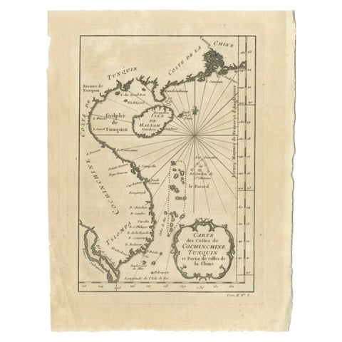
Antique Map of the Coast of China by Bellin, 1752
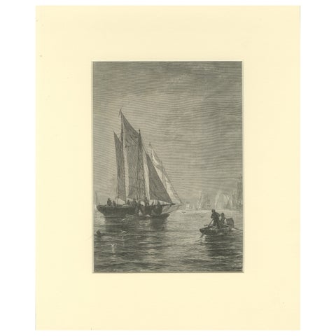
Engraving of Sailing Boats in Possibly Victoria Harbour, Hong Kong, ca.1850
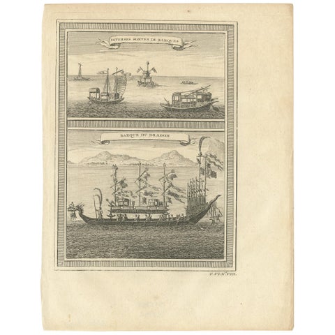
Antique Print of Chinese Vessels, 1748
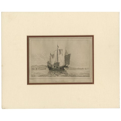
Antique Print of a Chinese Sailing Ship, 1840
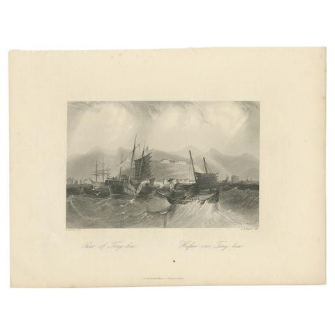
Antique Print of the Port of Ting Hai in China, c.1850
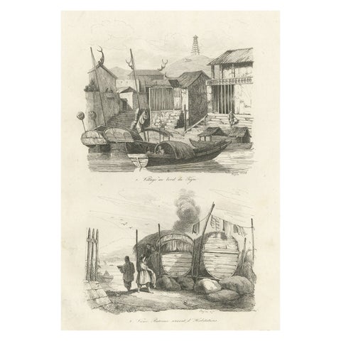
Antique Print of Chinese Boats and a Chinese Village by Dumont d'Urville '1834'
More to explore
PLACES
Indonesia and the Dutch East Indies 52Africa 45The Pacific 38North America 35South America 24The Caribbean 12The Mediterranean 41Britain and Ireland 23France 20The Netherlands and the North Sea 17Amsterdam 19India 11Japan 12Southeast Asia 12Australia and New Zealand 13The Arctic and the far north 14