Antique Sea Charts and Prints: French charts: Bellin, Mannevillette, Bonne
Charts from the French hydrographers of the 1700s: Jacques Nicolas Bellin of the Depot de la Marine, Apres de Mannevillette's Neptune Oriental for the route to India and China, and Rigobert Bonne, with the French voyages that followed.
19 pieces
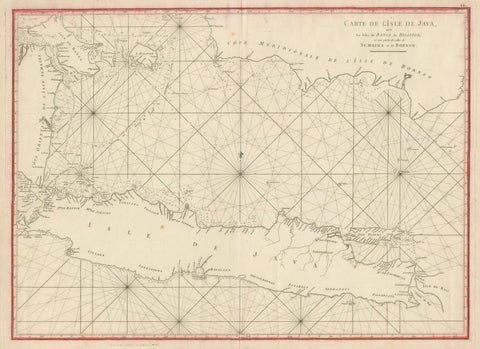
Antique Sea Chart Java Indonesia, Mannevillette Neptune Oriental 1775

Java, Sumatra & Borneo Map, Bellin & van Schley Decorative Chart, 1750s
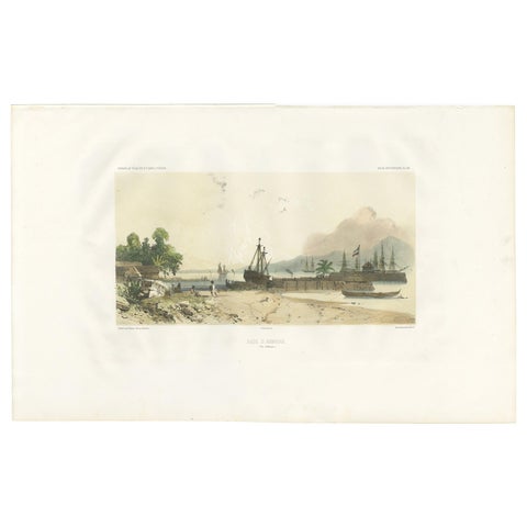
Antique Print of the Port of Ambon by D'Urville, circa 1850
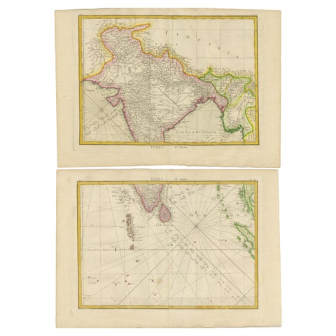
Charting the Course of Empire: Bonne's 1770 Masterpiece Maps of the Indian Ocean
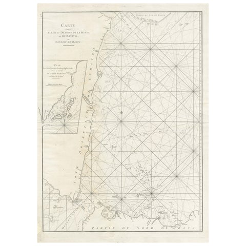
Antique Sea Chart by J. B. d'Apres de Mannevillette, Sumatra, 1780
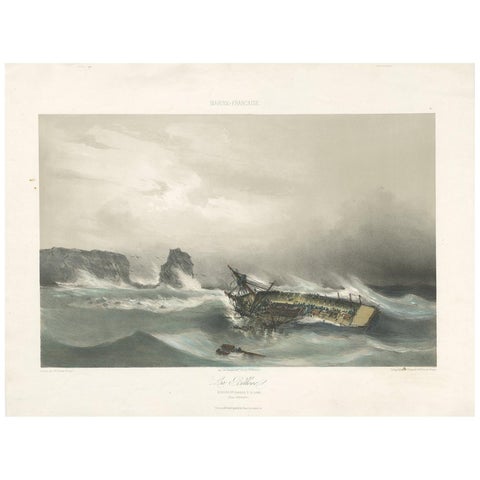
Antique Ship Print 'La Bellone' by Durand-Brager, circa 1850
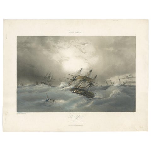
Antique Ship Print 'Le Sufren' by Durand-Brager, circa 1850
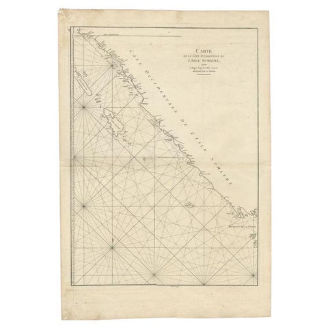
Antique Map of the South-Western Coast of Sumatra by De la Haye, c.1780
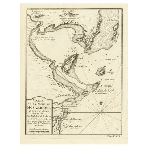
Mozambique Bay, French Naval Sea Chart by Bellin, c.1765
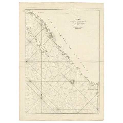
Antique Coastal Map of Sumatra by De La Haye, circa 1780
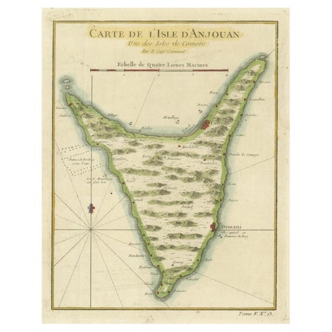
Anjouan Island, Comoros, French Naval Sea Chart by Bellin, c.1765
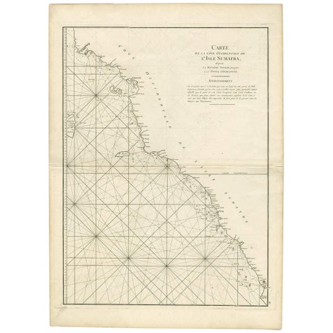
1745 Antique Coastal Map of West Sumatra by J. Mannevillette
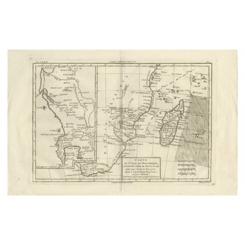
Mozambique Channel & Madagascar, Antique African Sea Chart, Bonne c1780
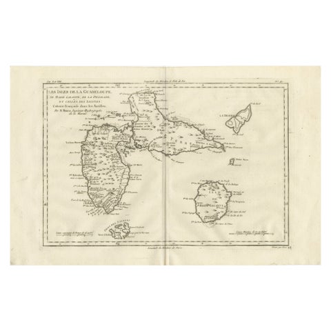
Antique Map Guadeloupe & Marie Galante, Rigobert Bonne Caribbean Chart c1780
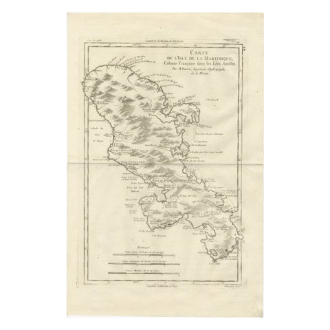
Antique Map Martinique Caribbean Island Chart, Rigobert Bonne French Map, c.1780
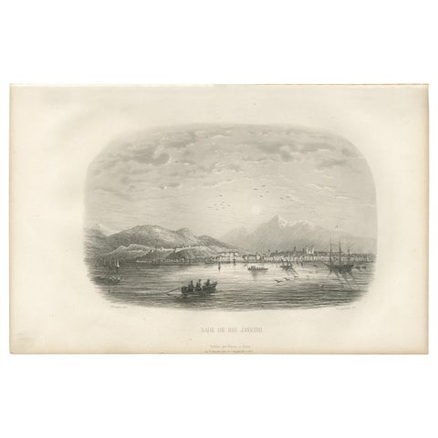
Antique Print of the Harbor of Rio de Janeiro by D'Urville (1853)
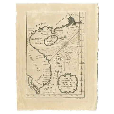
Antique Map of the Coast of China by Bellin, 1752
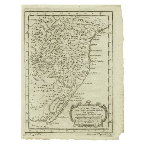
Antique Map of the Coast of Southern Brazil by Bellin, c.1755
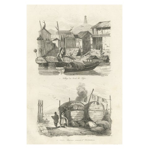
Antique Print of Chinese Boats and a Chinese Village by Dumont d'Urville '1834'
More to explore
VOYAGES AND MAKERS