Antique Sea Charts and Prints: India
Charts and views of India's coasts, the Malabar and Coromandel coasts of the spice and cotton trade, with the Dutch settlements and the ports where East Indiamen called.
11 pieces

Detailed Decorative Antique Map of the Coast of Malabar and Coromandel, India
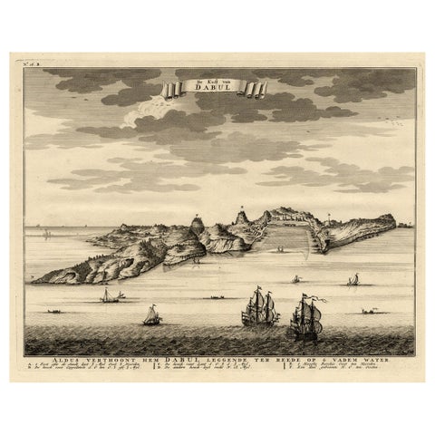
Rare Engraving of the Coast of Dabhol or Dabul, Ratnagiri, Maharashtra in India
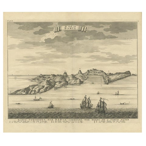
Antique Print of the Coast of Dabhol 'India', 1726
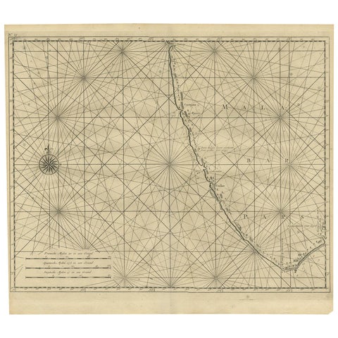
Antique Map of Malabar Coast by Valentijn, 1726
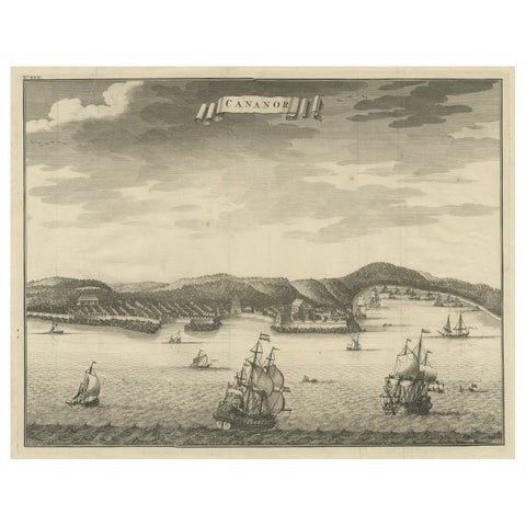
Antique Print of Kannur or Cananore with Ships, in Kerala, India, 1726
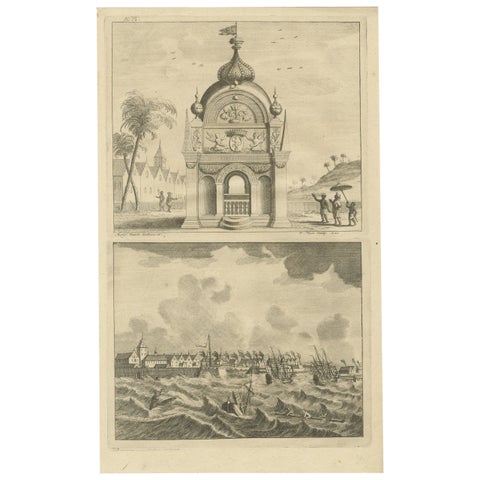
Antique Print of the Coromandel Coast in India, 1726
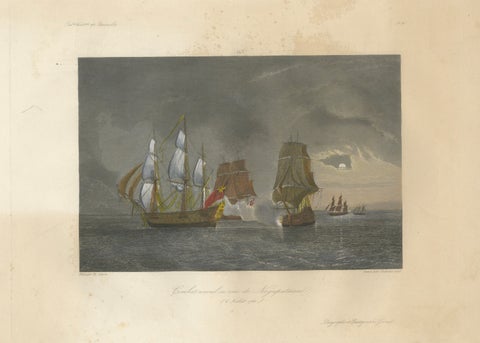
French-British Naval Battle of Negapatam, India, c.1840
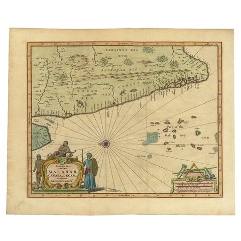
Antique Map of the Malabar Coast by Baldaeus, 1744
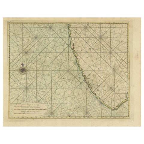
Antique Print of the Malabar Coast of India showing the VOC establishments, 1726
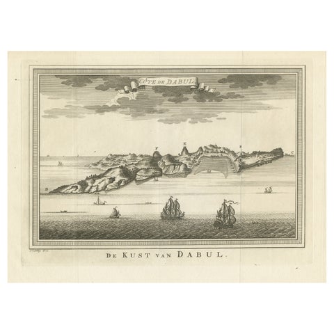
Original Antique Print of the Coast of Dabhol, Dabul, India
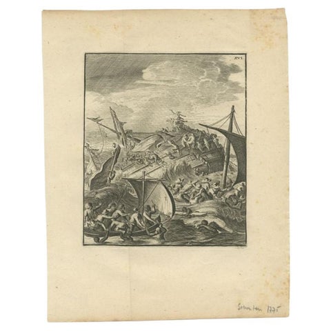
Antique Print of a Shipwreck Near Arrakan in India, 1775
More to explore
PLACES
Indonesia and the Dutch East Indies 52Africa 45The Pacific 38North America 35South America 24The Caribbean 12The Mediterranean 41Britain and Ireland 23France 20The Netherlands and the North Sea 17Amsterdam 19China 17Japan 12Southeast Asia 12Australia and New Zealand 13The Arctic and the far north 14