Antique Sea Charts and Prints: Japan
Japan as Europe charted it: the coasts of Honshu and Kyushu, the Dutch trading post of Dejima at Nagasaki, Japanese junks and pleasure yachts from Montanus, and the coastal surveys of the late 1700s.
12 pieces
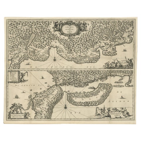
Map of Japanese Coast from Osaka to Tokyo & the Kyushu and Shikoku Islands, 1669

Map of North and East coast of Asia with Japan & inset maps of Kamchatka, c1750
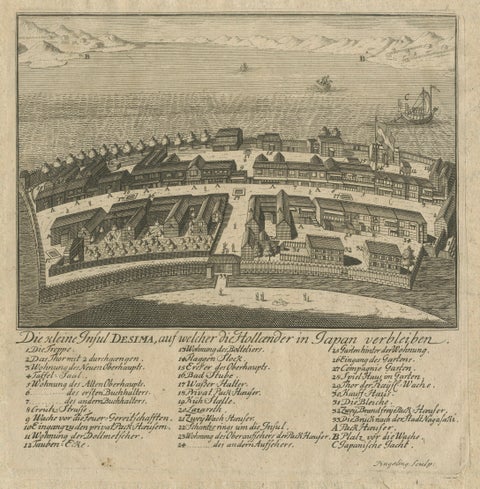
Dejima (Desima) Dutch Trading Post, Nagasaki Japan, VOC Engraving, 1736
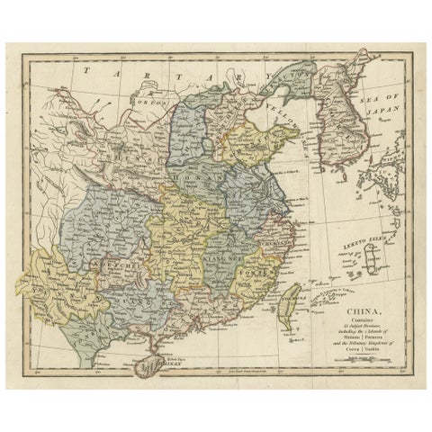
Original Old China Map, From Korea and the Sea of Japan to Teypin Island, 1803
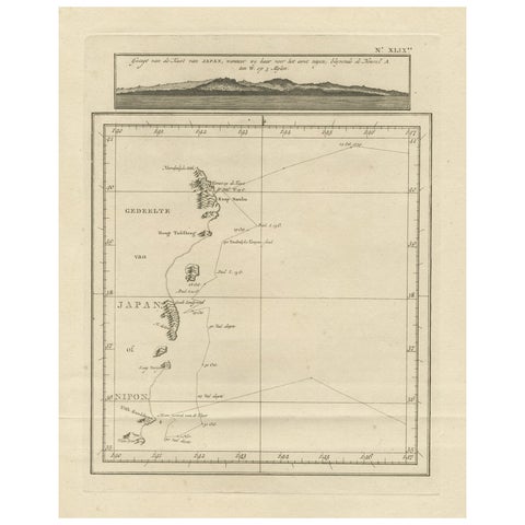
Map of the East Coast of Hanshu or Honshu & a View of the Japanese Coast, 1803
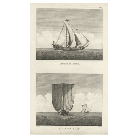
Antique Print of Two Japanese Vessels, 1799
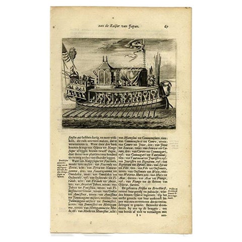
Antique Print of a Japanese Pleasure or Galley Yacht (1669)
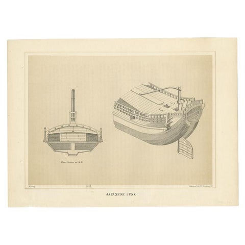
Antique Print of a Japanese Junk Cross Section, 1856
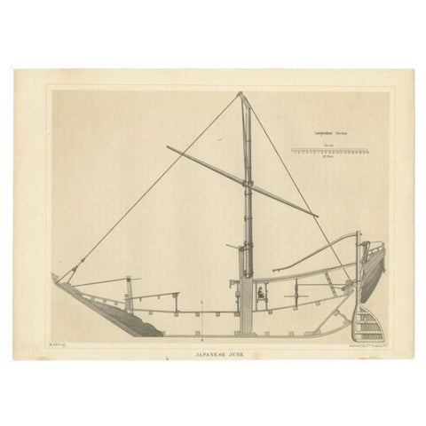
Antique Print of a Japanese Junk Longitudinal Section, 1856
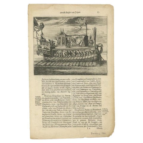
Antique Print of a Japanese Pleasure Yacht by Montanus, 1669
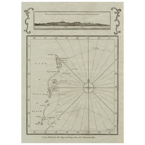
Old Map of the East Coast of Honshu with an Inset, Japan, c.1785
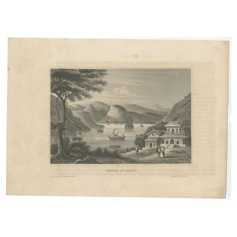
Antique Print of Shimoda a City and Harbour in Japan, circa 1840
More to explore
PLACES
Indonesia and the Dutch East Indies 52Africa 45The Pacific 38North America 35South America 24The Caribbean 12The Mediterranean 41Britain and Ireland 23France 20The Netherlands and the North Sea 17Amsterdam 19India 11China 17Southeast Asia 12Australia and New Zealand 13The Arctic and the far north 14