Black Friday Sale now on: up to 30% off until Monday 30 November →
Orders placed from 15 to 30 November ship from 1 December, in time for Christmas. Our shipping partner: InXpress.
Antique Sea Charts

antiqueseacharts.com

✦

Black Friday Sale now on

Up to 30% off original antique maps and prints, until Monday 30 November

Follow your favourite collections

Receive a weekly selection of new arrivals from the collections you love.

You can change your choices or unsubscribe at any time.

The terms

  • Up to 30% off selected original antique maps and prints. Every piece is an original, printed in its own time; none is a reproduction.
  • The sale runs until Monday 30 November. Prices revert on Tuesday 1 December.
  • Free FedEx shipping on qualifying orders placed on our own websites: USA, Canada, UK and Europe over $500 / €450; rest of the world over $750 / €675. Smaller orders pay our normal shipping rate.
  • Orders placed from 15 to 30 November ship from 1 December, in time for Christmas. Our shipping partner is InXpress.
  • Each piece is unique, so the sale is while stock lasts.
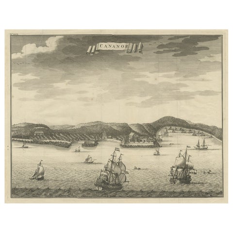
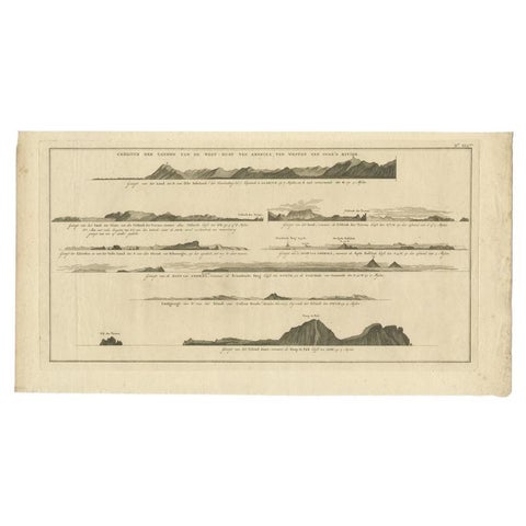
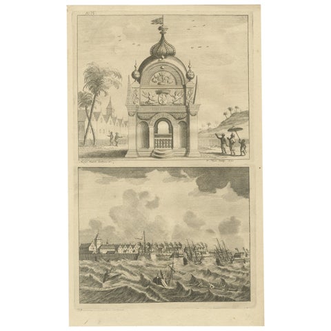
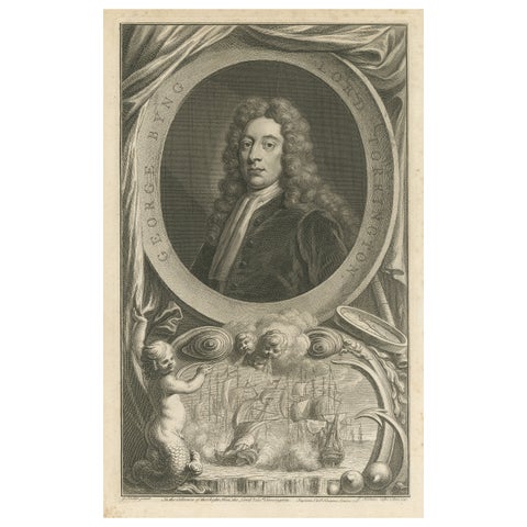
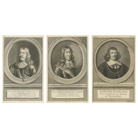
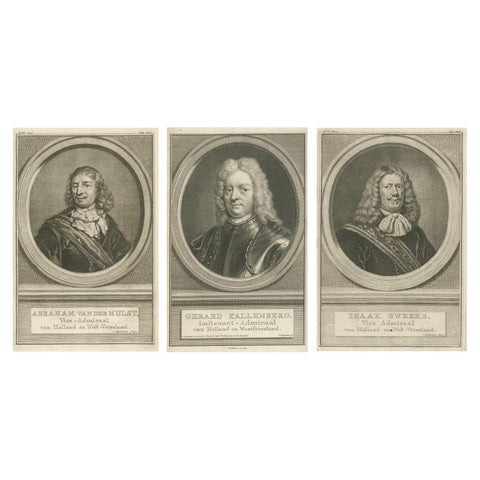
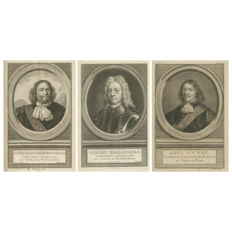
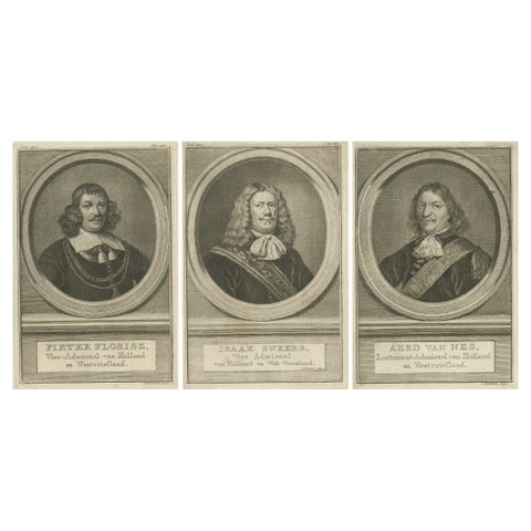
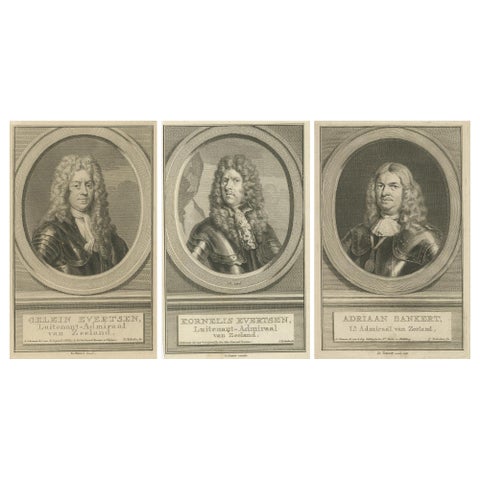
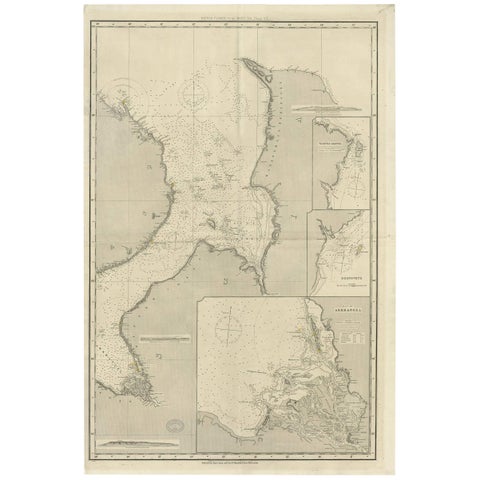
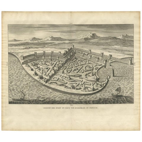
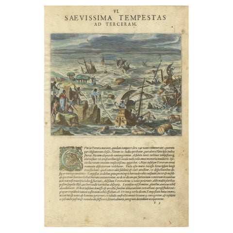
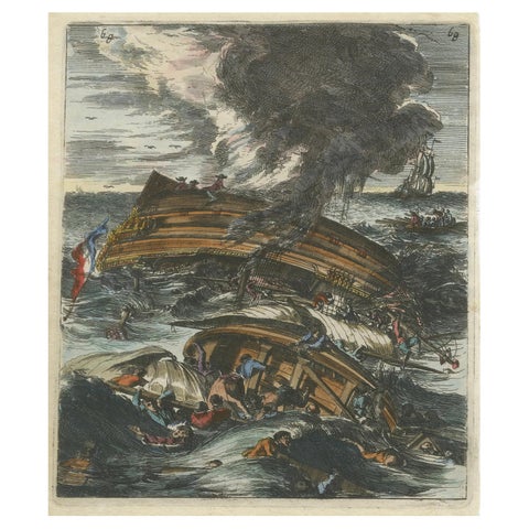
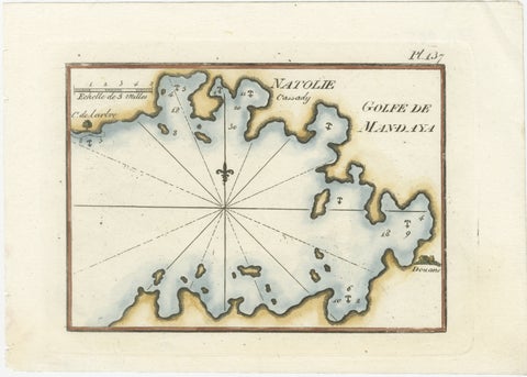
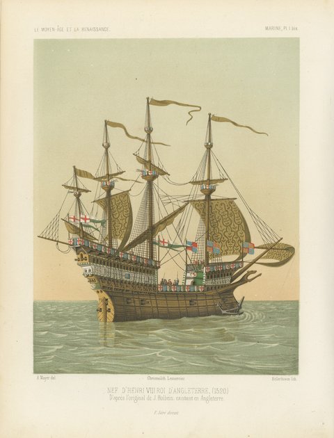
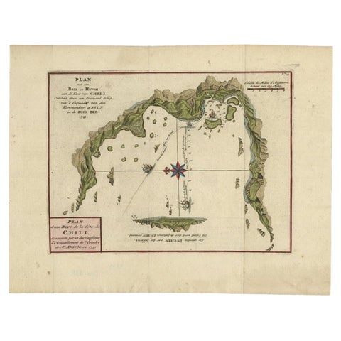
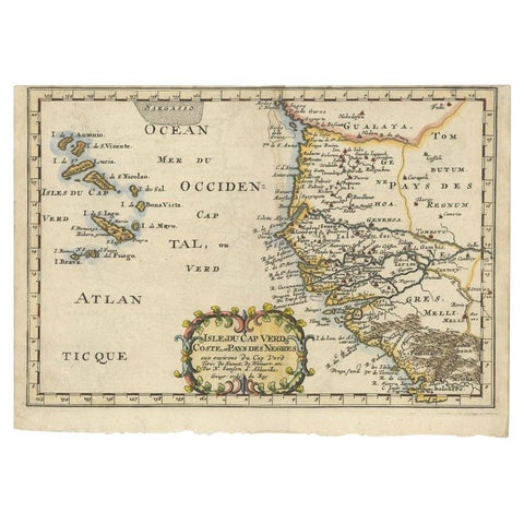
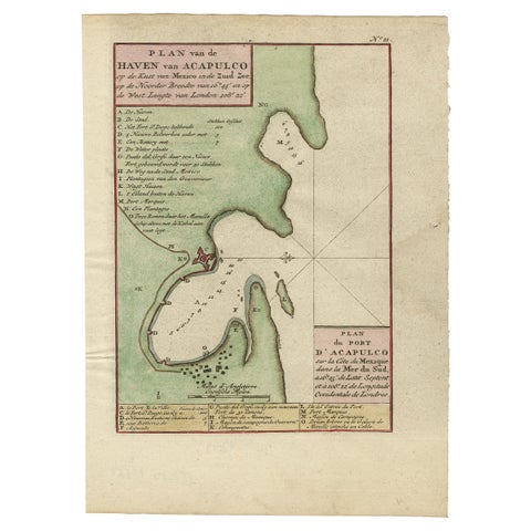
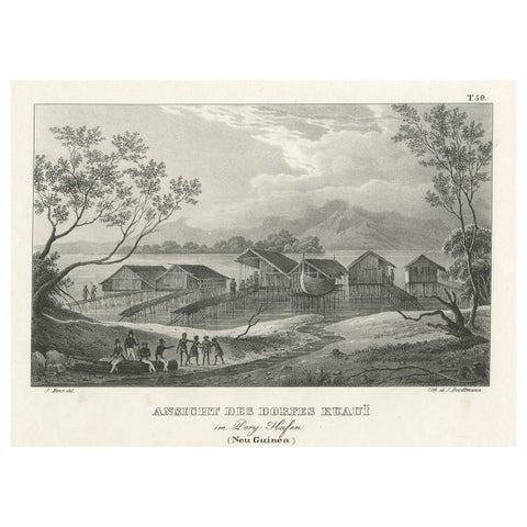
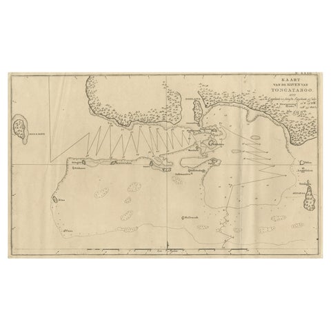
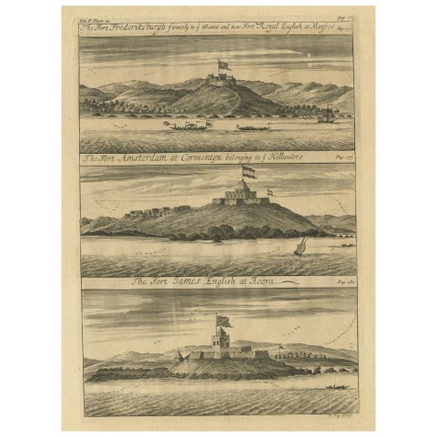
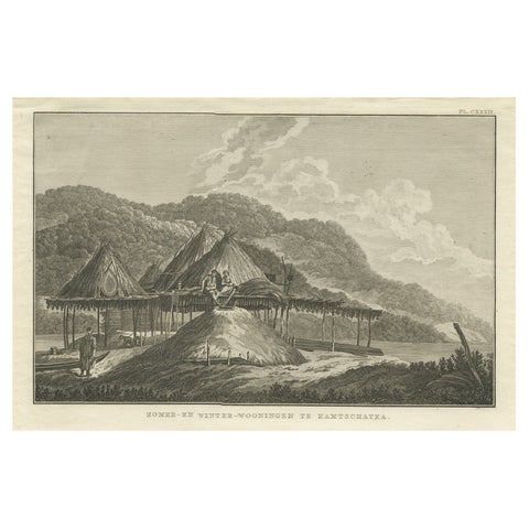
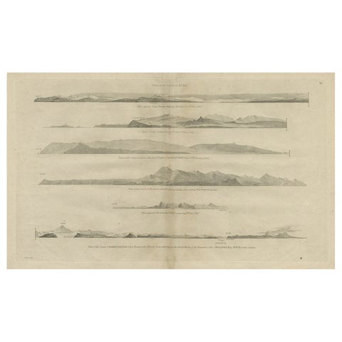
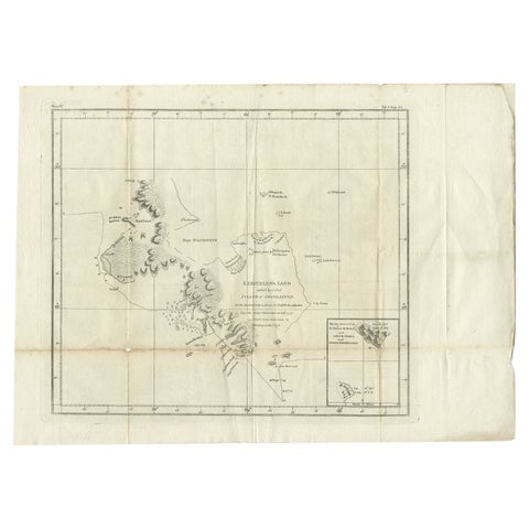
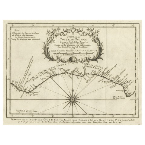
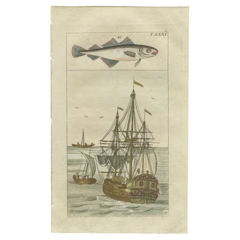
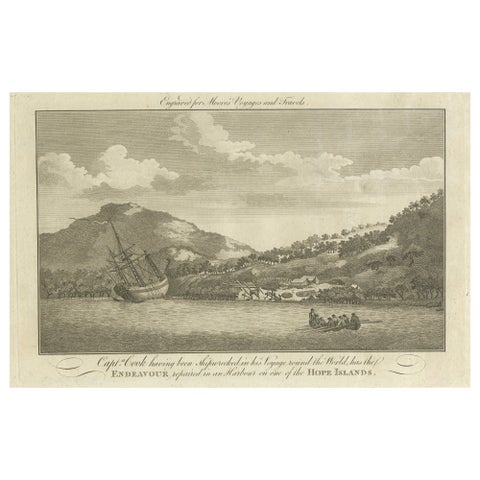
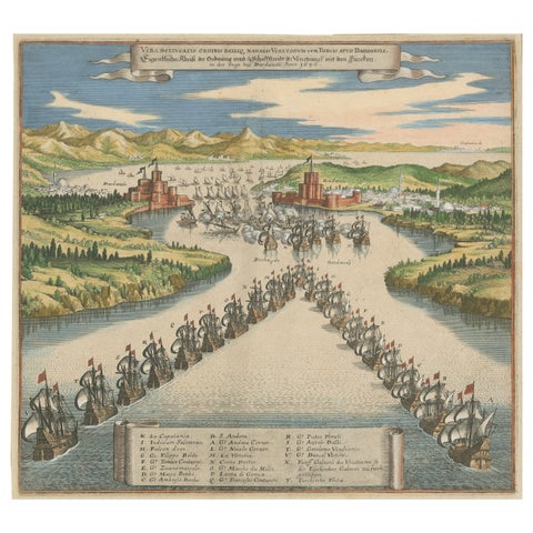
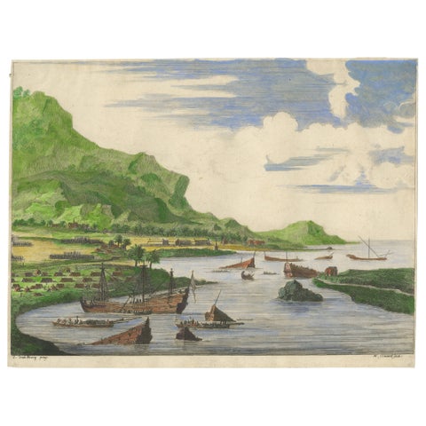
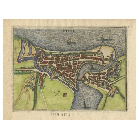
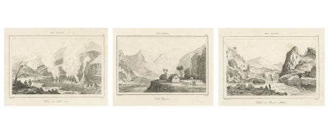
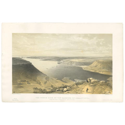
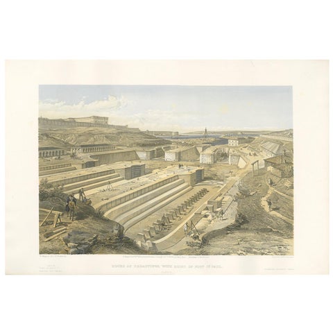
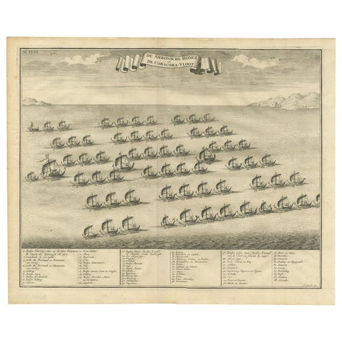
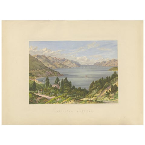
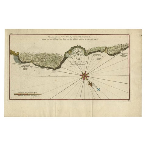
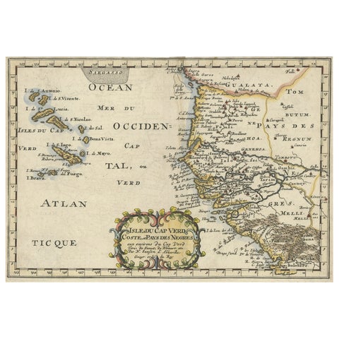
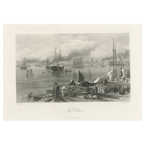
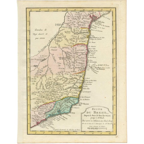
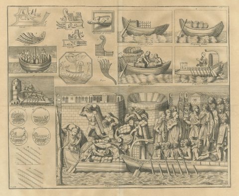
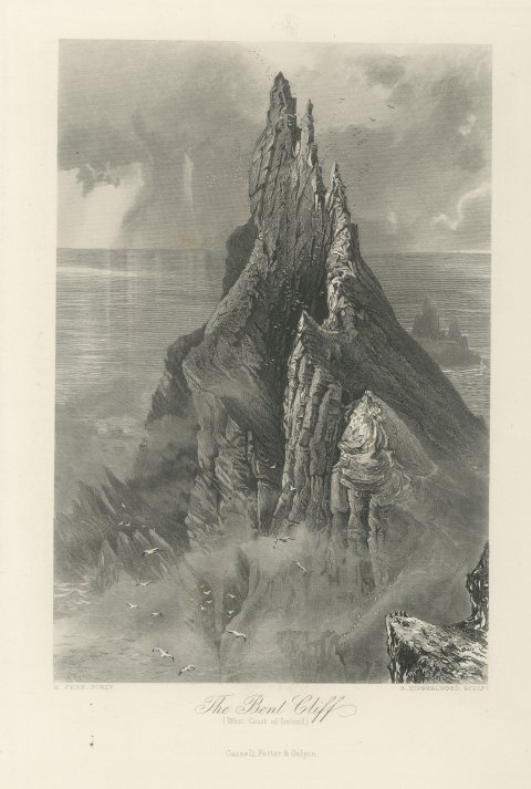
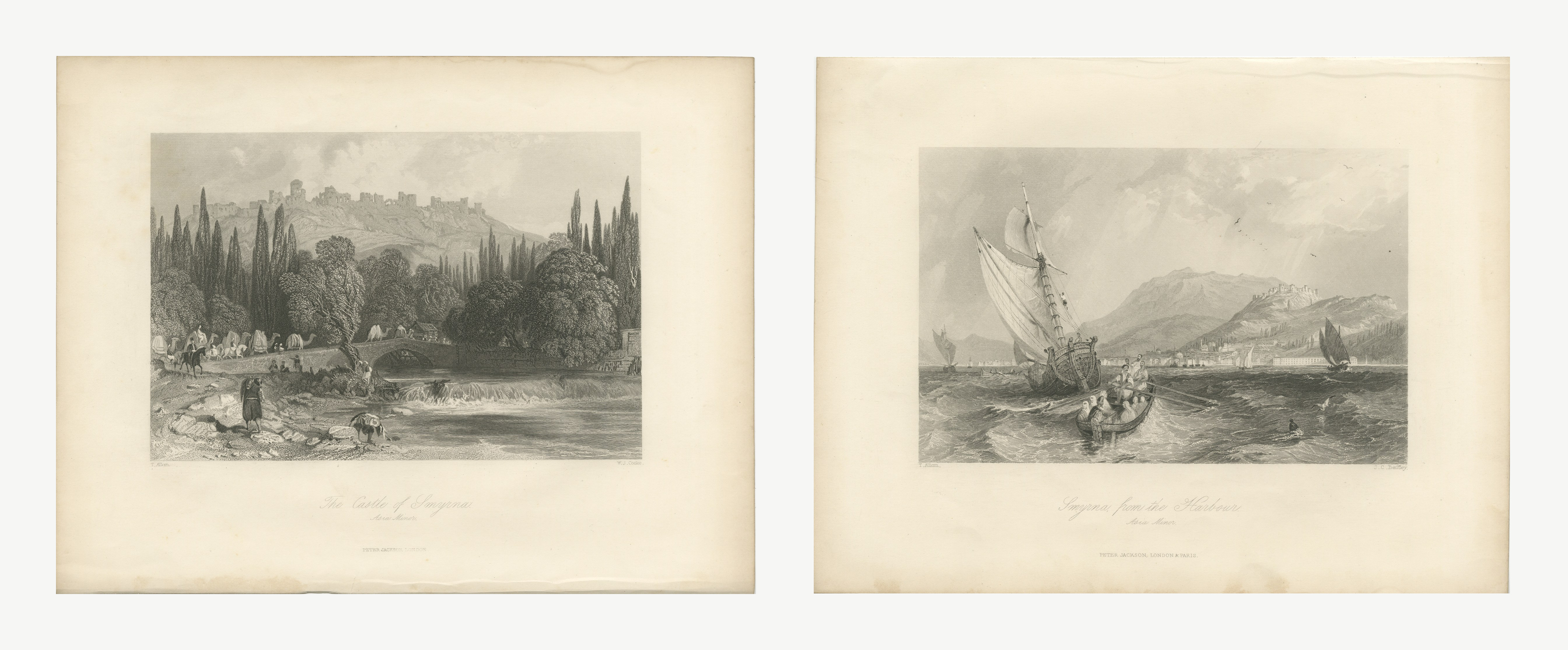
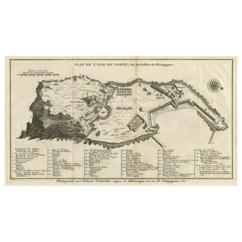
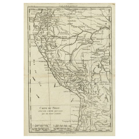
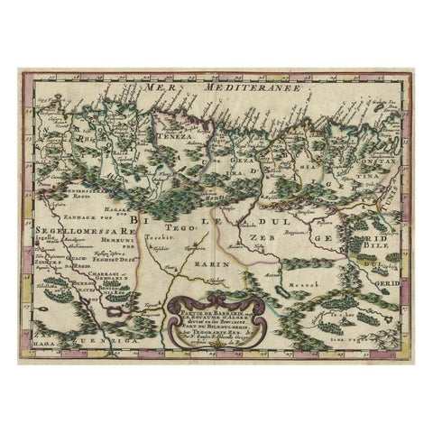
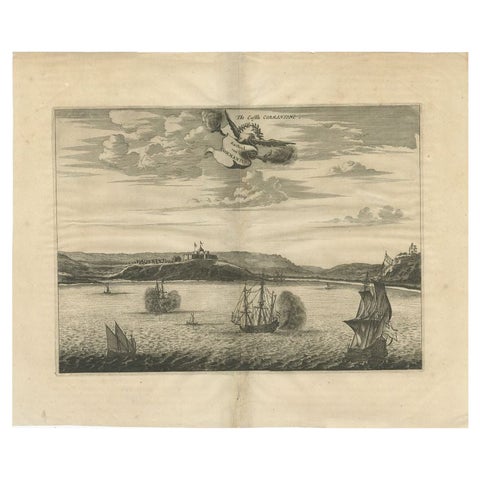
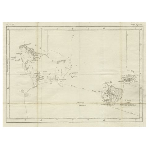
Antique Print of Kannur or Cananore with Ships, in Kerala, India, 1726Antique Print of Kannur or Cananore with Ships, in Kerala, India, 1726$420 $290 30% offAntique Print with Coastal Views of Islands Near The American Coast by CookAntique Print with Coastal Views of Islands Near The American Coast by Cook$420 $290 30% offAntique Print of the Coromandel Coast in India, 1726Antique Print of the Coromandel Coast in India, 1726$420 $290 30% offAntique Portrait of Fleet Admiral of George Byng, 1st Viscount Torrington, 1750Antique Portrait of Fleet Admiral of George Byng, 1st Viscount Torrington, 1750$420 $290 30% offSet of Three Dutch Naval Portraits – Tromp, Van Ghend, and Florisz, c.1700sSet of Three Dutch Naval Portraits – Tromp, Van Ghend, and Florisz, c.1700s$420 $290 30% offSet of Three Dutch Naval Portraits – Van der Hulst, Kallenberg & Sweers, c.1700Set of Three Dutch Naval Portraits – Van der Hulst, Kallenberg & Sweers, c.1700$420 $290 30% offSet of Three Dutch Naval Portraits – Kortenaer, Kallenberg, and Van Nes, c.1700sSet of Three Dutch Naval Portraits – Kortenaer, Kallenberg, and Van Nes, c.1700s$420 $290 30% offDutch Naval Leaders – Florisz, Sweers, and Van Nes, c.1750 Copper EngravingsDutch Naval Leaders – Florisz, Sweers, and Van Nes, c.1750 Copper Engravings$420 $290 30% offNaval Commanders of Zeeland – Gelein & Kornelis Evertsen, Adriaan Bankert, c1750Naval Commanders of Zeeland – Gelein & Kornelis Evertsen, Adriaan Bankert, c1750$420 $290 30% offAntique Map of the British Islands to the White Sea by J. ImrayAntique Map of the British Islands to the White Sea by J. Imray$505 $380 25% offAntique Print of the City and Port of Ptolemais in Phoenicia by A. Calmet, 1725Antique Print of the City and Port of Ptolemais in Phoenicia by A. Calmet, 1725$420 $290 30% offThe Fury of the Azores: Shipwreck Disaster at Terceira, Engraved in circa 1610The Fury of the Azores: Shipwreck Disaster at Terceira, Engraved in circa 1610$405 $285 30% offCapsizing Warships – Hand-Colored Etching of Schouten’s East Indian Voyage, 1676Capsizing Warships – Hand-Colored Etching of Schouten’s East Indian Voyage, 1676$405 $285 30% offGolfe de Mandaya Sea Chart by Joseph Roux, Ottoman Turkey, c.1764Golfe de Mandaya Sea Chart by Joseph Roux, Ottoman Turkey, c.1764$405 $285 30% offThe Great Harry, Ship of Henry VIII after Holbein, Antique Print, 1849The Great Harry, Ship of Henry VIII after Holbein, Antique Print, 1849$395 $275 30% offChile Coast Bay Map – Antique 1749 Chart by Anson from Voyage Around the WorldChile Coast Bay Map – Antique 1749 Chart by Anson from Voyage Around the World$395 $275 30% offAntique Map of the West African Coast and the Cape Verde Islands, c.1680Antique Map of the West African Coast and the Cape Verde Islands, c.1680$395 $275 30% offAntique Map of The Harbour of Acapulco in Mexico, 1749Antique Map of The Harbour of Acapulco in Mexico, 1749$395 $275 30% offOriginal Lithograph with a Scene of a Village and Harbour in New Guinea, c.1836Original Lithograph with a Scene of a Village and Harbour in New Guinea, c.1836$395 $275 30% offAntique Map of the Harbour of Tongatabu, One of the Tonga Islands, 1803Antique Map of the Harbour of Tongatabu, One of the Tonga Islands, 1803$395 $275 30% offCopperplate Engraving Showing Forts on the West African Gold Coast, Ghana, 1744Copperplate Engraving Showing Forts on the West African Gold Coast, Ghana, 1744$395 $275 30% offSummer & Winter Houses, Kamchatka – Cook Voyage Engraving c.1803Summer & Winter Houses, Kamchatka – Cook Voyage Engraving c.1803$395 $275 30% offAntique Print with Coastal Views of Asia by Cook, c.1784Antique Print with Coastal Views of Asia by Cook, c.1784$395 $275 30% offAntique Map of Kerguelens Island Coast by Cook, 1784Antique Map of Kerguelens Island Coast by Cook, 1784$395 $275 30% offAntique Map of the Coast of Guinea from, Cape Apollonia to the Volta RiverAntique Map of the Coast of Guinea from, Cape Apollonia to the Volta River$395 $275 30% offAntique Print of Cod and a Cod Fishing ShipAntique Print of Cod and a Cod Fishing Ship$395 $275 30% offRepairing the Endeavour: Captain Cook's Maritime Ordeal at Hope Islands, ca.1770Repairing the Endeavour: Captain Cook's Maritime Ordeal at Hope Islands, ca.1770$395 $275 30% offVenetian Fleet vs. Ottoman Turks – Dardanelles Naval Battle Engraving, 1656Venetian Fleet vs. Ottoman Turks – Dardanelles Naval Battle Engraving, 1656$595 $475 20% offCortés Scuttling Ships at Veracruz – Hand-Colored Engraving by Van Beecq, c.1690Cortés Scuttling Ships at Veracruz – Hand-Colored Engraving by Van Beecq, c.1690$395 $275 30% offDieppe – Antique Hand-Coloured French Coastal Town Engraving (1666)Dieppe – Antique Hand-Coloured French Coastal Town Engraving (1666)$395 $275 30% offHawaiian Volcanoes & Valleys – Antique Voyage Engravings, Renzi, Paris 1836Hawaiian Volcanoes & Valleys – Antique Voyage Engravings, Renzi, Paris 1836$395 $275 30% offAntique Print of the Harbour of Sebastopol 'Crimean War' by W. Simpson, 1855Antique Print of the Harbour of Sebastopol 'Crimean War' by W. Simpson, 1855$385 $270 30% offAntique Print of Docks at Sebastopol 'Crimean War' by W. Simpson, 1855Antique Print of Docks at Sebastopol 'Crimean War' by W. Simpson, 1855$385 $270 30% offAntique Print of the Hongi/Coracora Fleet by Valentijn '1726'Antique Print of the Hongi/Coracora Fleet by Valentijn '1726'$385 $270 30% offAntique Print of Lyttelton Harbour 'New Zealand' by Blatchley, circa 1877Antique Print of Lyttelton Harbour 'New Zealand' by Blatchley, circa 1877$385 $270 30% offJuan Fernandez Island Map – Antique Chilean Chart circa 1750Juan Fernandez Island Map – Antique Chilean Chart circa 1750$385 $270 30% offAntique Map of the Coast of Africa and the Cape Verde Islands, ca.1680Antique Map of the Coast of Africa and the Cape Verde Islands, ca.1680$385 $270 30% offNew Orleans Harbor, Mississippi River Shipping and Steamers – Engraving ca.1850New Orleans Harbor, Mississippi River Shipping and Steamers – Engraving ca.1850$385 $270 30% offAntique Map of the Brazilian Coast by A. Van KreveltAntique Map of the Brazilian Coast by A. Van Krevelt$385 $270 30% offRoman Ships, Prows, Coins and a Loading Scene from Trajan's Column, 1722Roman Ships, Prows, Coins and a Loading Scene from Trajan's Column, 1722$455 $345 25% offBent Cliff, West Coast of Ireland, Antique Engraving after H. Fenn, circa 1876Bent Cliff, West Coast of Ireland, Antique Engraving after H. Fenn, circa 1876$375 $260 30% offSmyrna from Castle and Harbor, Pair of Antique Allom Views, circa 1850Smyrna from Castle and Harbor, Pair of Antique Allom Views, circa 1850$375 $260 30% offDetailed Map of the Island of Gorée off of the Coast of Dakar, Senegal, 1747Detailed Map of the Island of Gorée off of the Coast of Dakar, Senegal, 1747$375 $260 30% offMap of the Western Coast of South America from Ecuador into Chili, ca.1780Map of the Western Coast of South America from Ecuador into Chili, ca.1780$375 $260 30% offCopper-Engraved Map Showing the Algerian Coast of North Africa, Published 1683Copper-Engraved Map Showing the Algerian Coast of North Africa, Published 1683$375 $260 30% offAntique Maritime Print with Various Vessels, circa 1860Antique Maritime Print with Various Vessels, circa 1860$375 $260 30% offAntique Print of a Fort on the Gold Coast of Africa by Dapper, c.1670Antique Print of a Fort on the Gold Coast of Africa by Dapper, c.1670$375 $260 30% offAntique Chart of the Friendly Islands or Nowadays Tonga, by Cook, 1784Antique Chart of the Friendly Islands or Nowadays Tonga, by Cook, 1784$375 $260 30% off

Your favorites

Saved in this browser. Email the list to yourself to keep it on any device.

We use your email to send this list and, only if you tick the box and confirm, for occasional new arrivals. Every email has an unsubscribe link. Bartele Gallery, the Netherlands.

Powered by SiteKeys