antiqueseacharts.com
✦
Black Friday Sale now on
Up to 30% off original antique maps and prints, until Monday 30 November
The terms
- Up to 30% off selected original antique maps and prints. Every piece is an original, printed in its own time; none is a reproduction.
- The sale runs until Monday 30 November. Prices revert on Tuesday 1 December.
- Free FedEx shipping on qualifying orders placed on our own websites: USA, Canada, UK and Europe over $500 / €450; rest of the world over $750 / €675. Smaller orders pay our normal shipping rate.
- Orders placed from 15 to 30 November ship from 1 December, in time for Christmas. Our shipping partner is InXpress.
- Each piece is unique, so the sale is while stock lasts.
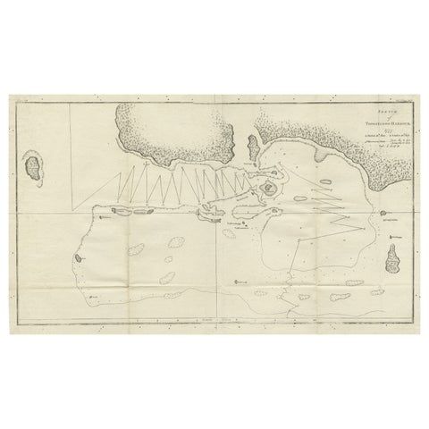 Antique Map of the Harbour of Tongatabu by Cook, C.1783
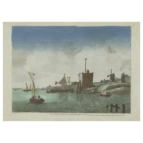 Original Hand-Colored Optica View of the Coast of Zeeland, The Netherlands
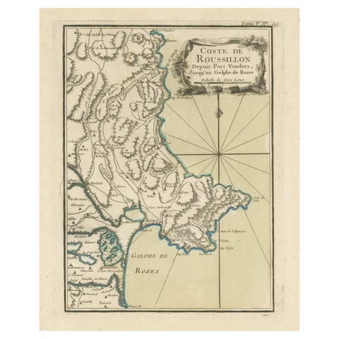 Antique Map of the Coast of Roussillon, France
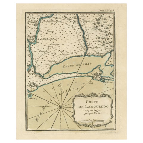 Antique Map of the Languedoc Coast between Agde and Sète 'Cette', France
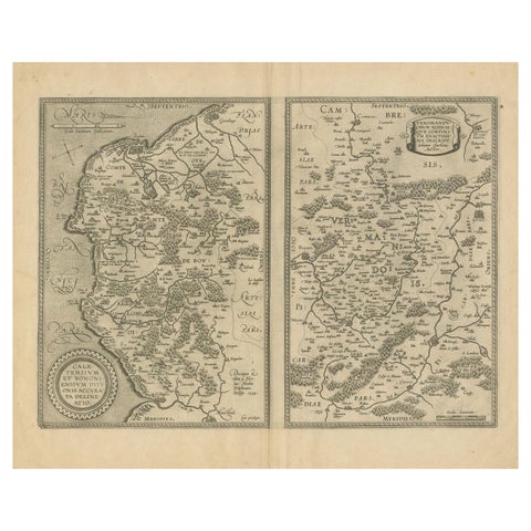 Antique Map of the Coastline Between Calais and Estaples and Northern France
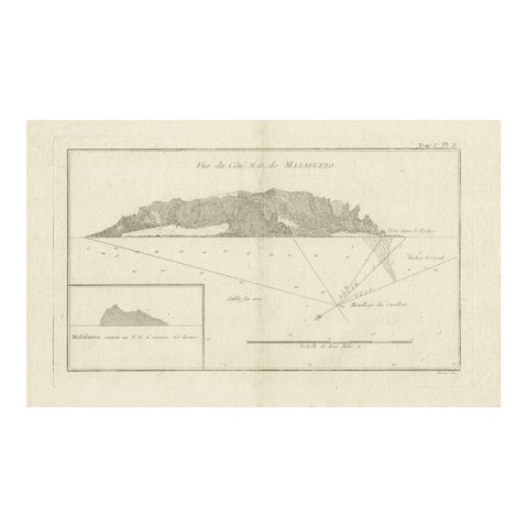 Antique Map of the Northwest Coast of Masafuera Island or Selkirk Island
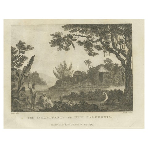 Serene Daily Life in New Caledonia: A Captured Moment from Cook's Voyages, 1784
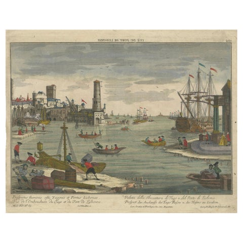 Lisbon Harbour View – Optical Print of Port and Tagus River c.1780
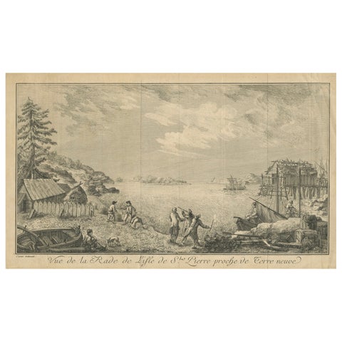 View of the Harbor of St Pierre, Newfoundland – Early French Coastal Engraving
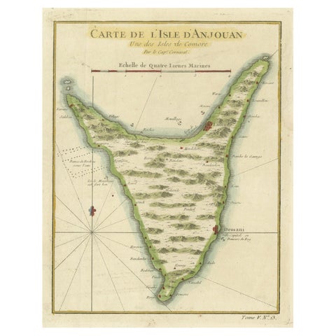 Anjouan Island, Comoros – French Naval Sea Chart by Bellin, c.1765
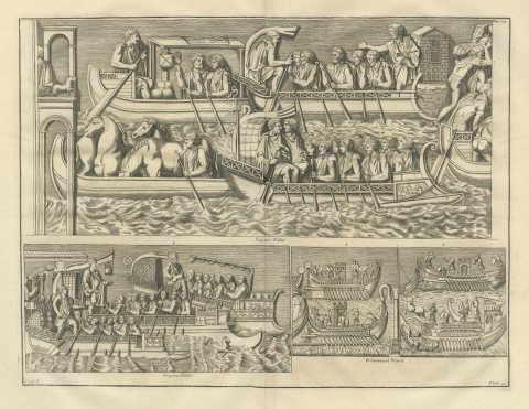 Oared Galleys and Horse Transports from Trajan's Column, 1722
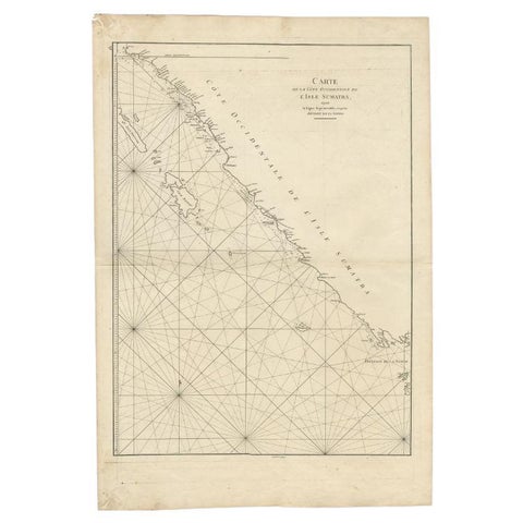 Antique Map of the South-Western Coast of Sumatra by De la Haye, c.1780
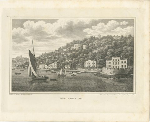 West Cowes from the Medina, Isle of Wight Yachting View by Brannon, 1829
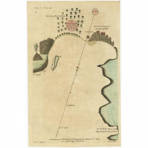 Antique Map of the Harbour of Praia, Santiago Island, Cape Verde, c.1750
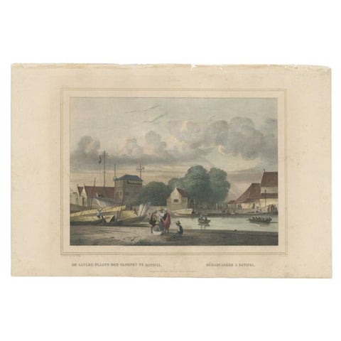 Antique Print of a Loading Dock in Batavia, Dutch East Indies, 1844
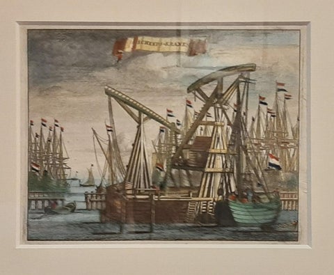 Antique Framed Print of the Ship Cranes of Amsterdam, The Netherlands, 1693
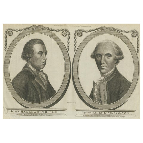 Engravings of Hawkesworth & Captain James King: Chroniclers of Capt. Cook, 1784
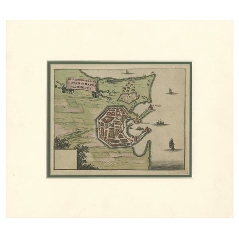 City and Harbour of Rhodes – Olfert Dapper, 1688 Hand-Coloured Engraving
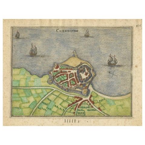 Cherbourg – Antique Hand-Coloured French Coastal Town Engraving (1666)
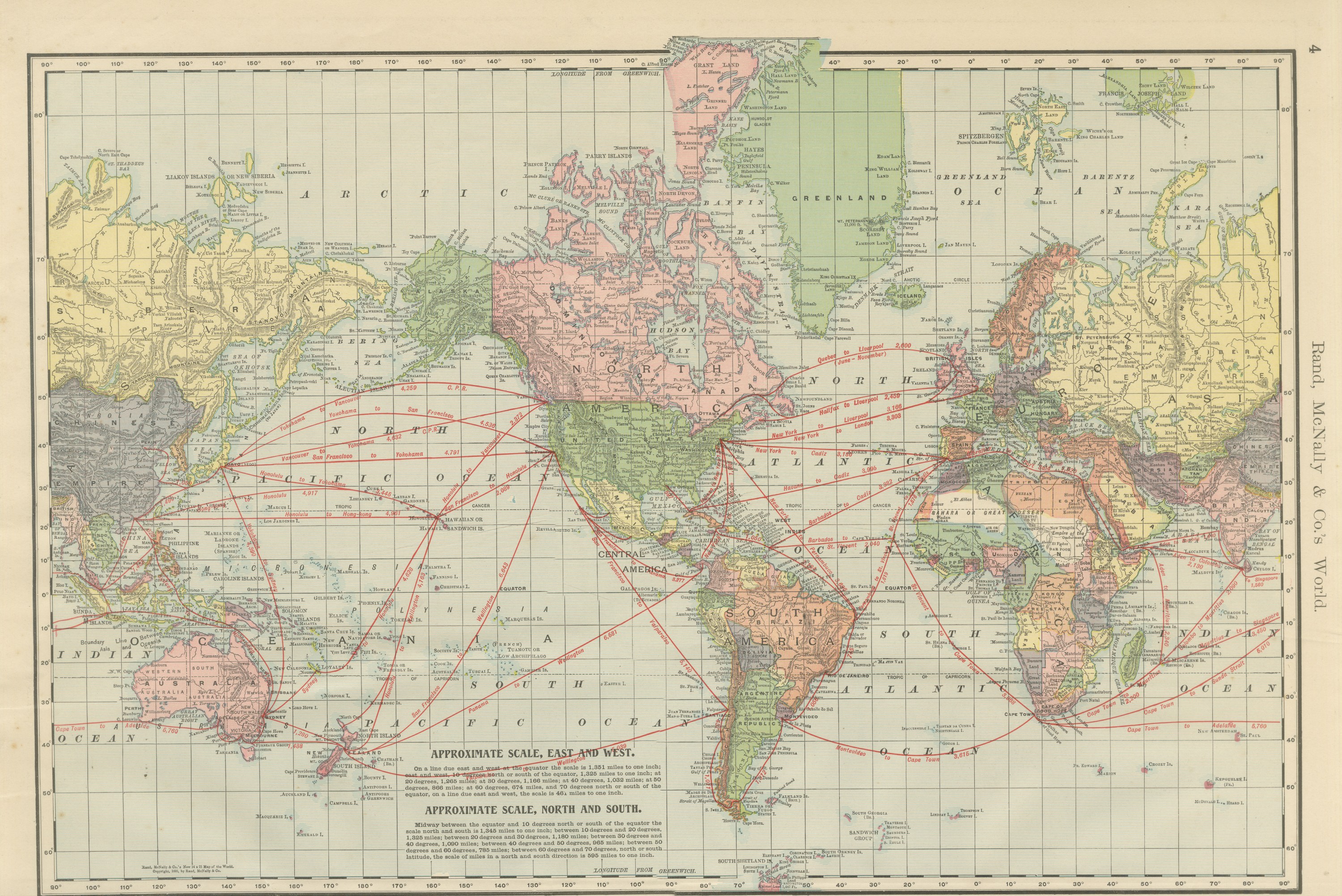 Antique Map of the World, with Steamship Routes, Rand McNally, 1899
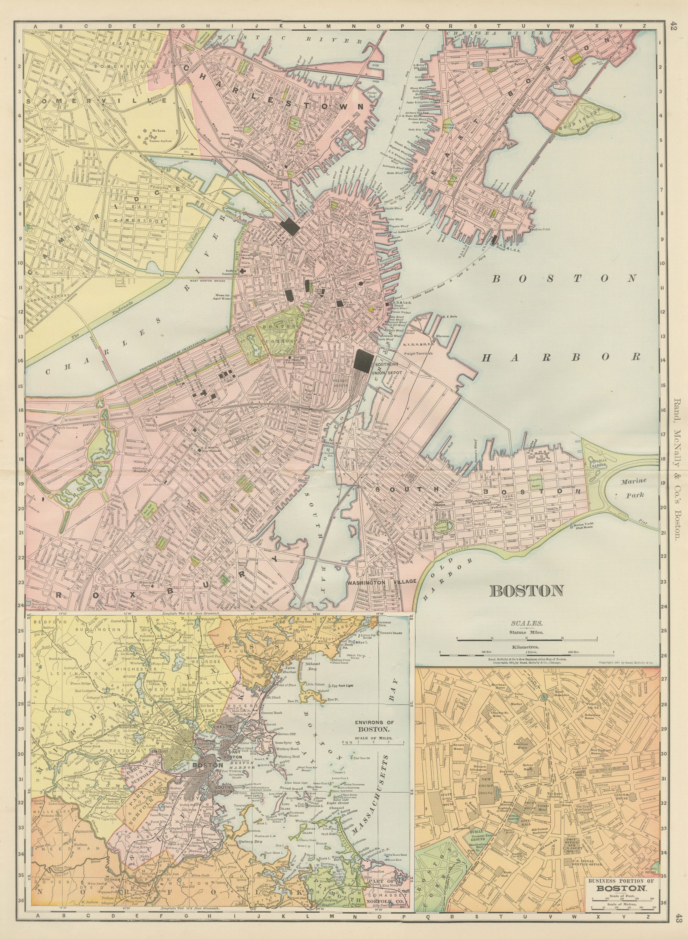 Antique Map of Boston, with Harbor and Environs Inset, Rand McNally, 1899
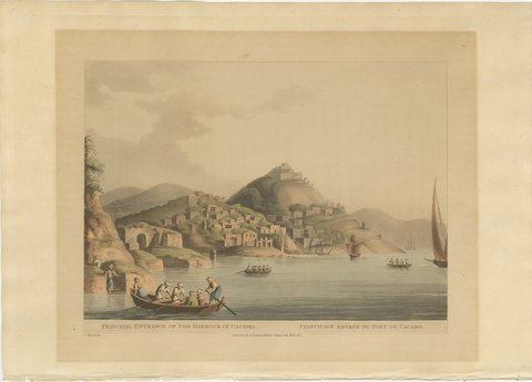 Entrance to the Harbor of Cacamo, Caramania, Antique Aquatint, 1803
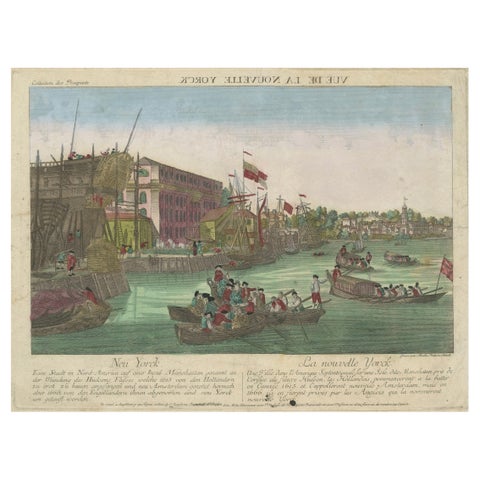 Optical View of New York City Manhattan Harbor Hand-Colored Augsburg - ca.1775
 Antique St Eustatius Caribbean View, Ships Harbor, Tournefort 1717
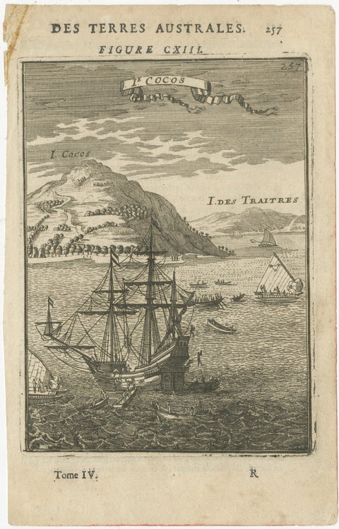 Antique Engraving Cocos Island, Maritime Scene, Manesson Mallet, 1683
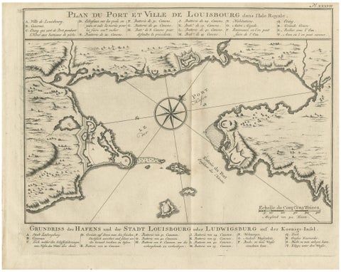 Plan of Louisbourg Harbor and Fortress, Cape Breton Island, c.1756
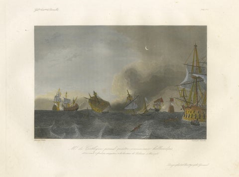 Coëtlogon Captures Four Dutch Warships off Lisbon, 1839
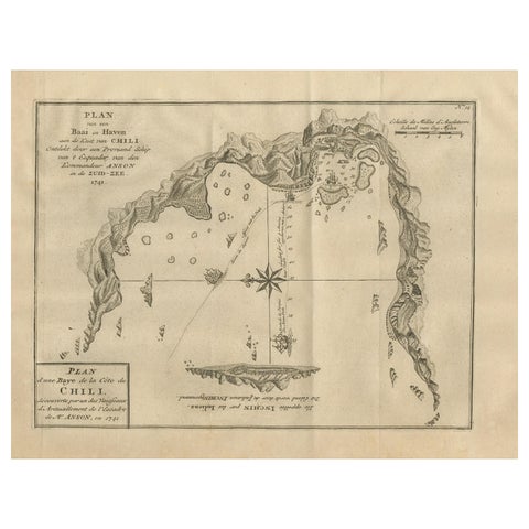 Antique Map of a Bay on the Coast of Chile, South America, c.1749
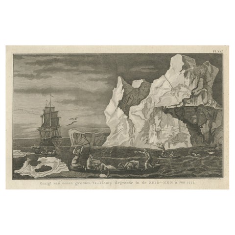 Old Print from Capt. Cooks Travels with Boats and a Ship in the South Sea, 1803
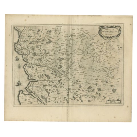 Antique Map of the Coast of Artois by Janssonius, 1657
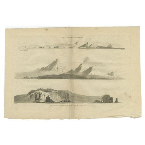 Antique Print with Coastal Views of Kamchatka in The Russian Far East, c.1784
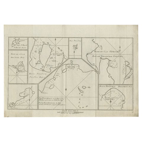 Antique Chart of CAP Providence and Other Charts by Hawkesworth, 1774
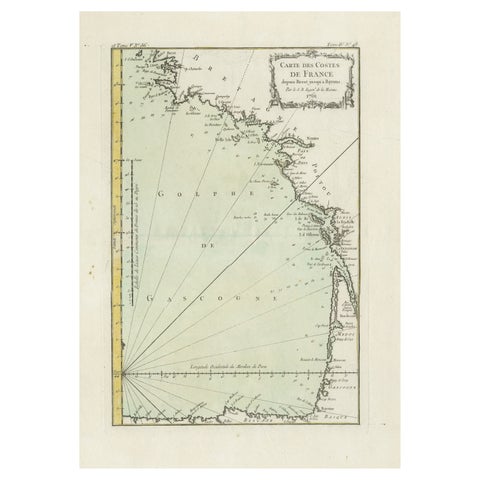 Antique Map of the Coast of France Between Brest and Bayonne
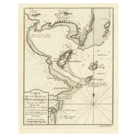 Mozambique Bay – French Naval Sea Chart by Bellin, c.1765
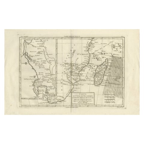 Mozambique Channel & Madagascar – Antique African Sea Chart, Bonne c1780
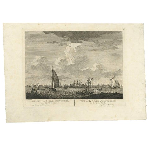 Antique Print with a View of Amsterdam from the IJ Dock by H. Schouten
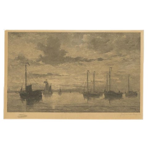 Antique Print of Ships After Mesdag, C.1900
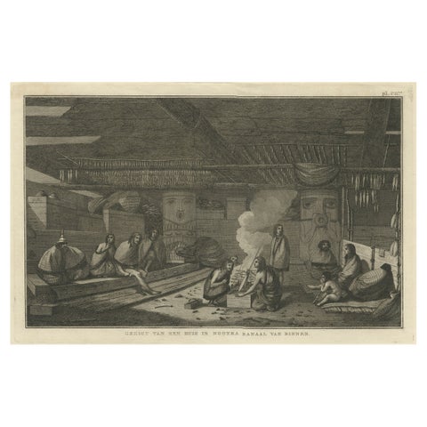 Interior of a Nootka House, Vancouver Island – Cook Voyage Engraving c.1795
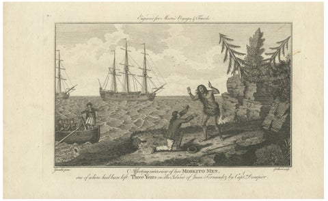 Moskito Men Reunion, Juan Fernandez Island – Dampier Voyage Engraving, ca.1789
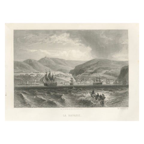 Rare Antique Engraving – Havana, Cuba, Harbor and City Landscape, 1867
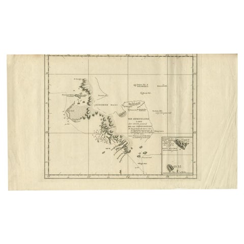 Antique Map of the Coast of Kerguelens Island by Cook, 1803
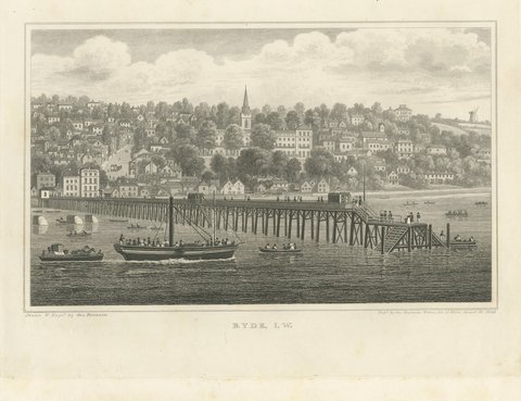 Paddle Steamer at Ryde Pier, England's First Pleasure Pier, Brannon, 1828
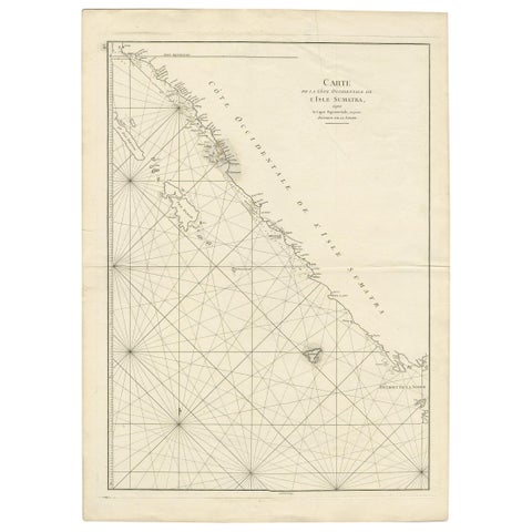 Antique Coastal Map of Sumatra by De La Haye, circa 1780
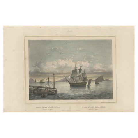 Old Print of Ships near Anyer & Krakatoa in the Sunda Straits, Indonesia, 1844
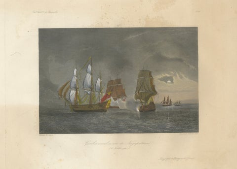 French-British Naval Battle of Negapatam, India, c.1840
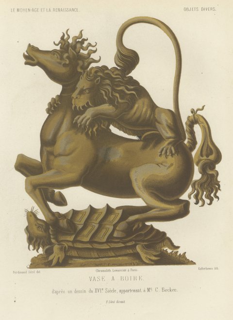 Lion and Horse Drinking Vessel after a Sixteenth Century Design, 1851
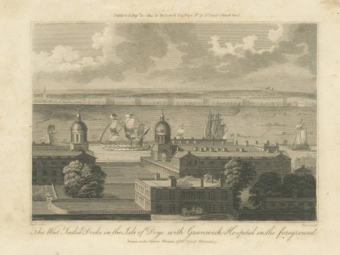 The West India Docks and Greenwich Hospital, London, 1804