antiqueseacharts.com
✦
Black Friday Sale now on
Up to 30% off original antique maps and prints, until Monday 30 November
The terms
- Up to 30% off selected original antique maps and prints. Every piece is an original, printed in its own time; none is a reproduction.
- The sale runs until Monday 30 November. Prices revert on Tuesday 1 December.
- Free FedEx shipping on qualifying orders placed on our own websites: USA, Canada, UK and Europe over $500 / €450; rest of the world over $750 / €675. Smaller orders pay our normal shipping rate.
- Orders placed from 15 to 30 November ship from 1 December, in time for Christmas. Our shipping partner is InXpress.
- Each piece is unique, so the sale is while stock lasts.
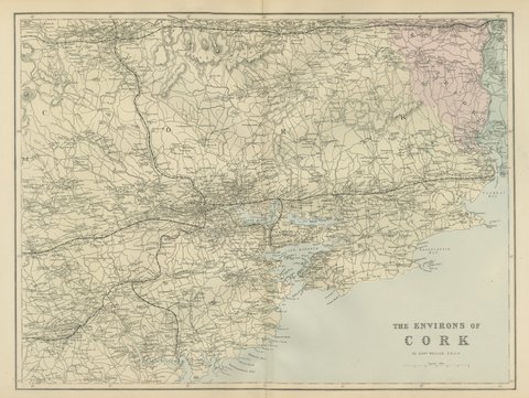 Antique Map of the Environs of Cork with its Harbor and Islands, 1885
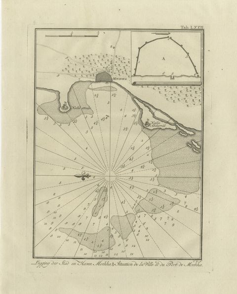 The Town and Port of Mocha in Yemen, Antique Niebuhr Chart, 1776
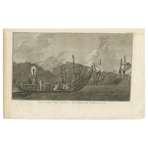 Antique Print of the Fleet of Proas of Tahiti by Cook, 1803
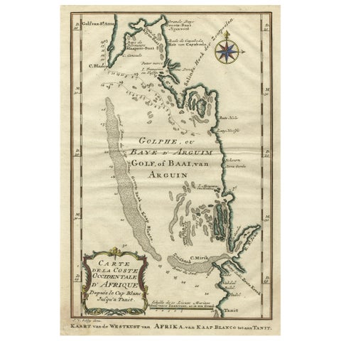 Bay of Arguin, West Coast of Africa from Cape Blanco to Tanit, Africa, 1747
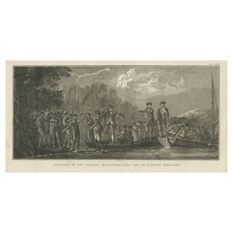 Antique Print of the Landing at Malakula Island, Vanuatu, by Cook, 1803
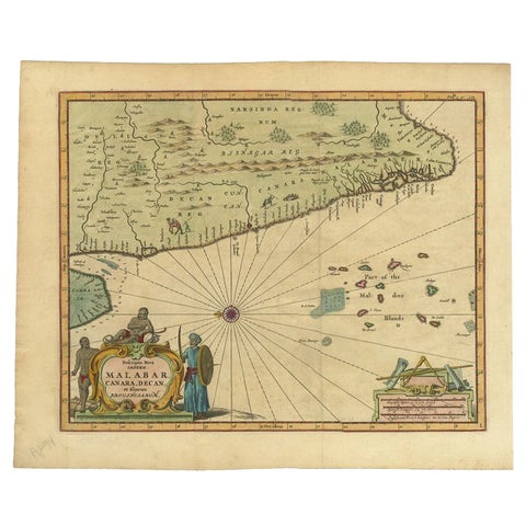 Antique Map of the Malabar Coast by Baldaeus, 1744
 Antique Maritime Print with Ships in the View of a Harbour, circa 1860
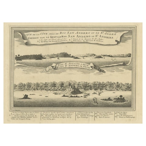 Antique Print of a Fort on the Ivory Coast and Axim, Africa, 1748
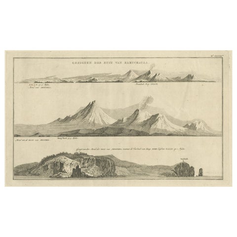 Antique Print with Coastal Views of Kamchatka in Russia by Cook, 1803
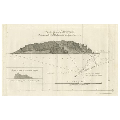 Old Print of the North-West Coast of Masafuero or Alejandro Selkirk Island, 1774
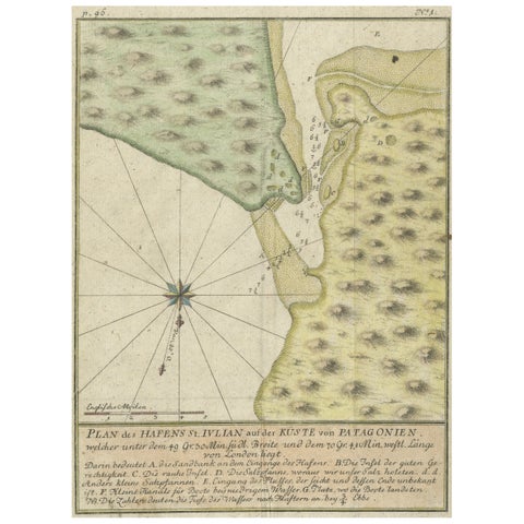 Antique Plan of Plan of St. Julian's Harbour on the Coast of Patagonia
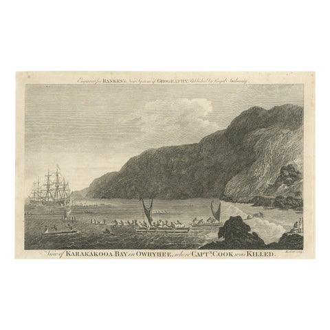 Final Voyage: The Death of Captain Cook at Kealakekua Bay, Hawaii, 1779
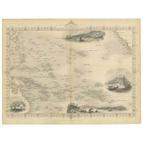 Map of Polynesia Highlighting Cultural Landscapes and Maritime Activities, 1851
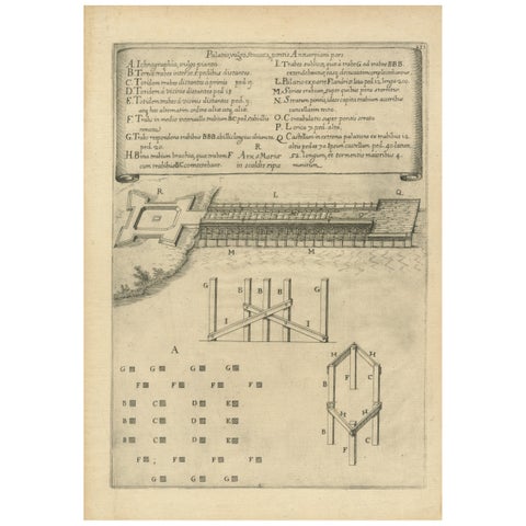 Duke of Parma’s 1585 Ship Bridge Plan: Siege of Antwerp Engineering Print
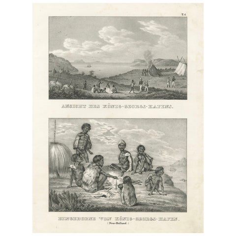 Scenes from King George's Harbour, New Holland (modern-day Australia), 1836
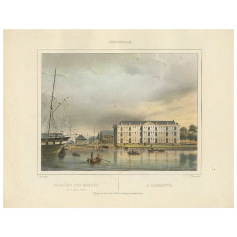 Antique View of Amsterdam Naval Arsenal, Hand-Colored Lithograph c.1850
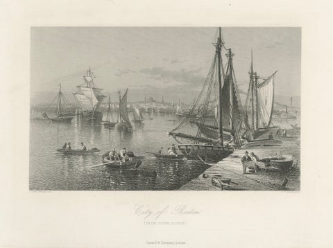 City of Boston, Harbor View from South Boston – Antique Maritime Engraving, 1870
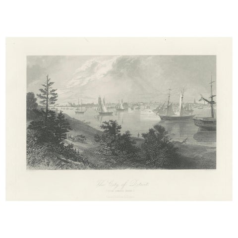 The City of Detroit, View from Canadian Shore – Antique Harbor Engraving, c.1872
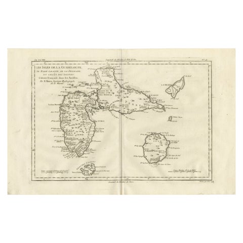 Antique Map Guadeloupe & Marie Galante, Rigobert Bonne Caribbean Chart c1780
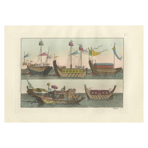 Chinese Boats and River Vessels, Hand-Coloured Ferrario Engraving, 1815
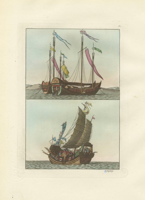 Chinese Junks and Sailing Vessels – Ferrario Il Costume Antico e Moderno, 1815
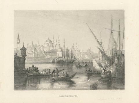 Constantinople Harbor View with Ottoman Boats by Rouargue Frères, c.1860
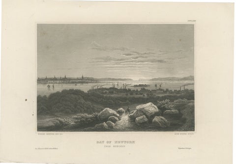 Bay of New York from Hoboken – Antique New York Harbor Engraving, c.1850
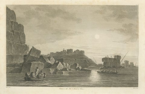 Entrance to the Mole and Island of Tortosa, Antique Engraving, 1797
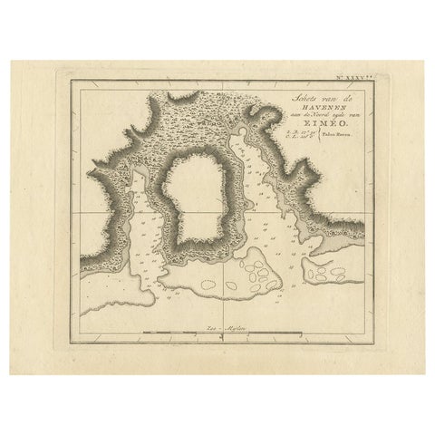 Antique Map of the Harbour of Taloo by J. Cook, 1803
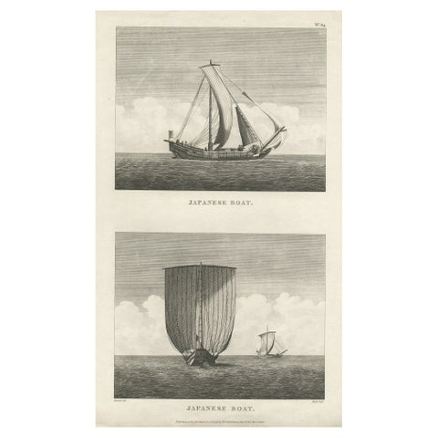 Antique Print of Two Japanese Vessels, 1799
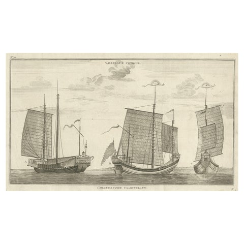 Antique Original Engraving of Chinese Vessels in the 18th Century, 1765
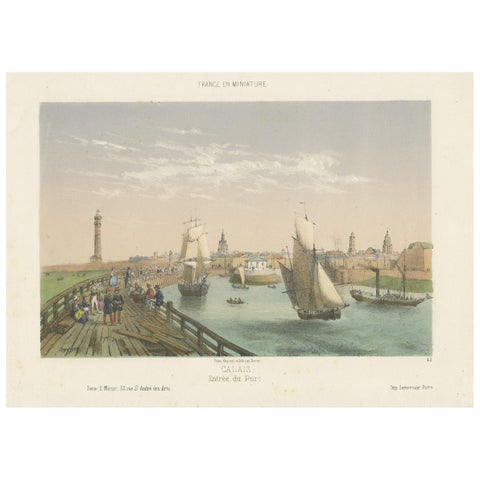 Original Antique Print of the Port of Calais, France, ca.1860
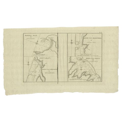 Antique Map of the Harbors of Matavai by Cook, 1803
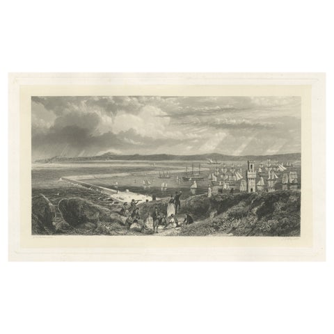 Old Decorative Maritime Print of Ships in an Harbour, Possibly England, C.1860
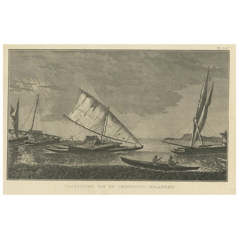 Antique Print of Boats of the Friendly Islands or Tonga, by Cook, c.1801
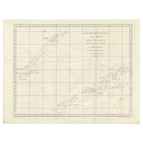 Antique Chart of the Voyage of Captain Cook by Benard, 1780
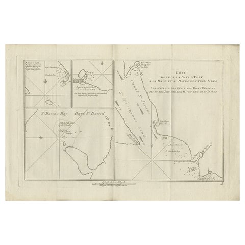 Antique Chart of York's Bay and Surroundings by Hawkesworth, 1774
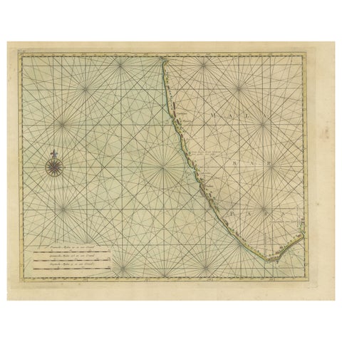 Antique Print of the Malabar Coast of India showing the VOC establishments, 1726
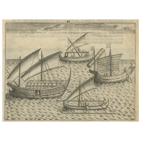 Javanese and Malay Ships near Bantam, from Pontanus’ Amsterdam History, 1611
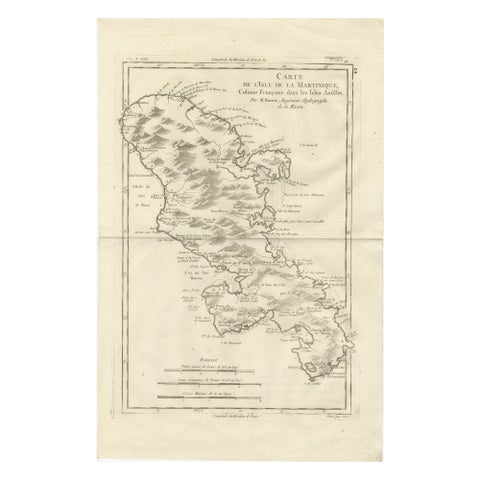 Antique Map Martinique Caribbean Island Chart, Rigobert Bonne French Map, c.1780
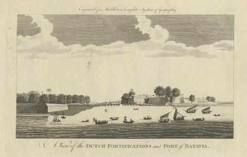 Antique View of Batavia Port Jakarta – Dutch VOC Fortifications 1778
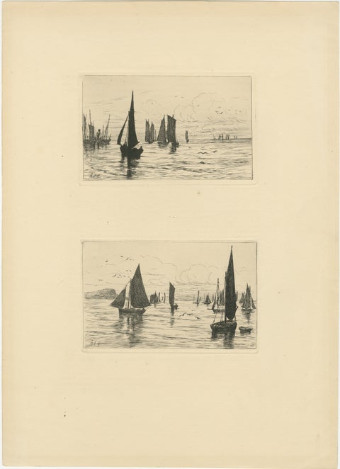 George S. Ferrier, Maritime Etchings – Fishing Boats, 1879 Set
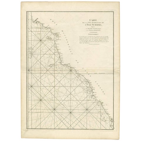 1745 Antique Coastal Map of West Sumatra by J. Mannevillette
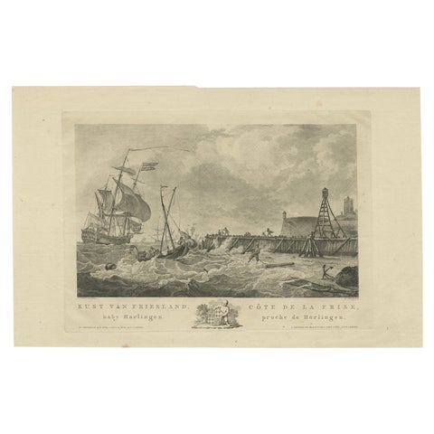 Antique Print of the Coast of Harlingen, Harbour in Friesland, circa 1780
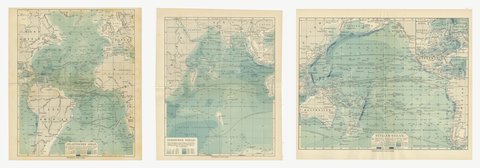 Antique Depth Charts of the Three Great Oceans, Set of Three, 1916
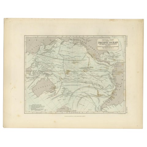 Antique Physical Chart of the Pacific Ocean by Johnston, '1850'
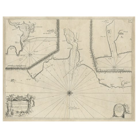 Antique Chart of Dundee, Aberdeen and Montrose in Scotland, C.1774
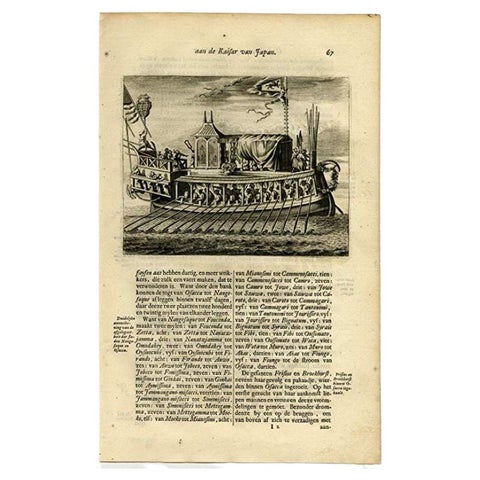 Antique Print of a Japanese Pleasure or Galley Yacht (1669)
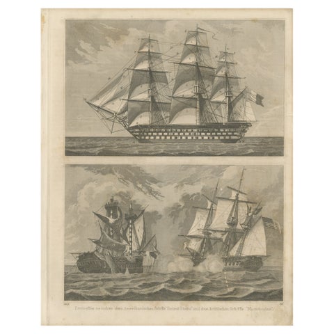 Antique Sea Battle Print Between an American and a British Ship, 1847
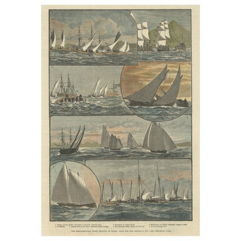 Antique Print of The Sailing Race for the Admiral's Cup at Palma, 1881
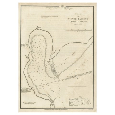 Map of Winter Harbour on Melville Island, Australia by Parry's Expedition, 1821
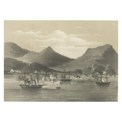 Old Military Scene of Dutch Ships Bombing Atchin in Sumatra, Indonesia, 1784