1700 to 1789: Age of discovery
Sea charts and maritime prints printed between 1700 and 1789, the age of discovery. Every one a period original.
204 pieces
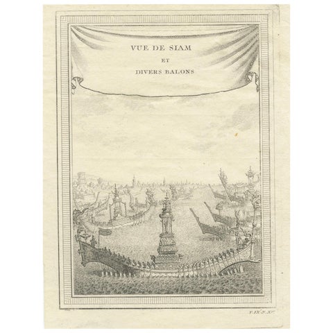
Antique Copperplate Print of Ayutthaya, 'View of Siam and Various Boats', 1751
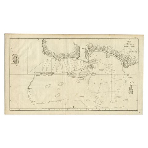
Antique Map of the Northern Coast of Tongatapu by Benard, c.1785
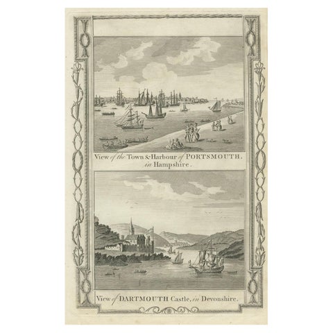
1784 View Of Portsmouth Harbour And Dartmouth Castle By Walpoole
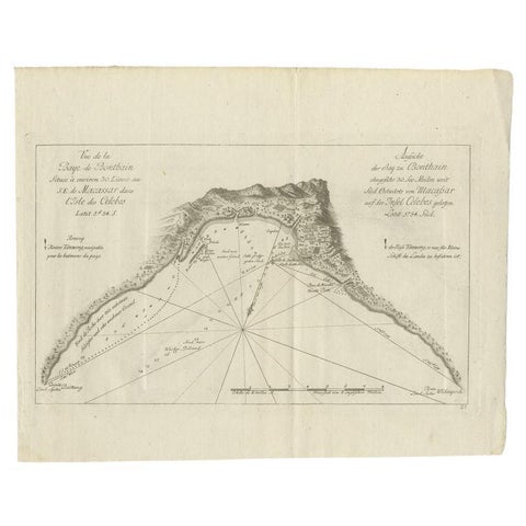
Antique Map of a Bay Nearby Makassar, Celebes 'Sulawesi)' by Hawkesworth, 1774
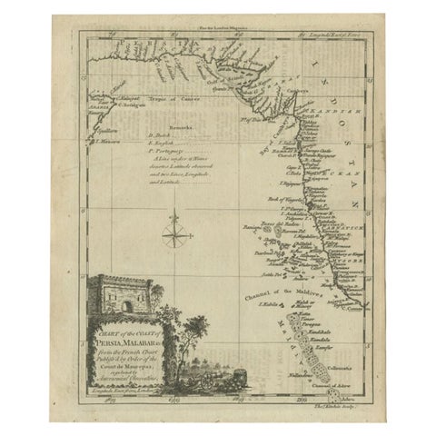
Antique Map of the Coast of Southwest Asia by Kitchin, c.1770
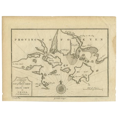
Antique Map of the Bay of Cordes and Surroundings by Hawkesworth, 1774
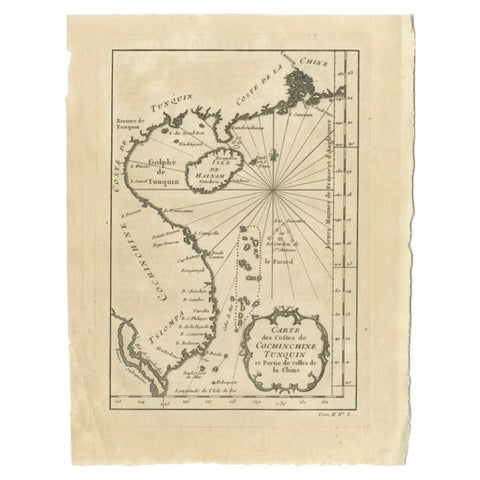
Antique Map of the Coast of China by Bellin, 1752
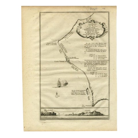
The Cape Verde Islands Coast Antique Engraving by Van Schley, 1747
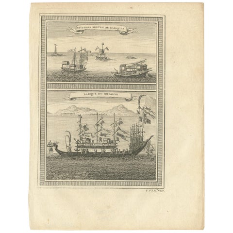
Antique Print of Chinese Vessels, 1748
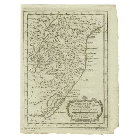
Antique Map of the Coast of Southern Brazil by Bellin, c.1755
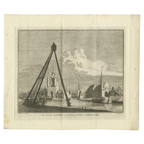
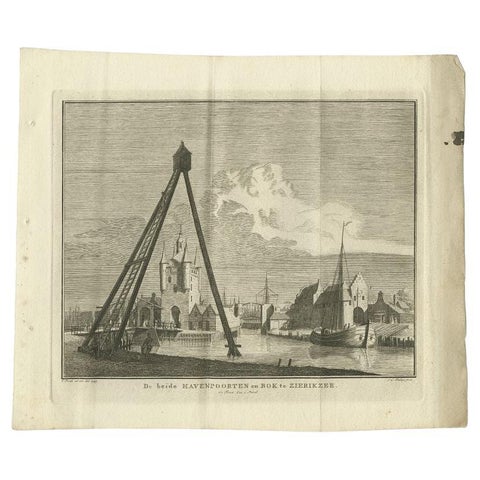
Antique Print of the Port of Zierikzee by Tirion, 1751