Close-ups
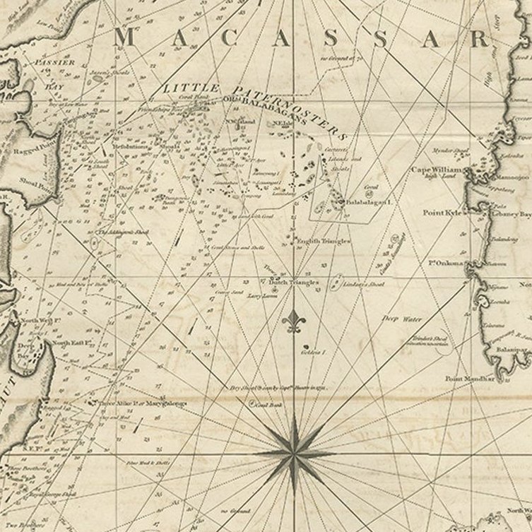
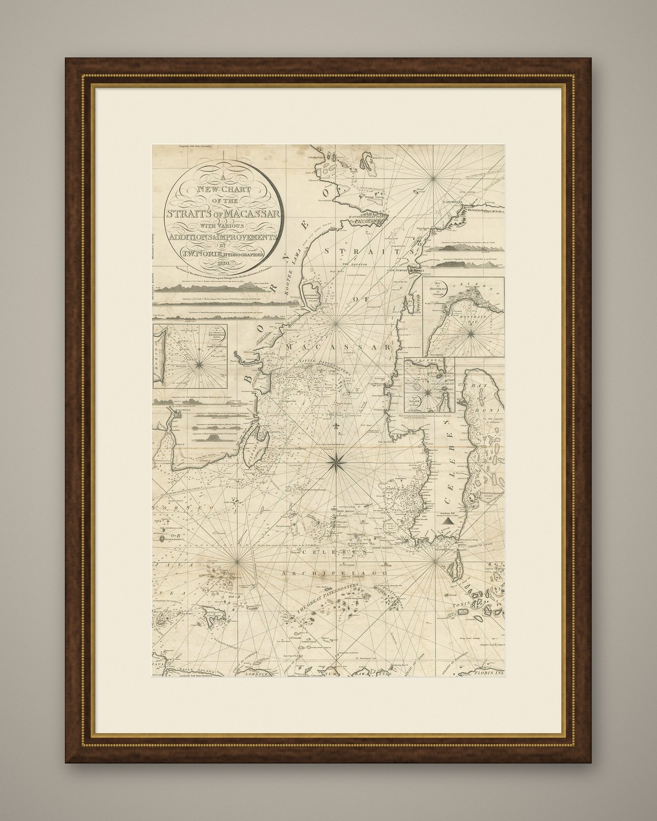
Framed and on the wall
Frame and rooms are illustrations of how the piece could look; it is sold unframed unless the description says otherwise.
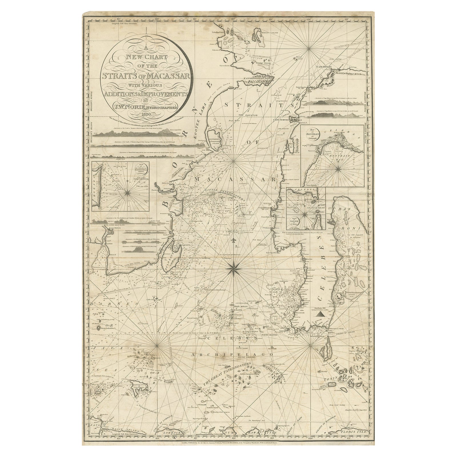
Antique Map of Straits of Makassar by J.W. Norie, Engraved Chart, 1820
$3,080
€2,750 · £2,330
Original print, not a reproduction.
Ships worldwide from the Netherlands, flat, insured and tracked. 14-day returns. To buy, use Ask a question and we will reserve it for you.
- Date
- 1820
- Sheet size
- 37.8 × 26 in (96 × 66 cm)
- Condition
- Good. Good, general age-related toning and some foxing. Minor wear and small defects. Blank verso, please study image carefully.
- Collection
- Sea charts
- Era
- 1790 to 1849, Age of sail
- Stock no.
- f_26498512
Description: Antique map titled 'A New Chart of the Straits of Macassar with various additions & improvements by J.W. Norie'.
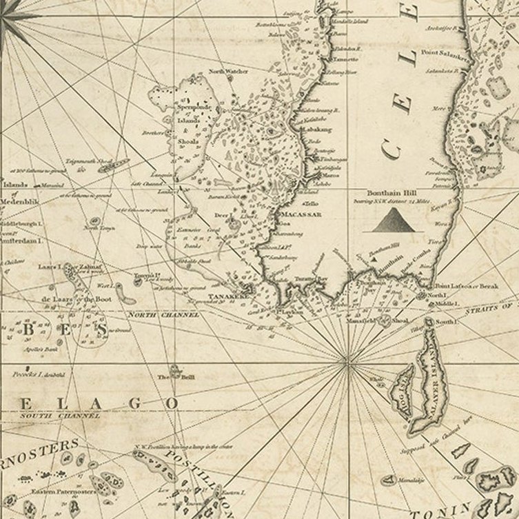
Rare and beautifully engraved chart of the Straits of Makassar showing Eastern Borneo and Celebes coast lines. With various smaller inset maps including a plan of the shoals off ragged and shoal points in Borneo, the Bay of Bonthain and the Straits of Salayr.
Artists and Engravers: John William Norie (1772-1843), acquired the chart publishing business of William Heather after he died in 1812. He went into partnership with George Wilson (1753-1831). Norie became a prolific hydrographer, chart publisher and author of navigation textbooks and pilots (sailing directions). The first catalogue of "J.W. Norie & Co. (Successors to the late William Heather) Chartsellers to the Admiralty, and the Honourable East India Company" lists 143 charts, of which 27 cover Eastern Navigation. Cape of Good Hope, Isle of France, Indian Ocean, Bay of Bengal, East Indies, China, New Holland &c." These include (as no. 132) The Straits of Malacca and Sincapore (sic) with separate Plans of Cornwallis Roads at Prince of Wales's Island, Bass Harbour, and the Straits of Sincapore, priced at 7s 6d.
Condition:
Good, general age-related toning and some foxing. Minor wear and small defects. Blank verso, please study image carefully.