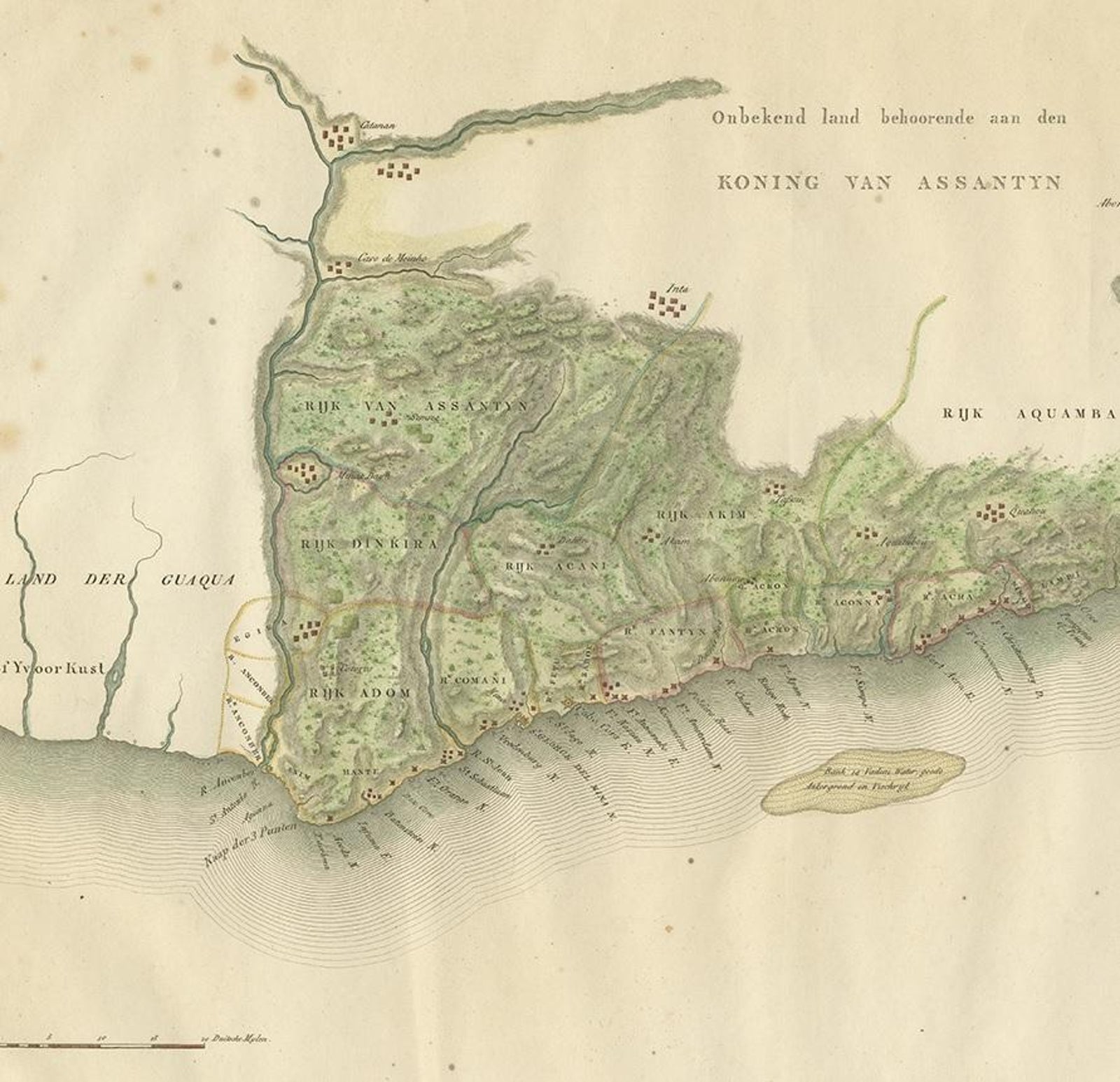
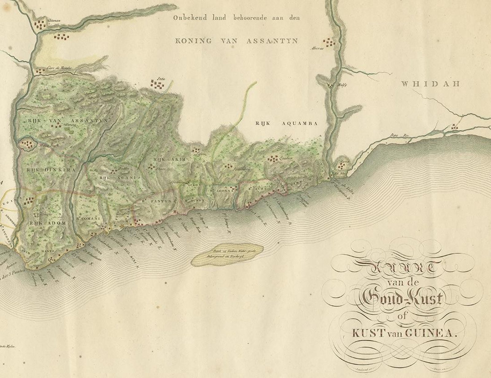
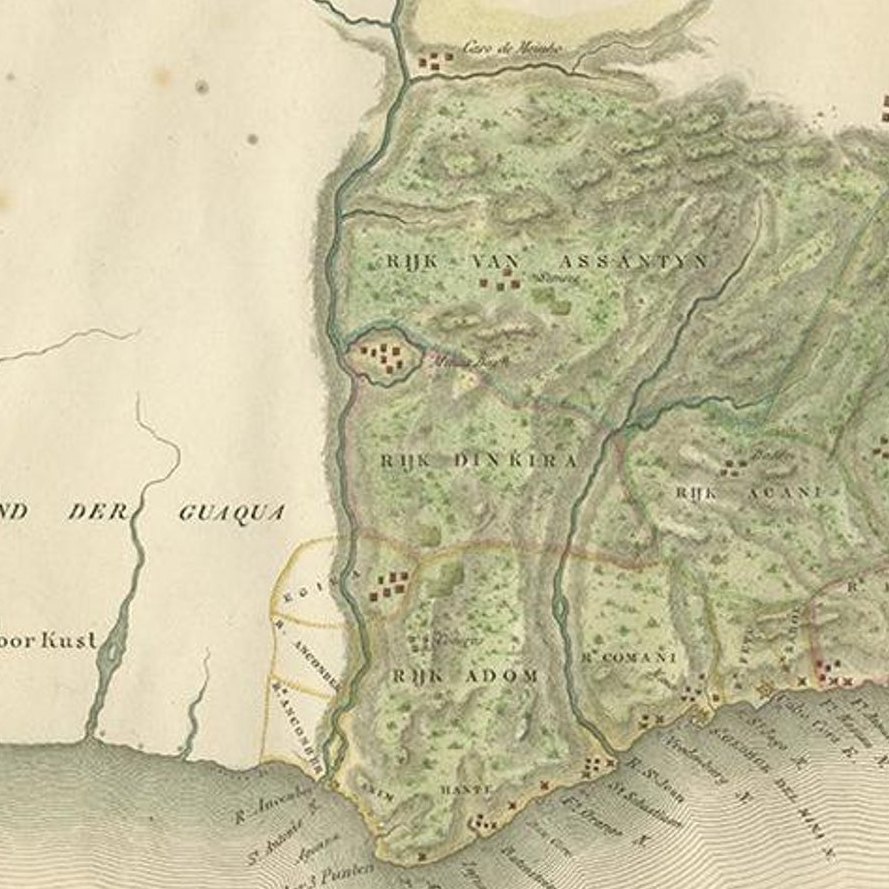
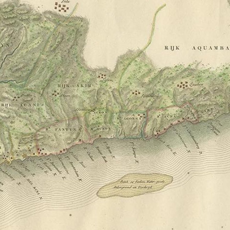
Close-ups
Framed and on the wall
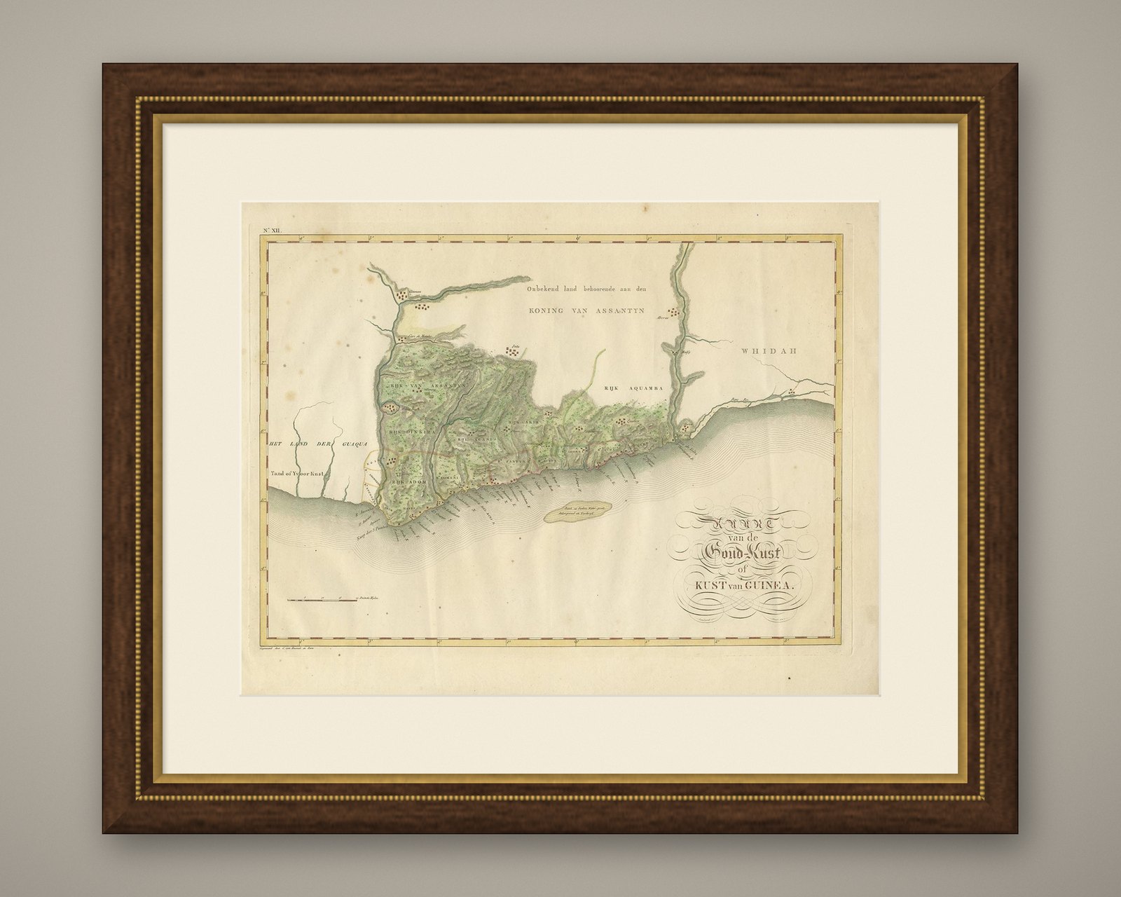
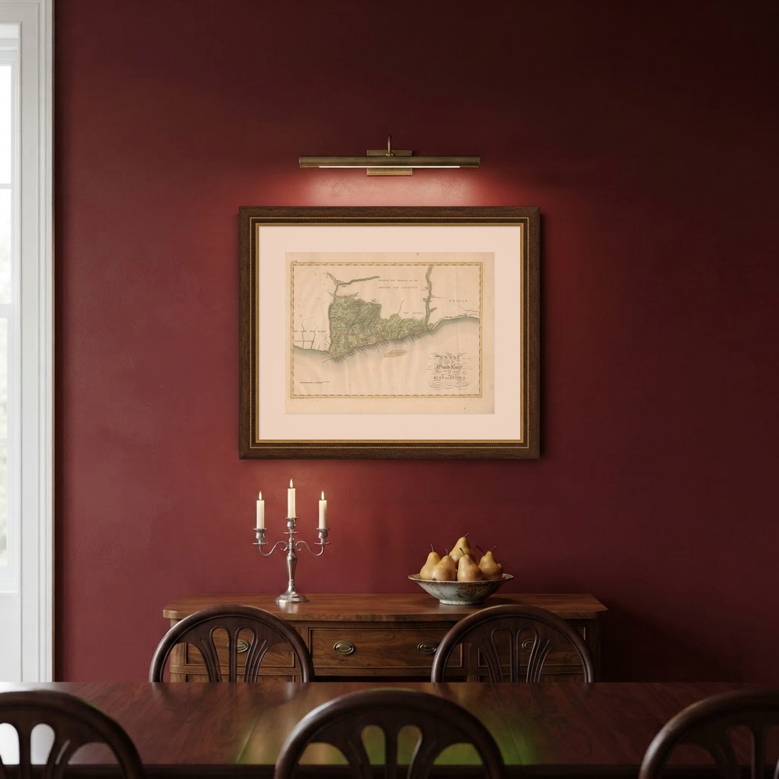

Frame and rooms are illustrations of how the piece could look; it is sold unframed unless the description says otherwise.
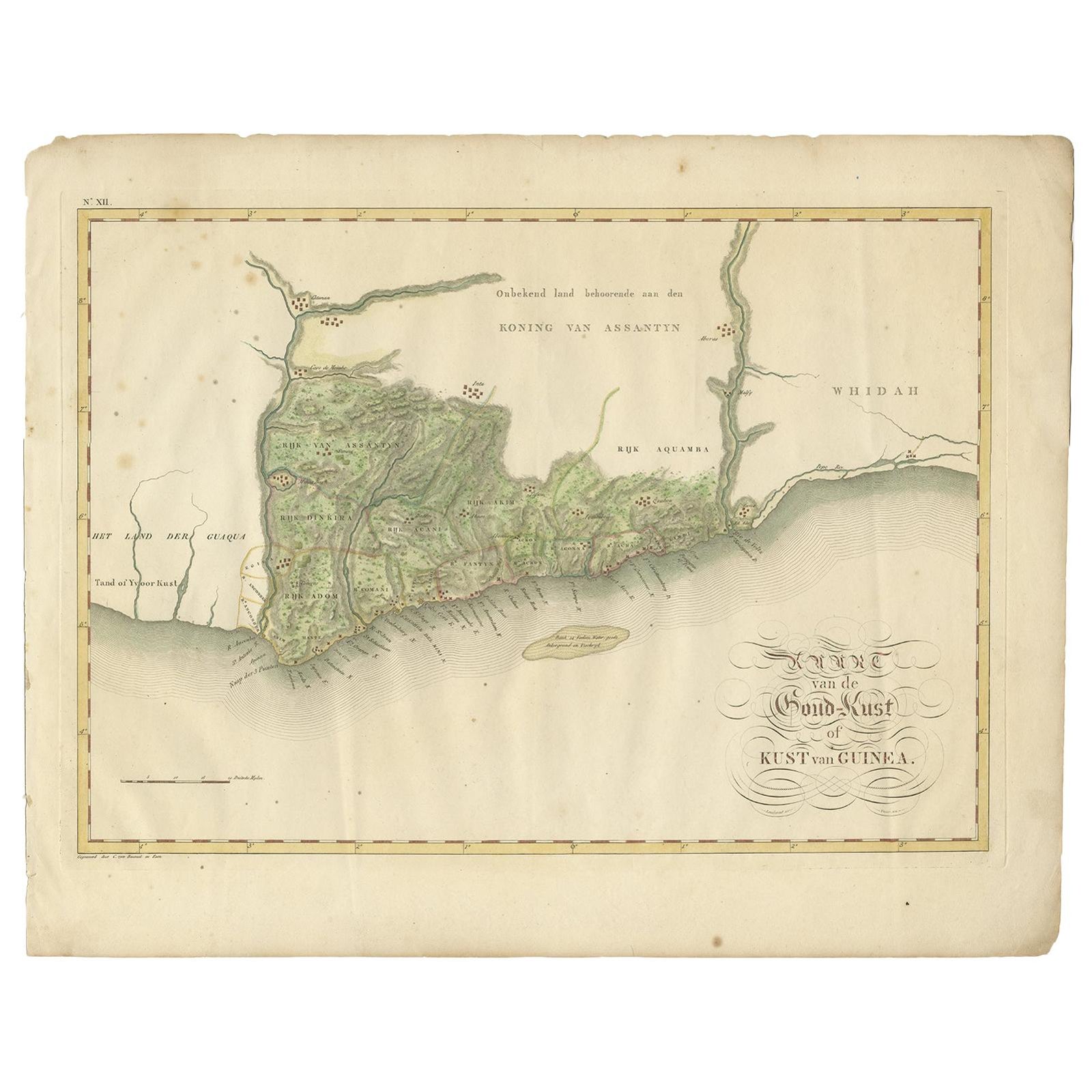
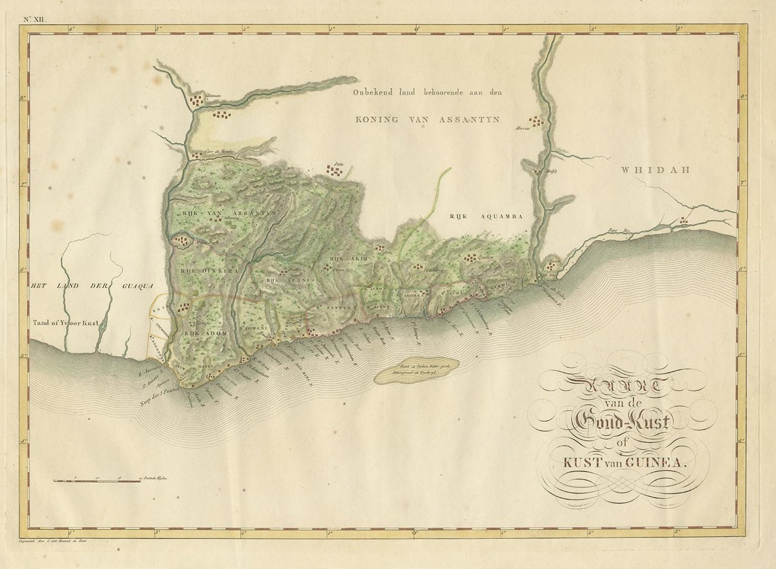
Antique Map of the Dutch Gold Coast in Africa by Van den Bosch '1818'
€1,095
$1,225 · £930
Original print, not a reproduction.
Ships worldwide from the Netherlands, flat, insured and tracked. 14-day returns. To buy, use Ask a question and we will reserve it for you.
- Date
- 1818
- Sheet size
- 18.1 × 22.8 in (46 × 58 cm)
- Condition
- Good. General age-related toning. Some wear and marginal tears. Please study images carefully.
- Collection
- Sea charts
- Era
- 1790 to 1849, Age of sail
- Stock no.
- f_16542372
Antique map titled 'Kaart van de Goud-Kust of Kust van Guina'. A rare and attractive early 19th century Dutch map of the Dutch Gold Coast. The Dutch Gold Coast or Dutch Guinea, was a portion of contemporary Ghana that was gradually colonized by the Dutch, beginning in 1598. The colony became the most important Dutch colony in West Africa after Fort Elmina was captured from the Portuguese in 1637, but fell into disarray after the abolition of the slave trade in the early 19th century. On 6 April 1872, the Dutch Gold Coast was, in accordance with the Anglo-Dutch Treaties of 1870–71, ceremonially ceded to the United Kingdom.
One of 12 maps from 'Atlas van Overzeesche bezittingen' (Atlas of Oversea Possessions) by J.S. van den Bosch. J.S. van den Bosch (1780, 1844), Major General, Knight of the 3rd Class of the Military William Order.
EXPLORE