Close-ups
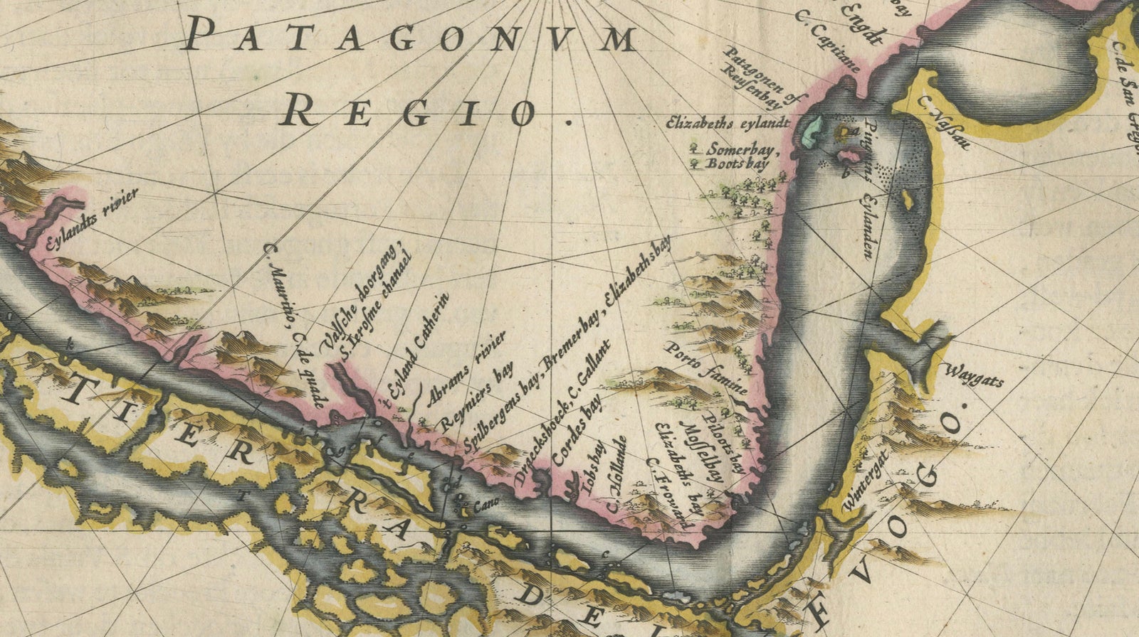
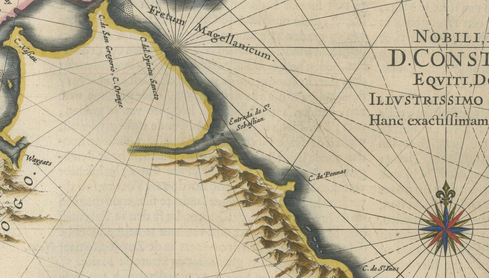
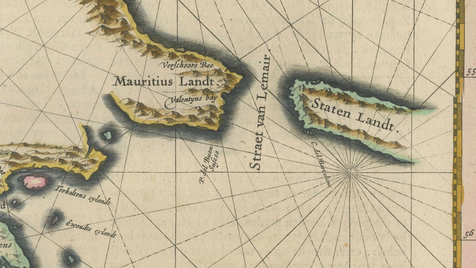
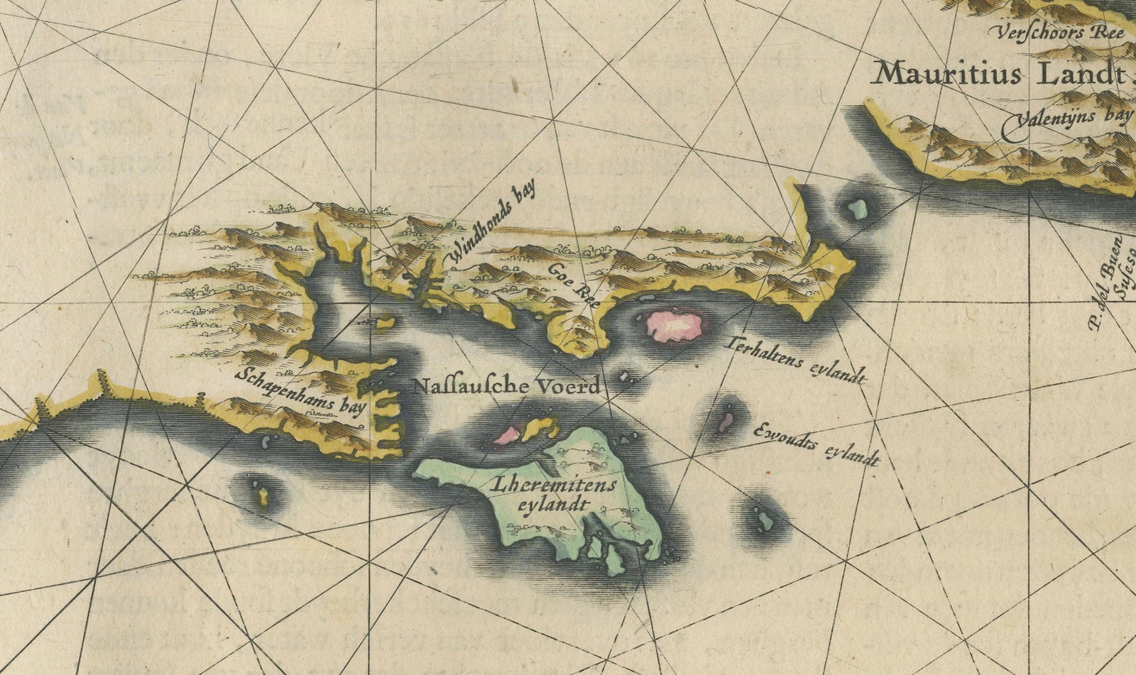
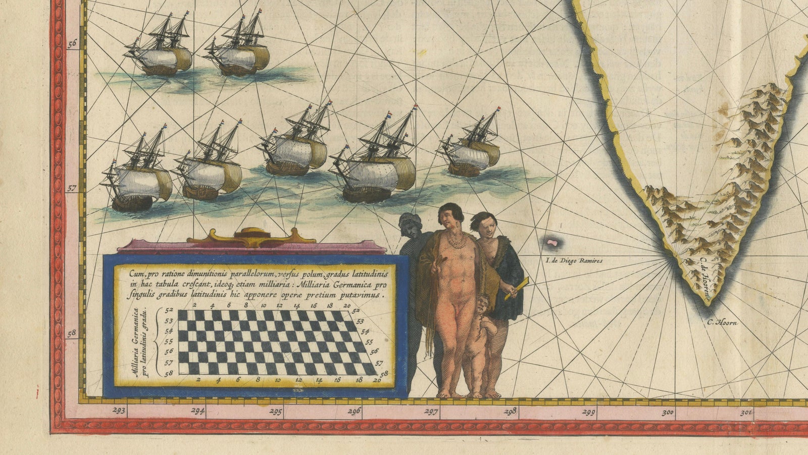
Framed and on the wall
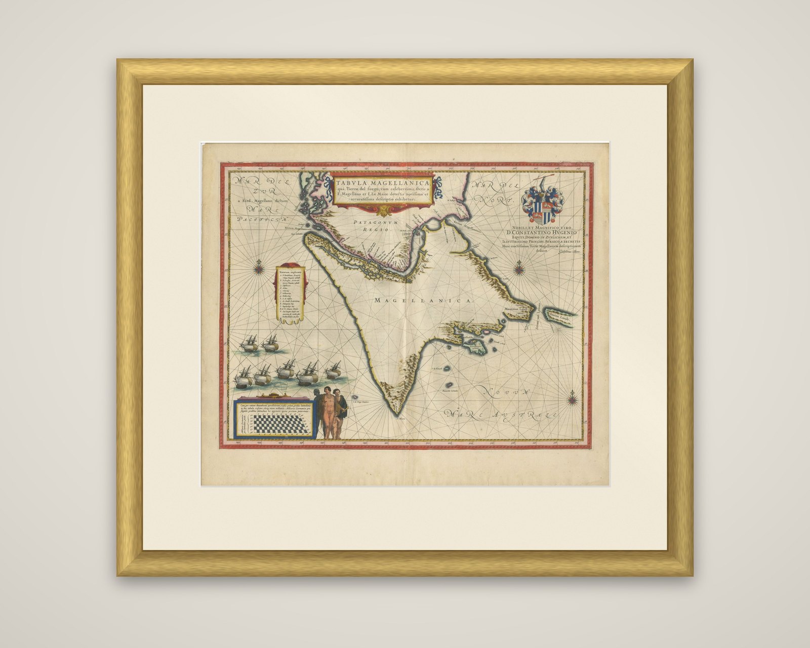
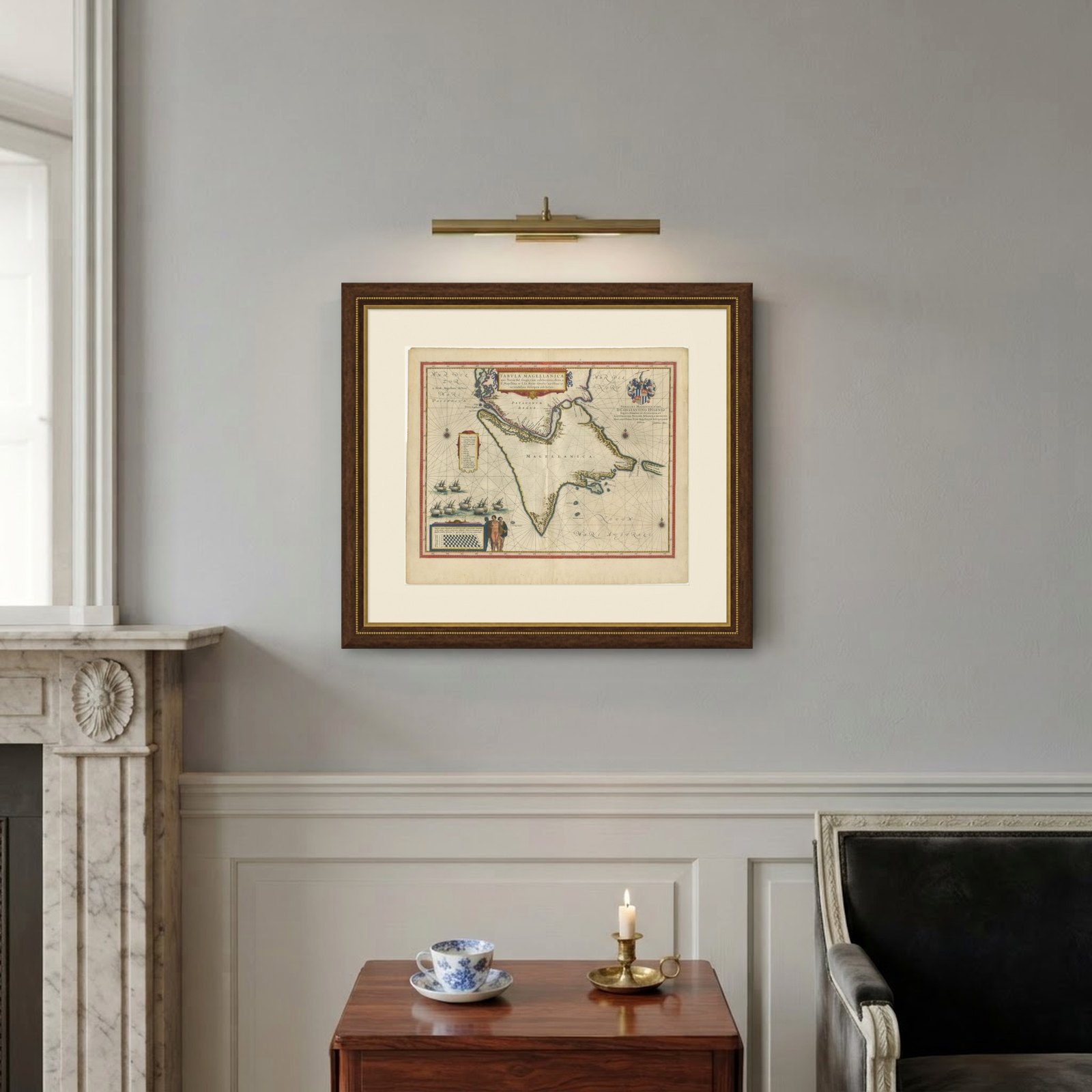
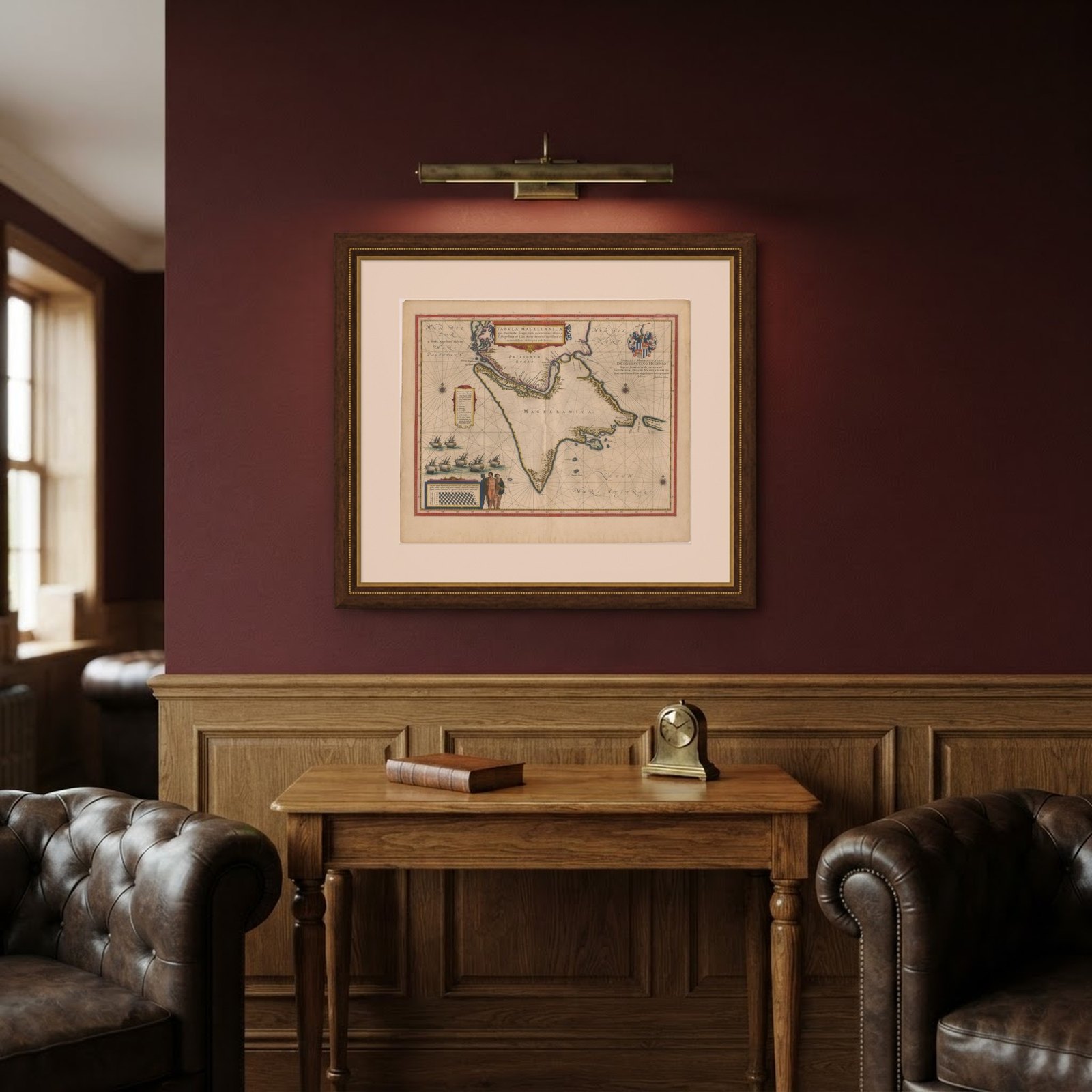
Frame and rooms are illustrations of how the piece could look; it is sold unframed unless the description says otherwise.
Blaeu Strait of Magellan Map, Tierra del Fuego, Decorative Sea Chart, 1642
£5,720
$7,565 · €6,750
Original print, not a reproduction.
Ships worldwide from the Netherlands, flat, insured and tracked. 14-day returns. To buy, use Ask a question and we will reserve it for you.
- Date
- 1642
- Sheet size
- 19.7 × 23.2 in (50 × 59 cm)
- Condition
- Good. Good condition for its age. Original central fold as issued. Light overall toning consistent with age. Minor wear and some faint staining, mainly in the margins. Edges slightly irregular. Colors remain strong and attractive.
- Collection
- Sea charts
- Era
- Before 1700, Dutch Golden Age
- Stock no.
- f_49741412
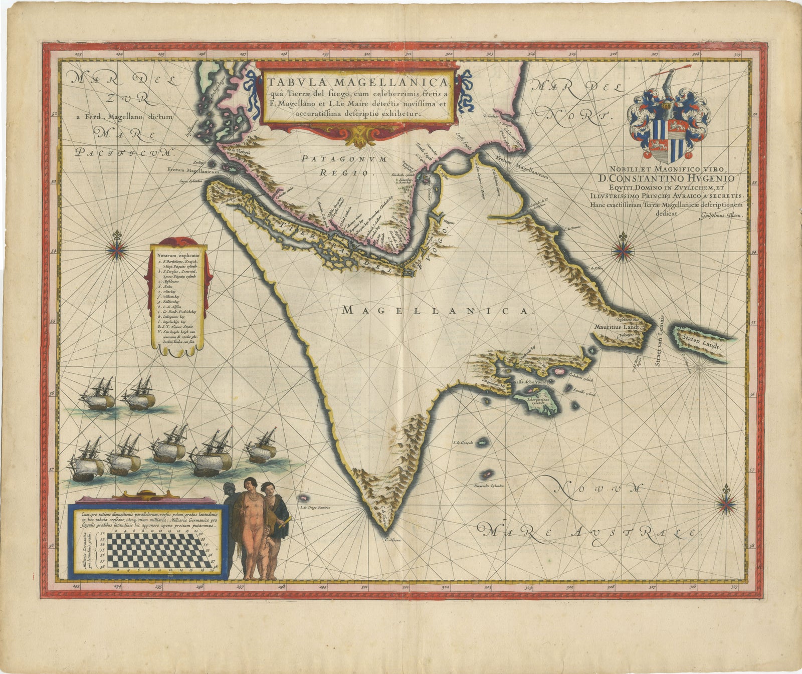
The southern tip of South America, a chart titled "Tabula Magellanica, qua Tierra del Fuego", published by Willem and Joan Blaeu in Amsterdam around 1642 in their atlas Toonneel des Aerdrycx. It is an original copper engraving with hand color.
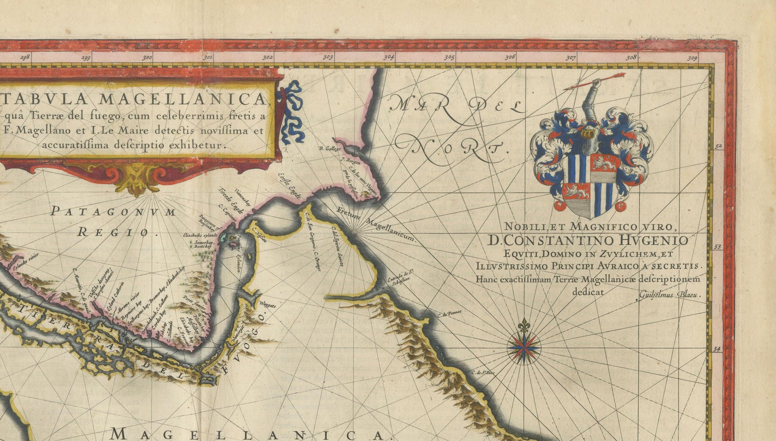
The chart shows Tierra del Fuego as a great triangle named "Magellanica", with Patagonia ("Patagonum Regio") at the north and the Strait of Magellan and the Strait of Le Maire marked. Staten Landt lies at the east. Rhumb lines and several compass roses cross the seas, which are lettered for the Pacific and the Atlantic, and a keyed list of place names stands at the left. A fleet of Dutch ships under sail crowds the lower left, above a vignette of three native figures beside a checkerboard scale. At the upper right a coat of arms stands over a dedication to Constantijn Huygens, lord of Zuilichem and secretary to the Prince of Orange.
The title cartouche at the top refers to the straits found by Magellan and by Le Maire, and the sea passage was the route round the continent between the Atlantic and Pacific oceans.