Close-ups
Framed and on the wall


Frame and rooms are illustrations of how the piece could look; it is sold unframed unless the description says otherwise.
Blaeu Virginia and Florida Map, Decorative Early America Chart, 1642
£4,450
$5,880 · €5,250
Original print, not a reproduction.
Ships worldwide from the Netherlands, flat, insured and tracked. 14-day returns. To buy, use Ask a question and we will reserve it for you.
- Date
- 1642
- Sheet size
- 19.7 × 23.2 in (50 × 59 cm)
- Condition
- Good. Good condition for its age. Original central fold as issued. Light overall toning consistent with age. Minor wear and some faint staining, mainly in the margins. Edges slightly irregular. Colors remain strong and attractive.
- Collection
- Sea charts
- Era
- Before 1700, Dutch Golden Age
- Stock no.
- f_49742012
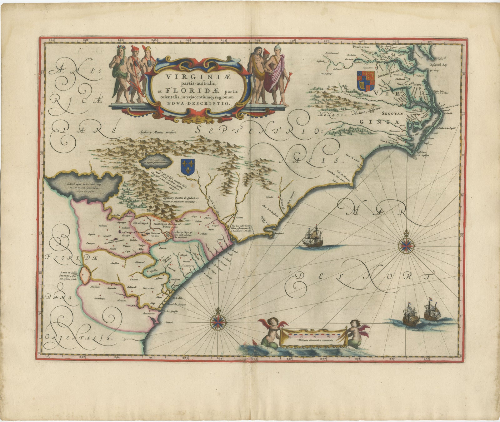
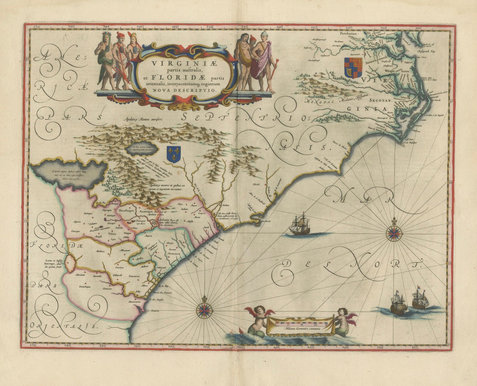
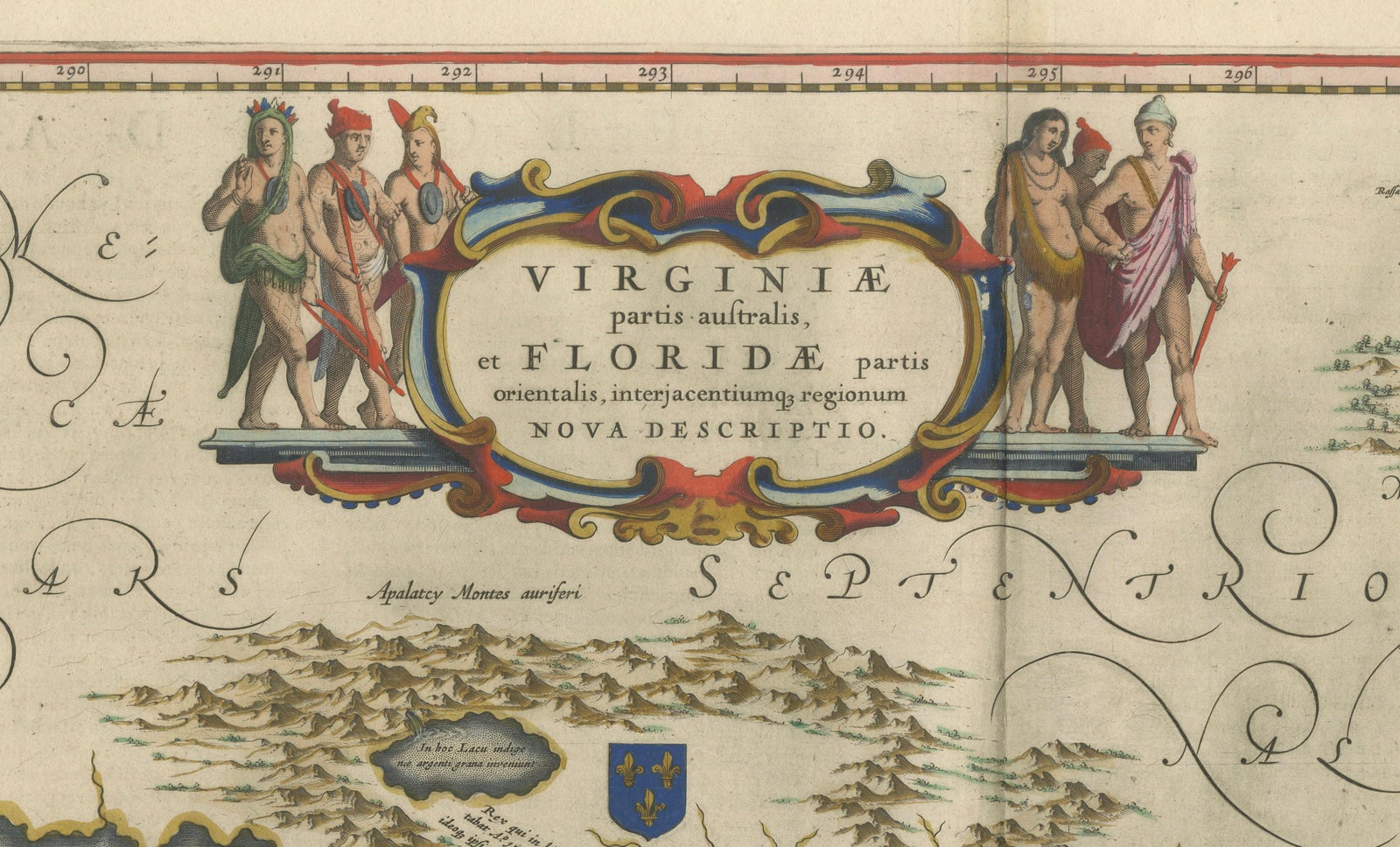
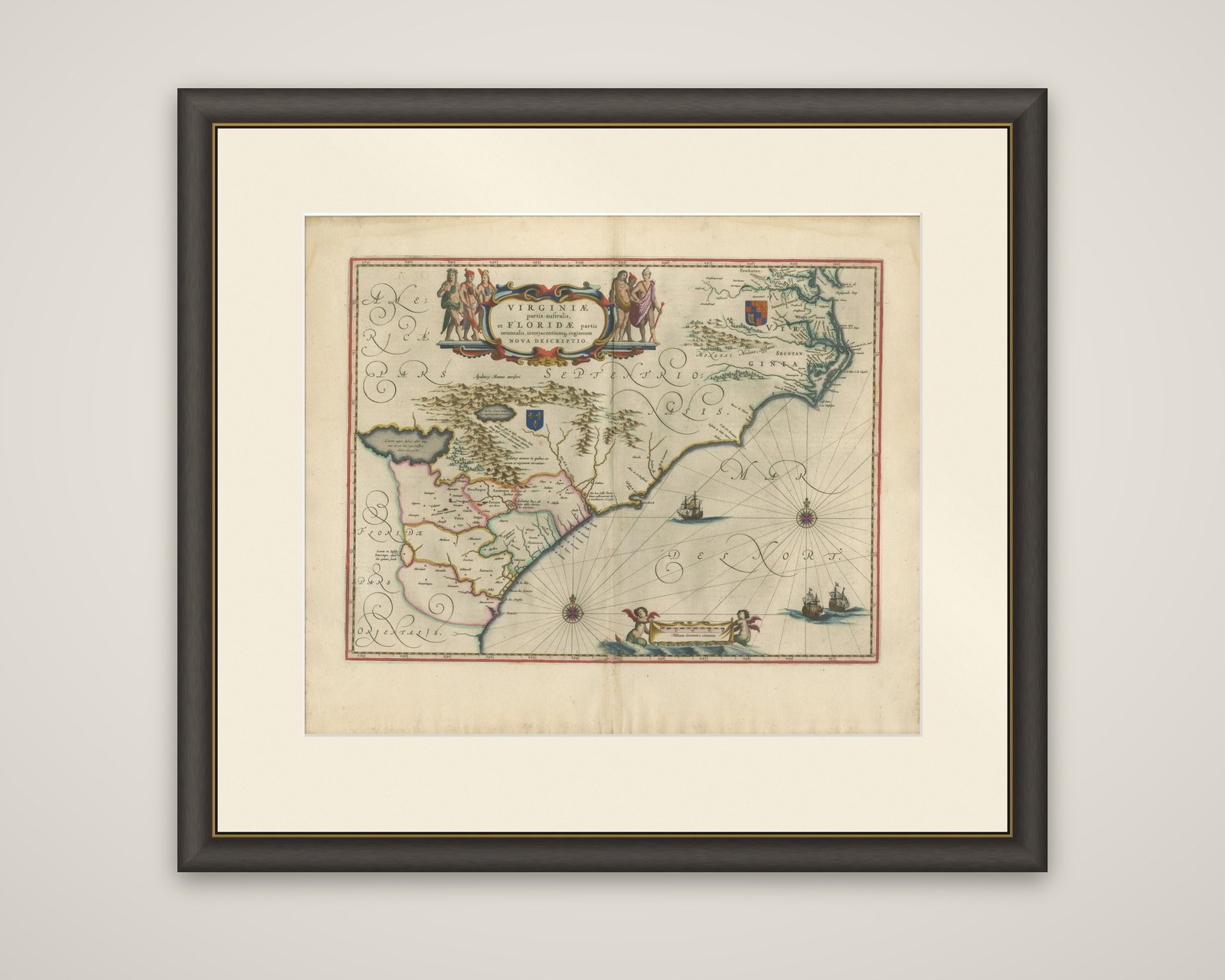
The south-eastern coast of North America from Virginia to Florida, a map titled "Virginiae partis australis, et Floridae partis orientalis, interjacentiumque regionum nova descriptio", published by Willem and Joan Blaeu in Amsterdam around 1642 in their atlas Toonneel des Aerdrycx. It is an original copper engraving with hand color.
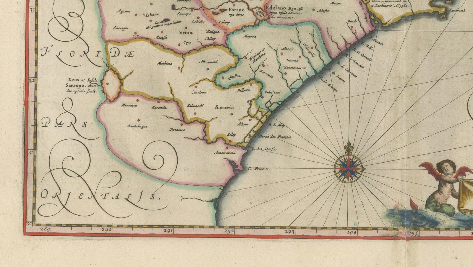
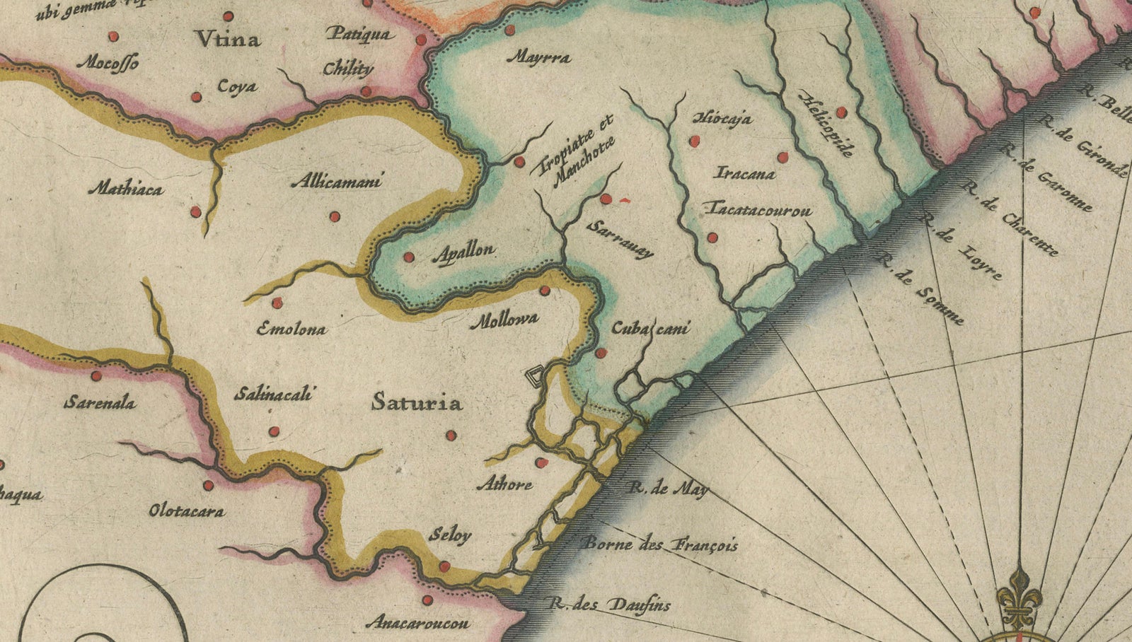
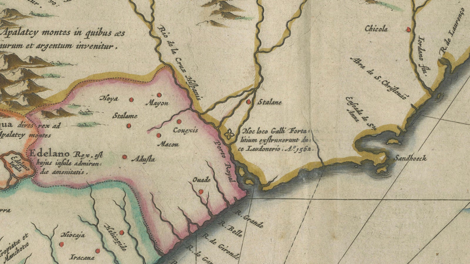
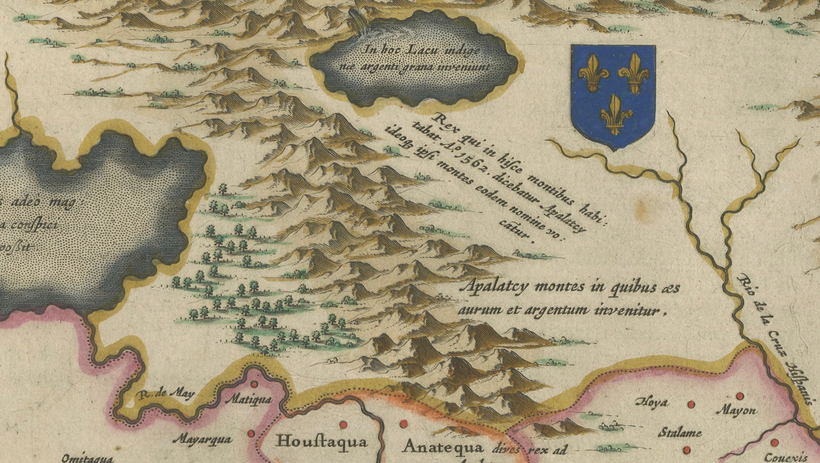
The Atlantic coast sweeps from the Outer Banks and the English Virginia colony at the upper right to the Florida peninsula at the lower left, with the mountains of the interior drawn in pictorial relief and a large lake in the west. The Florida region is shown in outline color with its Native provinces and settlements named, and a French coat of arms and a second shield mark the claims of the European powers. Along the east coast, Secotan and other names recall the early English Roanoke colony. Ships sail the Atlantic, lettered "Mar del Nort", and two compass roses with rhumb lines cross the sea.
The title cartouche at the upper left is flanked by four native figures, two on each side. Two cherubs hold the scale cartouche at the bottom.