Close-ups
Framed and on the wall
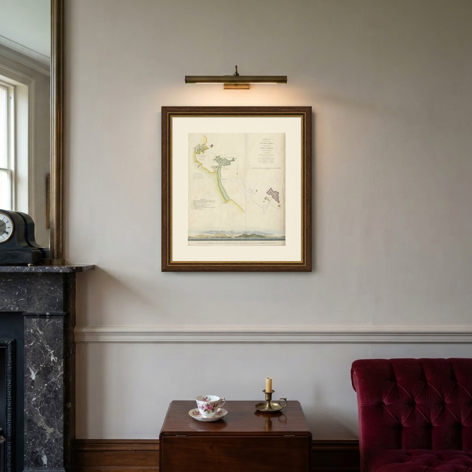
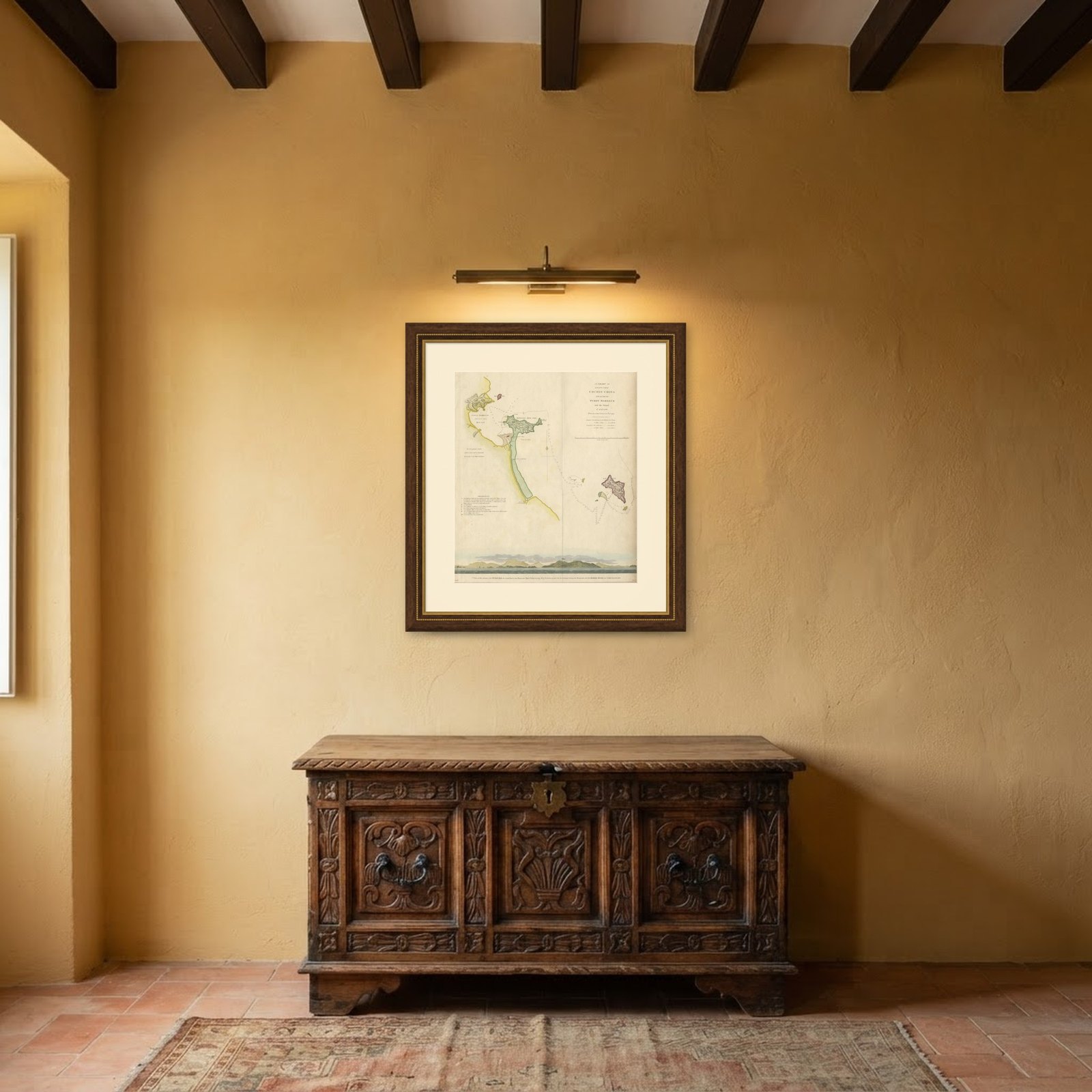
Frame and rooms are illustrations of how the piece could look; it is sold unframed unless the description says otherwise.
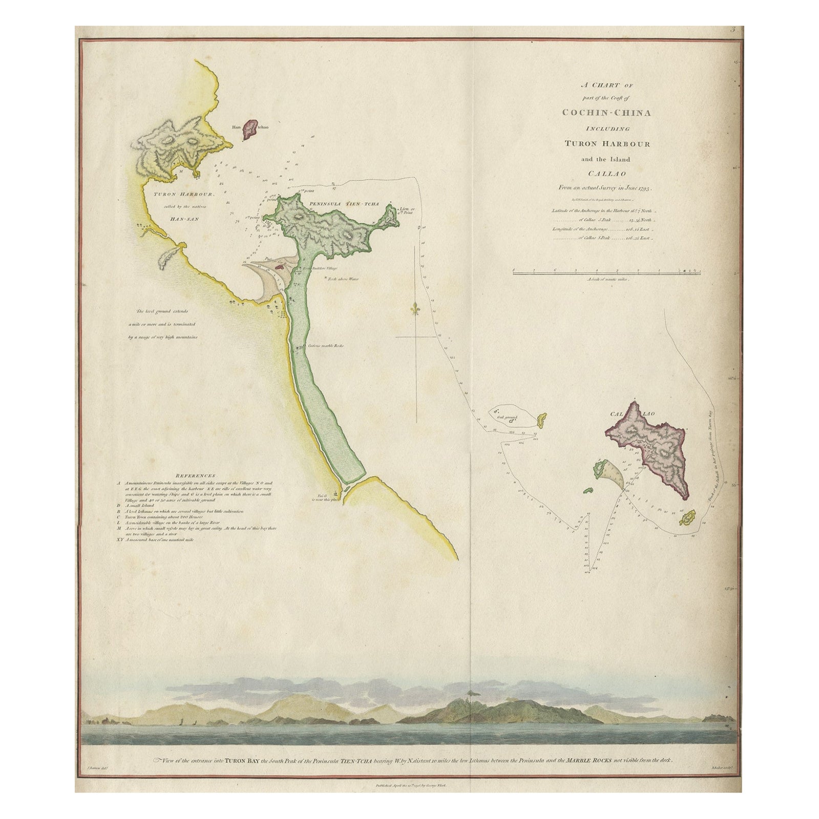
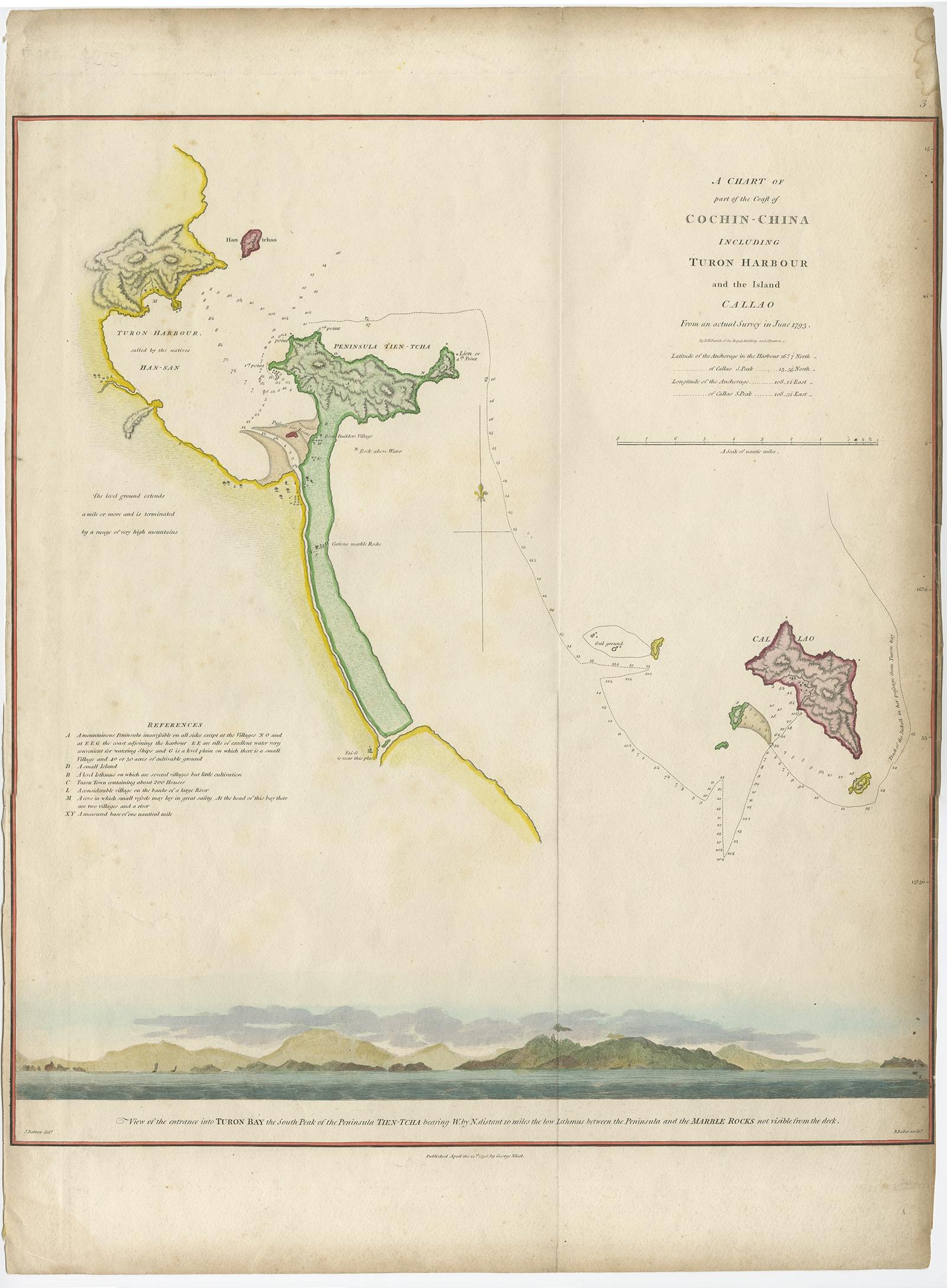
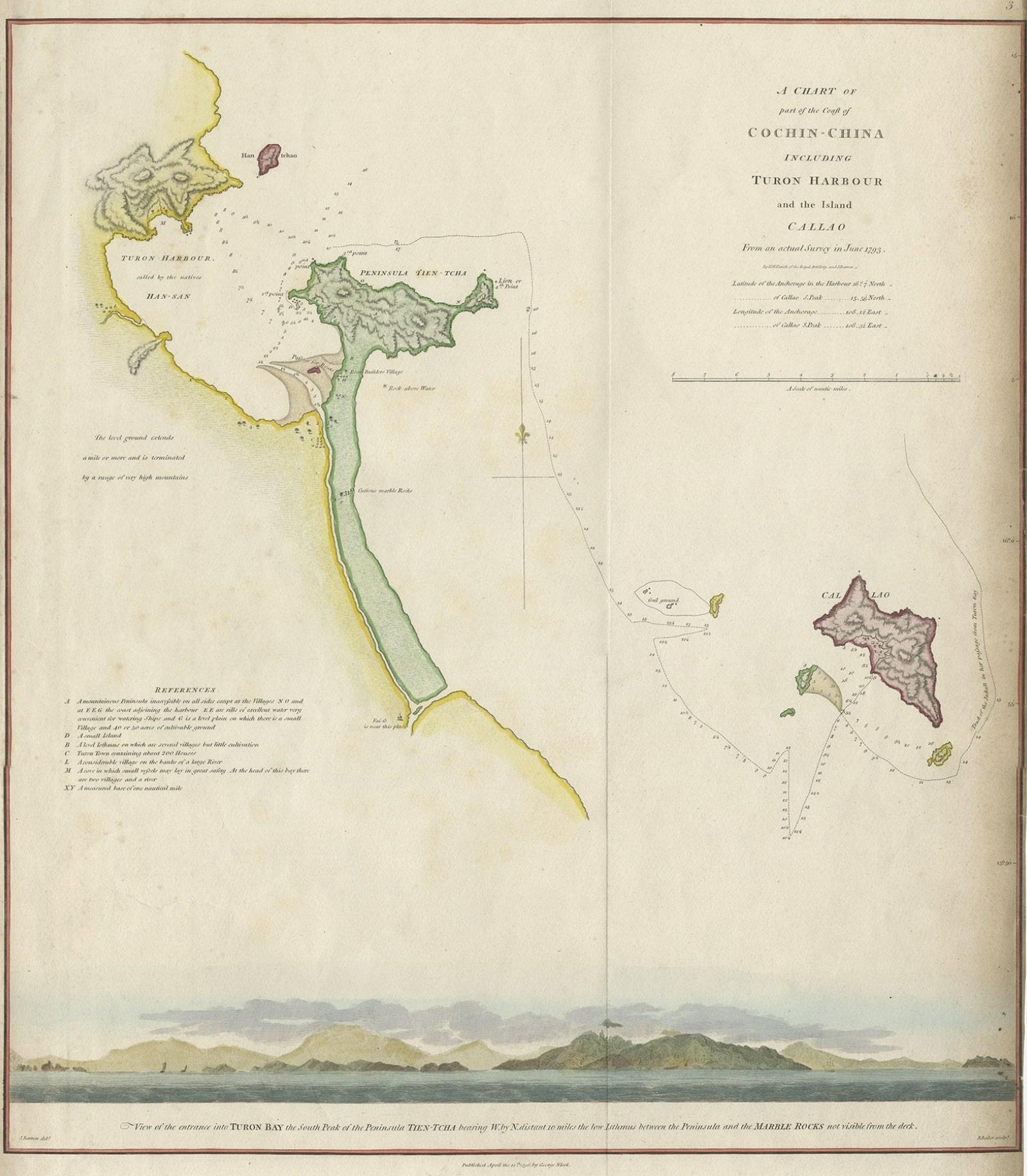
Map of the Vietnamese Coast, Centered on Turon Harbor 'Da Nang Area', 1796
£570
$755 · €670
Original print, not a reproduction.
Ships worldwide from the Netherlands, flat, insured and tracked. 14-day returns.
- Date
- 1796
- Sheet size
- 22.4 × 16.5 in (57 × 42 cm)
- Condition
- Very good, general age-related toning and minor staining. Please study image carefully.
- Collection
- Sea charts
- Era
- 1790 to 1849, Age of sail
- Stock no.
- f_27422262
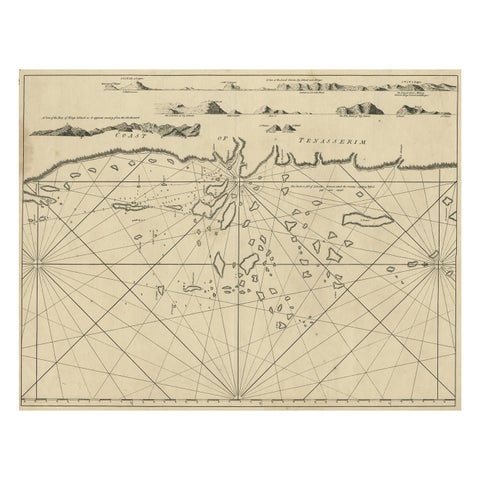
Antique map titled 'A chart of part of the coast of Cochin-China including Turon Harbour and the Island Callao'.
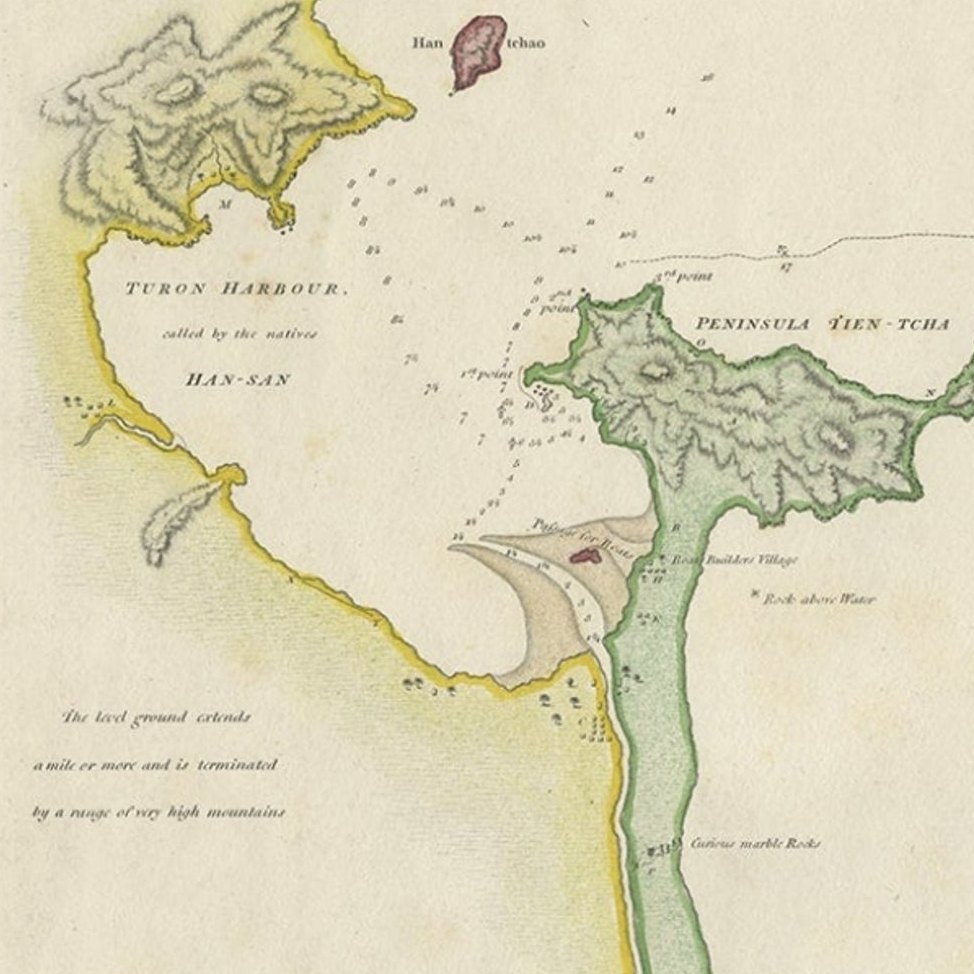
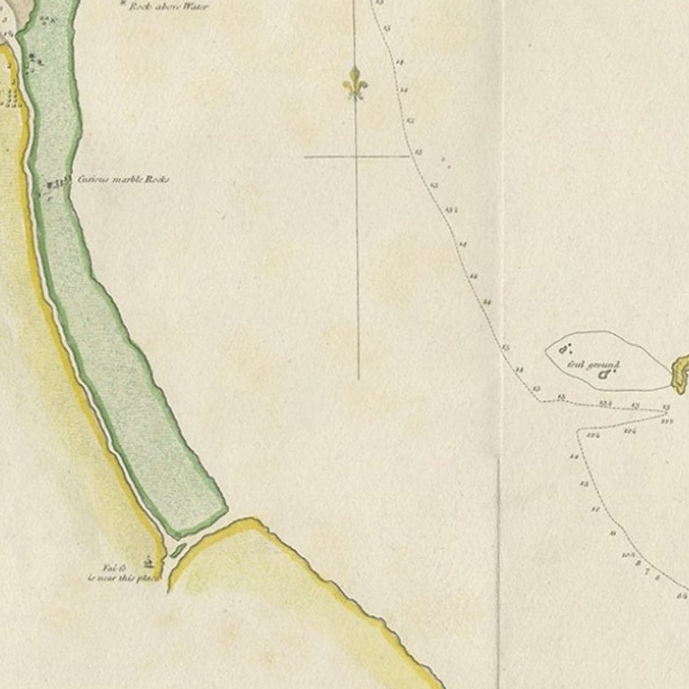
Detailed map of the Vietnamese Coast, centered on Turon Harbor (Da Nang area). With a view of Turon Bay.
Artists and Engravers: Published by G. Nicol, 1796.
EXPLORE