Close-ups
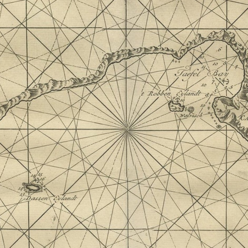
Framed and on the wall
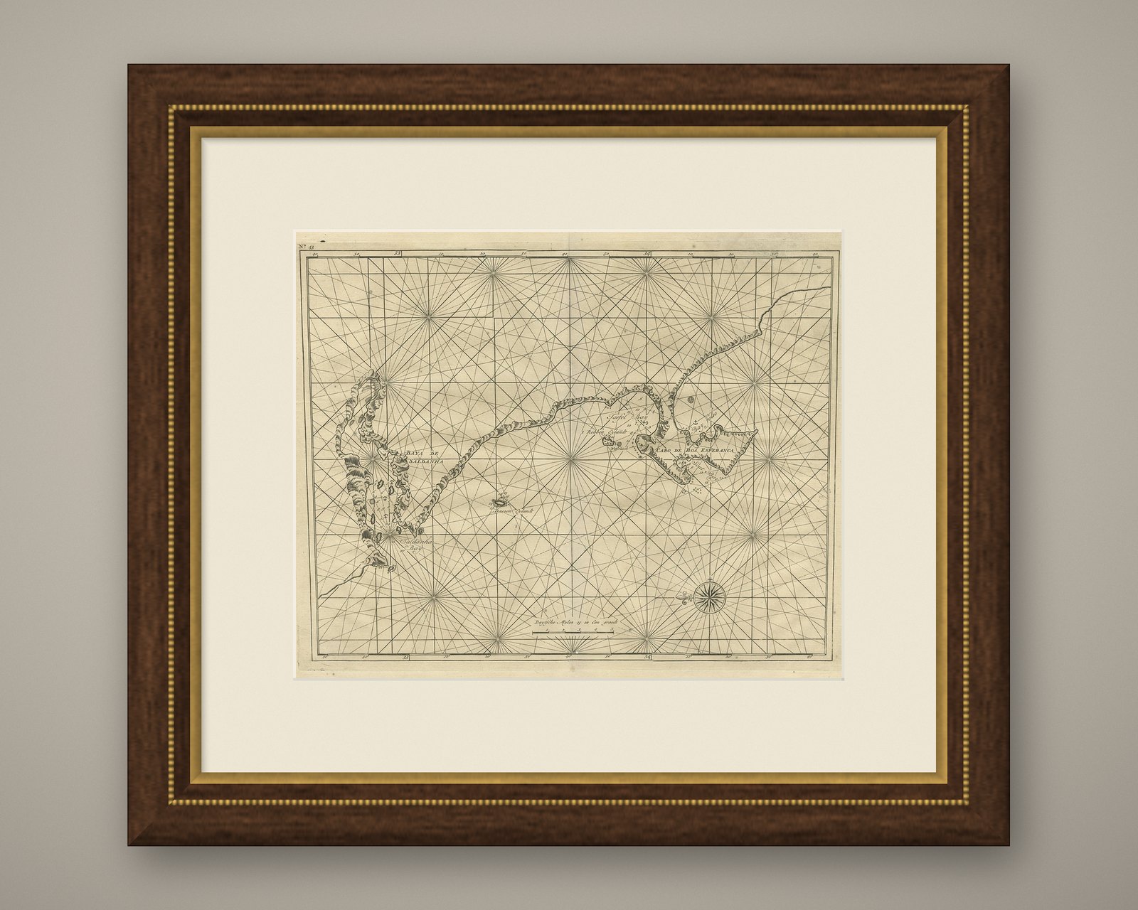
Frame and rooms are illustrations of how the piece could look; it is sold unframed unless the description says otherwise.
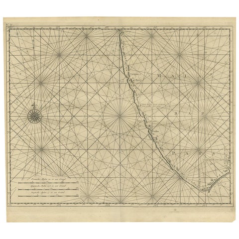
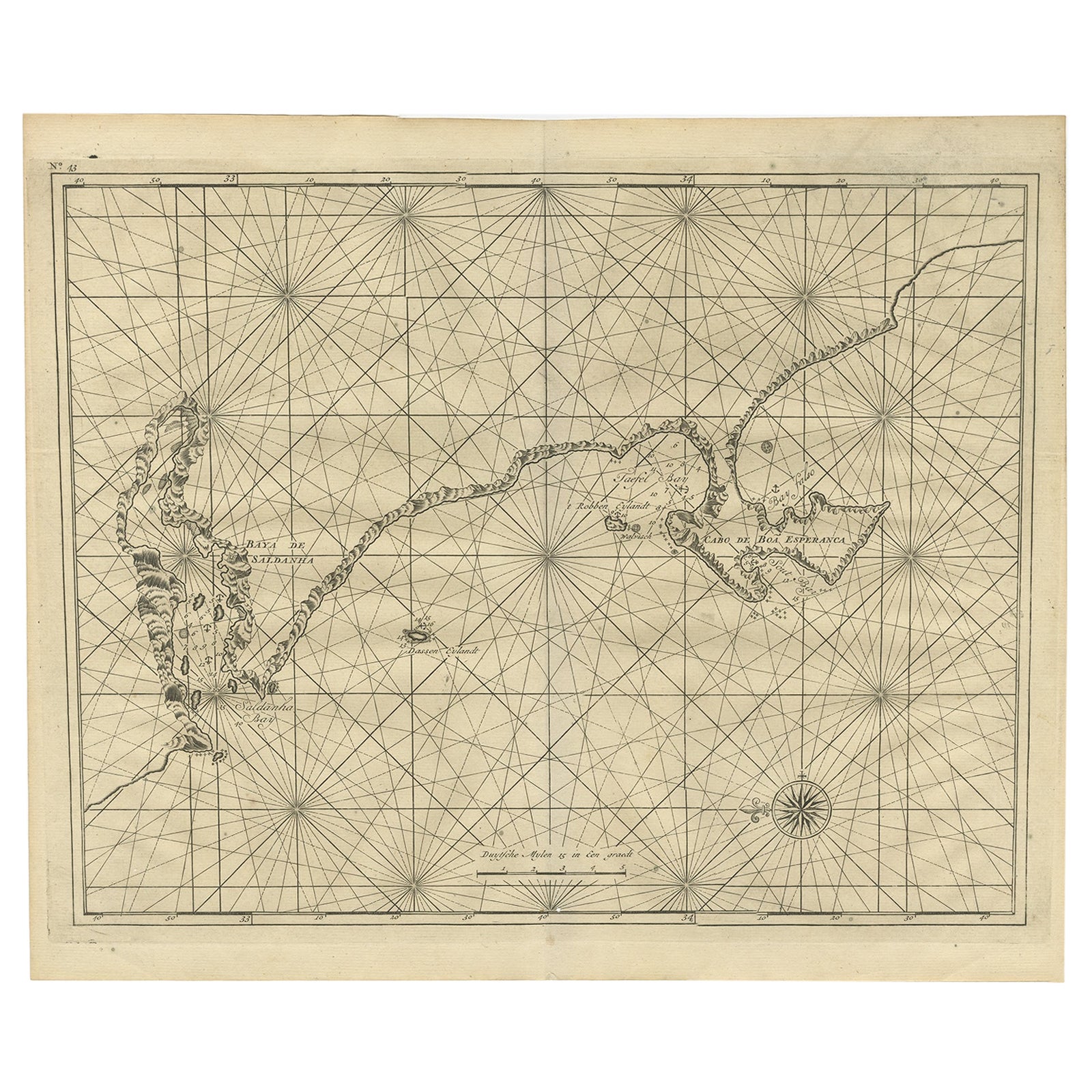
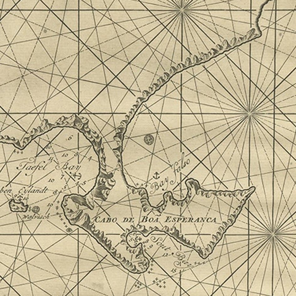
Sea Chart Titled 'Baya de Saldanha' with Robben Island in South Africa, 1726
£950
$1,260 · €1,120
Original print, not a reproduction.
Ships worldwide from the Netherlands, flat, insured and tracked. 14-day returns.
- Date
- 1726
- Sheet size
- 13.4 × 15.9 in (34 × 40.5 cm)
- Condition
- Good. General age-related toning. Few tiny worm holes in image, please study image carefully.
- Collection
- Sea charts
- Era
- 1700 to 1789, Age of discovery
- Stock no.
- f_27195662
Antique map titled 'Baya de Saldanha'.
Sea chart covering the South African coast from the Cape of Good Hope to Saldanha Bay. This print originates from 'Oud en Nieuw Oost-Indiën' by F. Valentijn.
Artists and Engravers: François Valentijn (1666-1727), a missionary, worked at Amboina from 1684 to 1694 and 1705 to 1713 and travelled extensively in the VOC's lands.
EXPLORE