Antique Sea Charts and Prints: The Arctic and the far north
Charts of the northern seas: Greenland, Hudson Bay and Baffin Bay, the White Sea and the coast of Norway, the Dutch voyage to Nova Zembla and the search for a passage through the Arctic.
14 pieces
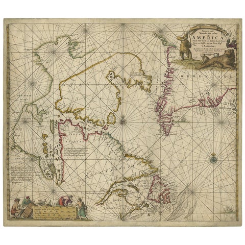
Antique Sea Chart of Hudson Bay and Arctic Canada by Van Keulen, circa 1681
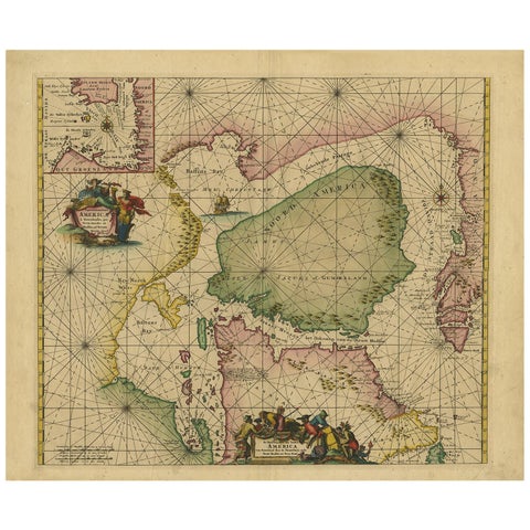
Greenland & North America, Antique Sea Chart by Frederick de Wit, 1745
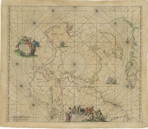
1690 Frederick de Wit Sea Chart of Hudson Bay, Baffin Bay and Greenland
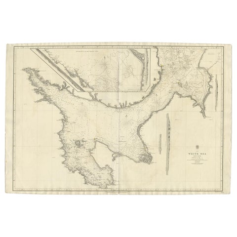
Large Antique Chart of The White Sea, Russa 1854

Map of North and East coast of Asia with Japan & inset maps of Kamchatka, c1750
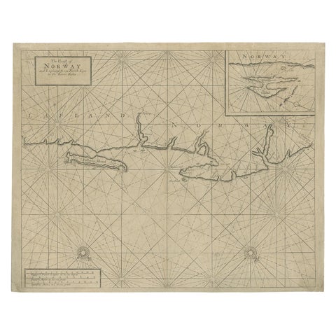
Old Sea Chart of Northern Norway, also depicting Part of Lapland & Russia, 1702
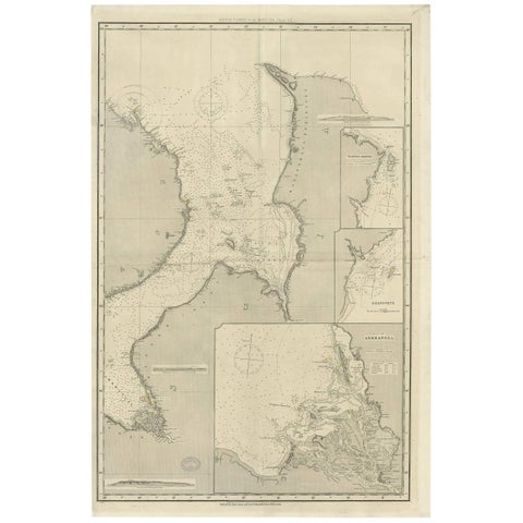
Antique Map of the British Islands to the White Sea by J. Imray
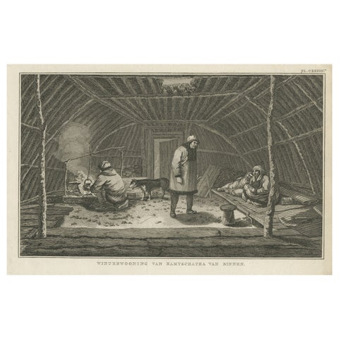
Interior of Winter House, Kamchatka, Cook Voyage Engraving c.1803
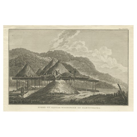
Summer & Winter Houses, Kamchatka, Cook Voyage Engraving c.1803
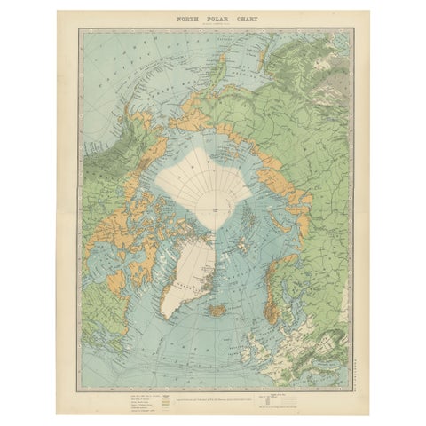
Vintage North Polar Chart, Greenland & Arctic Exploration Routes, 1903
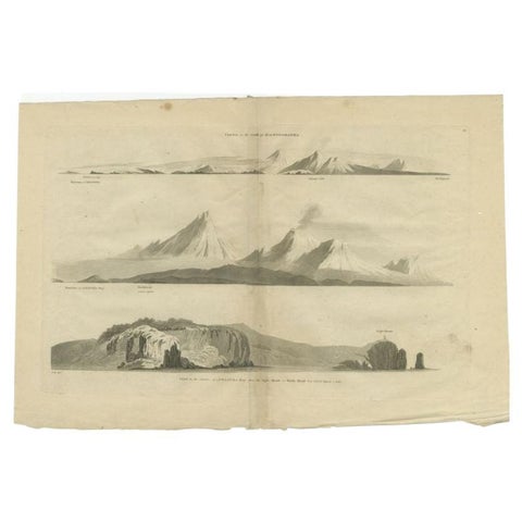
Antique Print with Coastal Views of Kamchatka in The Russian Far East, c.1784
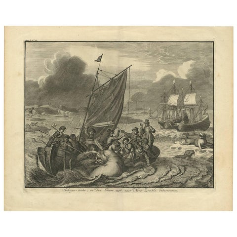
Antique Print of the Sea Voyage to Nova Zembla, Russia, circa 1730
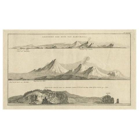
Antique Print with Coastal Views of Kamchatka in Russia by Cook, 1803
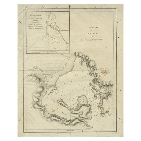
Old Map of Awatska Bay on the Coast of Kamchatka Peninsula, Russia by Cook, 1784
More to explore
PLACES