Black Friday Sale now on: up to 30% off until Monday 30 November →
Orders placed from 15 to 30 November ship from 1 December, in time for Christmas. Our shipping partner: InXpress.
Antique Sea Charts

Antique Sea Charts and Prints: France

Charts of the French coast from Dunkirk and Calais to Brest, Bayonne and the Mediterranean shore of Languedoc and Roussillon, with views of the Channel ports of Dieppe and Cherbourg.

19 pieces
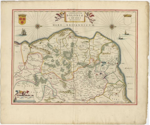
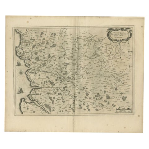
Blaeu Map of Boulogne & Calais Coast, Maritime France, Ships c.1642
Blaeu Map of Boulogne & Calais Coast, Maritime France, Ships c.1642

1642£3,975
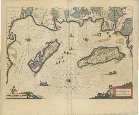
Blaeu Map of Île de Ré & Oléron, La Rochelle Coast France, c.1642
Blaeu Map of Île de Ré & Oléron, La Rochelle Coast France, c.1642

1642£3,310
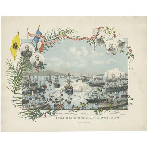
Naval lithograph of Russian fleet arriving in Toulon, France, in 1893
Naval lithograph of Russian fleet arriving in Toulon, France, in 1893

1893£1,465£1,17020% off
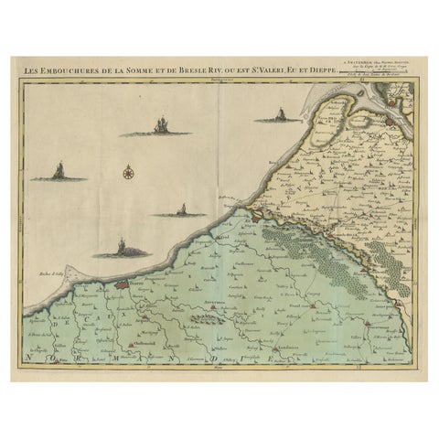
Beautiful Antique Map of the French Coast, from St. Valeri to Dieppe, 1720
Beautiful Antique Map of the French Coast, from St. Valeri to Dieppe, 1720

1720£920£73520% off
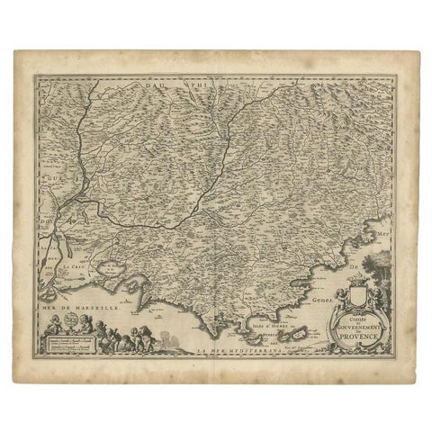
Original Antique Map of the Southern Coast of France by Janssonius, 1657
Original Antique Map of the Southern Coast of France by Janssonius, 1657

1657£605£42030% off
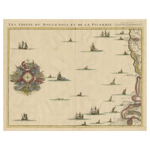
Antique Map of the French Coast at Boulogne and Picardy
Antique Map of the French Coast at Boulogne and Picardy

Date not stated£410£28530% off
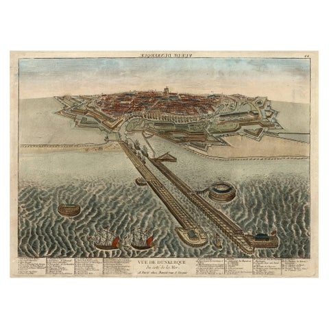
Spectacular 1770 Bird's-Eye View of Dunkirk Harbor by Basset, with 66 Landmarks
Spectacular 1770 Bird's-Eye View of Dunkirk Harbor by Basset, with 66 Landmarks

1770£410£28530% off
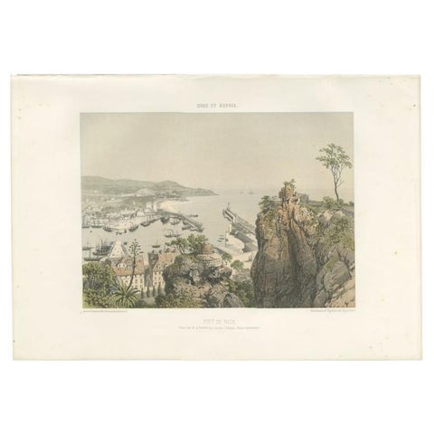
Antique Print of the Port of Nice in France, c.1865
Antique Print of the Port of Nice in France, c.1865

1865£370£26030% off
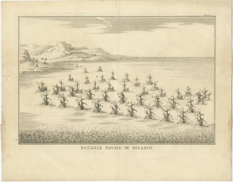
Classical Warfare & Naval Battles, Set of 5 Antique Engravings, France c.1720
Classical Warfare & Naval Battles, Set of 5 Antique Engravings, France c.1720

1720£350£24530% off
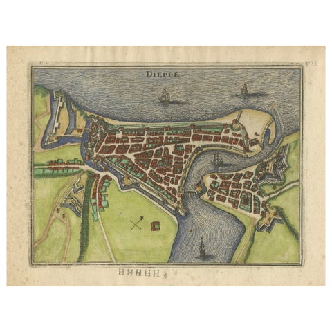
Dieppe, Antique Hand-Colored French Coastal Town Engraving (1666)
Dieppe, Antique Hand-Colored French Coastal Town Engraving (1666)

1666£300£21030% off
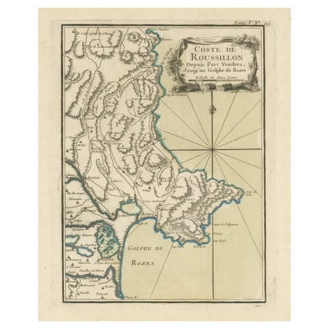
Antique Map of the Coast of Roussillon, France
Antique Map of the Coast of Roussillon, France

Date not stated£285£20030% off
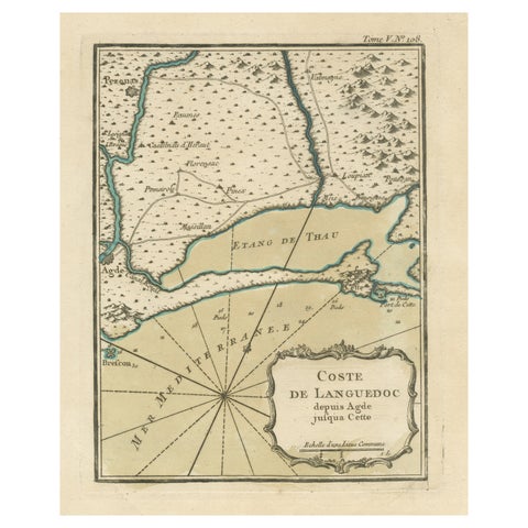
Antique Map of the Languedoc Coast between Agde and Sète 'Cette', France
Antique Map of the Languedoc Coast between Agde and Sète 'Cette', France

Date not stated£285£20030% off
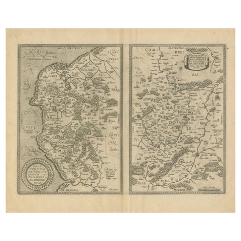
Antique Map of the Coastline Between Calais and Estaples and Northern France
Antique Map of the Coastline Between Calais and Estaples and Northern France

Date not stated£285£20030% off
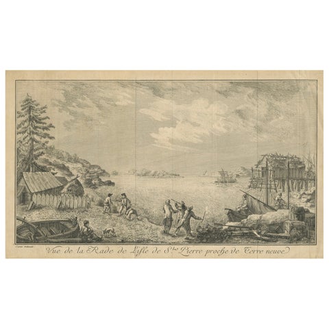
View of the Harbor of St Pierre, Newfoundland, Early French Coastal Engraving
View of the Harbor of St Pierre, Newfoundland, Early French Coastal Engraving

Date not stated£285£20030% off
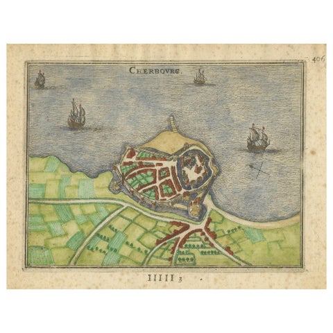
Cherbourg, Antique Hand-Colored French Coastal Town Engraving (1666)
Cherbourg, Antique Hand-Colored French Coastal Town Engraving (1666)

1666£275£19530% off
Antique Map of the Coast of Artois by Janssonius, 1657
Antique Map of the Coast of Artois by Janssonius, 1657

1657£270£19030% off
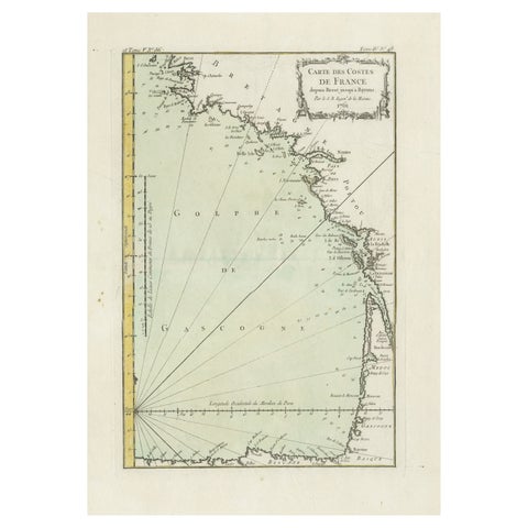
Antique Map of the Coast of France Between Brest and Bayonne
Antique Map of the Coast of France Between Brest and Bayonne

Date not stated£270£19030% off
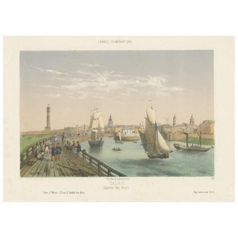
Original Antique Print of the Port of Calais, France, ca.1860
Original Antique Print of the Port of Calais, France, ca.1860

1860£235£16530% off
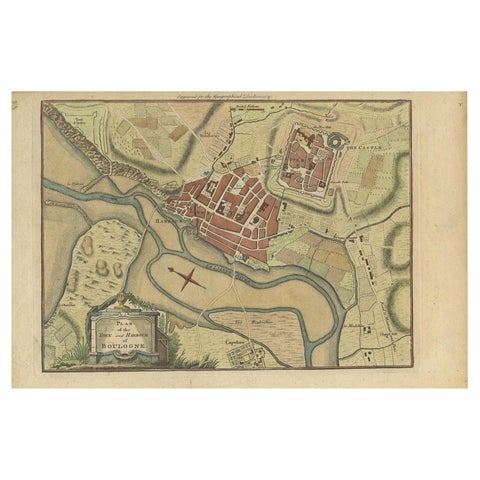
Antique Plan of the Town and Harbour of Boulogne-sur-Mer by Barrow 'c.1760'

Antique Plan of the Town and Harbour of Boulogne-sur-Mer by Barrow 'c.1760'

1760£125£9030% off

More to explore

Your favorites

Saved in this browser. Email the list to yourself to keep it on any device.

We use your email to send this list and, only if you tick the box and confirm, for occasional new arrivals. Every email has an unsubscribe link. Bartele Gallery, the Netherlands.

Powered by SiteKeys