Antique Sea Charts and Prints: The Netherlands and the North Sea
The waters these charts were made for: the North Sea, the Wadden Islands and the Zuyder Zee, the coasts of Friesland and Zeeland and the Maas, charted by the Amsterdam publishers of the Dutch Golden Age, a short sail from the gallery in Friesland.
17 pieces
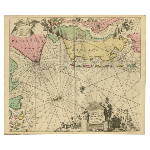
Rare Sea Chart of the East Frisian Islands or Watten and the North Sea, c.1700
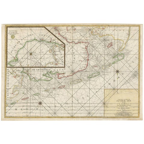
Large Sea Chart of the Zuyder Zee & The Northsea with the Wadden Islands, 1773
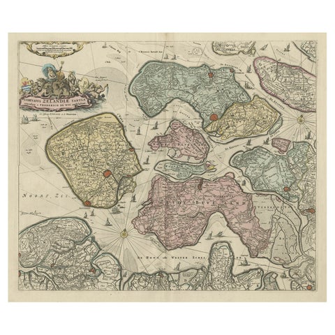
Decorative Antique Sea Chart of Zeeland, a Province of the Netherlands, ca.1730
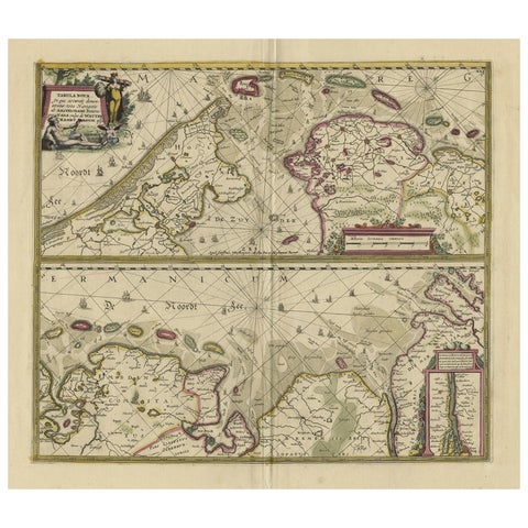
Antique Engraving of Dutch and German North Sea Coast of Friesland, ca.1680
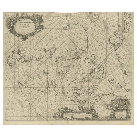
Nautical Chart of Skagerrak and Øresund by Johannes van Keulen, 1680
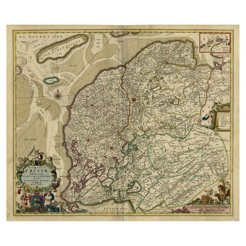
Large Copper Engraved Map of the Coastline of Friesland and Terschelling, c.1670
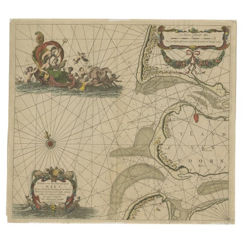
Original Antique Sea Chart of the Maas 'or Meuse' River with Neptunes, 1684
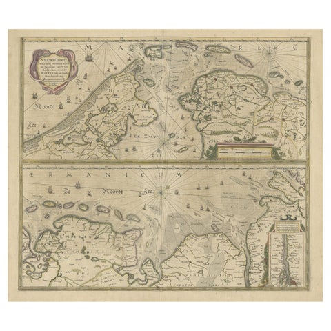
Two Original Antique Engravings with the Dutch and German North Sea Coast, c1650
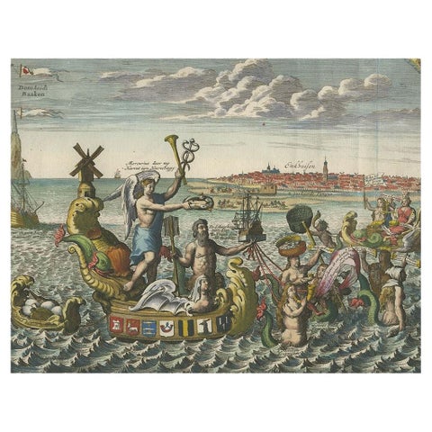
Antique Satirical Print showing Mermaids about the Port of Enkhuizen, circa 1720
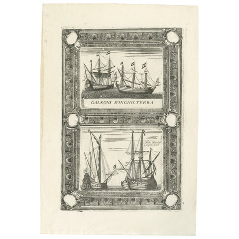
Dutch Inland Sailing Boats, Amsterdam–Haarlem & Delft–Rotterdam, Coronelli 1690
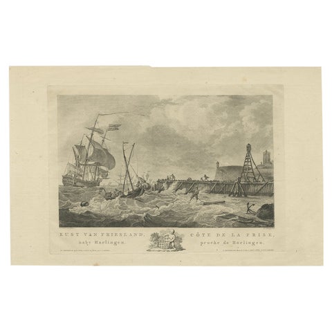
Antique Print of the Coast of Harlingen, Harbour in Friesland, circa 1780
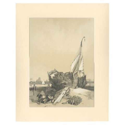
Rotterdam from the Ferry, Stanfield Sketches, Boys after Stanfield, 1833
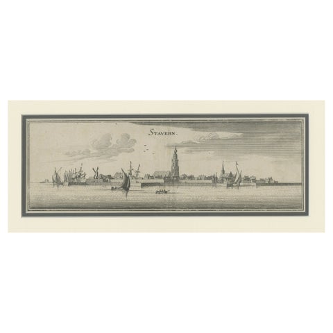
Antique Print of the Frisian Harbour City of Stavoren in the Netherlands, 1659
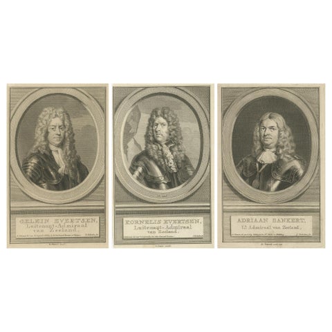
Naval Commanders of Zeeland, Gelein & Kornelis Evertsen, Adriaan Bankert, c1750
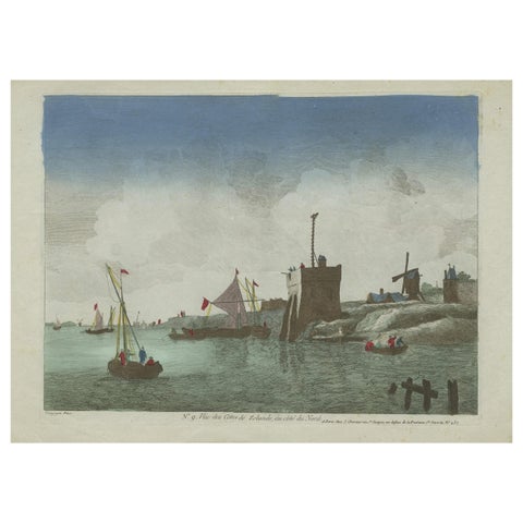
Original Hand-Colored Optica View of the Coast of Zeeland, The Netherlands
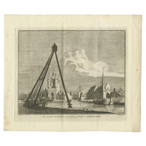
Antique Print of the Port of Zierikzee by Tirion, 1751
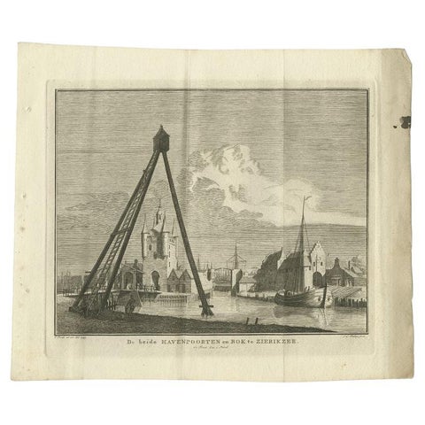
Antique Print of the Port of Zierikzee, Holland, by Tirion, 1751
More to explore
PLACES