Antique Sea Charts and Prints: Southeast Asia
Sea charts and views of mainland Southeast Asia and the Philippines: the coast of Vietnam and Pulo Condor, Siam and Ayutthaya, Burma and the Tenasserim coast, Luzon and Singapore.
12 pieces
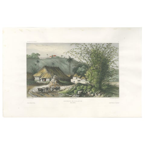
Singapore Environs View, French Exploration Lithograph, La Bonite Voyage, 1845
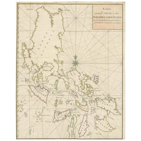
Large German Chart of the Philippines with Hand-Colored Borders, 1763
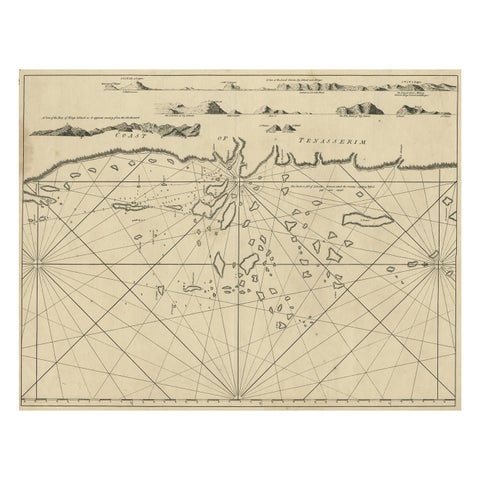
Old Sea Chart of the Tenasserim area, Myanmar 'Burma' in South East Asia, c.1790
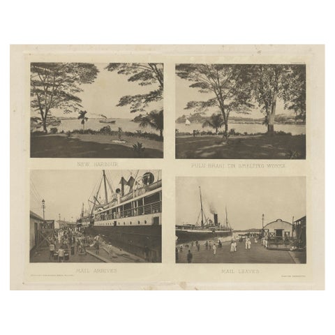
Rare Harbour Views of Colonial Singapore, 1907
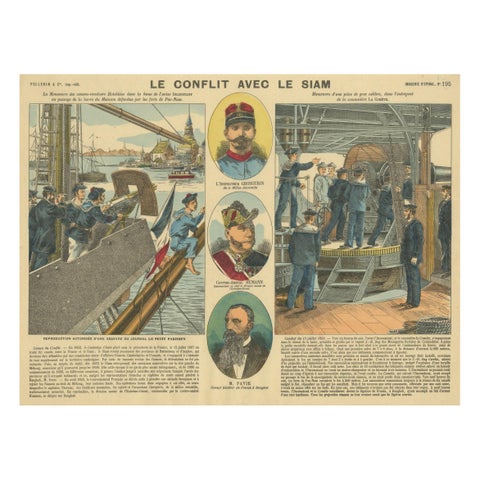
Conflict with Siam, a French Naval Action Scene, Épinal Colonial Print, 1893
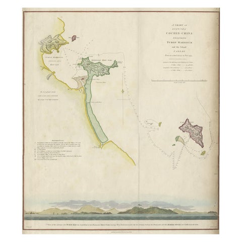
Map of the Vietnamese Coast, Centered on Turon Harbor 'Da Nang Area', 1796
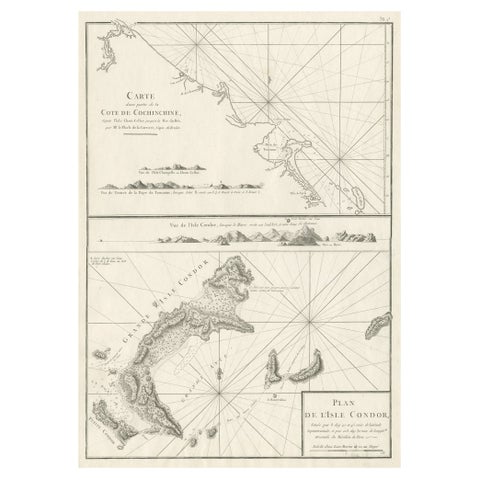
Old Sea Charts of Tourane Bay & the Con Dao Islands 'Pulo Condor', Vietnam, 1780
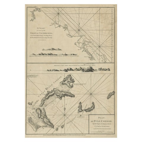
Chart of the Coast of Cochinchina' and 'Plan of Pulo Condor', Vietnam, 1778
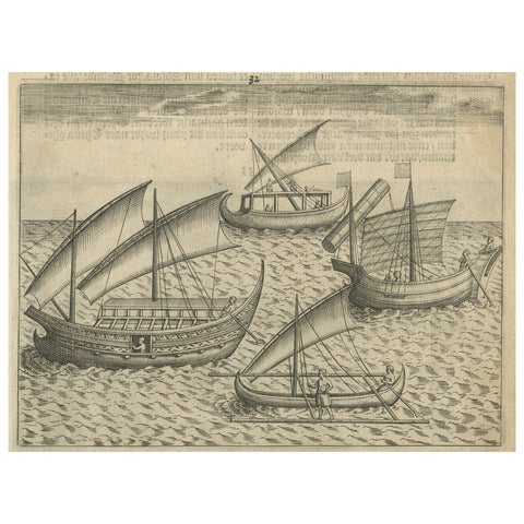
Javanese and Malay Ships near Bantam, from Pontanus’ Amsterdam History, 1611
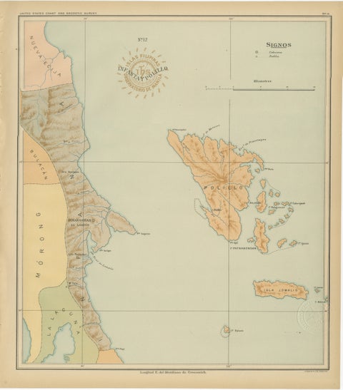
Map of Polillo Islands and Eastern Luzon Coast, Observatorio de Manila, 1899
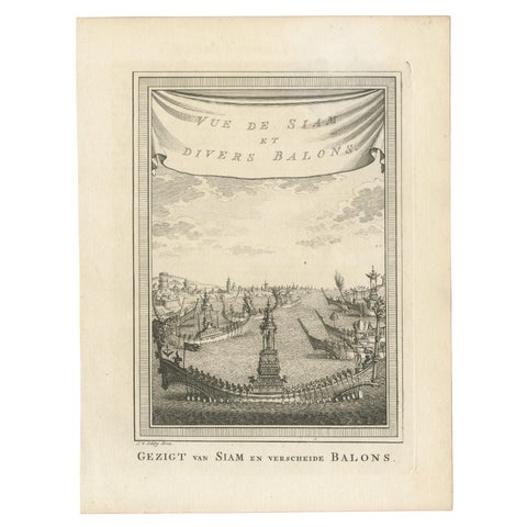
Antique Print of Siam and Various Vessels by Van Schley 'c.1750'
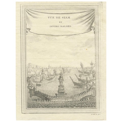
Antique Copperplate Print of Ayutthaya, 'View of Siam and Various Boats', 1751
More to explore
PLACES