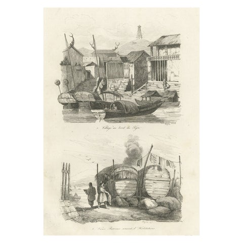
Voyages of discovery
Charts and views from the great voyage accounts: Captain Cook, Anson, Hawkesworth, Bougainville, Dampier and Dumont d'Urville, with the first surveys of the Pacific islands, New Zealand, Australia and the far north.
111 pieces
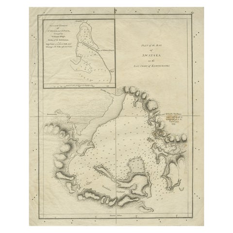
Old Map of Awatska Bay on the Coast of Kamchatka Peninsula, Russia by Cook, 1784
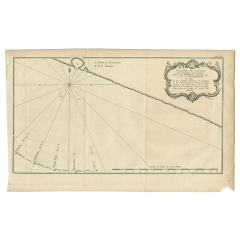
Antique Map of the Coast of Acapulco by Anson, c.1740
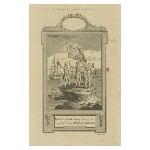
Bougainville's Claim in the Magellan Straits, circa 1767
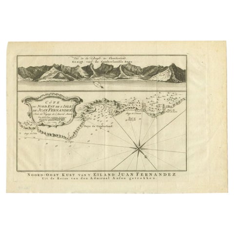
Antique Map of the Coast of Juan Fernandez by Van Schley, 1757
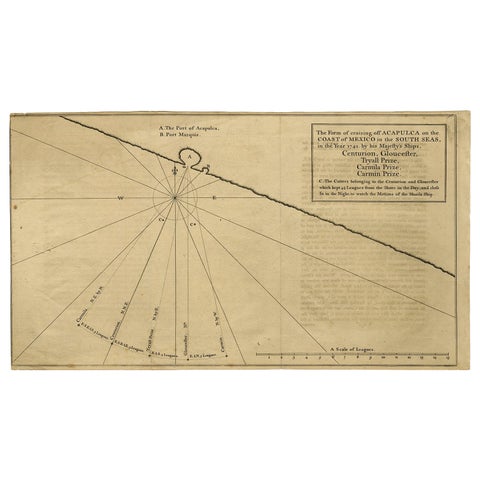
Navigational Chart of Mexico's Coast, with Acapulco and Port Marquis, 1748
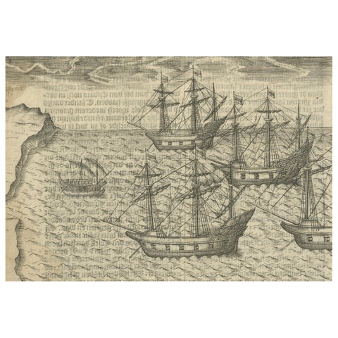
Dutch Voyages to Madagascar, Early Exploration Scene, Pontanus 1611
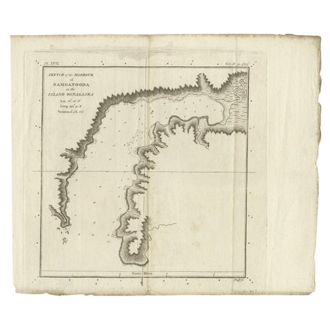
Antique Map of the Harbour of Samganoodha by Cook, c.1781
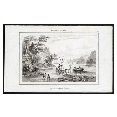
Antique Print of Sailors at New Ireland, 1836
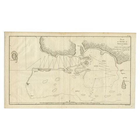
Antique Map of the Northern Coast of Tongatapu by Benard, c.1785
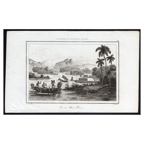
Antique Print of Dory Harbour, New Guinea, 1836
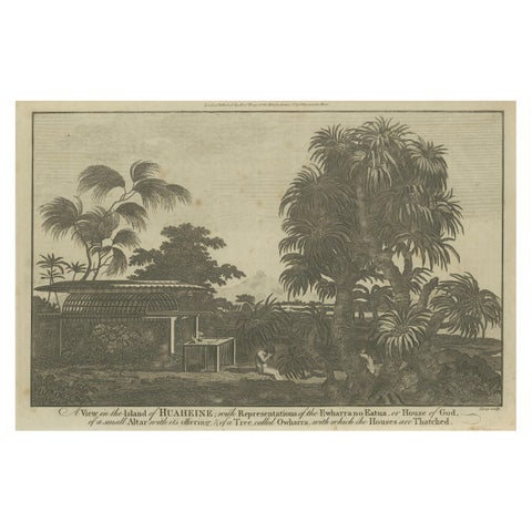
A View of the Ewharrano Eatua, or House of God, in Huahine from Cook's Voyages
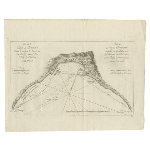
Antique Map of a Bay Nearby Makassar, Celebes 'Sulawesi)' by Hawkesworth, 1774
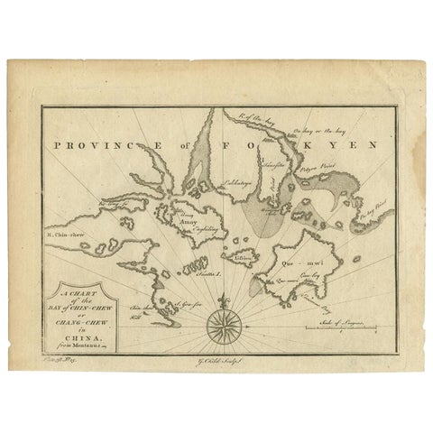
Antique Map of the Bay of Cordes and Surroundings by Hawkesworth, 1774
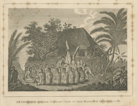
Offering Before Captain Cook, Hawaii, after Webber, Engraving, circa 1790