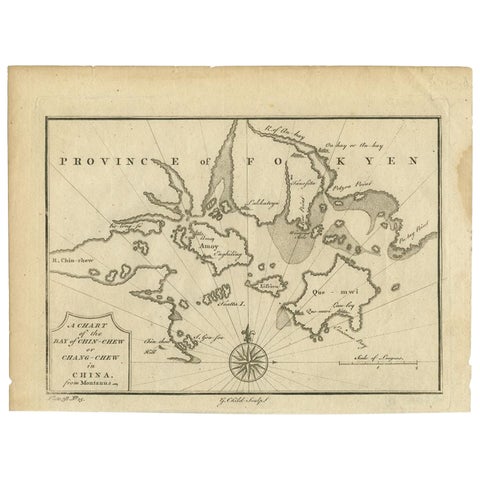
Voyages of discovery
Charts and views from the great voyage accounts: Captain Cook, Anson, Hawkesworth, Bougainville, Dampier and Dumont d'Urville, with the first surveys of the Pacific islands, New Zealand, Australia and the far north.
42 pieces
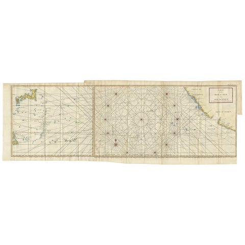
Antique Chart of the Mid-Pacific Ocean by Anson, c.1784
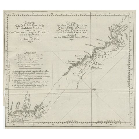
Old Chart of the North-Eastern Coast of Australia Discovered by Cook, 1774
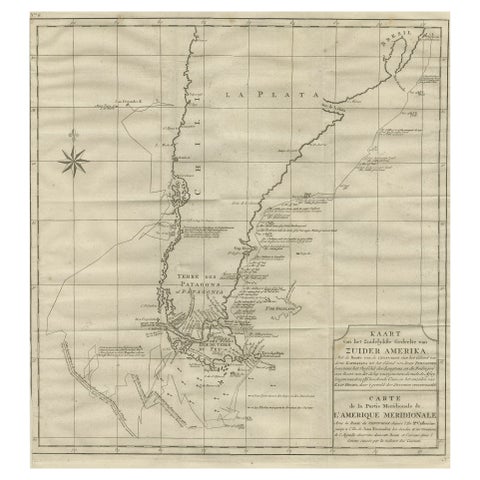
Antique Map of Tracks of Anson's Ships around South America & Cape Horn, 1749
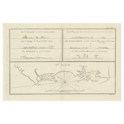
Antique Map of New Ireland (Pacific) with Coastal Profiles, Cook Voyages, 1774
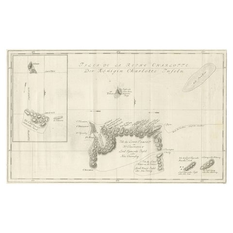
Original Antique Chart of the Santa Cruz Islands, 1774
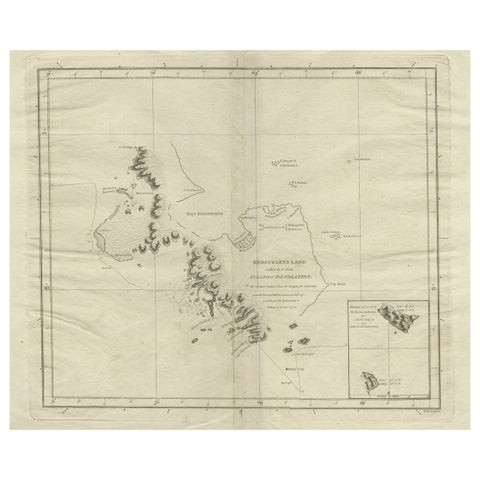
Antique Map of Kerguelens Island Coast in the Indian Ocean by Cook, 1785
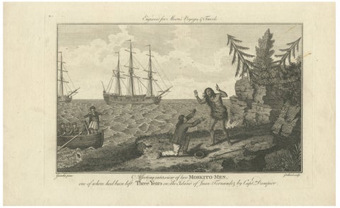
Moskito Men Reunion, Juan Fernandez Island, Dampier Voyage Engraving, ca.1789
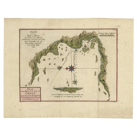
Chile Coast Bay Map, Antique 1749 Chart by Anson from Voyage Around the World
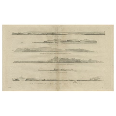
Antique Print with Coastal Views of Asia by Cook, c.1784
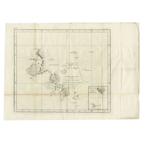
Antique Map of Kerguelens Island Coast by Cook, 1784
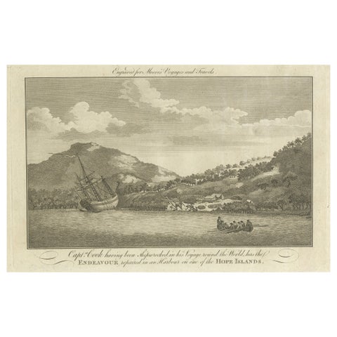
Repairing the Endeavour: Captain Cook's Maritime Ordeal at Hope Islands, ca.1770
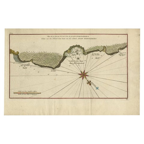
Juan Fernandez Island Map, Antique Chilean Chart circa 1750
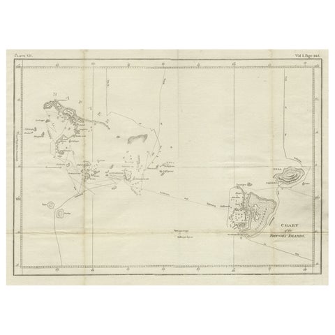
Antique Chart of the Friendly Islands or Nowadays Tonga, by Cook, 1784
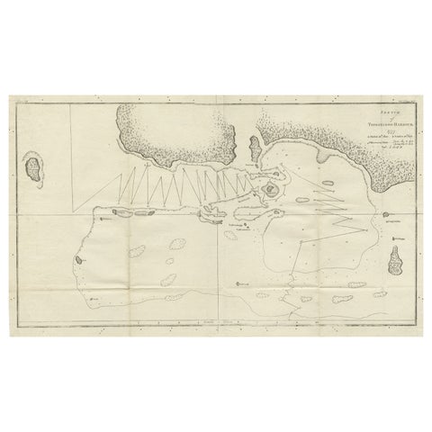
Antique Map of the Harbour of Tongatabu by Cook, C.1783
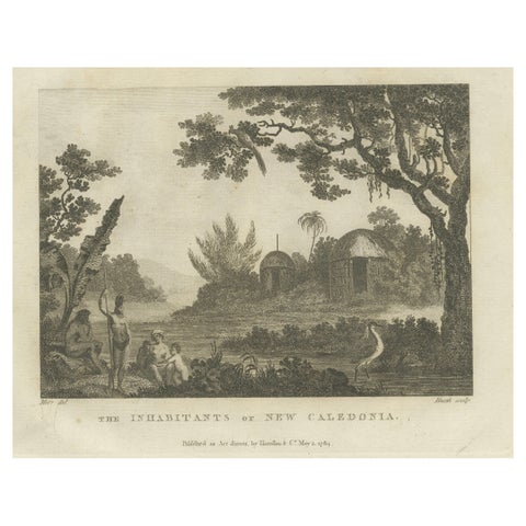
Serene Daily Life in New Caledonia: A Captured Moment from Cook's Voyages, 1784
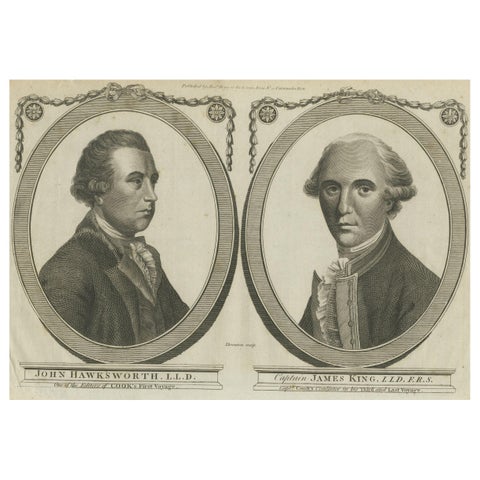
Engravings of Hawkesworth & Captain James King: Chroniclers of Capt. Cook, 1784
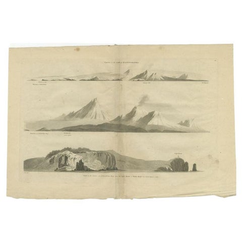
Antique Print with Coastal Views of Kamchatka in The Russian Far East, c.1784
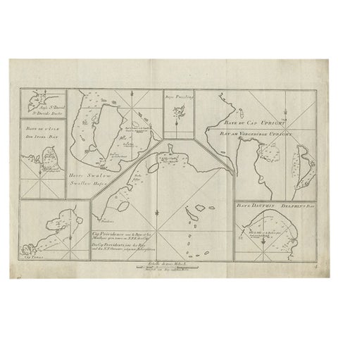
Antique Chart of CAP Providence and Other Charts by Hawkesworth, 1774
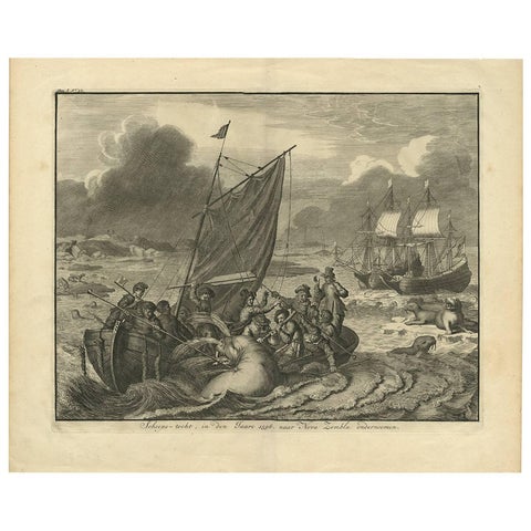
Antique Print of the Sea Voyage to Nova Zembla, Russia, circa 1730
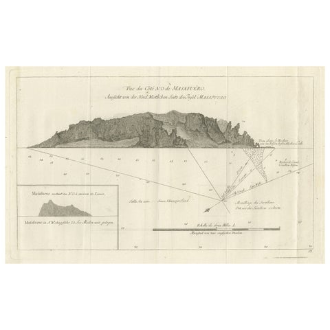
Old Print of the North-West Coast of Masafuero or Alejandro Selkirk Island, 1774
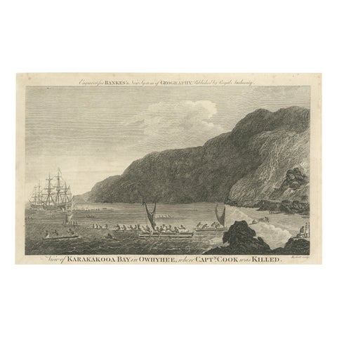
Final Voyage: The Death of Captain Cook at Kealakekua Bay, Hawaii, 1779
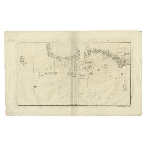
Original Antique Map of the Harbour of Tongatabu by Cook, 1784
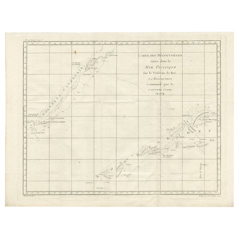
Antique Chart of the Voyage of Captain Cook by Benard, 1780
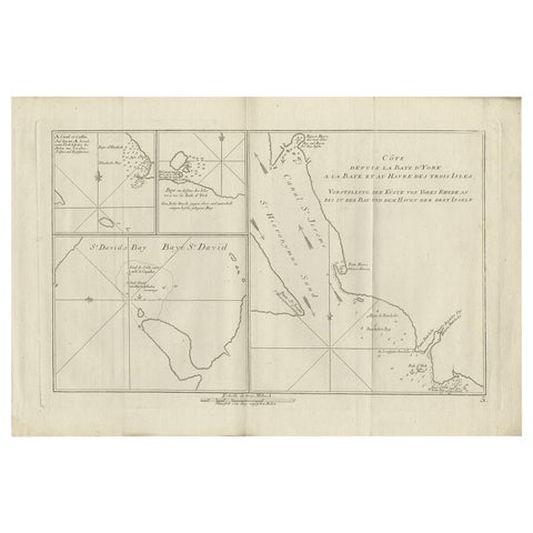
Antique Chart of York's Bay and Surroundings by Hawkesworth, 1774
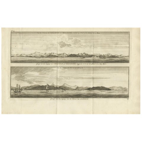
Antique Print of Zihuatanejo and the Harbour of Acapulco by Anson '1749'
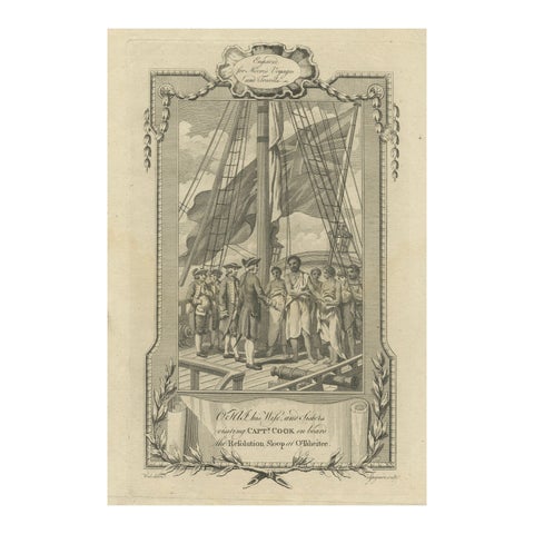
1778 Engraving: Captain Cook's Second Voyage, Meeting the Tahitians
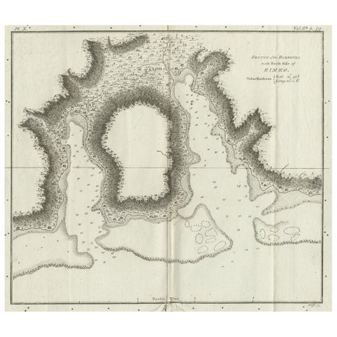
Antique Plan of the Harbour of Taloo by Cook, c.1781
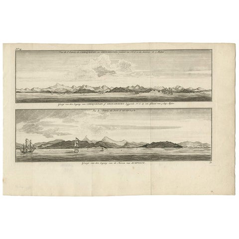
Antique Print of Zihuatanejo and the harbour of Acapulco by Anson (c.1760)
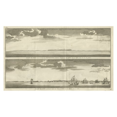
Antique Print with Views of Cape Blanco on the Patagonia / Argentina Coast, 1749
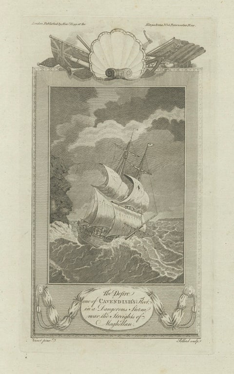
Cavendish’s Ship Desire in Storm near the Strait of Magellan, 18th Century
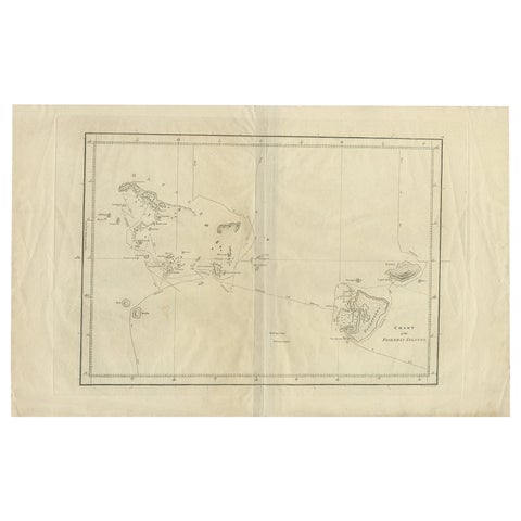
Antique Chart of the Friendly Islands or Tonga in the Pacific Ocean, 1785
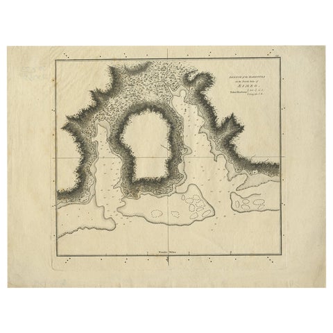
Antique Plan of the Harbour of Taloo by Cook, 1784
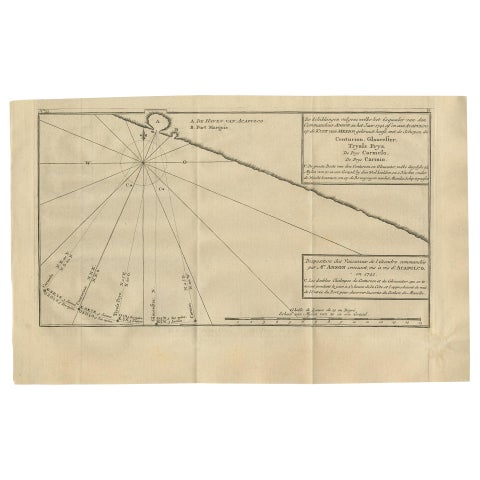
Antique Map of the Coast of Acapulco by Anson, 1749
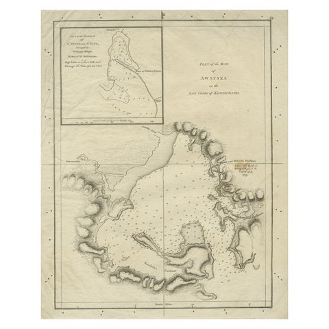
Old Map of Awatska Bay on the Coast of Kamchatka Peninsula, Russia by Cook, 1784
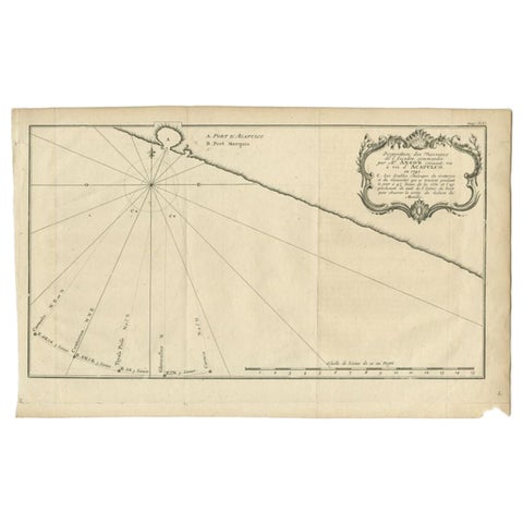
Antique Map of the Coast of Acapulco by Anson, c.1740
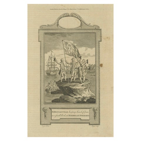
Bougainville's Claim in the Magellan Straits, circa 1767
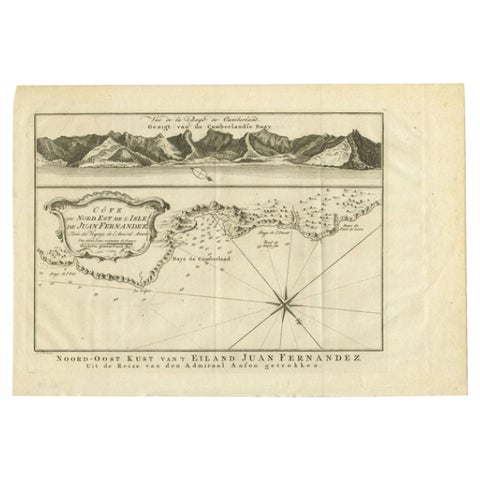
Antique Map of the Coast of Juan Fernandez by Van Schley, 1757
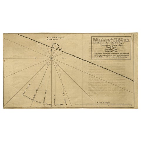
Navigational Chart of Mexico's Coast, with Acapulco and Port Marquis, 1748
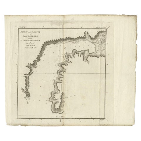
Antique Map of the Harbour of Samganoodha by Cook, c.1781
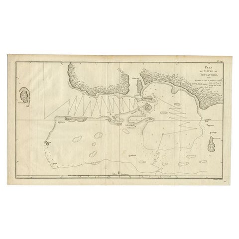
Antique Map of the Northern Coast of Tongatapu by Benard, c.1785
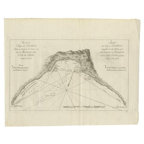
Antique Map of a Bay Nearby Makassar, Celebes 'Sulawesi)' by Hawkesworth, 1774