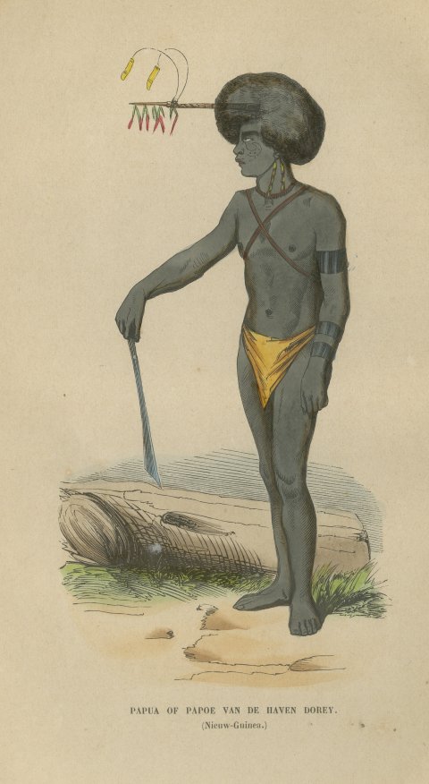
Voyages of discovery
Charts and views from the great voyage accounts: Captain Cook, Anson, Hawkesworth, Bougainville, Dampier and Dumont d'Urville, with the first surveys of the Pacific islands, New Zealand, Australia and the far north.
6 pieces
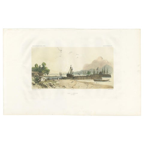
Antique Print of the Port of Ambon by D'Urville, circa 1850
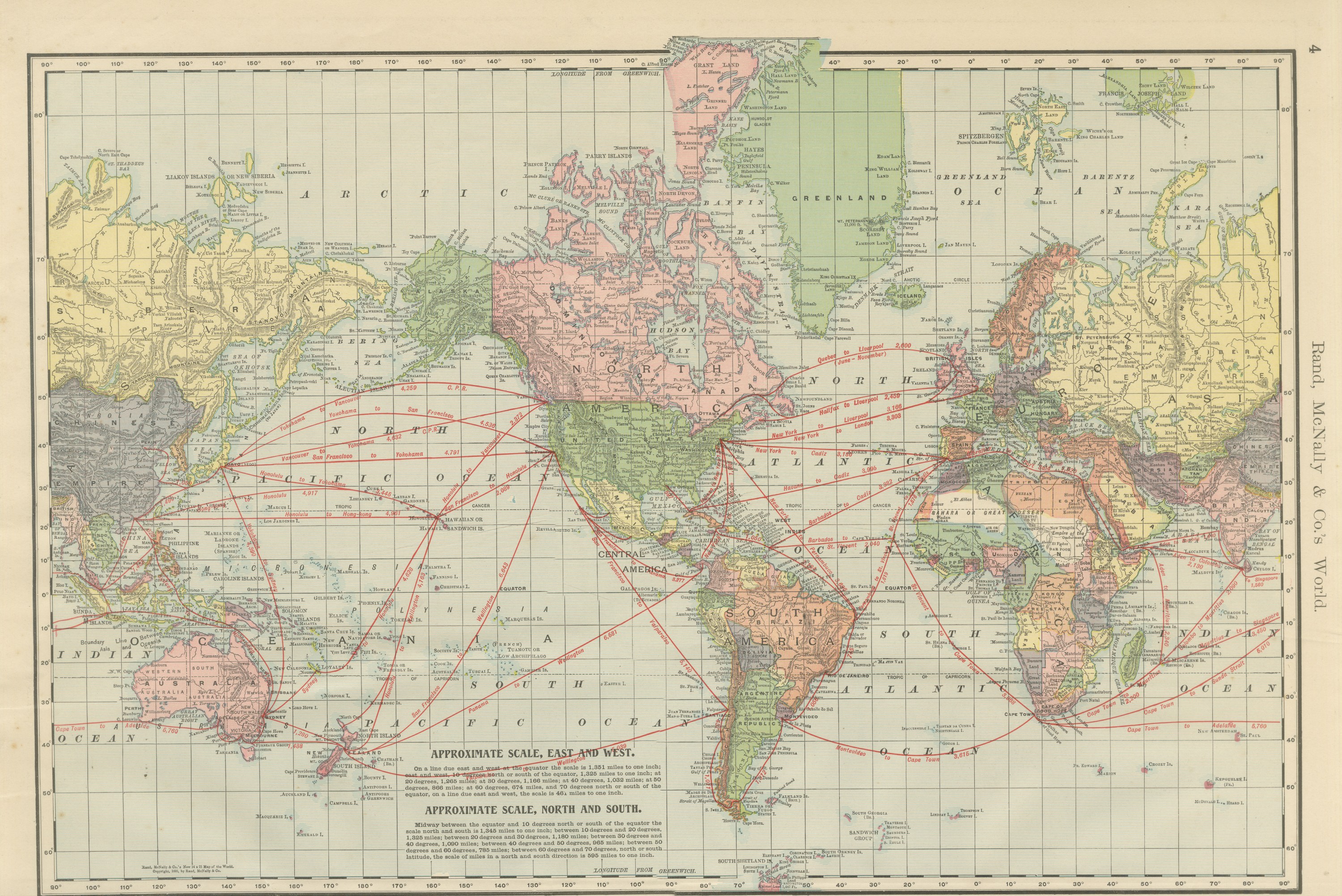
Antique Map of the World, with Steamship Routes, Rand McNally, 1899
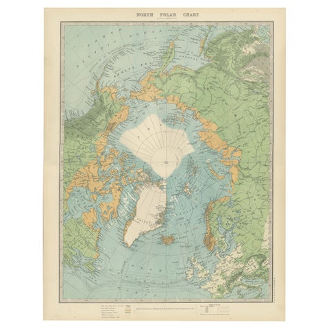
Vintage North Polar Chart, Greenland & Arctic Exploration Routes, 1903
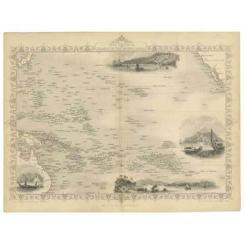
Map of Polynesia Highlighting Cultural Landscapes and Maritime Activities, 1851
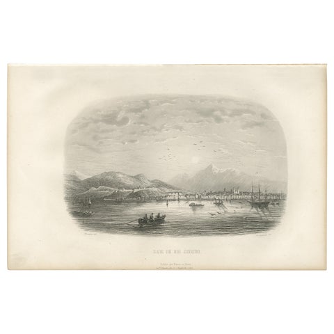
Antique Print of the Harbor of Rio de Janeiro by D'Urville (1853)