Voyages of discovery
Charts and views from the great voyage accounts: Captain Cook, Anson, Hawkesworth, Bougainville, Dampier and Dumont d'Urville, with the first surveys of the Pacific islands, New Zealand, Australia and the far north.
100 pieces
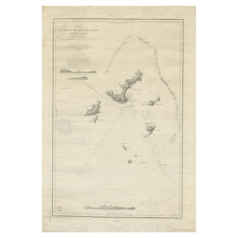
Large Chart of the Gambier Islands, Tuamotu Archipelago, French Polynesia, 1838
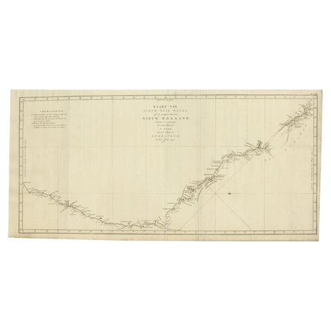
Old Map of Cook's Discovery and Charting of the East Coast of Australia, 1803
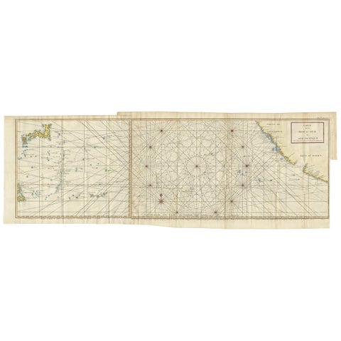
Antique Chart of the Mid-Pacific Ocean by Anson, c.1784
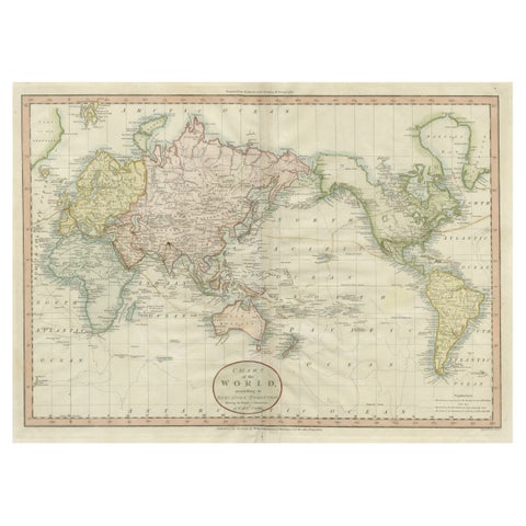
Attractive Antique Map of the World as Planisphere, Shows Cook's Voyages, 1799
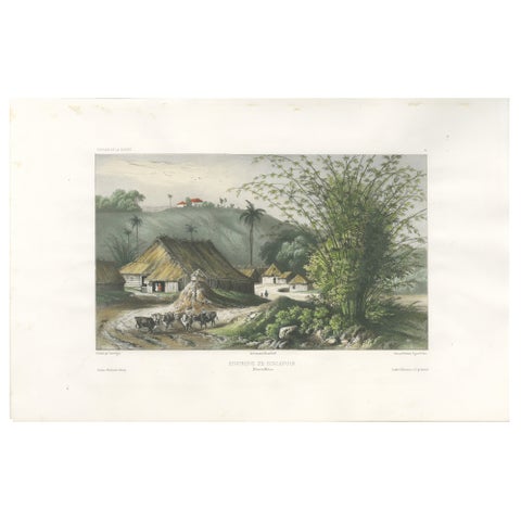
Singapore Environs View, French Exploration Lithograph, La Bonite Voyage, 1845
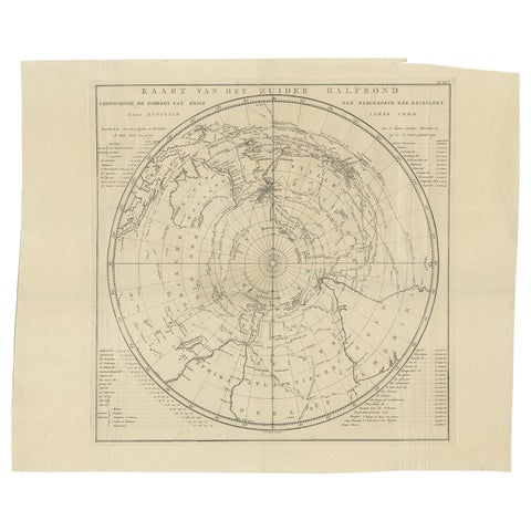
Antique Chart of the Southern Pole, Showing Three Routes of Captain Cook, 1803
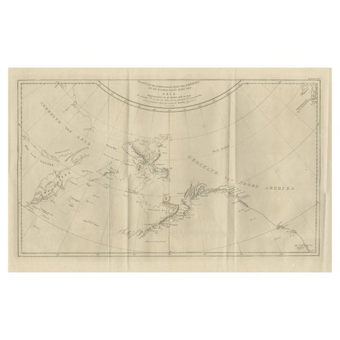
Old Map Showing the Tracks of Cook Between North America and Asia's Coast, 1803
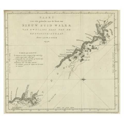
Original Copper Engraving of the Northeast Coast of Australia, 1803
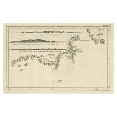
Antique Coastal Views and a Map of Van Diemens Land (Tasmania), Australia, 1803
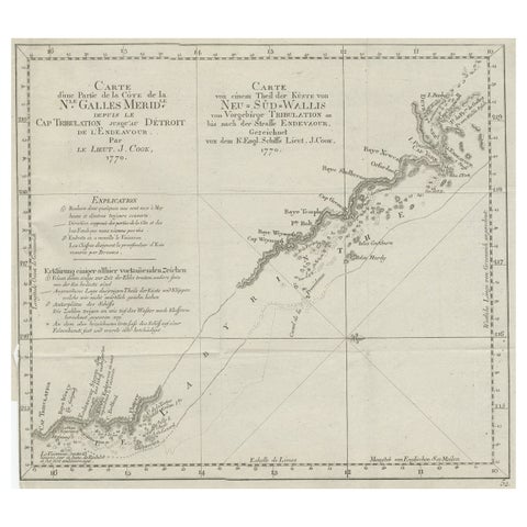
Old Chart of the North-Eastern Coast of Australia Discovered by Cook, 1774
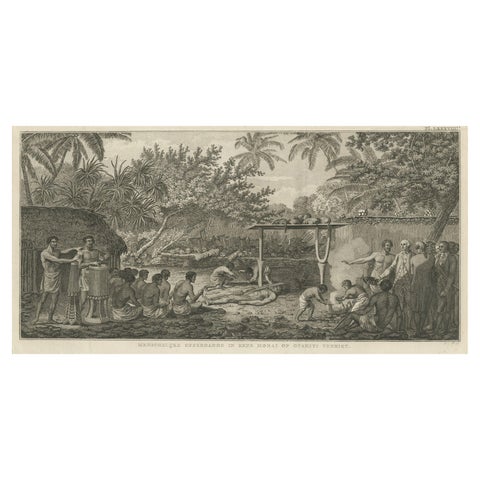
Human Sacrifice in a Morai, Tahiti, Cook Voyage Engraving c.1795
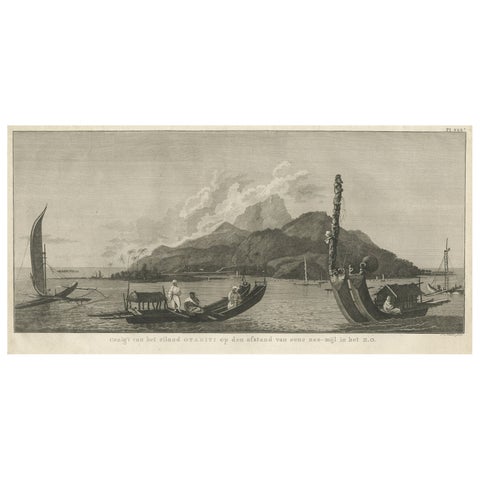
View of the Island of Tahiti, with Outrigger Canoes and Sailing Catamarans, 1803
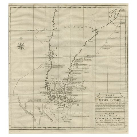
Antique Map of Tracks of Anson's Ships around South America & Cape Horn, 1749
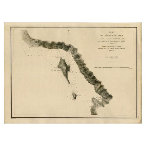
Antique Map of the Coast of New Ireland, Earlier Part of German New Guinea, 1833
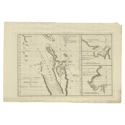
Detailed Map of New Zealand Showing the Route of Capt. Cook's First Voyage, 1803
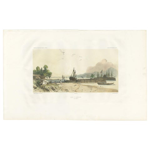
Antique Print of the Port of Ambon by D'Urville, circa 1850
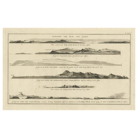
Dutch Antique Engraving with Coastal Views of Asia by Cook, 1803
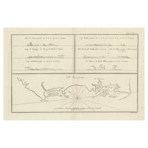
Antique Map of New Ireland (Pacific) with Coastal Profiles, Cook Voyages, 1774
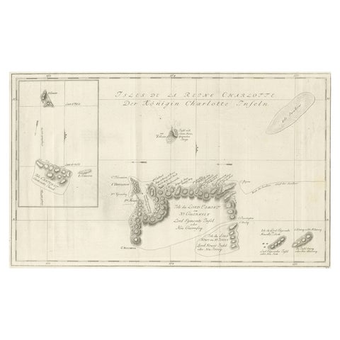
Original Antique Chart of the Santa Cruz Islands, 1774
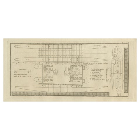
Old Drawing or Plan of a Proa of Amsterdam Island, Now Tongatapu, Tonga, 1803
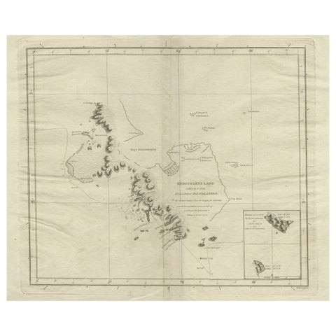
Antique Map of Kerguelens Island Coast in the Indian Ocean by Cook, 1785
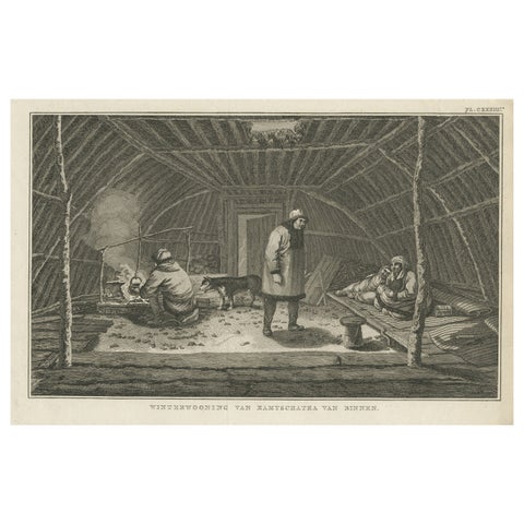
Interior of Winter House, Kamchatka, Cook Voyage Engraving c.1803
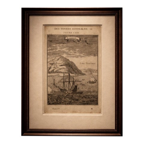
Antique Engraving Cocos Island, Maritime Scene, Manesson Mallet, 1683
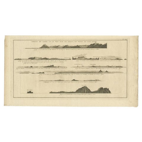
Antique Print with Coastal Views of Islands Near The American Coast by Cook
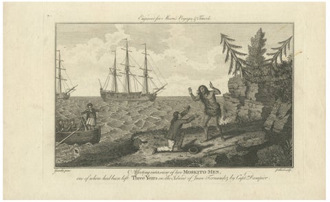
Moskito Men Reunion, Juan Fernandez Island, Dampier Voyage Engraving, ca.1789
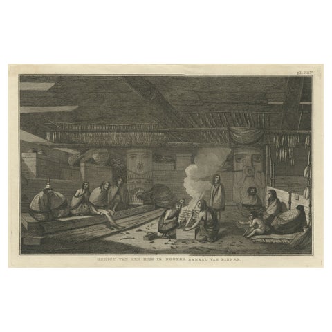
Interior of a Nootka House, Vancouver Island, Cook Voyage Engraving c.1795
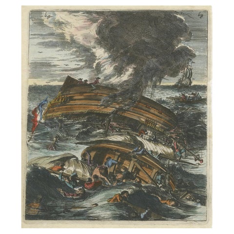
Capsizing Warships, Hand-Colored Etching of Schouten’s East Indian Voyage, 1676
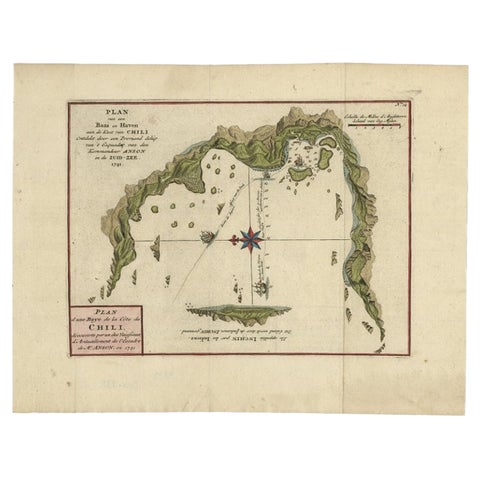
Chile Coast Bay Map, Antique 1749 Chart by Anson from Voyage Around the World
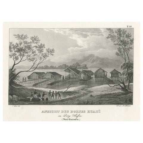
Original Lithograph with a Scene of a Village and Harbour in New Guinea, c.1836
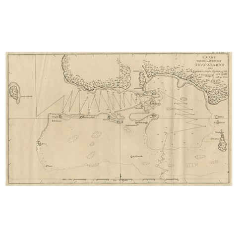
Antique Map of the Harbour of Tongatabu, One of the Tonga Islands, 1803
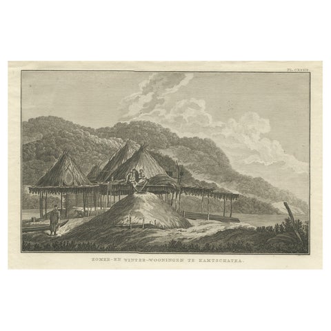
Summer & Winter Houses, Kamchatka, Cook Voyage Engraving c.1803
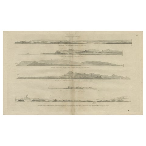
Antique Print with Coastal Views of Asia by Cook, c.1784
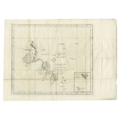
Antique Map of Kerguelens Island Coast by Cook, 1784
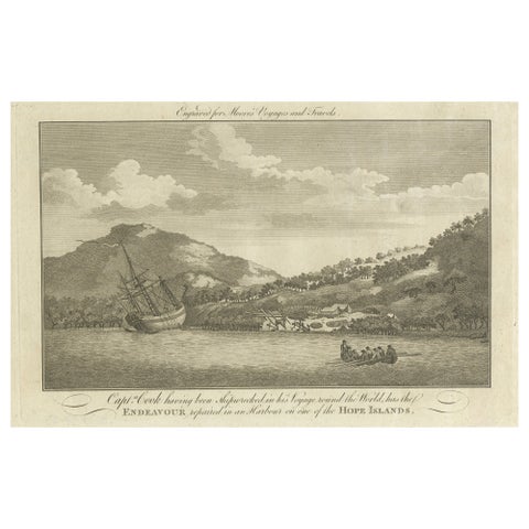
Repairing the Endeavour: Captain Cook's Maritime Ordeal at Hope Islands, ca.1770
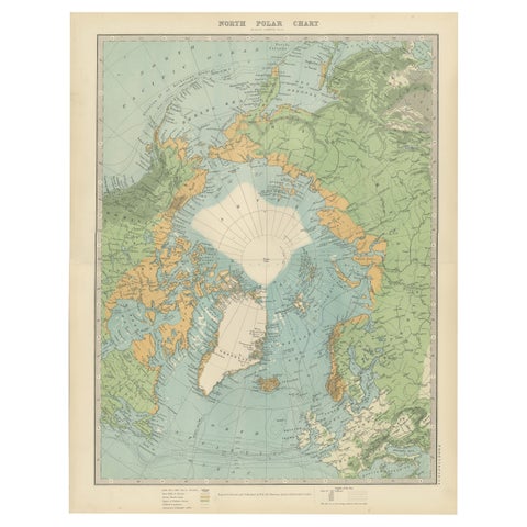
Vintage North Polar Chart, Greenland & Arctic Exploration Routes, 1903
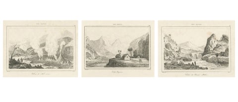
Hawaiian Volcanoes & Valleys, Antique Voyage Engravings, Renzi, Paris 1836
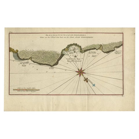
Juan Fernandez Island Map, Antique Chilean Chart circa 1750
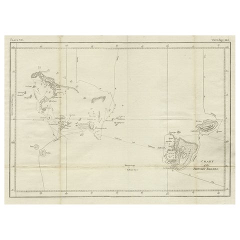
Antique Chart of the Friendly Islands or Nowadays Tonga, by Cook, 1784
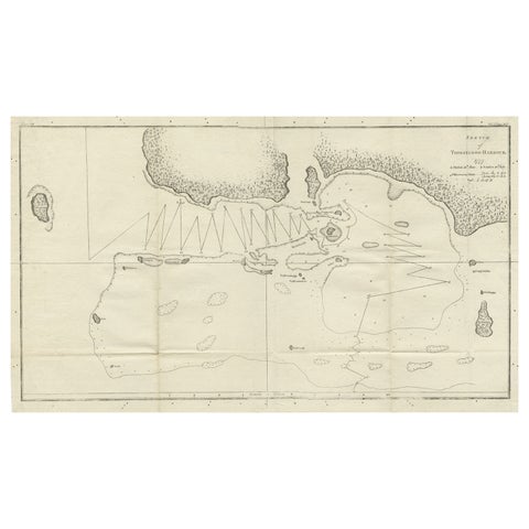
Antique Map of the Harbour of Tongatabu by Cook, C.1783
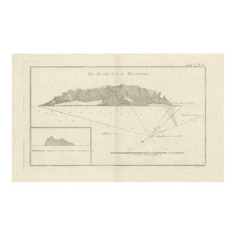
Antique Map of the Northwest Coast of Masafuera Island or Selkirk Island
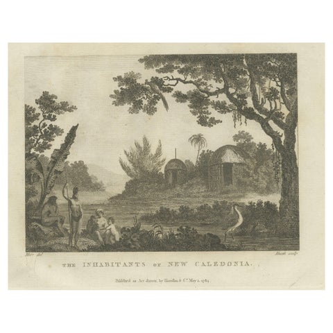
Serene Daily Life in New Caledonia: A Captured Moment from Cook's Voyages, 1784
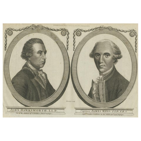
Engravings of Hawkesworth & Captain James King: Chroniclers of Capt. Cook, 1784
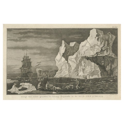
Old Print from Capt. Cooks Travels with Boats and a Ship in the South Sea, 1803
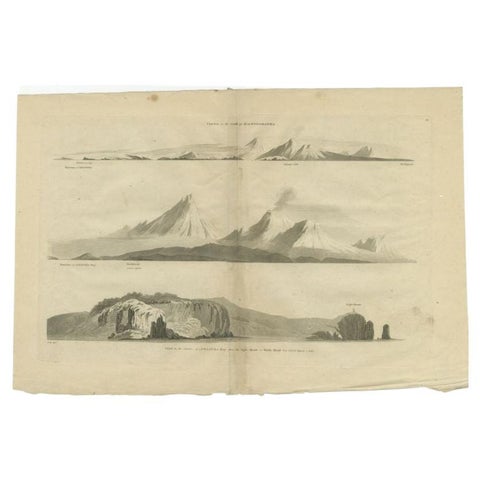
Antique Print with Coastal Views of Kamchatka in The Russian Far East, c.1784
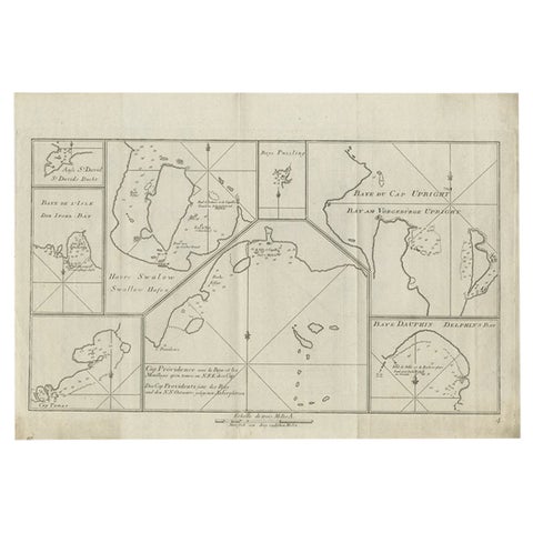
Antique Chart of CAP Providence and Other Charts by Hawkesworth, 1774
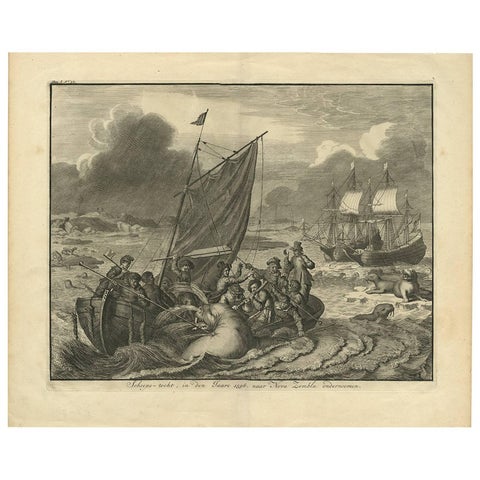
Antique Print of the Sea Voyage to Nova Zembla, Russia, circa 1730
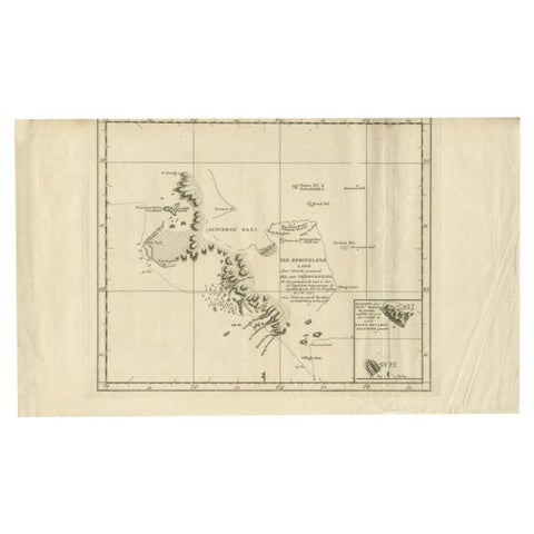
Antique Map of the Coast of Kerguelens Island by Cook, 1803
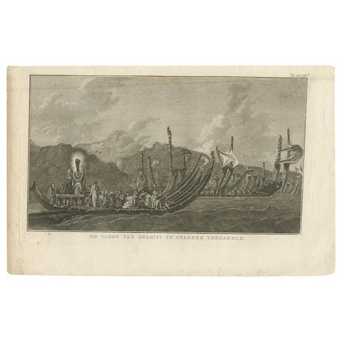
Antique Print of the Fleet of Proas of Tahiti by Cook, 1803
About voyages of discovery
The great voyages of the 1700s were published as soon as the ships came home, in large illustrated volumes that sold across Europe. Their plates are the first printed record of much of the Pacific: the charts drawn on board and the views made by the expedition artists.
Captain Cook's three voyages (1768 to 1780) produced the most famous of them, from the first charts of New Zealand and the east coast of Australia to Hawaii, Kamchatka and the north west coast of America. Anson's voyage round the world (1740 to 1744), Hawkesworth's account of the British voyages of the 1760s, and the French voyages of Bougainville, La Perouse and Dumont d'Urville complete the story.
Many voyage plates appeared in several editions and languages; each listing gives the date of the sheet itself.
Explore by place, voyage and subject
PLACES
VOYAGES AND MAKERS
Questions about voyages of discovery
Are Captain Cook prints originals?
Yes. Every Cook plate here was printed in its day for one of the official accounts of the voyages or one of their contemporary editions, not reproduced later. The listing gives the edition date.
Which voyage accounts do these prints come from?
Mostly the accounts of Cook's three voyages, Anson's voyage round the world, Hawkesworth's account of the voyages of Byron, Wallis and Carteret, and the French voyages of Bougainville and Dumont d'Urville.
What did the voyage charts show for the first time?
Among others the coasts of New Zealand and eastern Australia, the Society and Friendly Islands, Hawaii, and the north west coast of America from Nootka Sound to Alaska.