Close-ups
Framed and on the wall
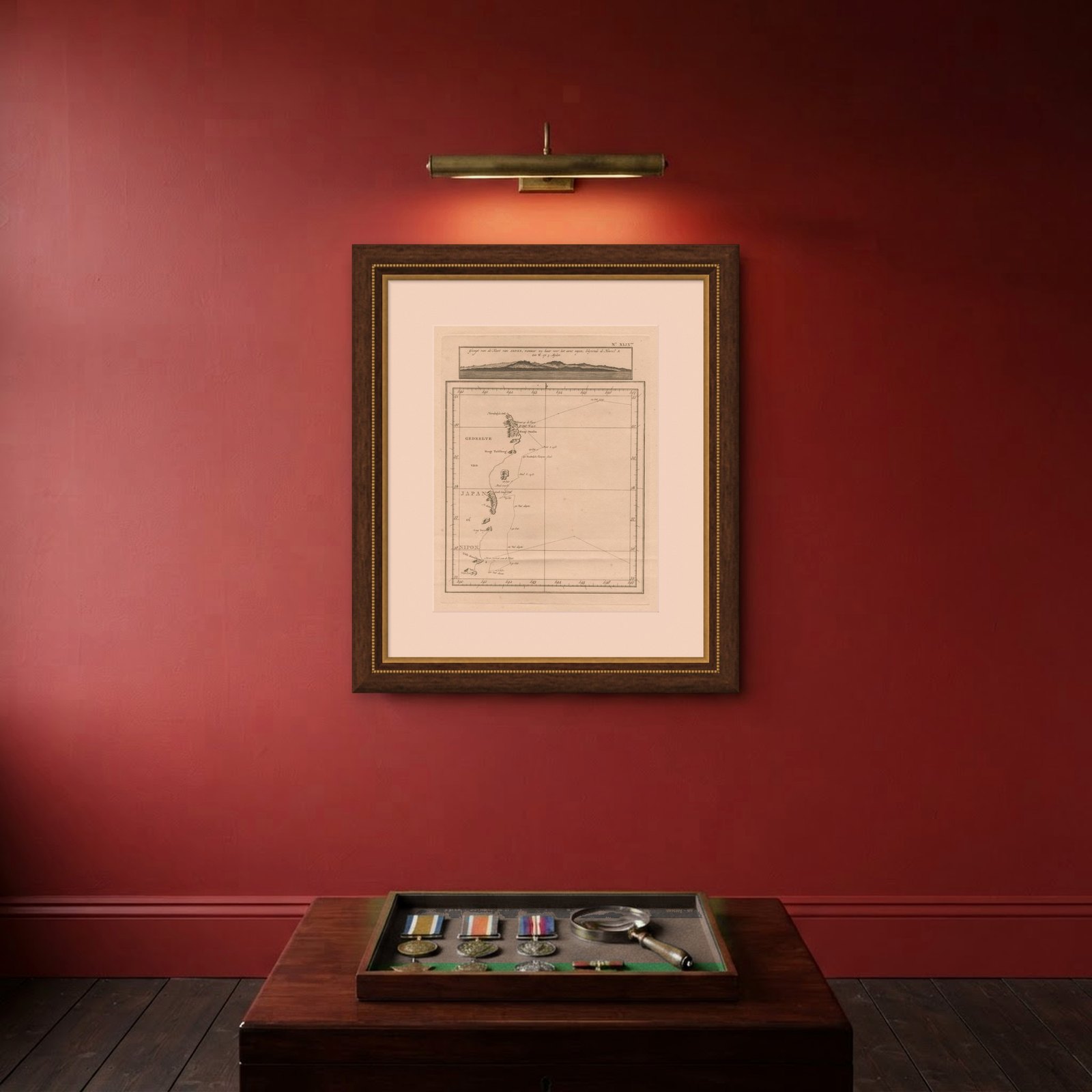

Frame and rooms are illustrations of how the piece could look; it is sold unframed unless the description says otherwise.
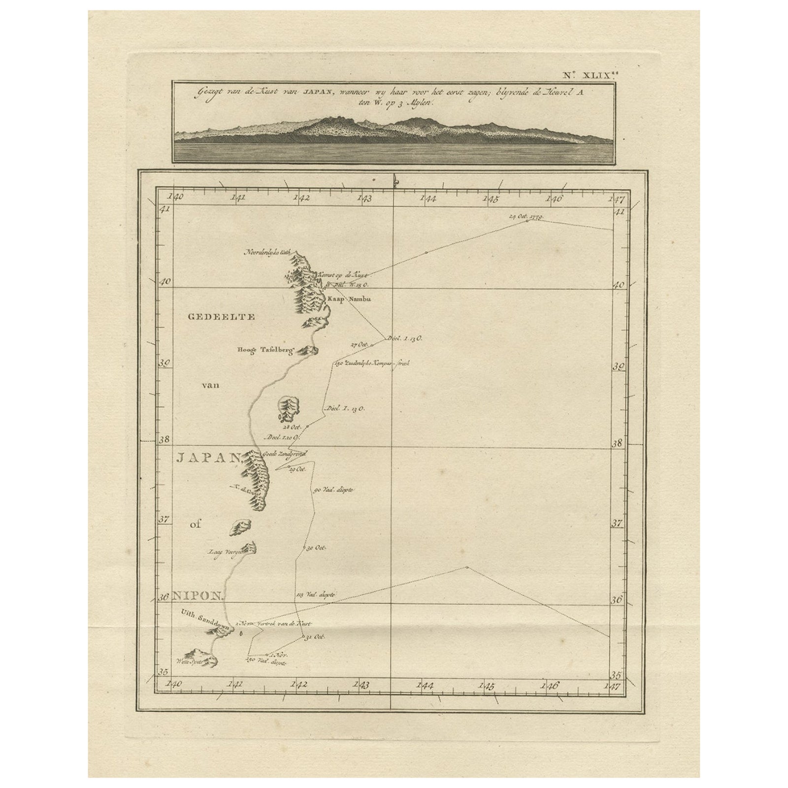
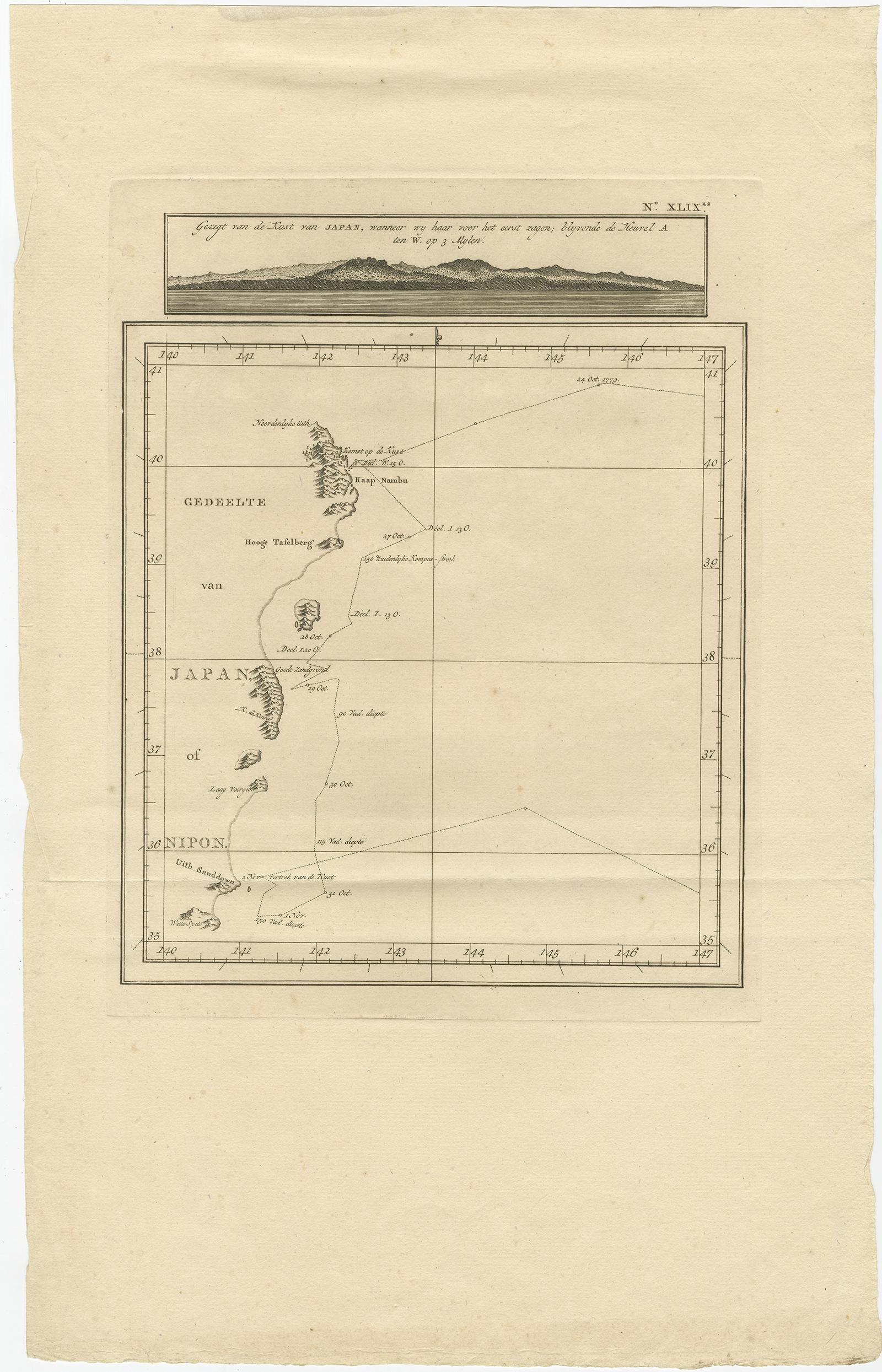
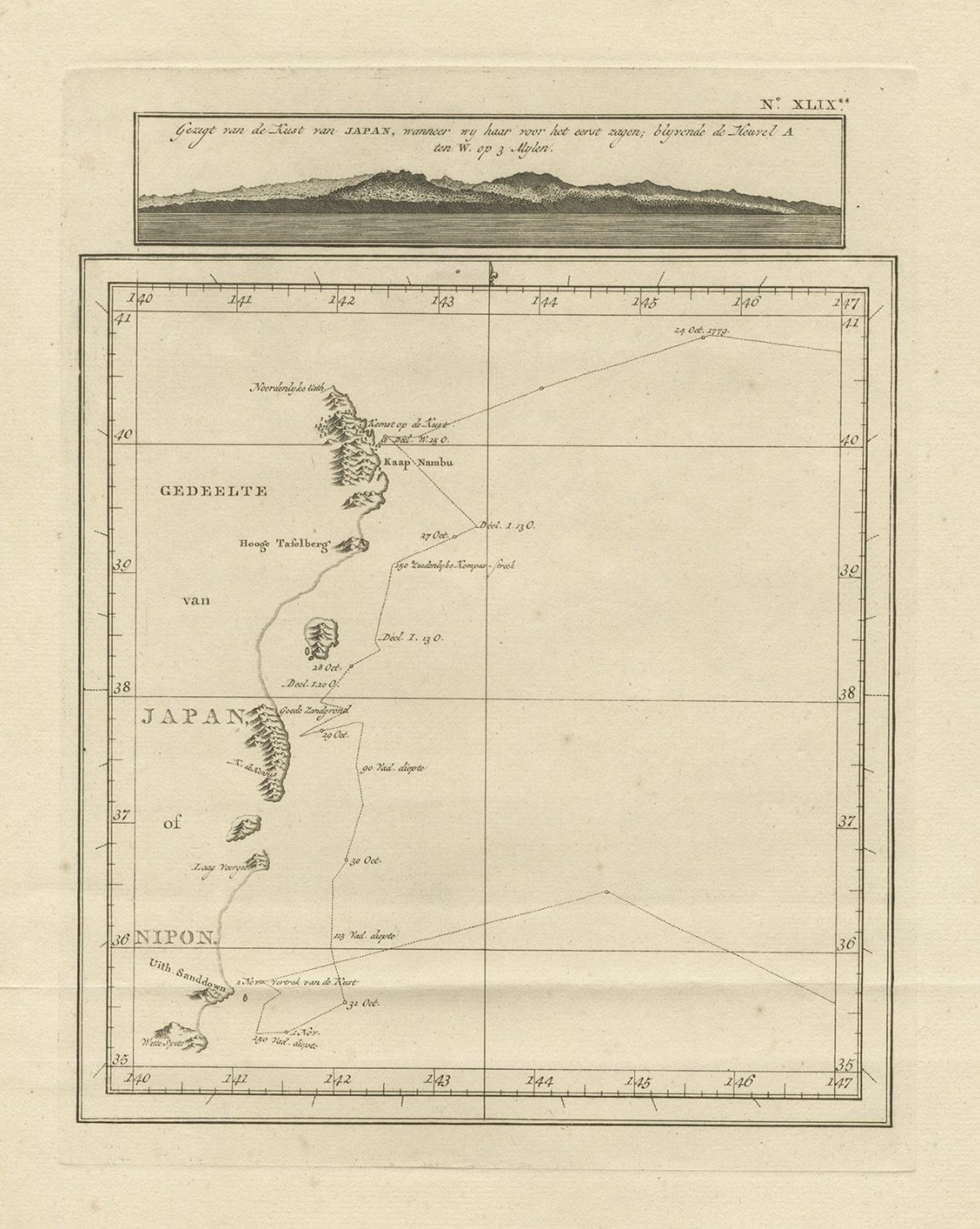
Map of the East Coast of Hanshu or Honshu & a View of the Japanese Coast, 1803
£440
$585 · €520
Original print, not a reproduction.
Ships worldwide from the Netherlands, flat, insured and tracked. 14-day returns. To buy, use Ask a question and we will reserve it for you.
- Date
- 1803
- Sheet size
- 17.1 × 10.6 in (43.5 × 27 cm)
- Condition
- Very good, general age-related toning and minor foxing. Please study image carefully.
- Collection
- Sea charts
- Era
- 1790 to 1849, Age of sail
- Stock no.
- f_27134902
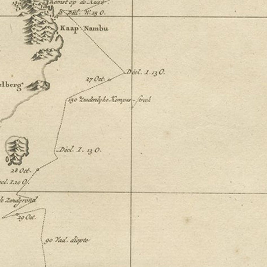
Antique map titled 'Gedeelte van Japan of Nipon'.
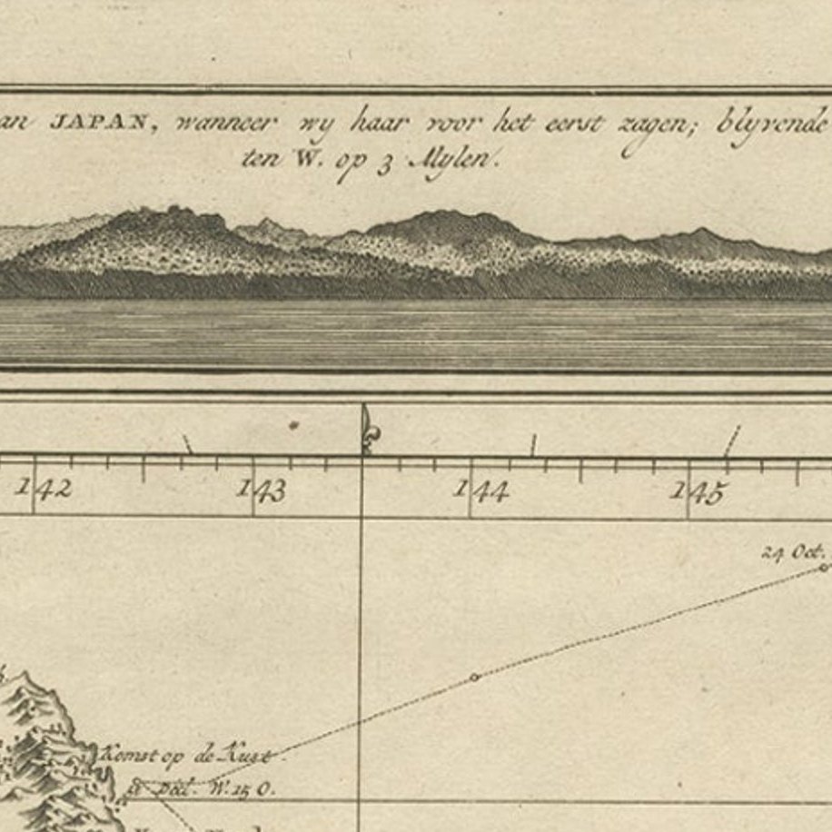
Map of the east coast of Hanshu, with a view of the Japanese coast titled 'Gezigt van de Kust van Japan, wanneer wij haar voor het eerst zagen'. Originates from 'Reizen Rondom de Waereld door James Cook (..)'.
Honshu, historically called Hondo, is the largest and most populous main island of Japan. It is located south of Hokkaido across the Tsugaru Strait, north of Shikoku across the Inland Sea, and northeast of Kyushu across the Kanmon Straits. The island separates the Sea of Japan, which lies to its north and west, from the North Pacific Ocean to the south and east. It is the seventh-largest island in the world, and the second-most populous after the Indonesian island of Java.
Artists and Engravers: Translated by J.D. Pasteur. Published by Honkoop, Allart en Van Cleef.
EXPLORE