Close-ups
Framed and on the wall
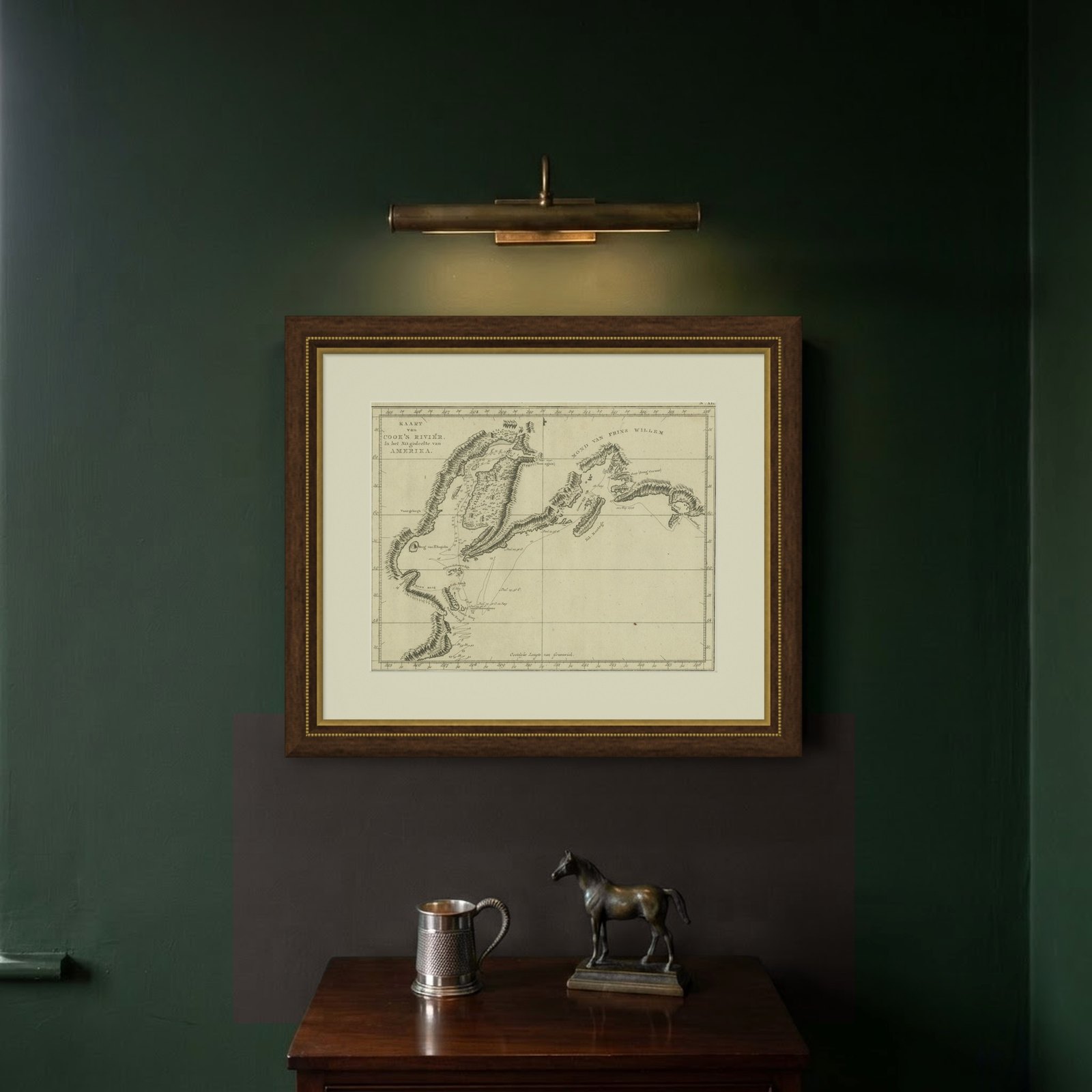
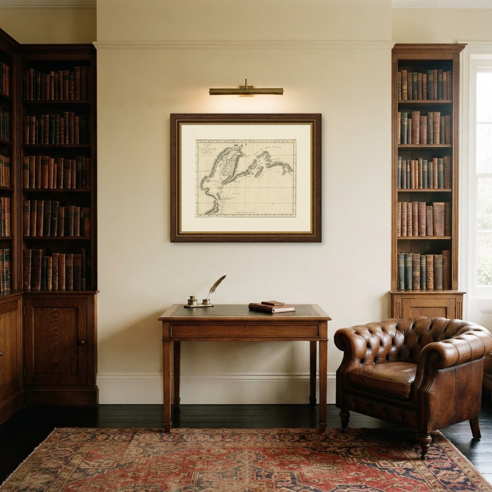
Frame and rooms are illustrations of how the piece could look; it is sold unframed unless the description says otherwise.
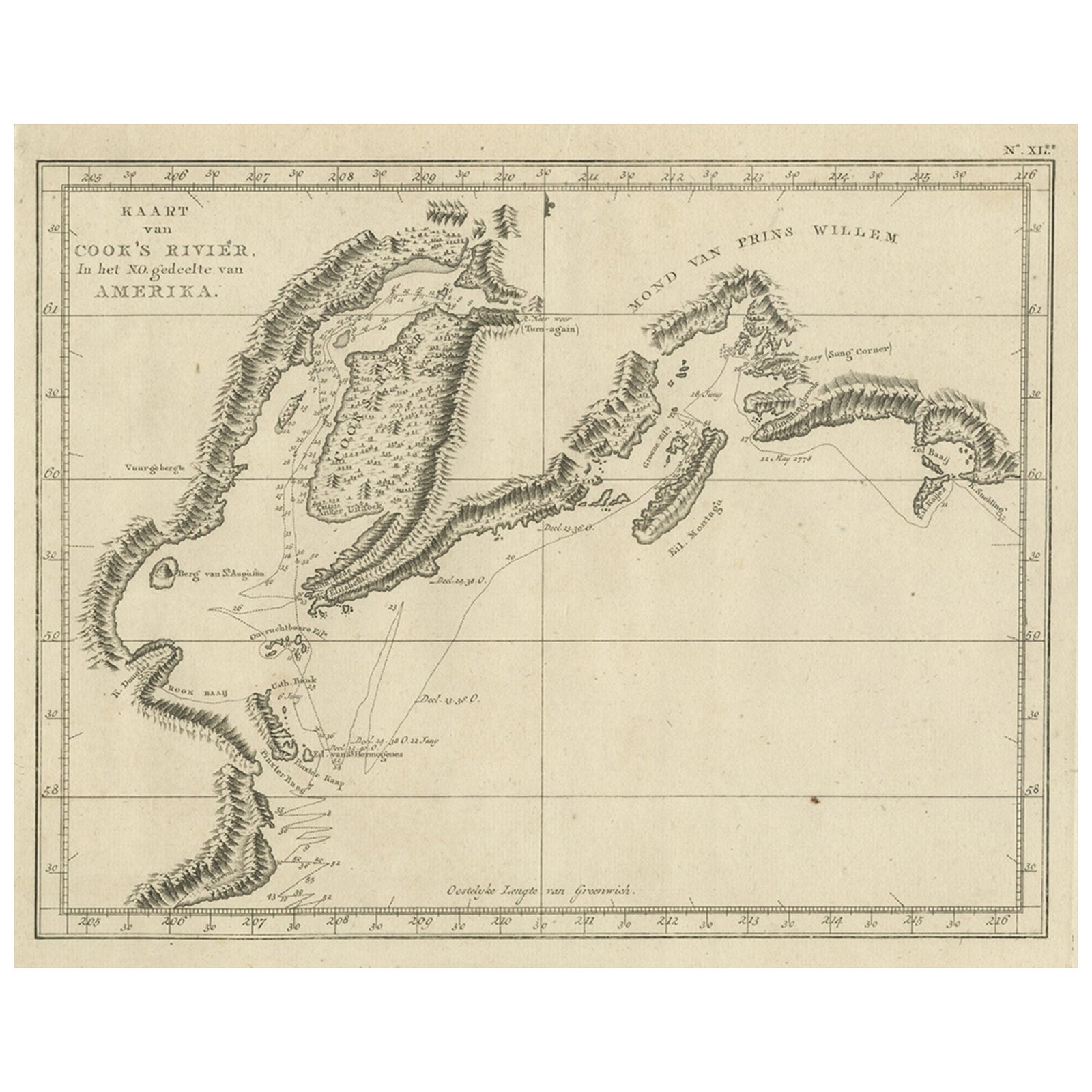
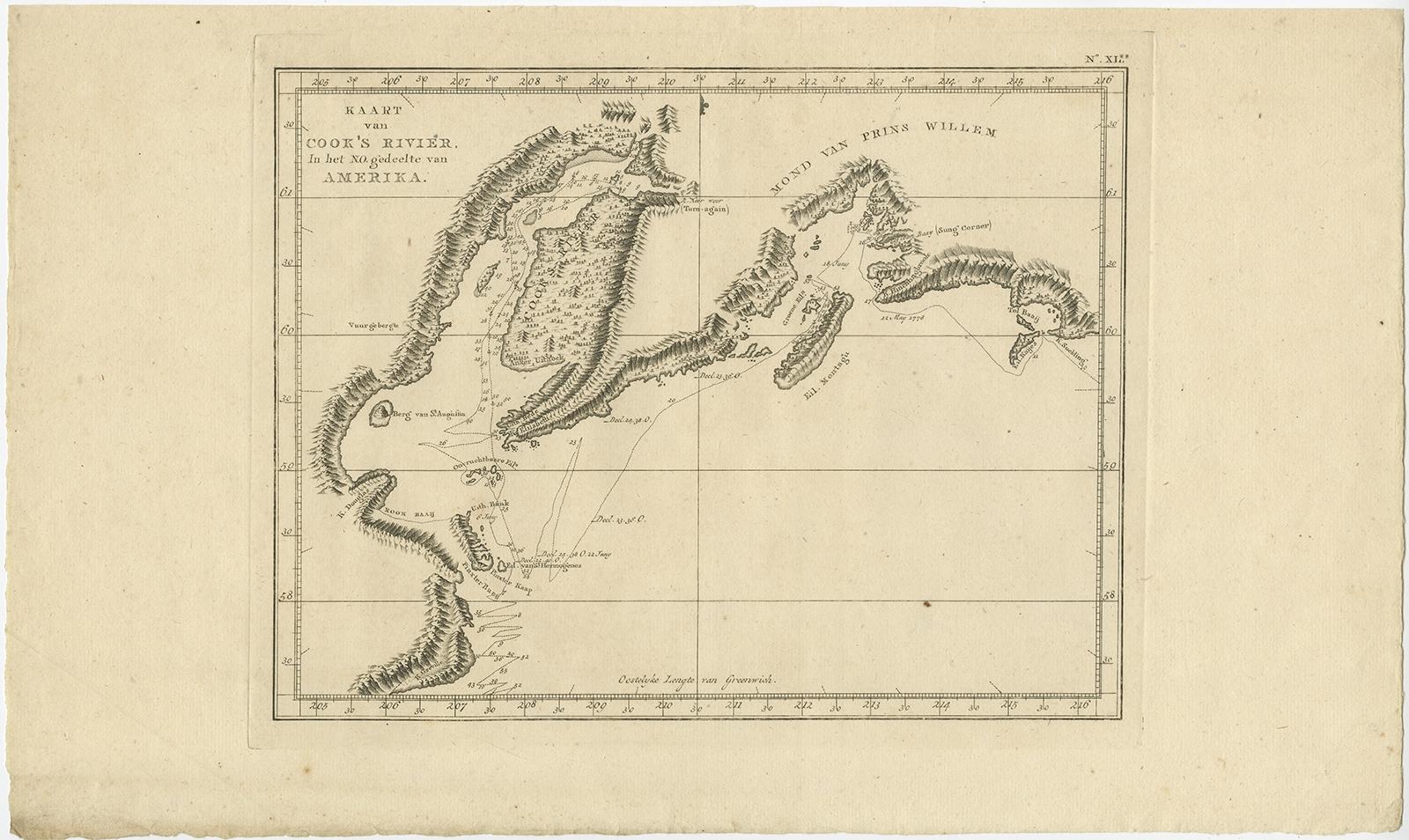
Original Chart Showing the Region between Cape Grenville and Cape Suckling, 1803
€570
$640 · £485
Original print, not a reproduction.
Ships worldwide from the Netherlands, flat, insured and tracked. 14-day returns. To buy, use Ask a question and we will reserve it for you.
- Date
- 1803
- Sheet size
- 11.6 × 19.5 in (29.5 × 49.5 cm)
- Condition
- Very good, general age-related toning and minor foxing. Please study image carefully.
- Collection
- Sea charts
- Era
- 1790 to 1849, Age of sail
- Stock no.
- f_27134942
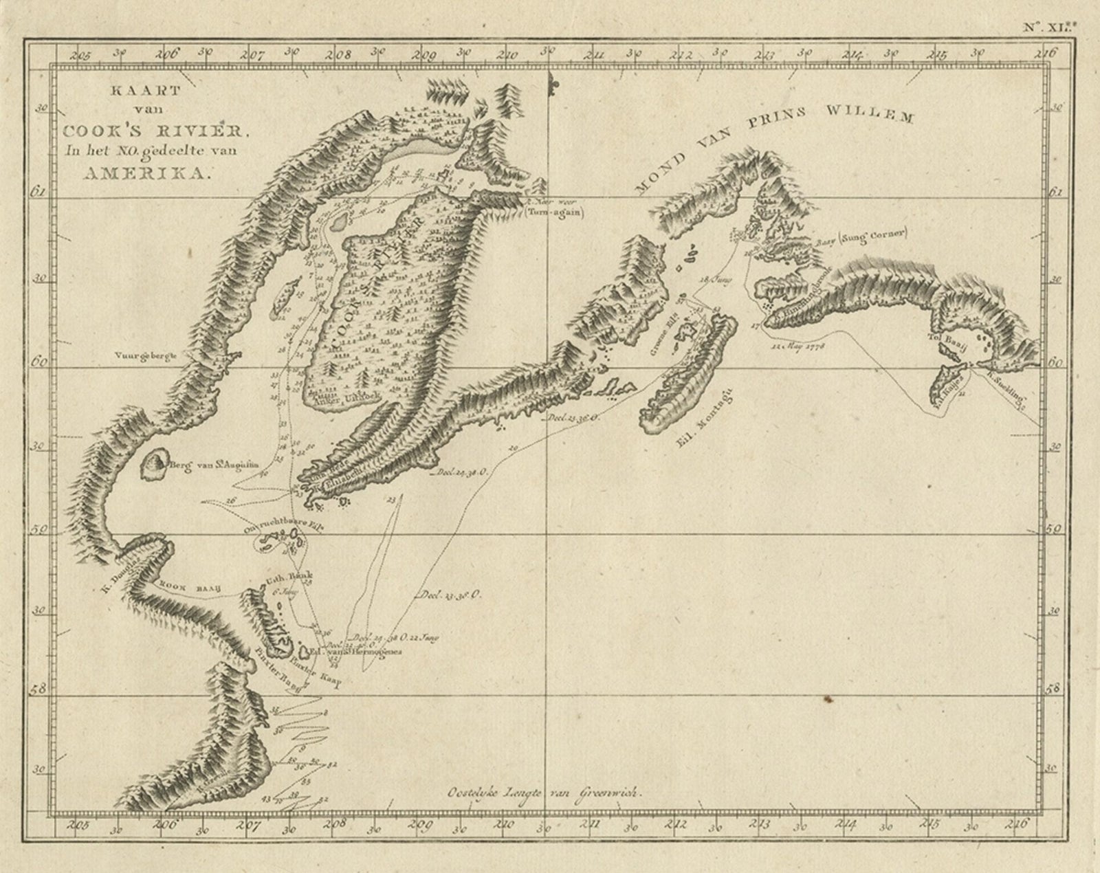
Antique map titled 'Kaart van Cook's Rivier in het N.O. gedeelte van Amerika'.
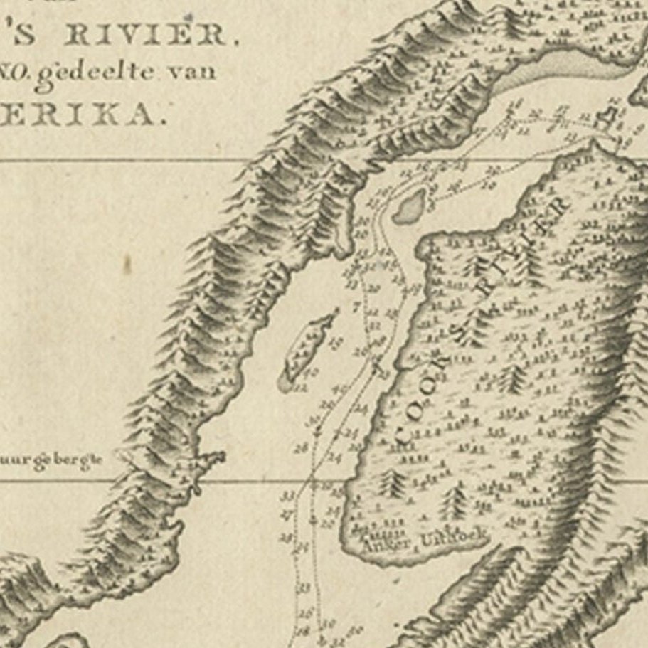
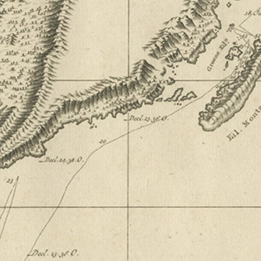
Chart showing the region between Cape Grenville and Cape Suckling, including Whitsuntide Bay, Cape Whitsunday, Smokey Bay, Cape Douglas, Mount St. Augustine, Volcano Mountain, R. Turn-again, Cook's River, Point Possession, Anchor Point, Point Beale Cape Elizabeth Montagu Isle, Prince William Sound, Snug Corner Bay, Comptrollers Bay and Cape Hinchingbrook. Originates from 'Reizen Rondom de Waereld door James Cook (..)'.
Artists and Engravers: Translated by J.D. Pasteur. Published by Honkoop, Allart en Van Cleef.