Close-ups
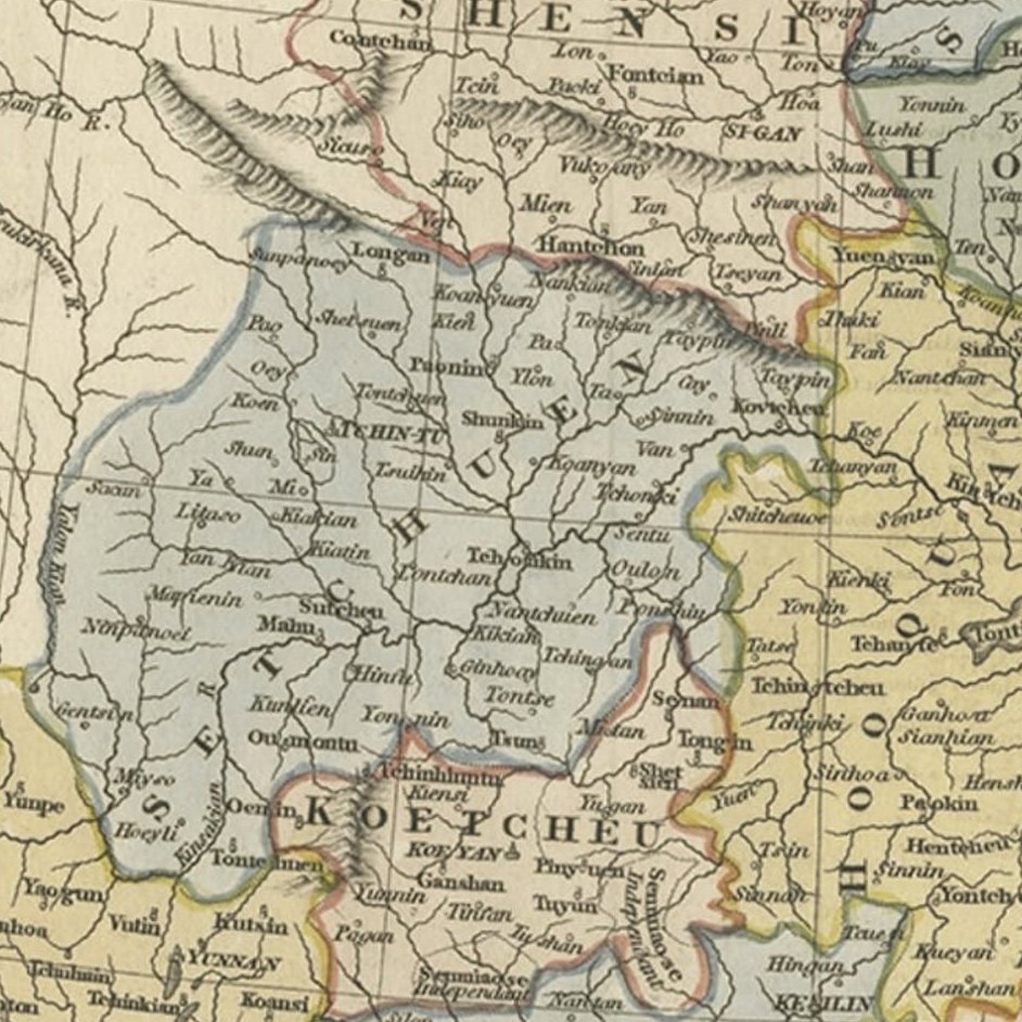
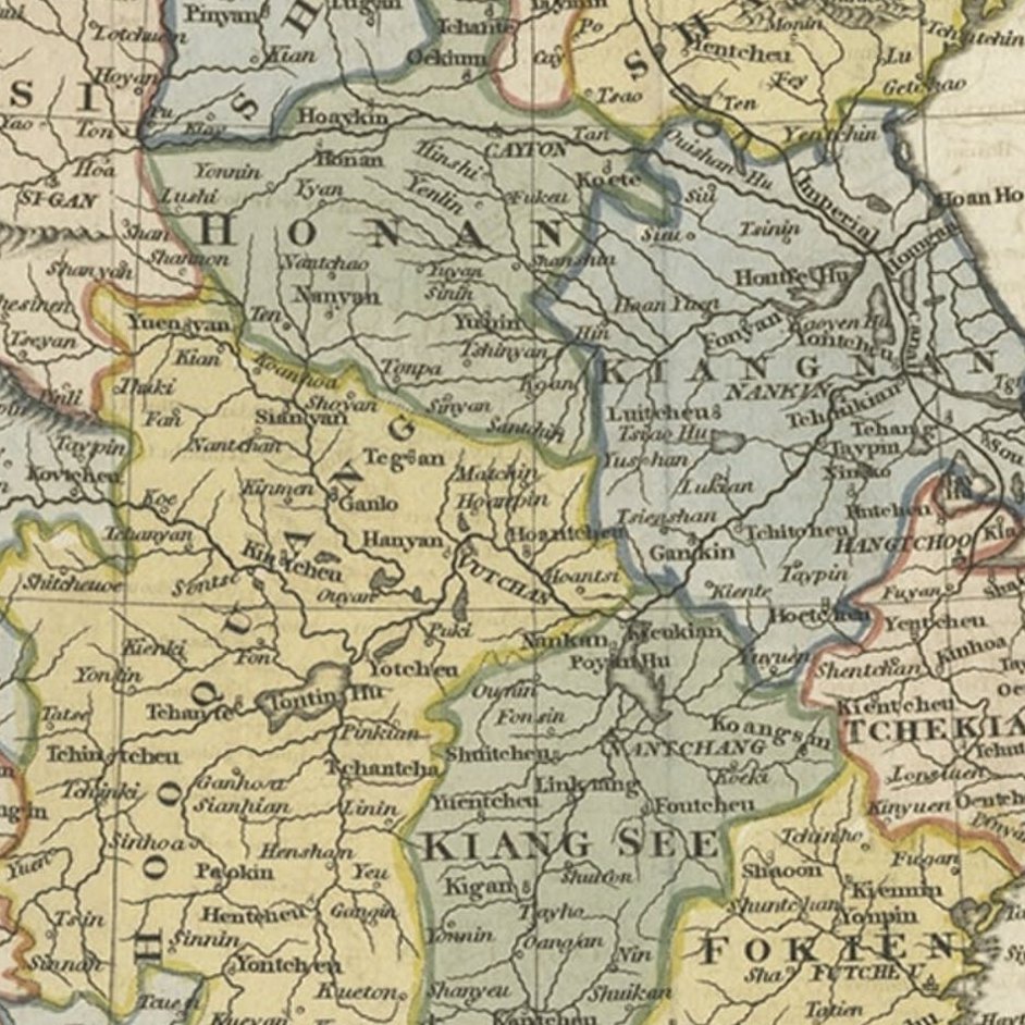
Framed and on the wall
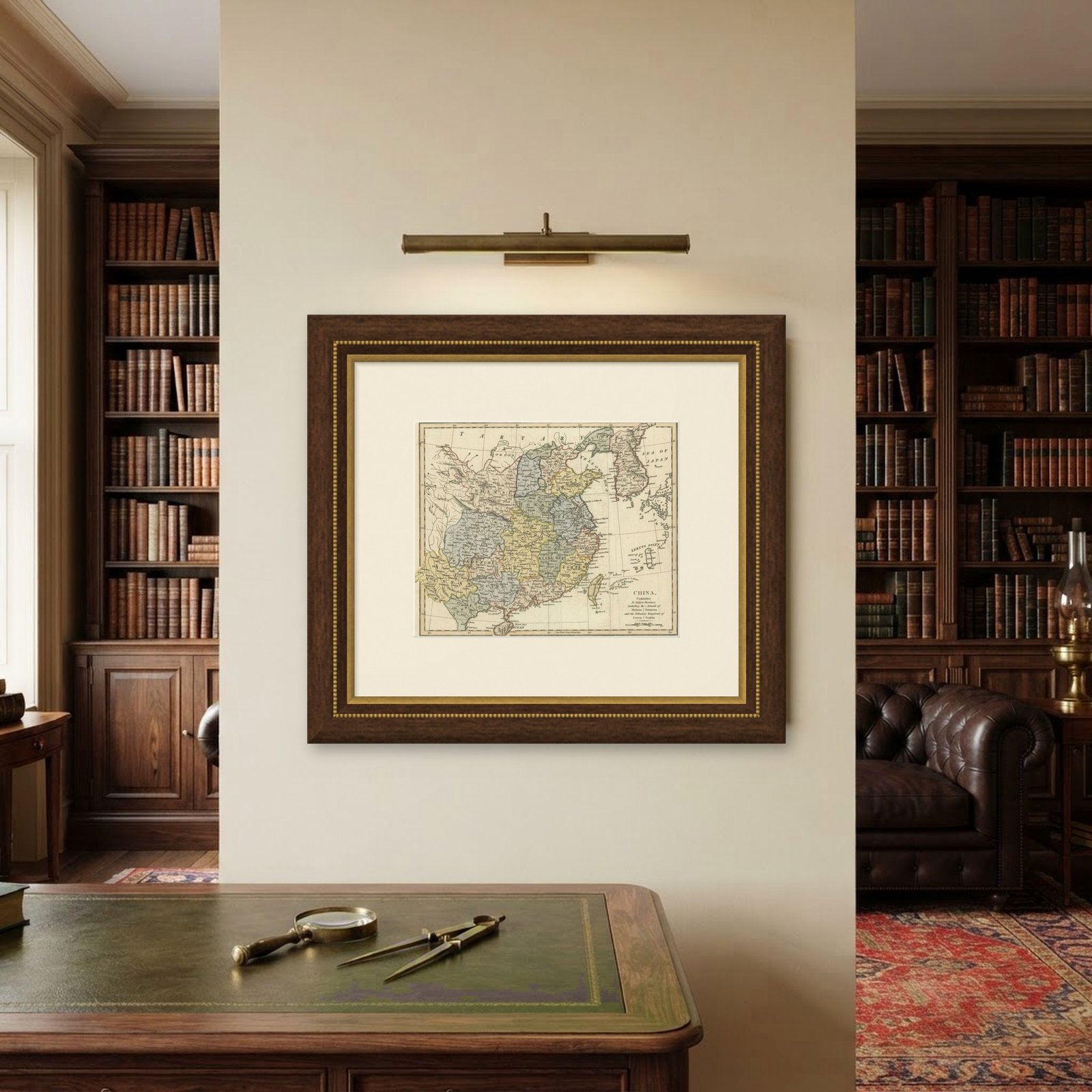
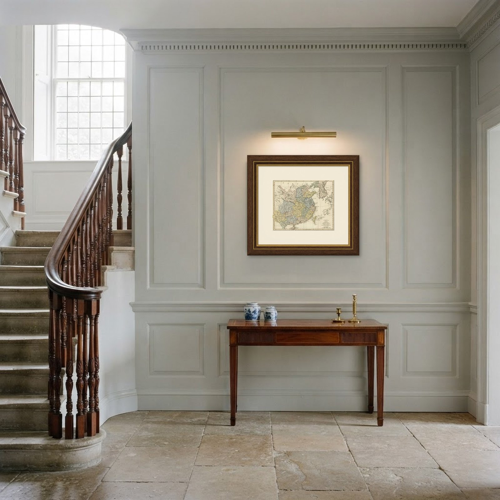
Frame and rooms are illustrations of how the piece could look; it is sold unframed unless the description says otherwise.
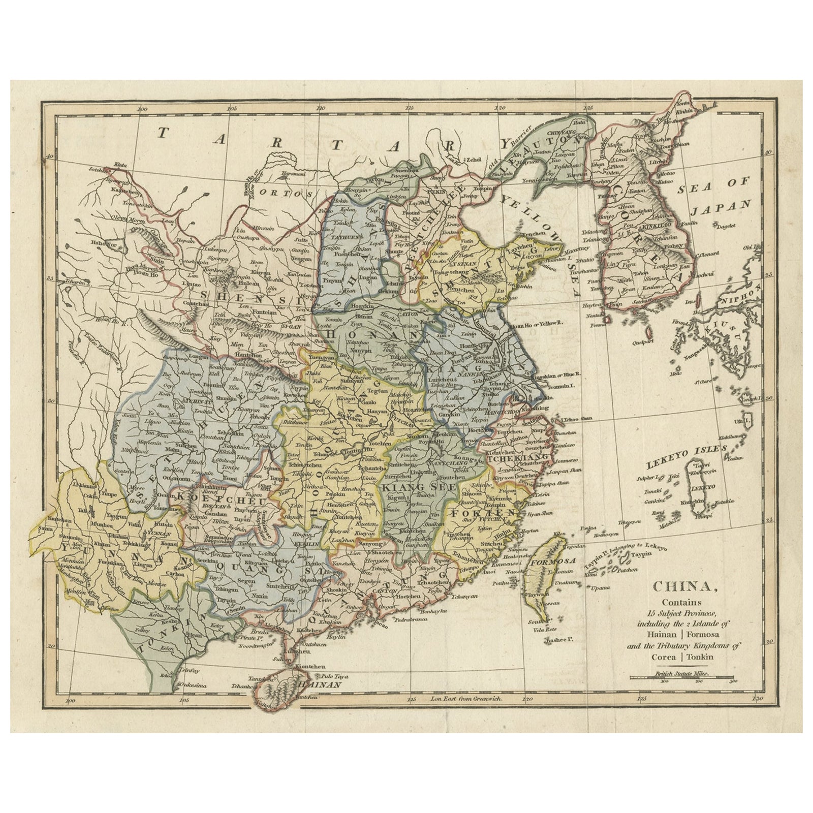
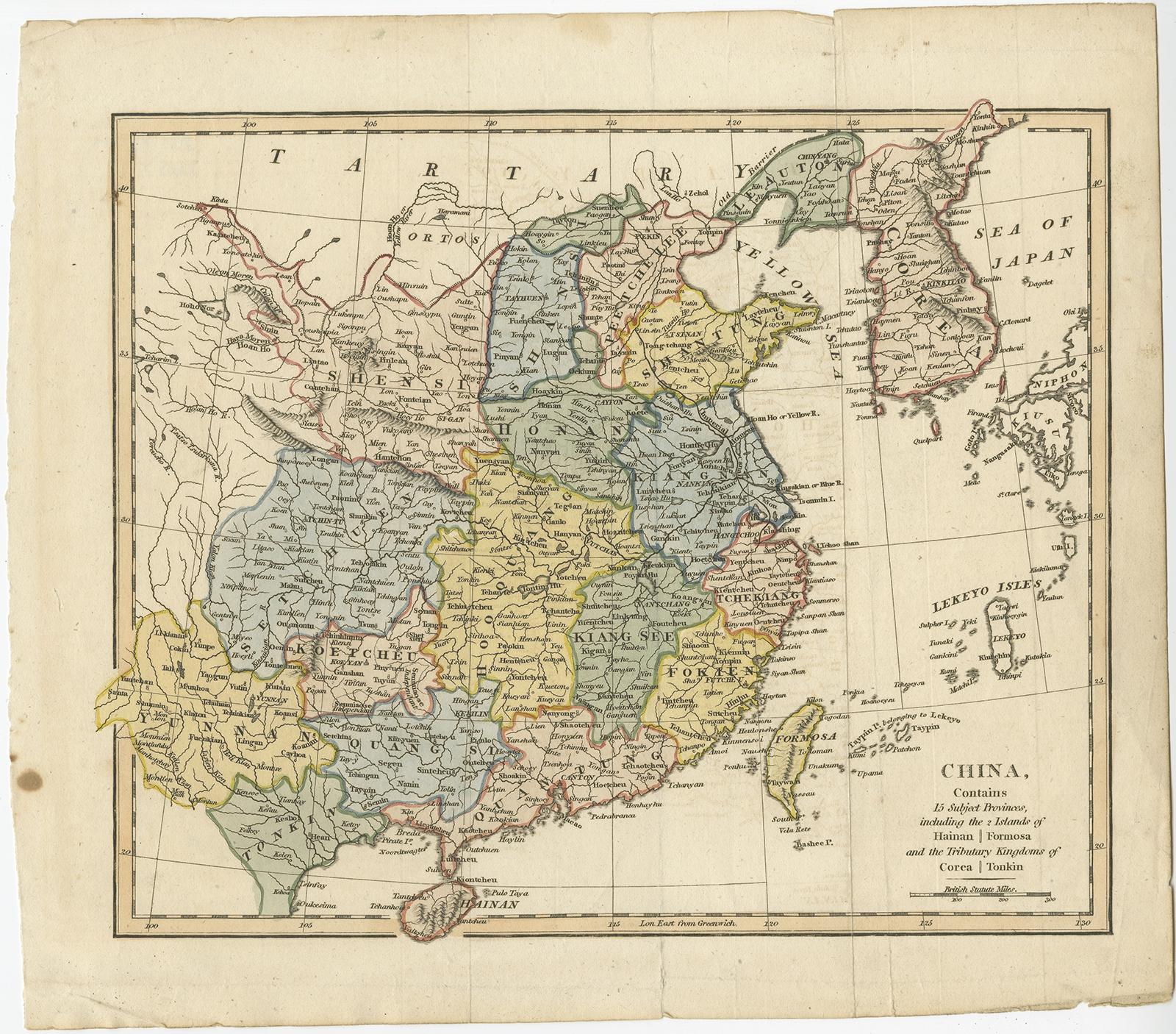
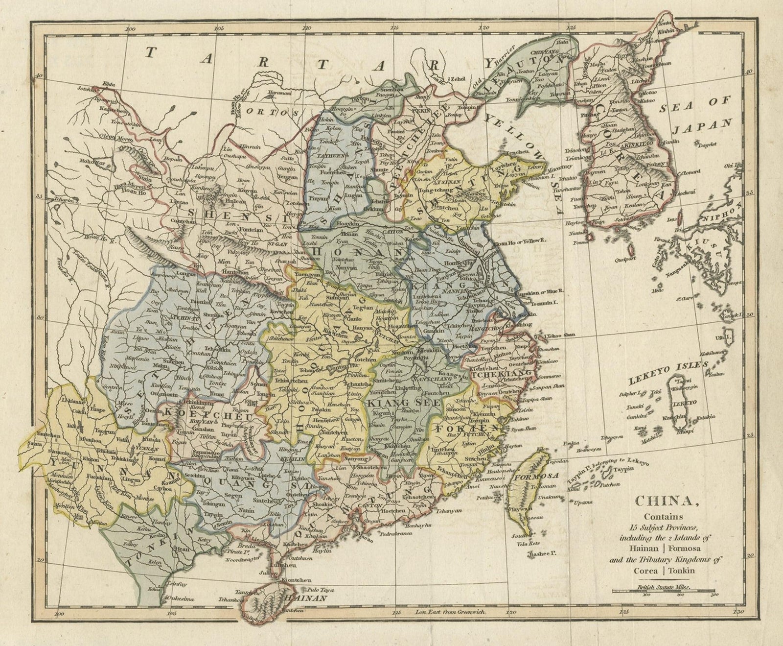
Original Old China Map, From Korea and the Sea of Japan to Teypin Island, 1803
$615
€550 · £465
Original print, not a reproduction.
Ships worldwide from the Netherlands, flat, insured and tracked. 14-day returns. To buy, use Ask a question and we will reserve it for you.
- Date
- 1803
- Sheet size
- 10.6 × 12 in (27 × 30.5 cm)
- Condition
- Good. General age-related toning. Few splits, please study image carefully.
- Collection
- Sea charts
- Era
- 1790 to 1849, Age of sail
- Stock no.
- f_27227182
Antique map titled 'China, Contains 15 Subject Provinces Including the 2 Islands of Hainan, Formosa and the Tributary Kingdoms of Corea, Tonkin'.
Old map depicting China, extending from Korea and the Sea of Japan to Teypin Island in the south. Originates from Wilkinson's 'A General Atlas, being a Collection of Maps of the World and Quarters the Principal Empires, Kingdoms &c. with their several Provinces & other Subdivisions, Correctly Delineated'.
Artists and Engravers: Robert Wilkinson was active in London as a cartographic publisher from 1785 to 1825. He produced a number of nice works, including a General Atlas and a re-issuance of Bowen & Kitchen's English Atlas, along with excellent large format separate maps.
EXPLORE