Antique Sea Charts and Prints: Dutch Golden Age chart makers
Charts by the Amsterdam publishers who supplied the world's navies in the 1600s and 1700s: Van Keulen, De Wit, Blaeu, Janssonius, Mortier, Ottens and their successors, often hand coloured and richly decorated.
24 pieces
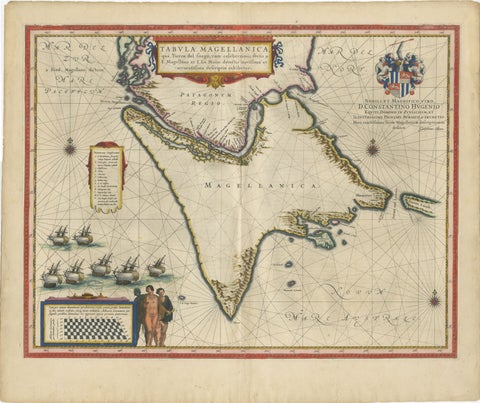
Blaeu Strait of Magellan Map, Tierra del Fuego, Decorative Sea Chart, 1642
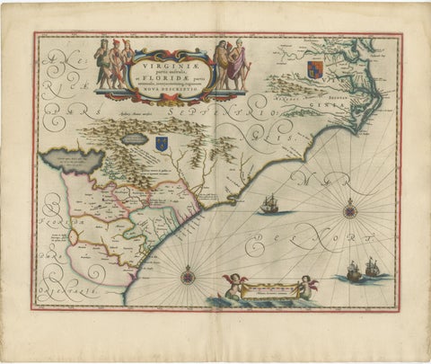
Blaeu Virginia and Florida Map, Decorative Early America Chart, 1642
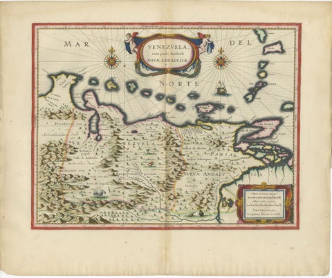
Blaeu Venezuela Map, Decorative Caribbean & Nueva Andalusia Chart 1642
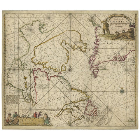
Antique Sea Chart of Hudson Bay and Arctic Canada by Van Keulen, circa 1681
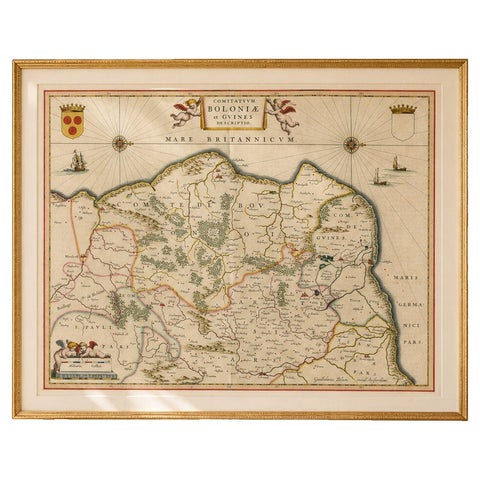
Blaeu Map of Boulogne & Calais Coast, Maritime France, Ships c.1642
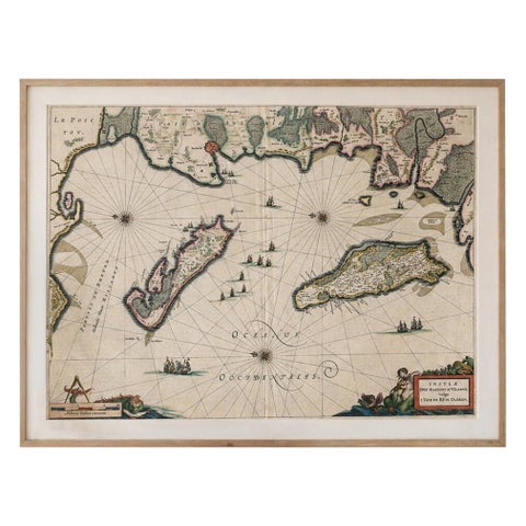
Blaeu Map of Île de Ré & Oléron, La Rochelle Coast France, c.1642
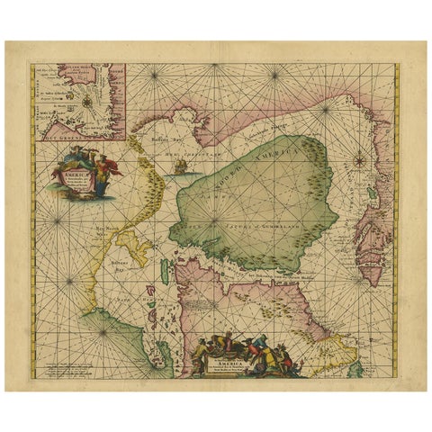
Greenland & North America, Antique Sea Chart by Frederick de Wit, 1745
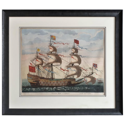
Antique Print of the Royal Flagship of the English Fleet by P. Mortier, c.1693
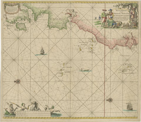
1717 Johannes Van Keulen Sea Chart of the Eastern Atlantic, Amsterdam to Gambia
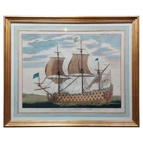
Antique Print of a Naval Vessel by Mortier '1695'
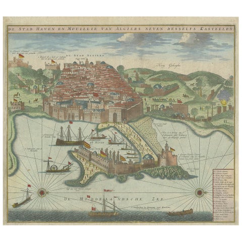
Antique Print of the Port and City of Algiers by Van Keulen, circa 1720
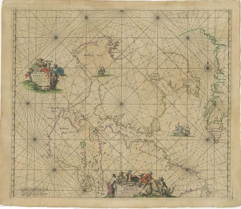
1690 Frederick de Wit Sea Chart of Hudson Bay, Baffin Bay and Greenland
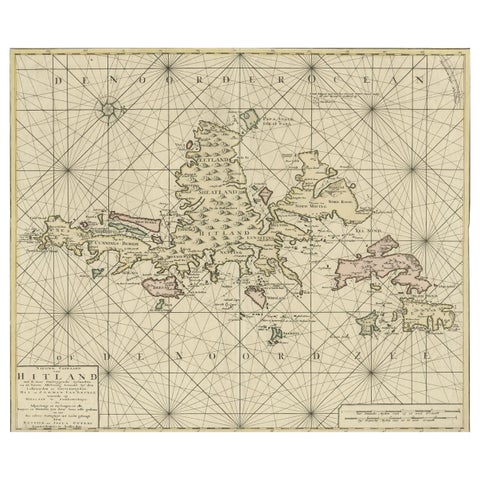
Shetland Islands Sea Chart, Antique Nautical Map by Ottens Brother c.1745
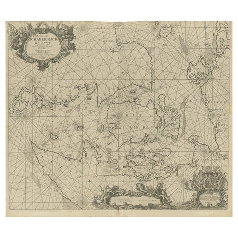
Nautical Chart of Skagerrak and Øresund by Johannes van Keulen, 1680
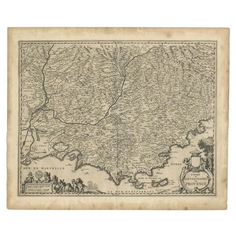
Original Antique Map of the Southern Coast of France by Janssonius, 1657

Java, Sumatra & Borneo Map, Bellin & van Schley Decorative Chart, 1750s
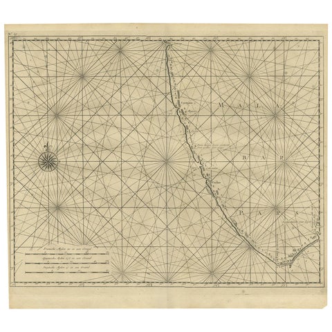
Antique Map of Malabar Coast by Valentijn, 1726
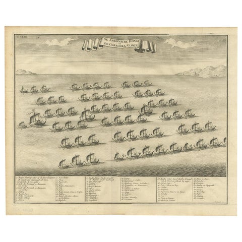
Antique Print of the Hongi/Coracora Fleet by Valentijn '1726'
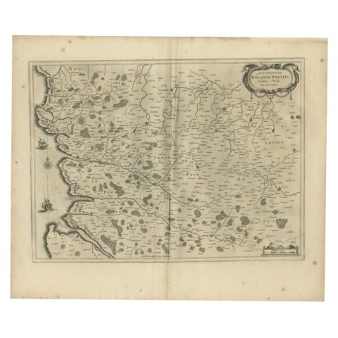
Antique Map of the Coast of Artois by Janssonius, 1657
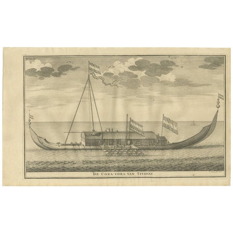
Antique Print of the Coracora Fleet by Valentijn, 1726
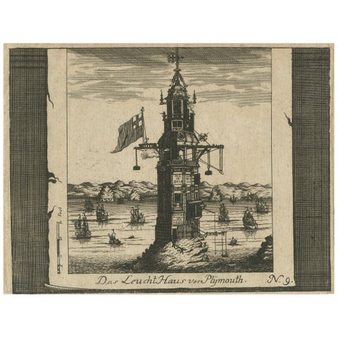
Lighthouse at Plymouth, Engraving by Pieter van der Aa, Leiden 1707
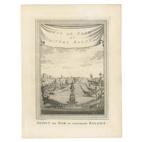
Antique Print of Siam and Various Vessels by Van Schley 'c.1750'
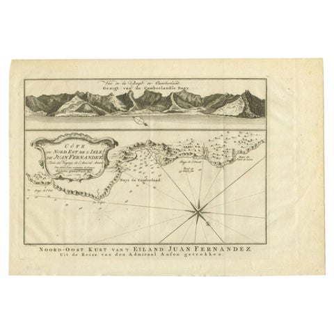
Antique Map of the Coast of Juan Fernandez by Van Schley, 1757
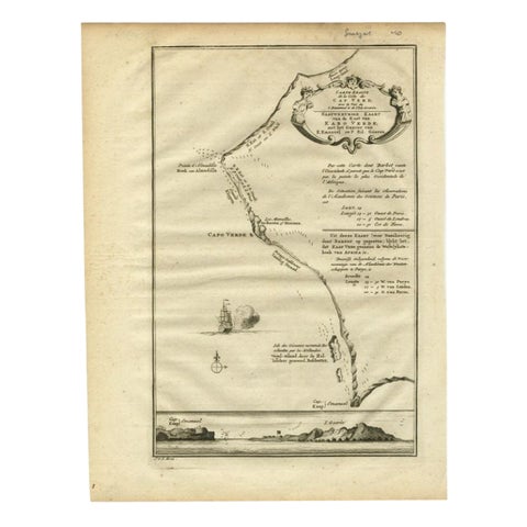
The Cape Verde Islands Coast Antique Engraving by Van Schley, 1747
More to explore
VOYAGES AND MAKERS