S E A C H A R T S, in the International Code of Signals
The sea,
as they charted it.
Original sea charts and maritime prints, printed in their own day, never reproduced. Dutch Golden Age coasts, Pacific voyages, busy harbors and ships under full sail.
Set a course
FOUR COLLECTIONS, EACH UNDER ITS OWN FLAG
Take a sounding
BROWSE BY ERA
The chart room
570 pieces in stock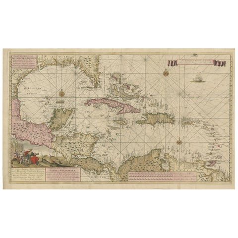
Engraving of a Map of Florida, the Gulf Coast, Caribbean & Central America, 1728
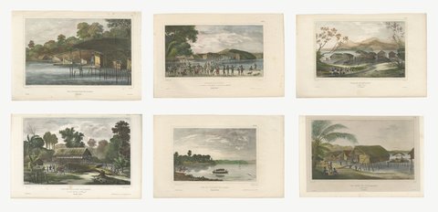
Six Original Hand-Colored Views of Dorey Harbor, New Guinea, de Sainson, 1833
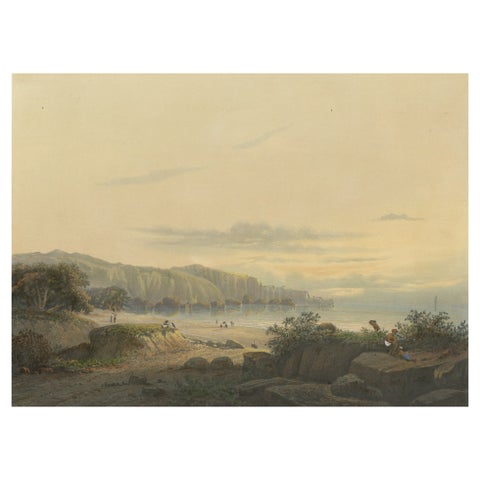
Original Antique Chromolithograh of Srigonjo Bay, the South Coast of Java, 1872
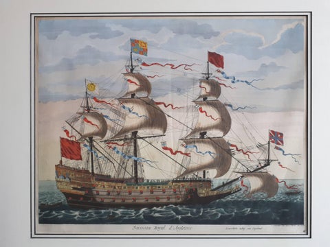
Antique Print of the Royal Flagship of the English Fleet by P. Mortier, c.1693
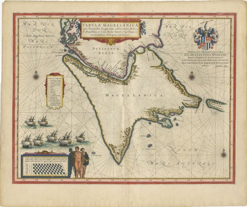
Blaeu Strait of Magellan Map, Tierra del Fuego, Decorative Sea Chart, 1642
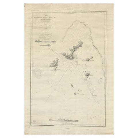
Large Chart of the Gambier Islands, Tuamotu Archipelago, French Polynesia, 1838
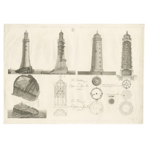
Lighthouse Architecture & Engineering Engravings, Set of 3, c. 1800
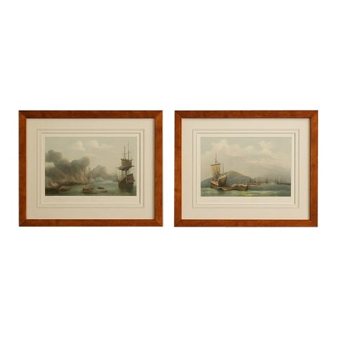
Naval Battle Lithographs in Frame– Etna and Palermo Engagements of 1676, Schotel
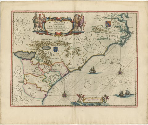
Blaeu Virginia and Florida Map, Decorative Early America Chart, 1642
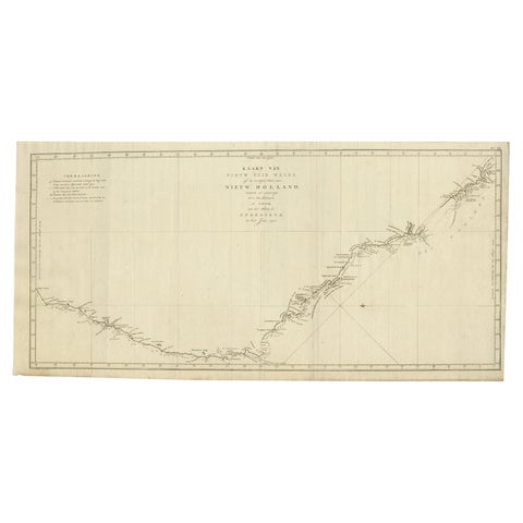
Old Map of Cook's Discovery and Charting of the East Coast of Australia, 1803
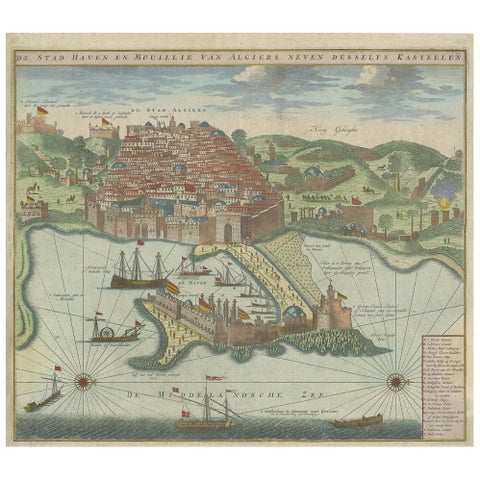
Antique Print of the Port and City of Algiers by Van Keulen, circa 1720
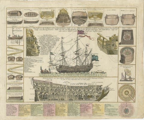
Detailed 1730 Maritime Warship Print with Tools, Rigging, and Ship Cross-Section
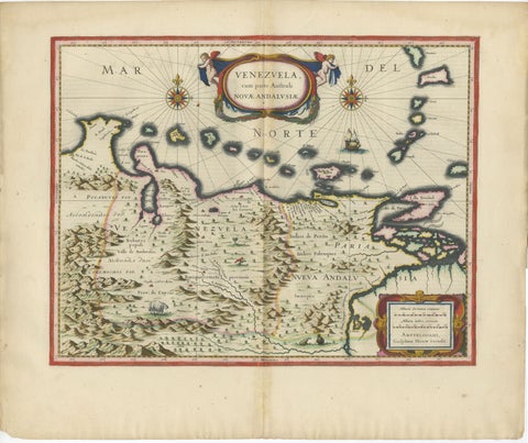
Blaeu Venezuela Map, Decorative Caribbean & Nueva Andalusia Chart 1642
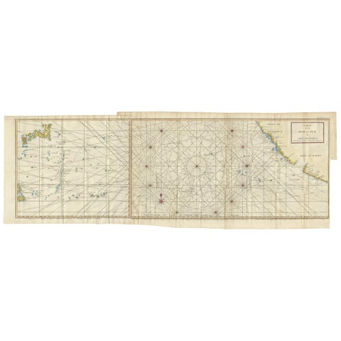
Antique Chart of the Mid-Pacific Ocean by Anson, c.1784
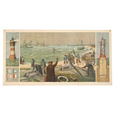
Large Lighthouse Rescue Schoolplate, Josef Klemm Chromolithograph, c.1900
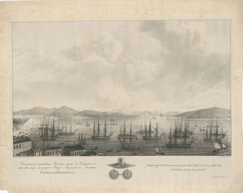
Russian Fleet in the Bosphorus under Vice Admiral Lazarev, circa 1833
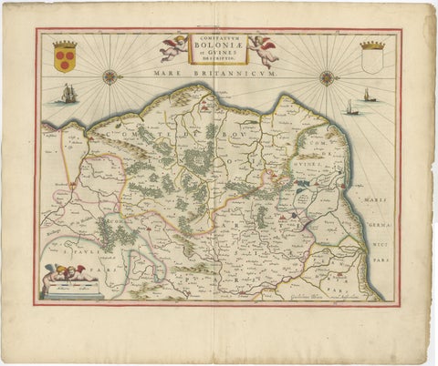
Blaeu Map of Boulogne & Calais Coast, Maritime France, Ships c.1642
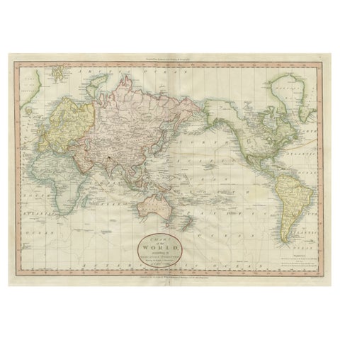
Attractive Antique Map of the World as Planisphere, Shows Cook's Voyages, 1799
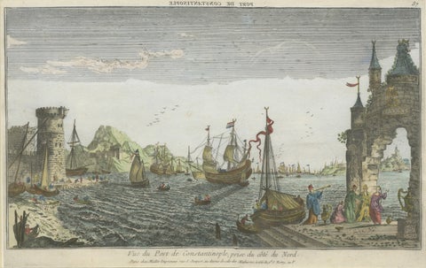
Constantinople Harbor Vue d’Optique by Jacques Chéreau, c.1760
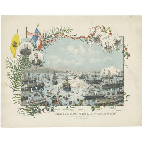
Naval lithograph of Russian fleet arriving in Toulon, France, in 1893
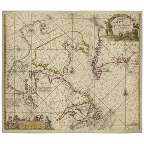
Antique Sea Chart of Hudson Bay and Arctic Canada by Van Keulen, circa 1681
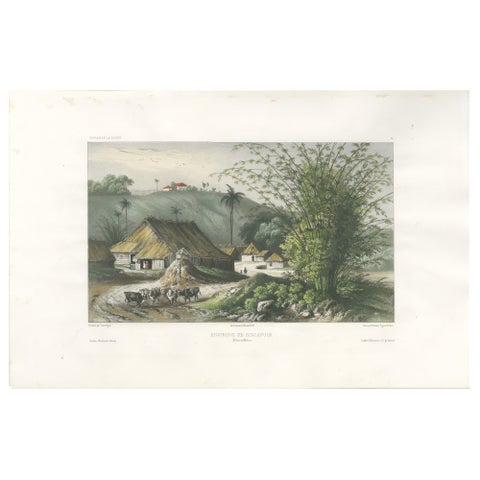
Singapore Environs View, French Exploration Lithograph, La Bonite Voyage, 1845
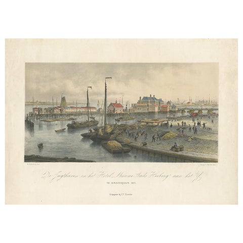
Antique Print of the Harbour of the IJ 'Amsterdam' by Stemler '1871'
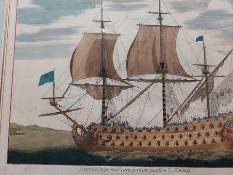
Antique Print of a Naval Vessel by Mortier '1695'
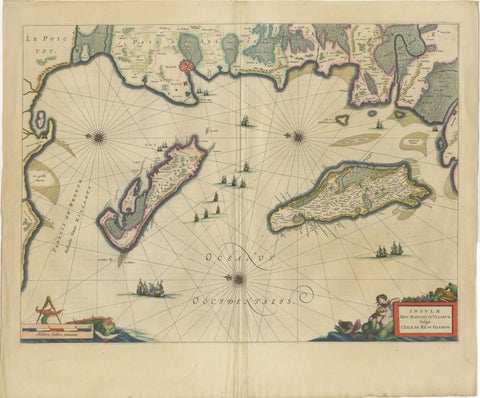
Blaeu Map of Île de Ré & Oléron, La Rochelle Coast France, c.1642
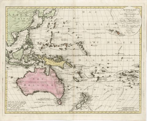
Antique Map of Australia and Polynesia with Cook's Voyages, Walch, 1802
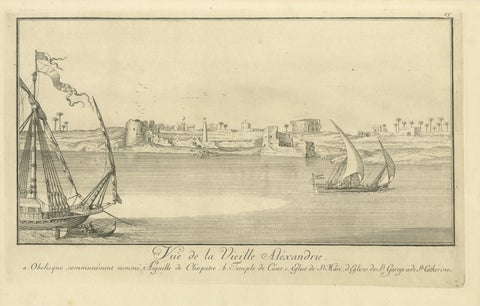
Old Alexandria Harbor, Antique Egypt Engraving by Norden & Tuscher, 1755
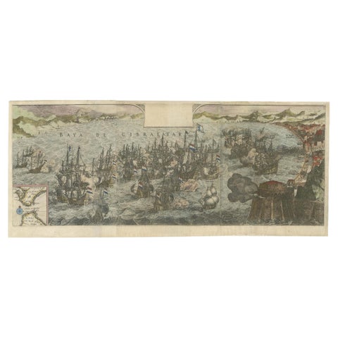
Rare Large 1650 Copper Engraving Depicting the Naval Battle of Gibraltar, 1607
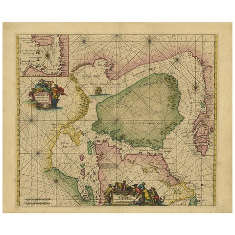
Greenland & North America, Antique Sea Chart by Frederick de Wit, 1745
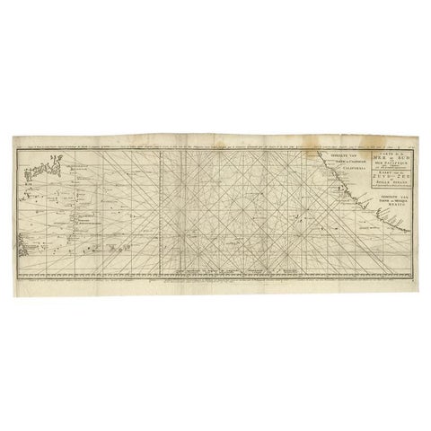
Antique Map of the Pacific Ocean by Anson, 1765
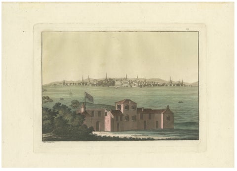
Boston Harbor View from Castle William, Hand-Colored Aquatint by Fumagalli, 1827
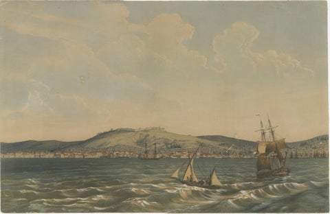
View of the Dardanelles: Fortified Hill and Ships, Hand-Colored Lithograph, 1840
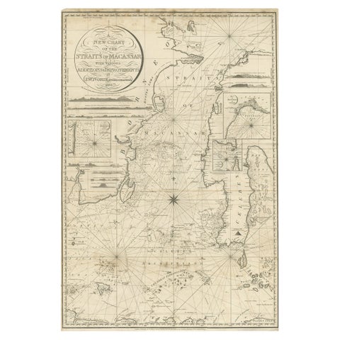
Antique Map of Straits of Makassar by J.W. Norie, Engraved Chart, 1820
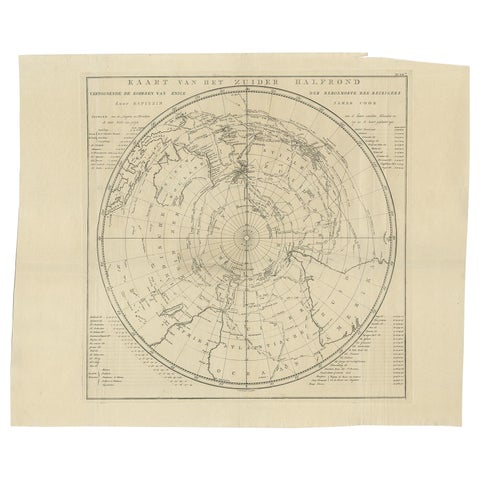
Antique Chart of the Southern Pole, Showing Three Routes of Captain Cook, 1803
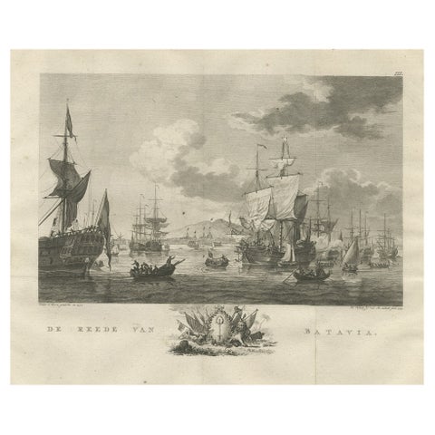
Old Print of VOC Ships in the Sea Near Batavia (Jakarta, Indonesia), 1779
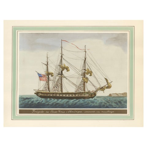
Approaching Safe Harbor: The American Frigate's Return, circa 1920
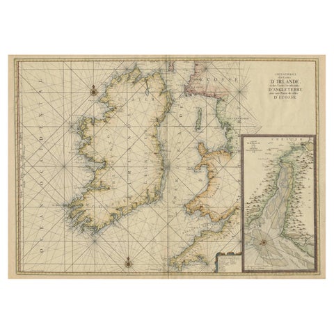
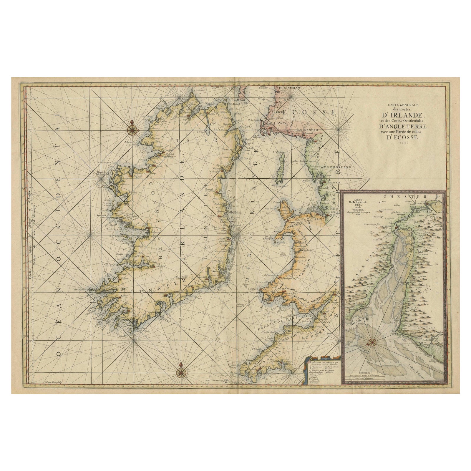
Large 1693 Maritime Map of Irish Sea, West Coasts of Ireland, England, Scotland
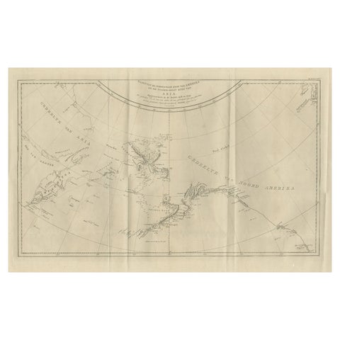
Old Map Showing the Tracks of Cook Between North America and Asia's Coast, 1803
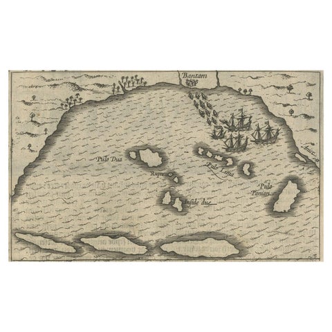
Small Map of Bantam with Dutch Ships and an Engraving of Portugese, 1614
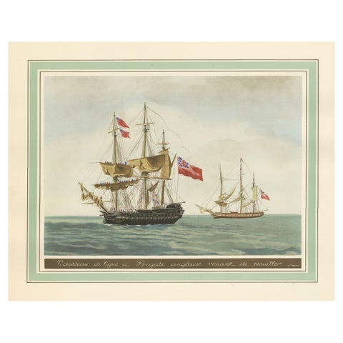
Britannia's Pride at Sea: Return from the Anchorage, circa 1920
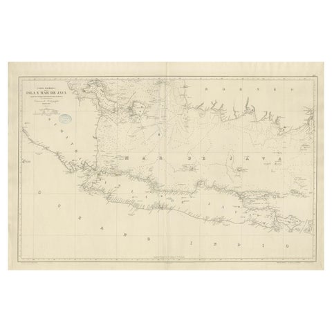
Large Chart of the island and sea of Java, Indonesia
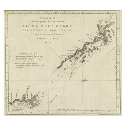
Original Copper Engraving of the Northeast Coast of Australia, 1803
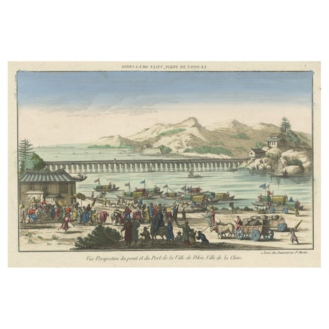
Rare Early View of the Harbour of Peking or Beijing, Capital of China
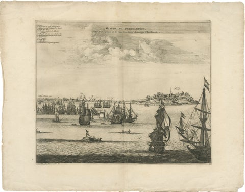
Rare View of Olinda Pernambuco Brazil and Dutch Fleet, 1671
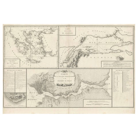
Map of Constantinople, Bosphorus, the Coasts of Greece and the Archipelago, 1785
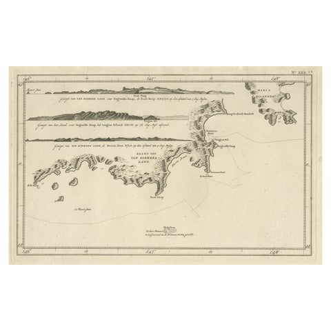
Antique Coastal Views and a Map of Van Diemens Land (Tasmania), Australia, 1803
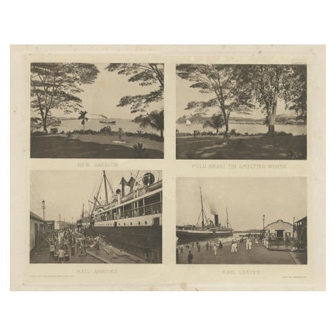
Rare Harbour Views of Colonial Singapore, 1907
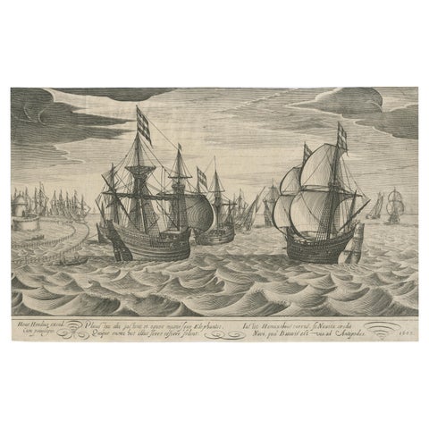
Antique Print of a Fleet of Nine Ships Departing to the East Indies '1603'
Antique sea charts and maritime prints
Antique Sea Charts is a collection of original sea charts, nautical charts and maritime prints from the 1600s to the early 1900s: Dutch Golden Age charts by Van Keulen, De Wit and Blaeu, French charts by Bellin and Mannevillette, plates from the voyages of Captain Cook and Anson, harbor views from Amsterdam to Batavia and New York, and ship portraits and naval battles.
Every piece is an original sheet printed in its own day, never a reproduction, and is sold by Bartele Gallery in Langweer, Friesland, a dealer in antique maps and prints. Charts ship worldwide, flat or rolled, insured and tracked, with a 14-day return policy.
Explore the chart room
PLACES
VOYAGES AND MAKERS
Good to know
Are these charts originals?
Yes. Every chart and print was made in its own day, for an atlas, a pilot guide, a voyage account or a magazine, and is sold as the original sheet. Nothing on this site is a reproduction.
What is a sea chart?
A sea chart is a map made for navigation at sea. It shows coastlines, depths in soundings, shoals, anchorages and landmarks seen from the water, often with compass roses and rhumb lines. The great Dutch publishers of the 1600s, such as Van Keulen, sold them bound in sea atlases and pilot guides.
Where do the charts ship from?
From Bartele Gallery in Langweer, the Netherlands, flat between rigid boards or rolled in a tube, insured and tracked, to any country.
Can I return a chart?
Yes. You may return any piece within 14 days of delivery for a full refund of the price, provided it comes back in the condition in which it was sent.
Which currency am I charged in?
Prices are set in euros. Dollar and pound prices are converted at a recent exchange rate and rounded to the nearest 5. The amount charged is confirmed before payment.