Black Friday Sale now on: up to 30% off until Monday 30 November →
Orders placed from 15 to 30 November ship from 1 December, in time for Christmas. Our shipping partner: InXpress.
Antique Sea Charts

antiqueseacharts.com

✦

Black Friday Sale now on

Up to 30% off original antique maps and prints, until Monday 30 November

Follow your favourite collections

Receive a weekly selection of new arrivals from the collections you love.

You can change your choices or unsubscribe at any time.

The terms

  • Up to 30% off selected original antique maps and prints. Every piece is an original, printed in its own time; none is a reproduction.
  • The sale runs until Monday 30 November. Prices revert on Tuesday 1 December.
  • Free FedEx shipping on qualifying orders placed on our own websites: USA, Canada, UK and Europe over $500 / €450; rest of the world over $750 / €675. Smaller orders pay our normal shipping rate.
  • Orders placed from 15 to 30 November ship from 1 December, in time for Christmas. Our shipping partner is InXpress.
  • Each piece is unique, so the sale is while stock lasts.
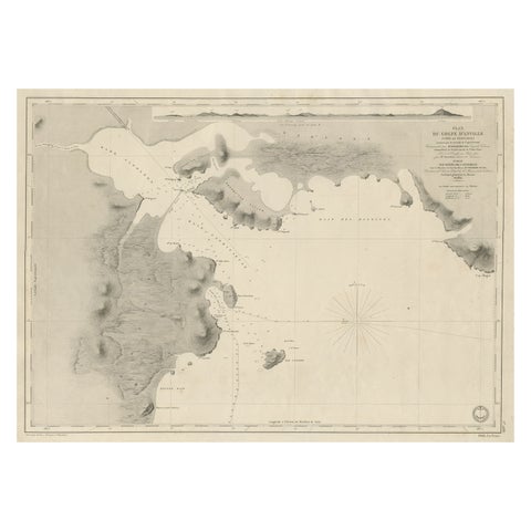
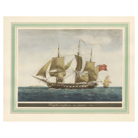
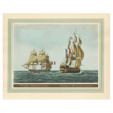
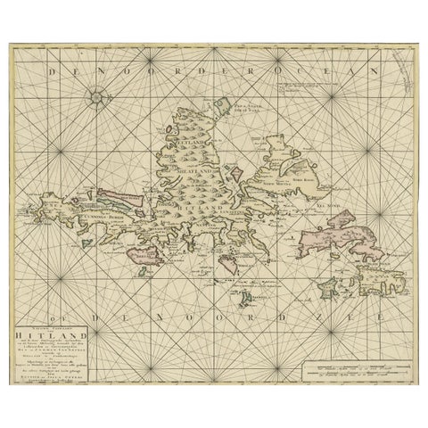
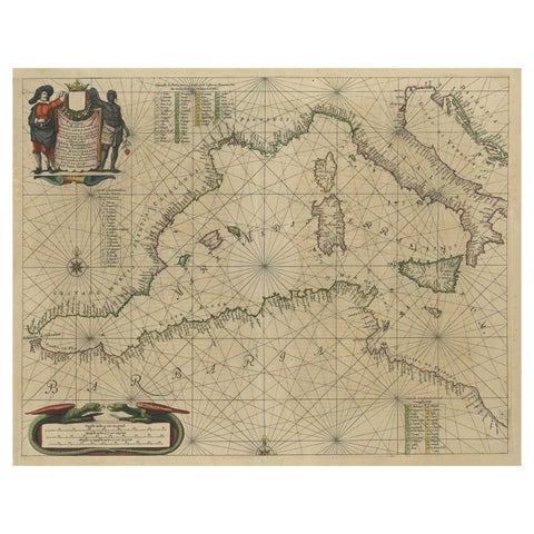
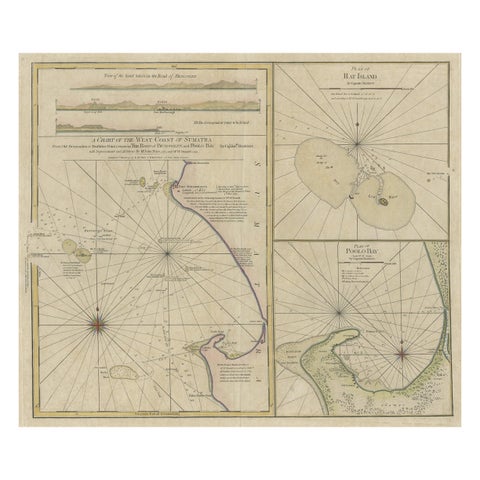
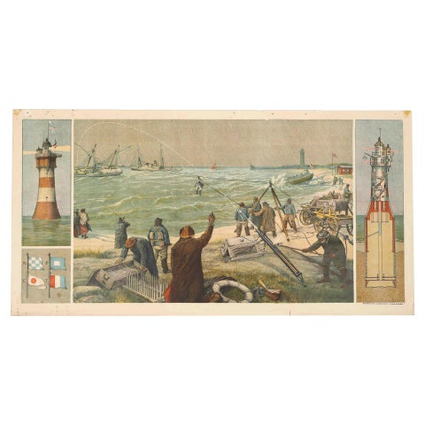
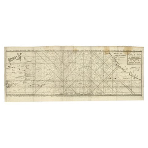
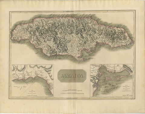
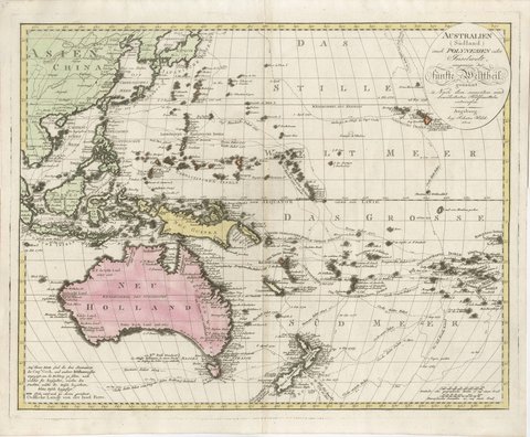
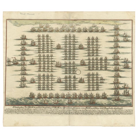
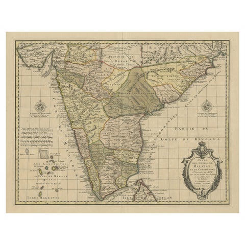
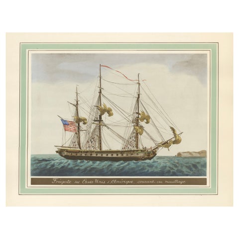
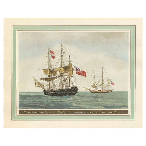
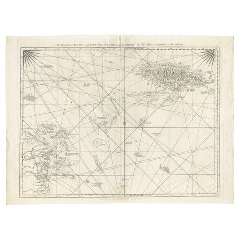
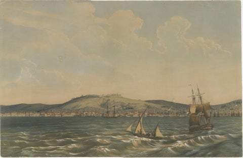
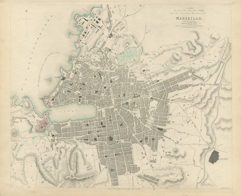
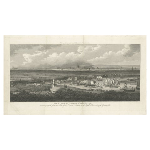
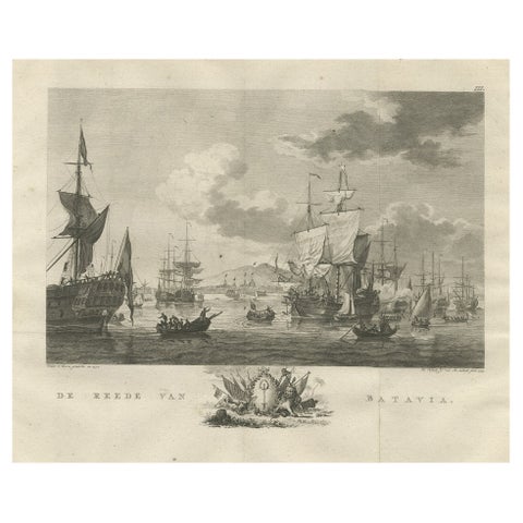
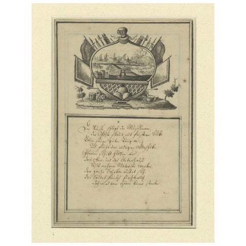
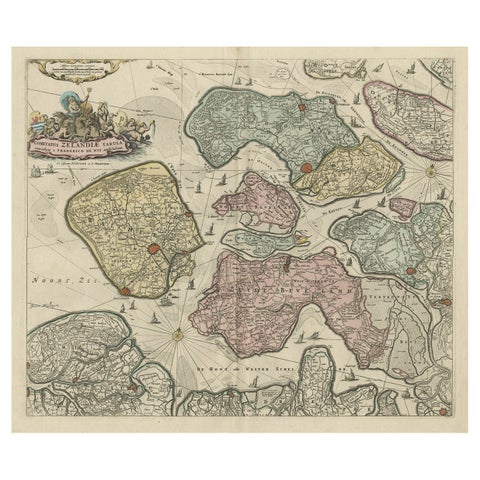
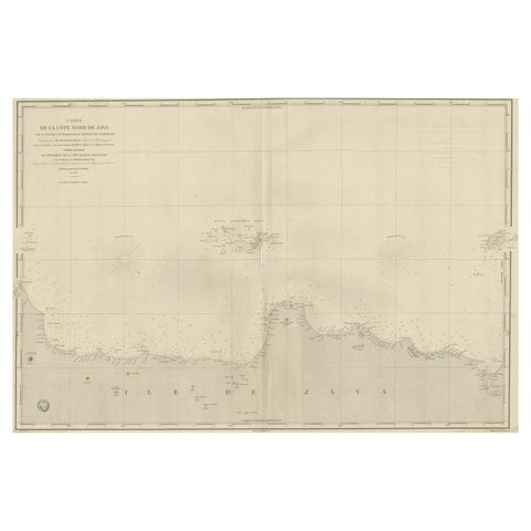
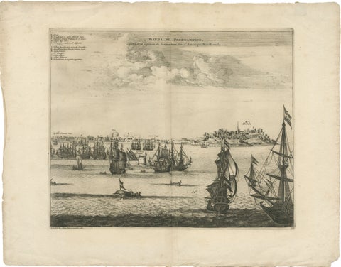
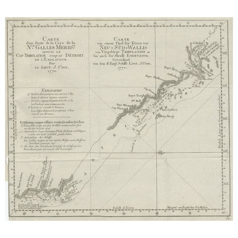
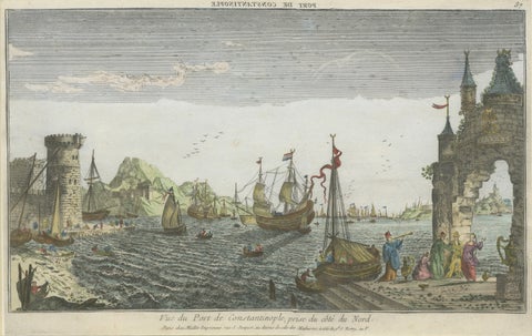
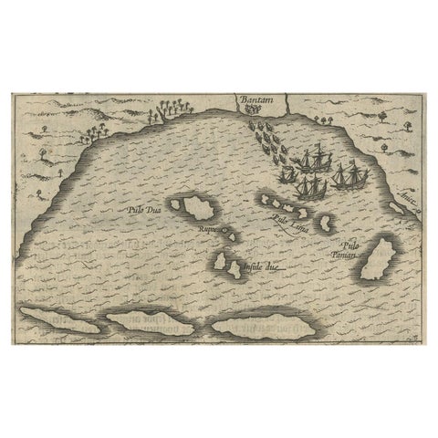
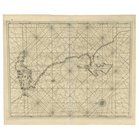
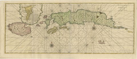
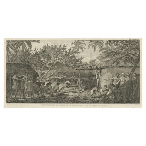
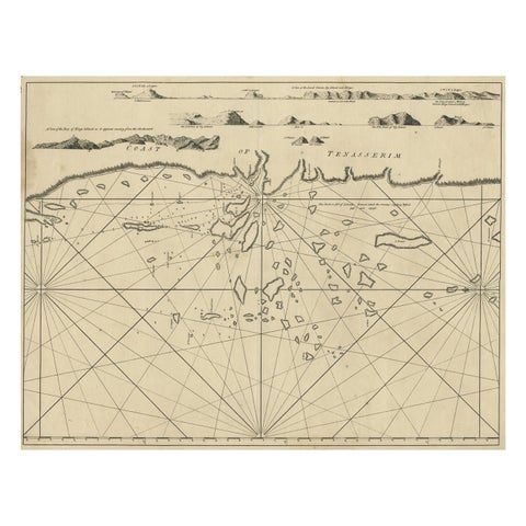
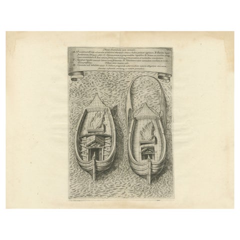
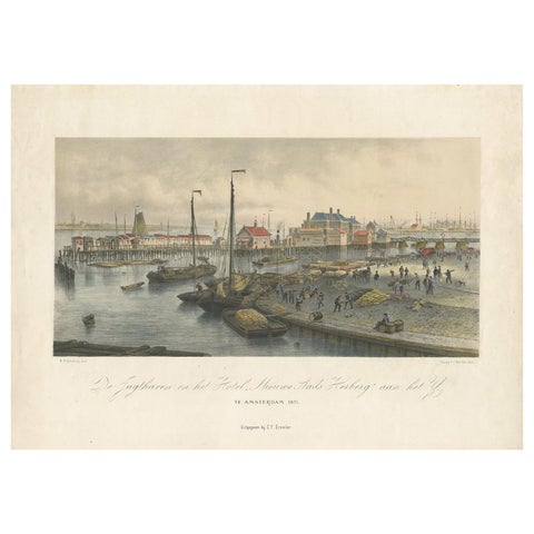
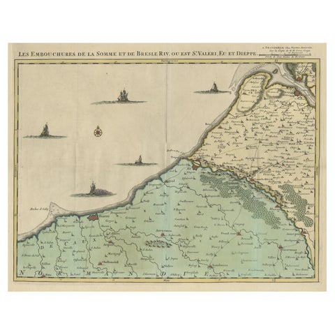
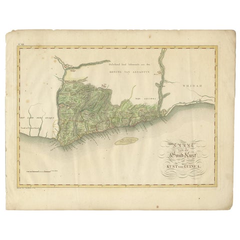
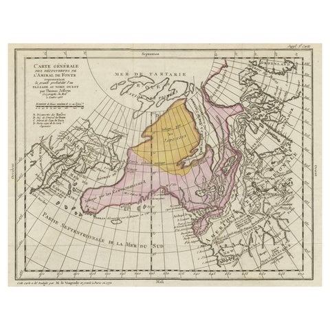
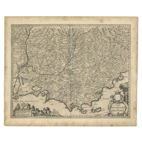
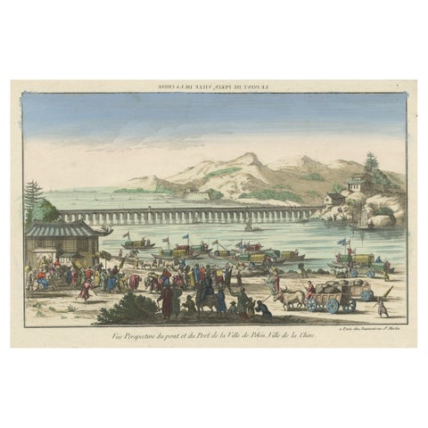
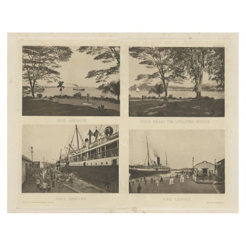
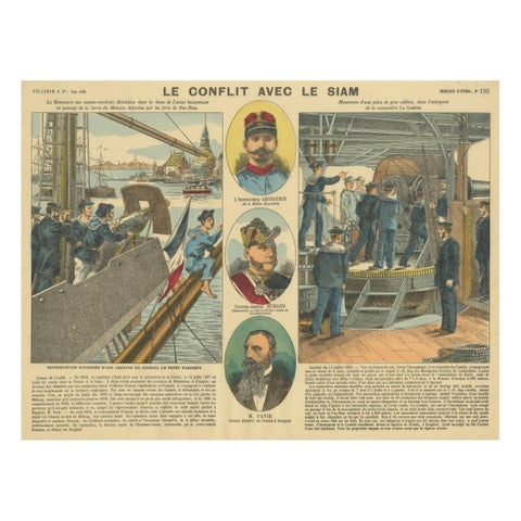
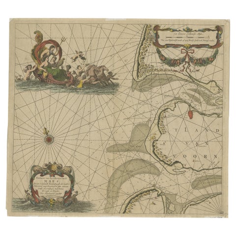
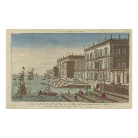
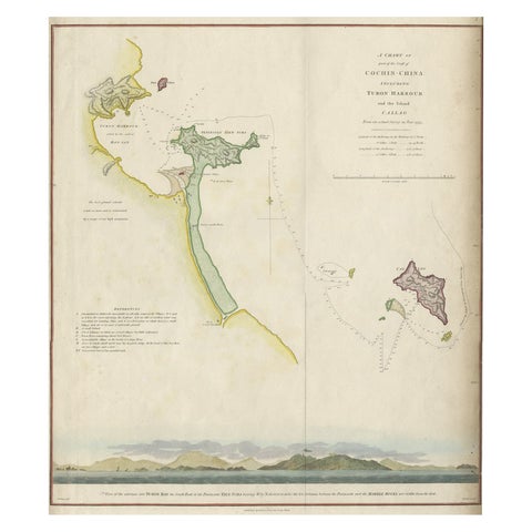
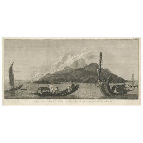
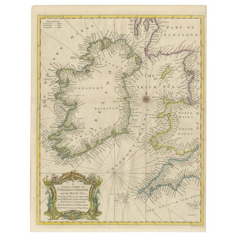
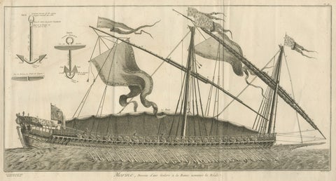
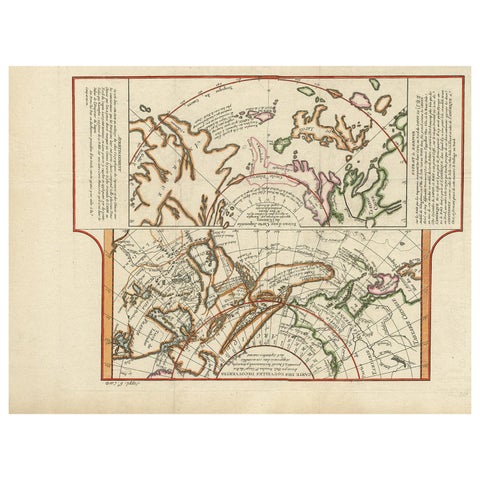
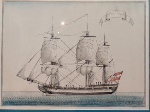
Antique Map of Part of the Chinese Coast, Explored by the French, Ca.1852Antique Map of Part of the Chinese Coast, Explored by the French, Ca.1852$935 $655 30% offCapt. Cook Aiming His Gun Near Islands of the New Hebrides, Vanuatu, 1803Capt. Cook Aiming His Gun Near Islands of the New Hebrides, Vanuatu, 1803$925 $645 30% offBefore the Gales: An English Frigate Awaiting Wind, circa 1920Before the Gales: An English Frigate Awaiting Wind, circa 1920$925 $645 30% offMaritime Salute: The Elegance of 18th-Century Naval Grace, circa 1920Maritime Salute: The Elegance of 18th-Century Naval Grace, circa 1920$925 $645 30% offShetland Islands Sea Chart – Antique Nautical Map by Ottens Brother c.1745Shetland Islands Sea Chart – Antique Nautical Map by Ottens Brother c.1745$1,375 $1,100 20% offOriginal Antique Engraving of a Sea Chart of the Western Mediterranean, ca.1650Original Antique Engraving of a Sea Chart of the Western Mediterranean, ca.1650$1,375 $1,100 20% offEarly Chart Identifying British Spice Trading Colony of Bencoolen, Sumatra, 1797Early Chart Identifying British Spice Trading Colony of Bencoolen, Sumatra, 1797$1,375 $1,100 20% offLarge Lighthouse Rescue Schoolplate – Josef Klemm Chromolithograph, c.1900Large Lighthouse Rescue Schoolplate – Josef Klemm Chromolithograph, c.1900$1,375 $1,100 20% offAntique Map of the Pacific Ocean by Anson, 1765Antique Map of the Pacific Ocean by Anson, 1765$1,085 $810 25% offJamaica Map by John Thomson, Kingston & Port Royal Harbors, c.1817Jamaica Map by John Thomson, Kingston & Port Royal Harbors, c.1817$1,070 $805 25% offAntique Map of Australia and Polynesia with Cook's Voyages, Walch, 1802Antique Map of Australia and Polynesia with Cook's Voyages, Walch, 1802$1,320 $1,055 20% offAntique Print of the Fleet of William III of Orange by Merian 'c.1700'Antique Print of the Fleet of William III of Orange by Merian 'c.1700'$880 $615 30% offDetailed Decorative Antique Map of the Coast of Malabar and Coromandel, IndiaDetailed Decorative Antique Map of the Coast of Malabar and Coromandel, India$1,320 $1,055 20% offApproaching Safe Harbor: The American Frigate's Return, circa 1920Approaching Safe Harbor: The American Frigate's Return, circa 1920$1,320 $1,055 20% offBritannia's Pride at Sea: Return from the Anchorage, circa 1920Britannia's Pride at Sea: Return from the Anchorage, circa 1920$1,320 $1,055 20% offNavigational Chart of Jamaica, Cape Gracias a Dios, and the Mosquito Coast, 1775Navigational Chart of Jamaica, Cape Gracias a Dios, and the Mosquito Coast, 1775$1,320 $1,055 20% offView of the Dardanelles: Fortified Hill and Ships, Hand-Colored Lithograph, 1840View of the Dardanelles: Fortified Hill and Ships, Hand-Colored Lithograph, 1840$1,320 $1,055 20% offAntique Plan of Marseille, Ancient Massilia, with the Old Port, 1840Antique Plan of Marseille, Ancient Massilia, with the Old Port, 1840$870 $610 30% offRare City View of London and Westminster, Showing Many Battles Ships, 1804Rare City View of London and Westminster, Showing Many Battles Ships, 1804$855 $600 30% offOld Print of VOC Ships in the Sea Near Batavia (Jakarta, Indonesia), 1779Old Print of VOC Ships in the Sea Near Batavia (Jakarta, Indonesia), 1779$855 $600 30% off18th-Century German Engraving – Allegory of War, Poem & Naval View18th-Century German Engraving – Allegory of War, Poem & Naval View$855 $600 30% offDecorative Antique Sea Chart of Zeeland, a Province of the Netherlands, ca.1730Decorative Antique Sea Chart of Zeeland, a Province of the Netherlands, ca.1730$1,265 $1,010 20% offEarly French Nautical Chart of the Northern Coast of of Java, Indonesia, C.1850Early French Nautical Chart of the Northern Coast of of Java, Indonesia, C.1850$1,265 $1,010 20% offRare View of Olinda Pernambuco Brazil and Dutch Fleet, 1671Rare View of Olinda Pernambuco Brazil and Dutch Fleet, 1671$1,265 $1,010 20% offOld Chart of the North-Eastern Coast of Australia Discovered by Cook, 1774Old Chart of the North-Eastern Coast of Australia Discovered by Cook, 1774$835 $585 30% offConstantinople Harbor Vue d’Optique by Jacques Chéreau, c.1760Constantinople Harbor Vue d’Optique by Jacques Chéreau, c.1760$1,240 $995 20% offSmall Map of Bantam with Dutch Ships and an Engraving of Portugese, 1614Small Map of Bantam with Dutch Ships and an Engraving of Portugese, 1614$825 $575 30% offSea Chart Titled 'Baya de Saldanha' with Robben Island in South Africa, 1726Sea Chart Titled 'Baya de Saldanha' with Robben Island in South Africa, 1726$1,230 $985 20% offAmboina and Its Eleven Islands: Broad Valentijn Double-Page Chart, 1726Amboina and Its Eleven Islands: Broad Valentijn Double-Page Chart, 1726$815 $570 30% offHuman Sacrifice in a Morai, Tahiti – Cook Voyage Engraving c.1795Human Sacrifice in a Morai, Tahiti – Cook Voyage Engraving c.1795$815 $570 30% offOld Sea Chart of the Tenasserim area, Myanmar 'Burma' in South East Asia, c.1790Old Sea Chart of the Tenasserim area, Myanmar 'Burma' in South East Asia, c.1790$815 $570 30% offIngenious Destruction: Fire Ship Design of the Eighty Years' War, 1632Ingenious Destruction: Fire Ship Design of the Eighty Years' War, 1632$815 $570 30% offAntique Print of the Harbour of the IJ 'Amsterdam' by Stemler '1871'Antique Print of the Harbour of the IJ 'Amsterdam' by Stemler '1871'$1,210 $965 20% offBeautiful Antique Map of the French Coast, from St. Valeri to Dieppe, 1720Beautiful Antique Map of the French Coast, from St. Valeri to Dieppe, 1720$1,210 $965 20% offAntique Map of the Dutch Gold Coast in Africa by Van den Bosch '1818'Antique Map of the Dutch Gold Coast in Africa by Van den Bosch '1818'$1,205 $965 20% offInteresting Old Map of the Nw Coast of America and the Ne Coast of Asia, ca.1772Interesting Old Map of the Nw Coast of America and the Ne Coast of Asia, ca.1772$800 $560 30% offOriginal Antique Map of the Southern Coast of France by Janssonius, 1657Original Antique Map of the Southern Coast of France by Janssonius, 1657$790 $555 30% offRare Early View of the Harbour of Peking or Beijing, Capital of ChinaRare Early View of the Harbour of Peking or Beijing, Capital of China$790 $555 30% offRare Harbour Views of Colonial Singapore, 1907Rare Harbour Views of Colonial Singapore, 1907$770 $540 30% offConflict with Siam, a French Naval Action Scene, Épinal Colonial Print, 1893Conflict with Siam, a French Naval Action Scene, Épinal Colonial Print, 1893$760 $530 30% offOriginal Antique Sea Chart of the Maas 'or Meuse' River with Neptunes, 1684Original Antique Sea Chart of the Maas 'or Meuse' River with Neptunes, 1684$745 $525 30% offOptical View of the Port of Boeotia Near the Island of Evvia, GreeceOptical View of the Port of Boeotia Near the Island of Evvia, Greece$745 $525 30% offMap of the Vietnamese Coast, Centered on Turon Harbor 'Da Nang Area', 1796Map of the Vietnamese Coast, Centered on Turon Harbor 'Da Nang Area', 1796$735 $515 30% offView of the Island of Tahiti, with Outrigger Canoes and Sailing Catamarans, 1803View of the Island of Tahiti, with Outrigger Canoes and Sailing Catamarans, 1803$725 $510 30% offHand-colored Nautical Chart: St. George's Channel and the Irish Sea, 1744Hand-colored Nautical Chart: St. George's Channel and the Irish Sea, 1744$725 $510 30% offLa Réale French Royal Galley, Large Naval Engraving, c.1769La Réale French Royal Galley, Large Naval Engraving, c.1769$875 $655 25% offAntique Map of the West Coast of North America & North East Coast of Asia '1772'Antique Map of the West Coast of North America & North East Coast of Asia '1772'$715 $500 30% offAntique Print of a Vessel 'c.1850'Antique Print of a Vessel 'c.1850'$715 $500 30% off

Your favorites

Saved in this browser. Email the list to yourself to keep it on any device.

We use your email to send this list and, only if you tick the box and confirm, for occasional new arrivals. Every email has an unsubscribe link. Bartele Gallery, the Netherlands.

Powered by SiteKeys