Black Friday Sale now on: up to 30% off until Monday 30 November →
Orders placed from 15 to 30 November ship from 1 December, in time for Christmas. Our shipping partner: InXpress.
Antique Sea Charts

1700 to 1789: Age of discovery

Sea charts and maritime prints printed between 1700 and 1789, the age of discovery. Every one a period original.

210 pieces
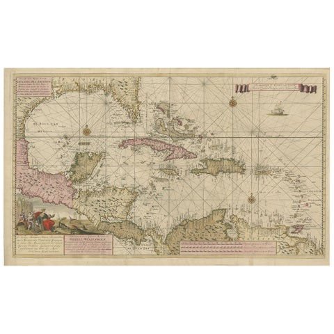
Engraving of a Map of Florida, the Gulf Coast, Caribbean & Central America, 1728
Engraving of a Map of Florida, the Gulf Coast, Caribbean & Central America, 1728

1728$15,055
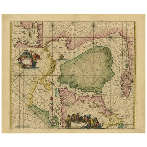
Greenland & North America, Antique Sea Chart by Frederick de Wit, 1745
Greenland & North America, Antique Sea Chart by Frederick de Wit, 1745

1745$3,845
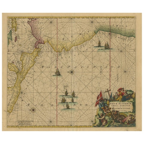
Sea Chart of Central America and the Northwest Coast of South America, ca.1745
Sea Chart of Central America and the Northwest Coast of South America, ca.1745

1745$2,695$2,15520% off
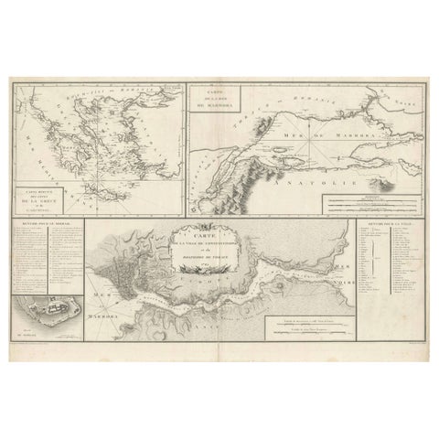
Map of Constantinople, Bosphorus, the Coasts of Greece and the Archipelago, 1785
Map of Constantinople, Bosphorus, the Coasts of Greece and the Archipelago, 1785

1785$2,695$2,15520% off
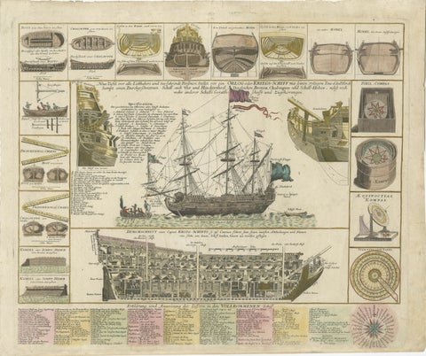
Detailed 1730 Maritime Warship Print with Tools, Rigging, and Ship Cross-Section
Detailed 1730 Maritime Warship Print with Tools, Rigging, and Ship Cross-Section

1730$2,640$2,11020% off
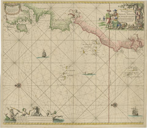
1717 Johannes Van Keulen Sea Chart of the Eastern Atlantic, Amsterdam to Gambia
1717 Johannes Van Keulen Sea Chart of the Eastern Atlantic, Amsterdam to Gambia

1717$2,475$1,98020% off
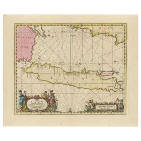
Antique Map of Java, Sumatra & Borneo, Dutch East Indies Sea Chart c.1700
Antique Map of Java, Sumatra & Borneo, Dutch East Indies Sea Chart c.1700

1700$2,475$1,98020% off
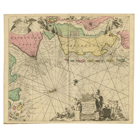
Rare Sea Chart of the East Frisian Islands or Watten and the North Sea, c.1700
Rare Sea Chart of the East Frisian Islands or Watten and the North Sea, c.1700

1700$2,035$1,62520% off
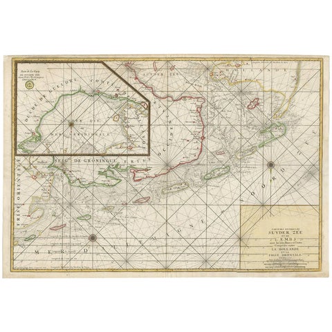
Large Sea Chart of the Zuyder Zee & The Northsea with the Wadden Islands, 1773
Large Sea Chart of the Zuyder Zee & The Northsea with the Wadden Islands, 1773

1773$1,925
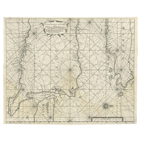
Rare Old English Sea Chart of Part of Indonesia with Java, Madura and Bali, 1711
Rare Old English Sea Chart of Part of Indonesia with Java, Madura and Bali, 1711

1711$1,815$1,45020% off
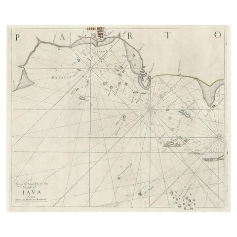
Two Antique Sea Charts of the Thousand Islands between Batavia and Bantam, c1734
Two Antique Sea Charts of the Thousand Islands between Batavia and Bantam, c1734

1734$1,815$1,45020% off
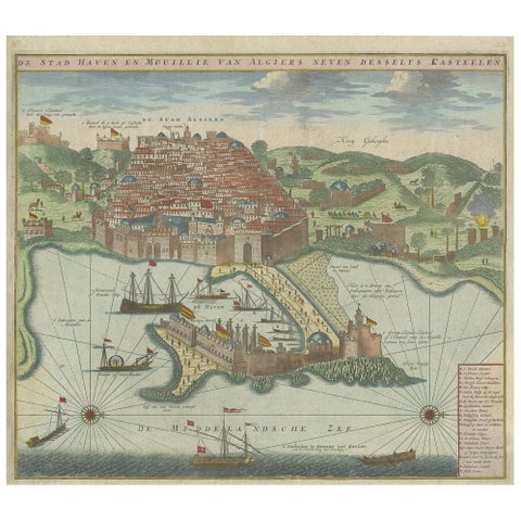
Antique Print of the Port and City of Algiers by Van Keulen, circa 1720
Antique Print of the Port and City of Algiers by Van Keulen, circa 1720

1720$1,650$1,32020% off
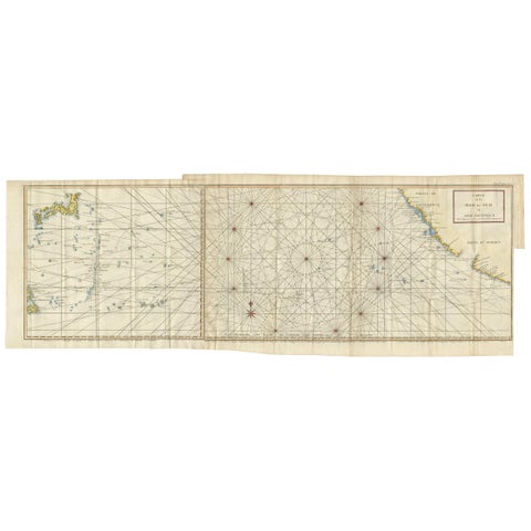
Antique Chart of the Mid-Pacific Ocean by Anson, c.1784
Antique Chart of the Mid-Pacific Ocean by Anson, c.1784

1784$1,650$1,32020% off
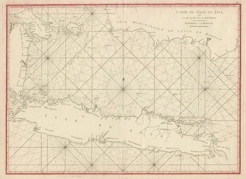
Antique Sea Chart Java Indonesia, Mannevillette Neptune Oriental 1775
Antique Sea Chart Java Indonesia, Mannevillette Neptune Oriental 1775

1775$1,540$1,23020% off
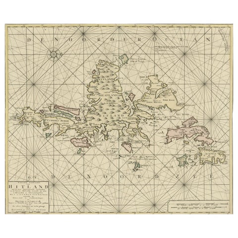
Shetland Islands Sea Chart, Antique Nautical Map by Ottens Brother c.1745
Shetland Islands Sea Chart, Antique Nautical Map by Ottens Brother c.1745

1745$1,375$1,10020% off
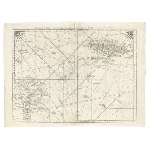
Navigational Chart of Jamaica, Cape Gracias a Dios, and the Mosquito Coast, 1775
Navigational Chart of Jamaica, Cape Gracias a Dios, and the Mosquito Coast, 1775

1775$1,320$1,05520% off
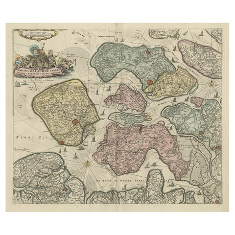
Decorative Antique Sea Chart of Zeeland, a Province of the Netherlands, ca.1730
Decorative Antique Sea Chart of Zeeland, a Province of the Netherlands, ca.1730

1730$1,265$1,01020% off
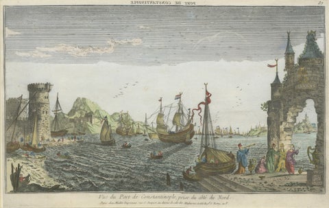
Constantinople Harbor Vue d’Optique by Jacques Chéreau, c.1760
Constantinople Harbor Vue d’Optique by Jacques Chéreau, c.1760

1760$1,240$99520% off
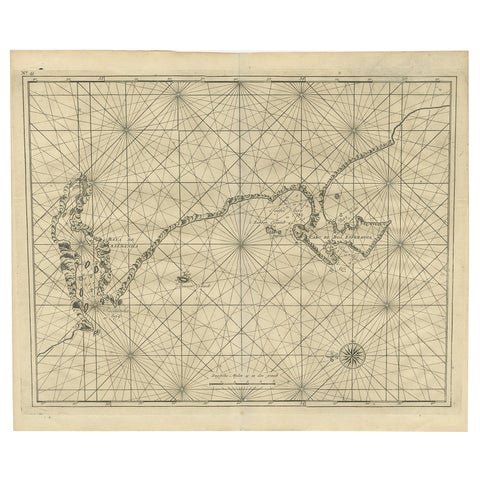
Sea Chart Titled 'Baya de Saldanha' with Robben Island in South Africa, 1726
Sea Chart Titled 'Baya de Saldanha' with Robben Island in South Africa, 1726

1726$1,230$98520% off
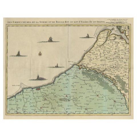
Beautiful Antique Map of the French Coast, from St. Valeri to Dieppe, 1720
Beautiful Antique Map of the French Coast, from St. Valeri to Dieppe, 1720

1720$1,210$96520% off
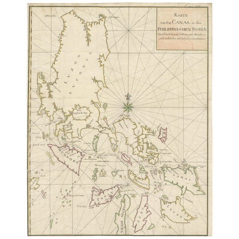
Large German Chart of the Philippines with Hand-Colored Borders, 1763
Large German Chart of the Philippines with Hand-Colored Borders, 1763

1763$1,090$76030% off
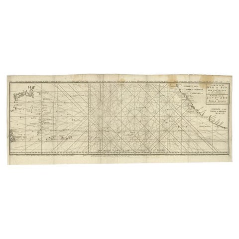
Antique Map of the Pacific Ocean by Anson, 1765
Antique Map of the Pacific Ocean by Anson, 1765

1765$1,085$81025% off
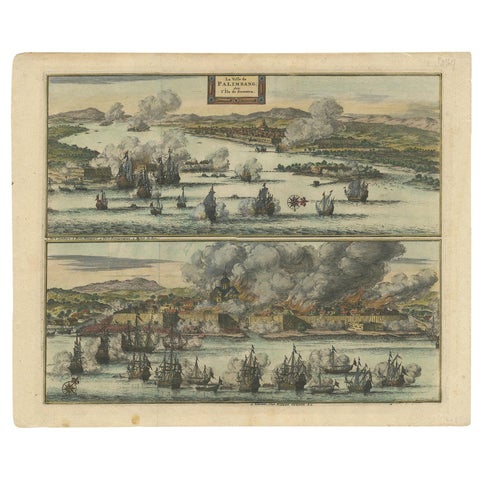
Antique Print of the Dutch VOC Bombing Palembang, Sumatra (Indonesia), ca.1700
Antique Print of the Dutch VOC Bombing Palembang, Sumatra (Indonesia), ca.1700

1700$1,045$73030% off
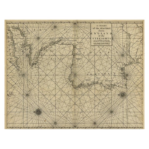
Original Antique Sea Chart of the Coastline from England to Gibraltar, ca.1700
Original Antique Sea Chart of the Coastline from England to Gibraltar, ca.1700

1700$1,045$73030% off
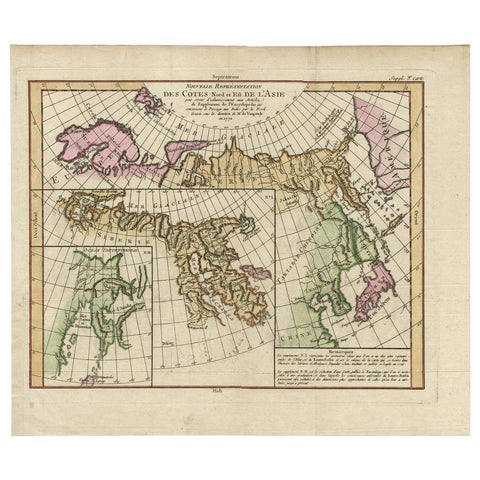
Map of North and East coast of Asia with Japan & inset maps of Kamchatka, c1750
Map of North and East coast of Asia with Japan & inset maps of Kamchatka, c1750

1750$1,045$73030% off
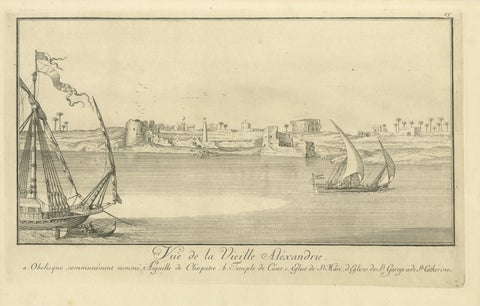
Old Alexandria Harbor, Antique Egypt Engraving by Norden & Tuscher, 1755
Old Alexandria Harbor, Antique Egypt Engraving by Norden & Tuscher, 1755

1755$1,010$71030% off
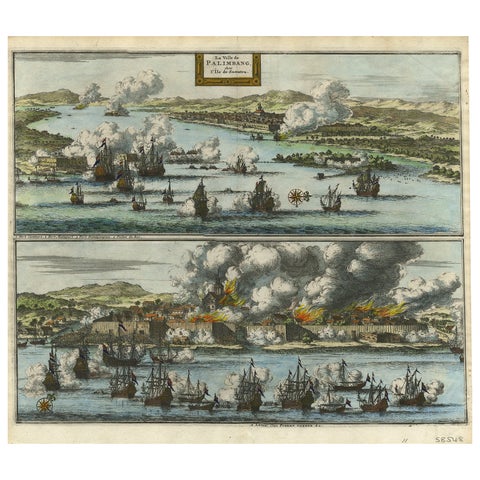
Decorative Engraving of VOC Battle Ships Attacking Palembang in Sumatra, ca.1700
Decorative Engraving of VOC Battle Ships Attacking Palembang in Sumatra, ca.1700

1700$980$68530% off
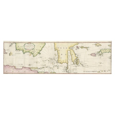
Rare Chart of Indonesia Including Borneo, Java, Celebes, Ceram and More, 1779
Rare Chart of Indonesia Including Borneo, Java, Celebes, Ceram and More, 1779

1779$980$68530% off
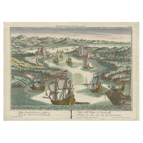
Dardanelles Strait, Ottoman Turkey, Probst Optical View with Ships, c.1770
Dardanelles Strait, Ottoman Turkey, Probst Optical View with Ships, c.1770

1770$980$68530% off
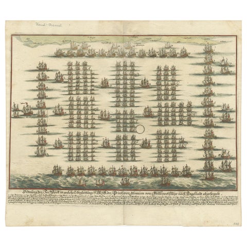
Antique Print of the Fleet of William III of Orange by Merian 'c.1700'
Antique Print of the Fleet of William III of Orange by Merian 'c.1700'

1700$880$61530% off
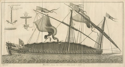
La Réale French Royal Galley, Large Naval Engraving, c.1769
La Réale French Royal Galley, Large Naval Engraving, c.1769

1769$875$65525% off
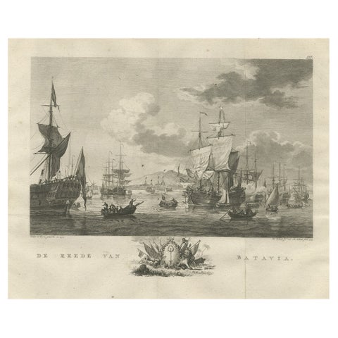
Old Print of VOC Ships in the Sea Near Batavia (Jakarta, Indonesia), 1779
Old Print of VOC Ships in the Sea Near Batavia (Jakarta, Indonesia), 1779

1779$855$60030% off
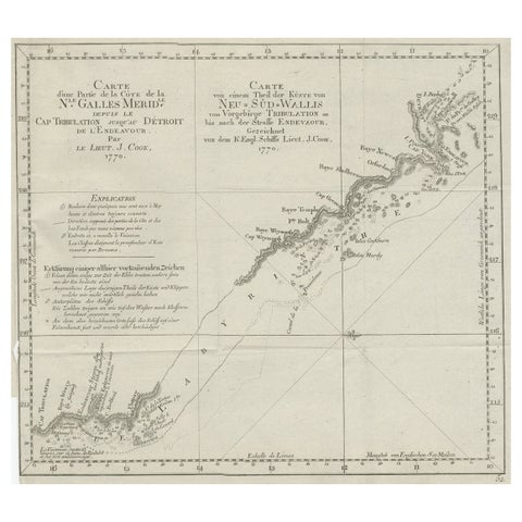
Old Chart of the North-Eastern Coast of Australia Discovered by Cook, 1774
Old Chart of the North-Eastern Coast of Australia Discovered by Cook, 1774

1774$835$58530% off
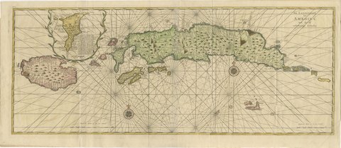
Amboina and Its Eleven Islands: Broad Valentijn Double-Page Chart, 1726
Amboina and Its Eleven Islands: Broad Valentijn Double-Page Chart, 1726

1724-1726$815$57030% off
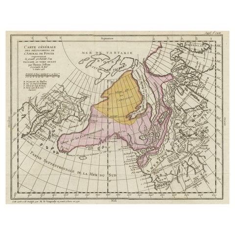
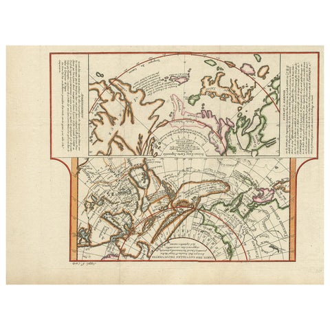
Interesting Old Map of the Nw Coast of America and the Ne Coast of Asia, ca.1772
Interesting Old Map of the Nw Coast of America and the Ne Coast of Asia, ca.1772

1772$800$56030% off
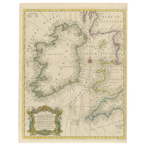
Hand-colored Nautical Chart: St. George's Channel and the Irish Sea, 1744
Hand-colored Nautical Chart: St. George's Channel and the Irish Sea, 1744

1744$725$51030% off
Antique Map of the West Coast of North America & North East Coast of Asia '1772'
Antique Map of the West Coast of North America & North East Coast of Asia '1772'

1772$715$50030% off
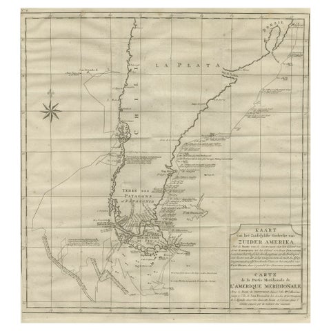
Antique Map of Tracks of Anson's Ships around South America & Cape Horn, 1749
Antique Map of Tracks of Anson's Ships around South America & Cape Horn, 1749

1749$715$50030% off
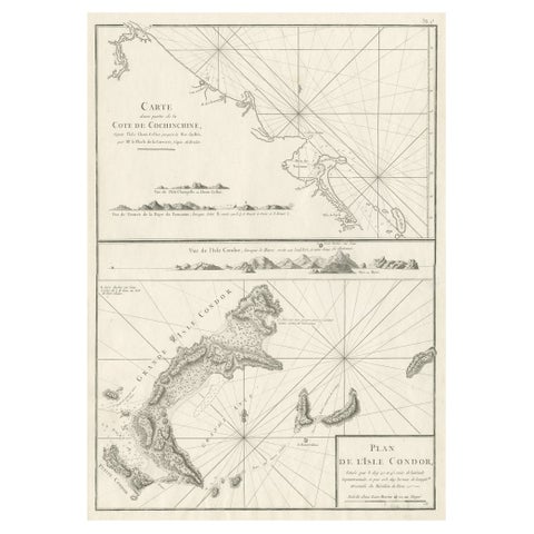
Old Sea Charts of Tourane Bay & the Con Dao Islands 'Pulo Condor', Vietnam, 1780
Old Sea Charts of Tourane Bay & the Con Dao Islands 'Pulo Condor', Vietnam, 1780

1780$715$50030% off
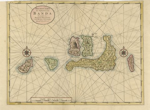
Valentijn Sea Chart of the Banda Nutmeg Islands with Poelo Rhun, 1726
Valentijn Sea Chart of the Banda Nutmeg Islands with Poelo Rhun, 1726

1724-1726$705$49030% off
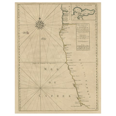
Old Map of the Namibia and South Africa Coasts & Inset of Saldanha Bay, ca.1700
Old Map of the Namibia and South Africa Coasts & Inset of Saldanha Bay, ca.1700

1700$705$49030% off
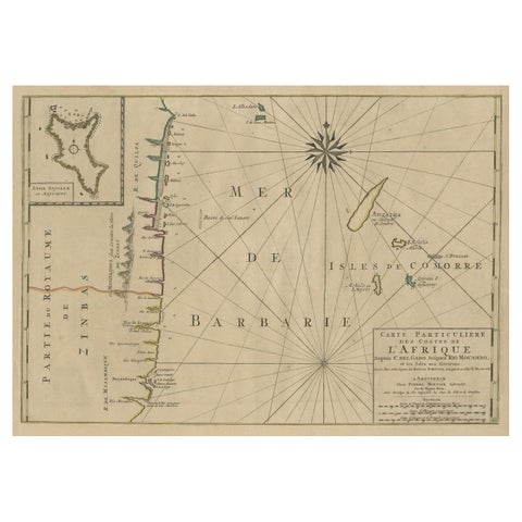
Map of the Mozambique and Tanzania Coast & Inset Map of Anjouan Island, ca.1700
Map of the Mozambique and Tanzania Coast & Inset Map of Anjouan Island, ca.1700

1700$705$49030% off
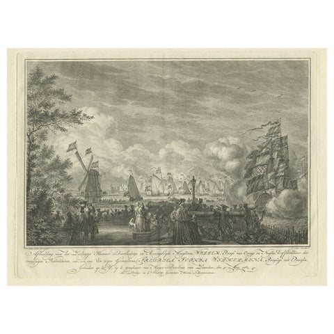
Antique Print of the Sailing Tour on the IJ River , Amsterdam, 1768
Antique Print of the Sailing Tour on the IJ River , Amsterdam, 1768

1768$705$49030% off
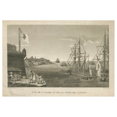
View of the Harbor of Cannes, Engraving by Dubois after Courvoisier, 1784
View of the Harbor of Cannes, Engraving by Dubois after Courvoisier, 1784

1784$680$47530% off
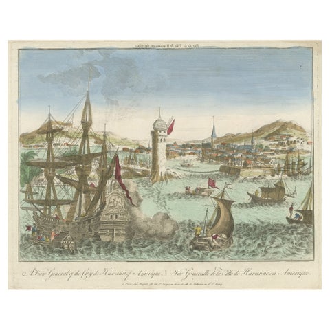
Hand-Colored Vue d’Optique of the Harbour of Havana, Cuba, circa 1770
Hand-Colored Vue d’Optique of the Harbour of Havana, Cuba, circa 1770

1770$670
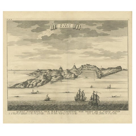
Antique Print of the Coast of Dabhol 'India', 1726
Antique Print of the Coast of Dabhol 'India', 1726

1726$630$47525% off
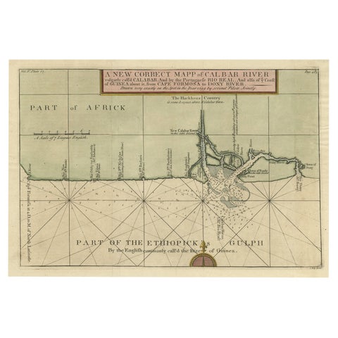
Authentic Map of the Coast from Cape Formosa to the Dony River, Africa, 1732
Authentic Map of the Coast from Cape Formosa to the Dony River, Africa, 1732

1732$625$44030% off
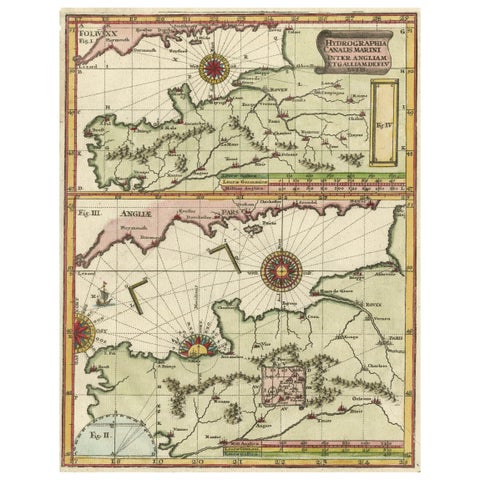
Two Charts of The English Channel, Each Adorned with Nice Compass Roses, ca.1700

Two Charts of The English Channel, Each Adorned with Nice Compass Roses, ca.1700

1700$615$43030% off

1700 to 1789: Age of discovery

The age of discovery and of scientific charting. French hydrographers such as Bellin and Apres de Mannevillette produced accurate charts of the world's coasts, while the voyages of Anson and Cook filled in the Pacific. Harbour views for optical viewers (vues d'optique) were at their most popular.

Explore by place, voyage and subject

Your favorites

Saved in this browser. Email the list to yourself to keep it on any device.

We use your email to send this list and, only if you tick the box and confirm, for occasional new arrivals. Every email has an unsubscribe link. Bartele Gallery, the Netherlands.

Powered by SiteKeys