Antique Sea Charts and Prints: The Caribbean
Sea charts and prints of the Caribbean: Cuba, Jamaica and Hispaniola, Martinique and Guadeloupe, the harbour of Havana and the Dutch islands, from the age when every European navy fought over the sugar islands.
12 pieces
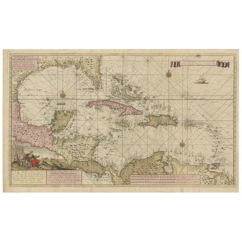
Engraving of a Map of Florida, the Gulf Coast, Caribbean & Central America, 1728
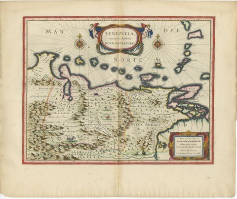
Blaeu Venezuela Map, Decorative Caribbean & Nueva Andalusia Chart 1642
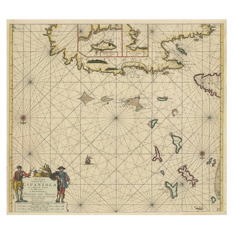
Original Antique Sea Chart, the Northern Part of Hispaniola, Western Cuba, 1684
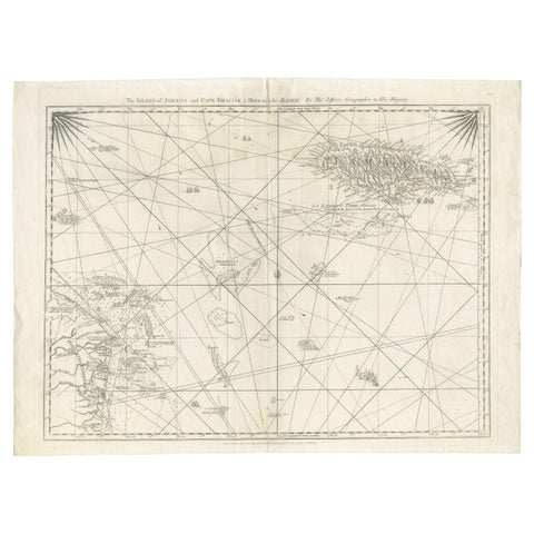
Navigational Chart of Jamaica, Cape Gracias a Dios, and the Mosquito Coast, 1775
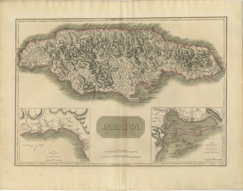
Jamaica Map by John Thomson, Kingston & Port Royal Harbors, c.1817
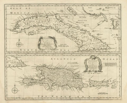
Antique Map of Cuba & Hispaniola, Caribbean Sea Chart by Bowen, 1744
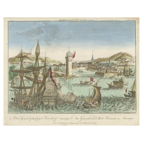
Hand-Colored Vue d’Optique of the Harbour of Havana, Cuba, circa 1770
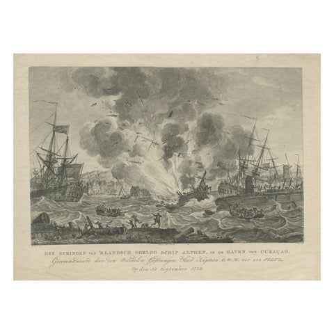
Antique Print of the Exploding of the 'Alphen' in the Harbour of Curacao, 1779
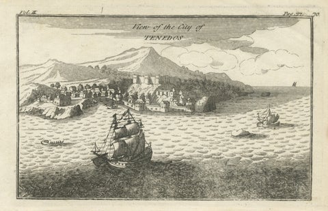
Antique St Eustatius Caribbean View, Ships Harbor, Tournefort 1717
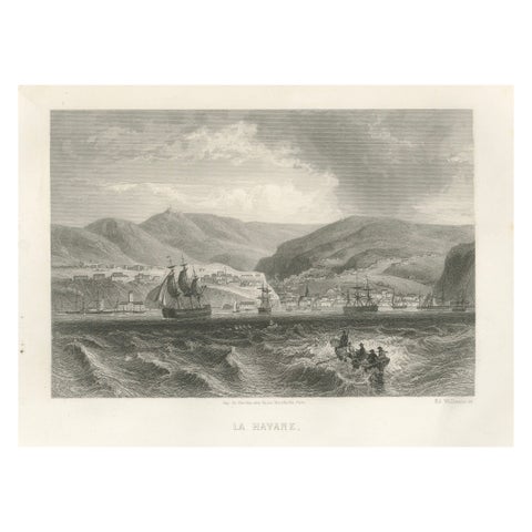
Rare Antique Engraving, Havana, Cuba, Harbor and City Landscape, 1867
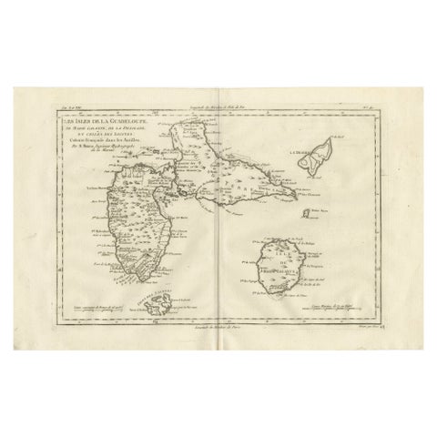
Antique Map Guadeloupe & Marie Galante, Rigobert Bonne Caribbean Chart c1780
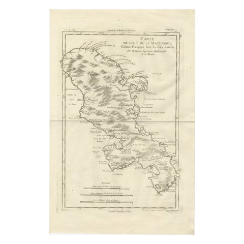
Antique Map Martinique Caribbean Island Chart, Rigobert Bonne French Map, c.1780
More to explore
PLACES