Sea charts
Sea charts, coastal charts and harbour plans made for navigators: Dutch Golden Age charts by Van Keulen and De Wit, French charts by Bellin and Mannevillette, English charts by Norie and Imray, with their soundings, shoals and compass roses.
148 pieces
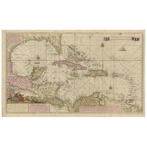
Engraving of a Map of Florida, the Gulf Coast, Caribbean & Central America, 1728
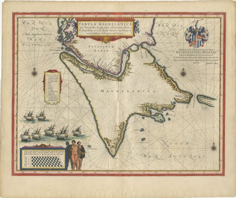
Blaeu Strait of Magellan Map, Tierra del Fuego, Decorative Sea Chart, 1642
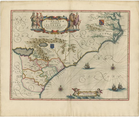
Blaeu Virginia and Florida Map, Decorative Early America Chart, 1642
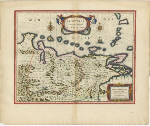
Blaeu Venezuela Map, Decorative Caribbean & Nueva Andalusia Chart 1642
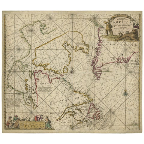
Antique Sea Chart of Hudson Bay and Arctic Canada by Van Keulen, circa 1681
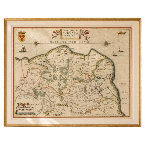
Blaeu Map of Boulogne & Calais Coast, Maritime France, Ships c.1642
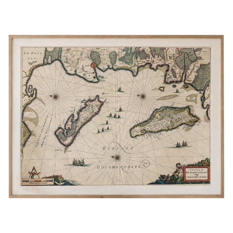
Blaeu Map of Île de Ré & Oléron, La Rochelle Coast France, c.1642
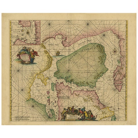
Greenland & North America, Antique Sea Chart by Frederick de Wit, 1745
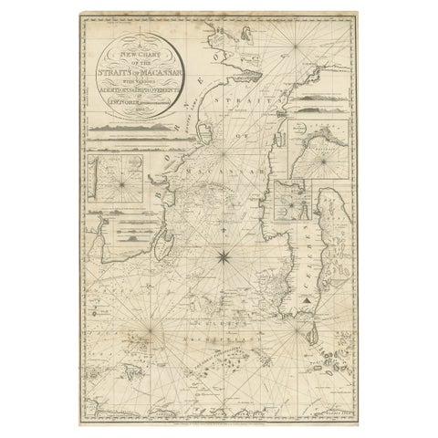
Antique Map of Straits of Makassar by J.W. Norie, Engraved Chart, 1820
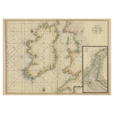
Large 1693 Maritime Map of Irish Sea, West Coasts of Ireland, England, Scotland

Large Chart of the island and sea of Java, Indonesia
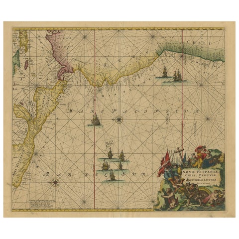
Sea Chart of Central America and the Northwest Coast of South America, ca.1745
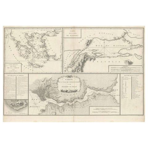
Map of Constantinople, Bosphorus, the Coasts of Greece and the Archipelago, 1785
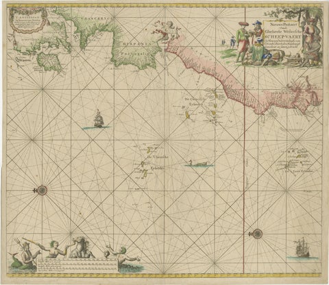
1717 Johannes Van Keulen Sea Chart of the Eastern Atlantic, Amsterdam to Gambia
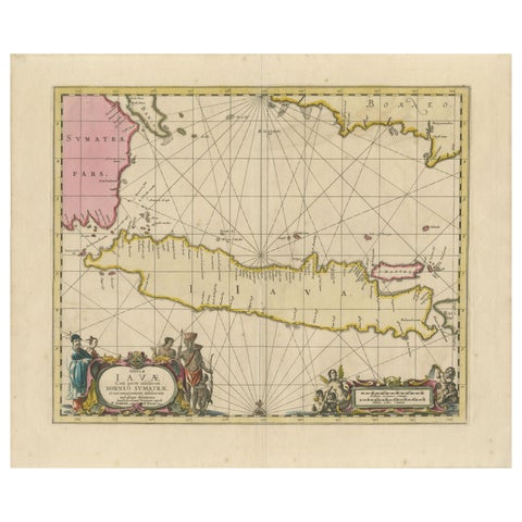
Antique Map of Java, Sumatra & Borneo, Dutch East Indies Sea Chart c.1700
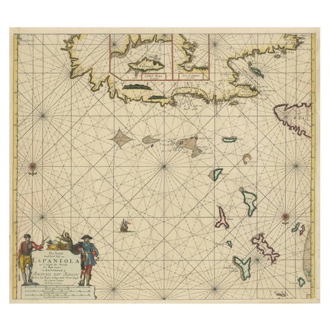
Original Antique Sea Chart, the Northern Part of Hispaniola, Western Cuba, 1684
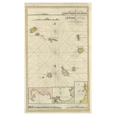
Nautical Chart of Cape Verde Islands by J.W. Norie, 1824 Coastal Map
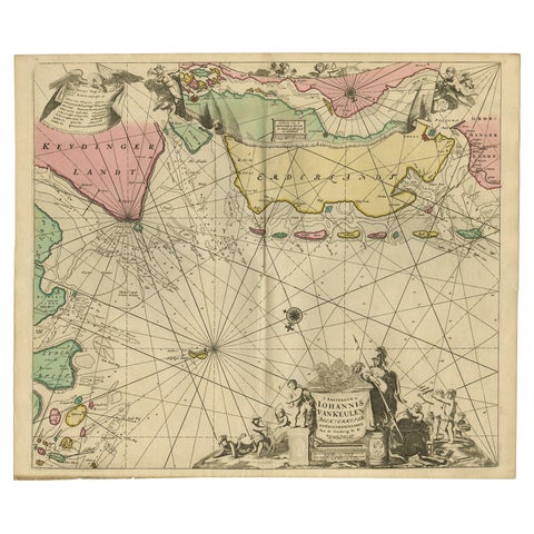
Rare Sea Chart of the East Frisian Islands or Watten and the North Sea, c.1700
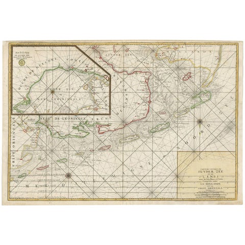
Large Sea Chart of the Zuyder Zee & The Northsea with the Wadden Islands, 1773
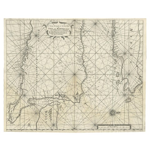
Rare Old English Sea Chart of Part of Indonesia with Java, Madura and Bali, 1711

Two Antique Sea Charts of the Thousand Islands between Batavia and Bantam, c1734
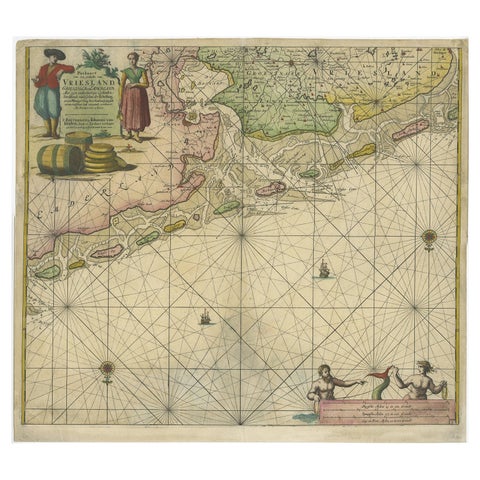
Old Decorative & Highly Detailed Sea Chart of the North Dutch-German Coast, 1681
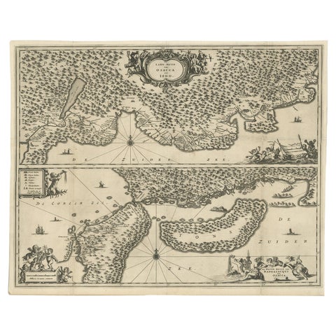
Map of Japanese Coast from Osaka to Tokyo & the Kyushu and Shikoku Islands, 1669
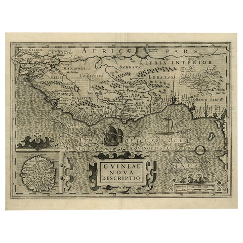
Old Decorative Map of the West African Coast & St. Thomae Island, c.1600
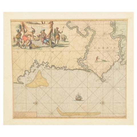
Original Hand-Coloured Nautical Chart of West-Africa, c.1680
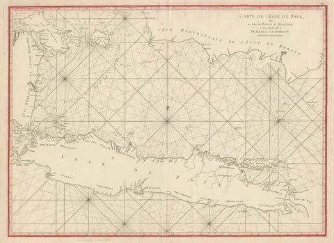
Antique Sea Chart Java Indonesia, Mannevillette Neptune Oriental 1775
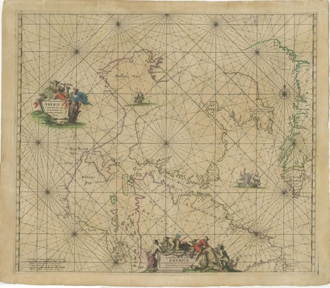
1690 Frederick de Wit Sea Chart of Hudson Bay, Baffin Bay and Greenland
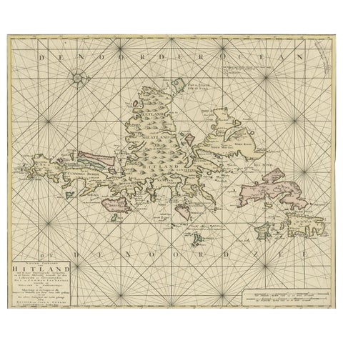
Shetland Islands Sea Chart, Antique Nautical Map by Ottens Brother c.1745
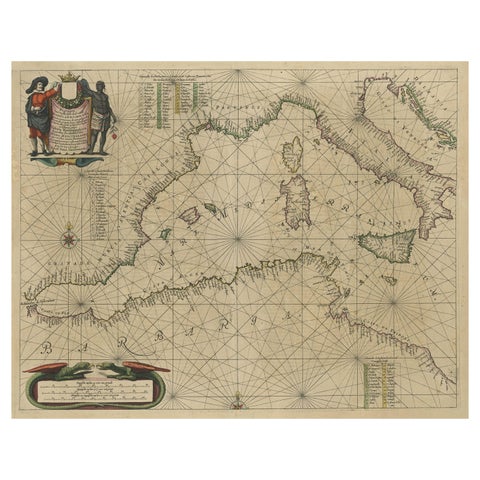
Original Antique Engraving of a Sea Chart of the Western Mediterranean, ca.1650
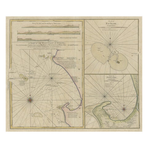
Early Chart Identifying British Spice Trading Colony of Bencoolen, Sumatra, 1797

Detailed Decorative Antique Map of the Coast of Malabar and Coromandel, India
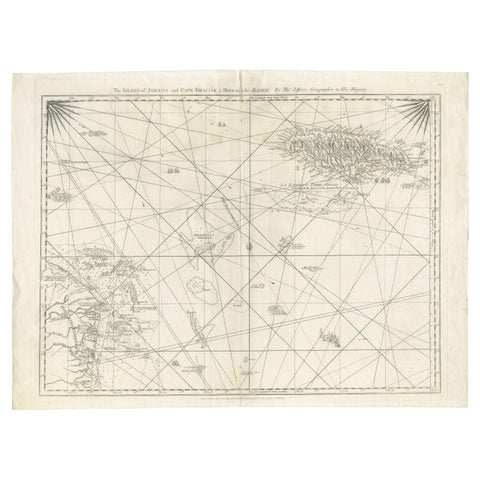
Navigational Chart of Jamaica, Cape Gracias a Dios, and the Mosquito Coast, 1775
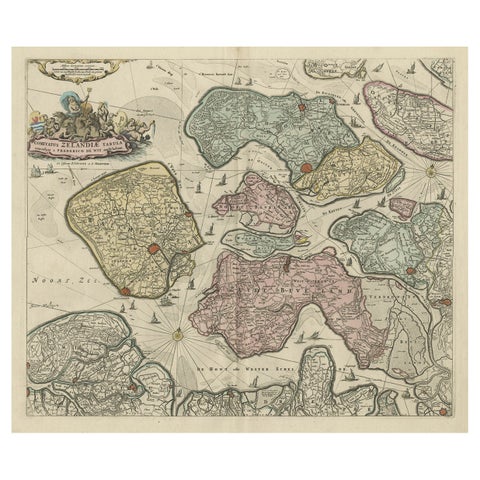
Decorative Antique Sea Chart of Zeeland, a Province of the Netherlands, ca.1730
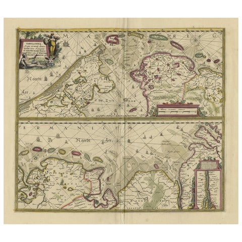
Antique Engraving of Dutch and German North Sea Coast of Friesland, ca.1680
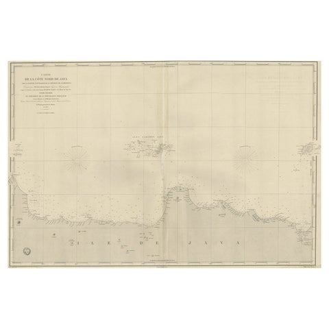
Early French Nautical Chart of the Northern Coast of of Java, Indonesia, C.1850
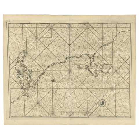
Sea Chart Titled 'Baya de Saldanha' with Robben Island in South Africa, 1726
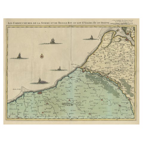
Beautiful Antique Map of the French Coast, from St. Valeri to Dieppe, 1720
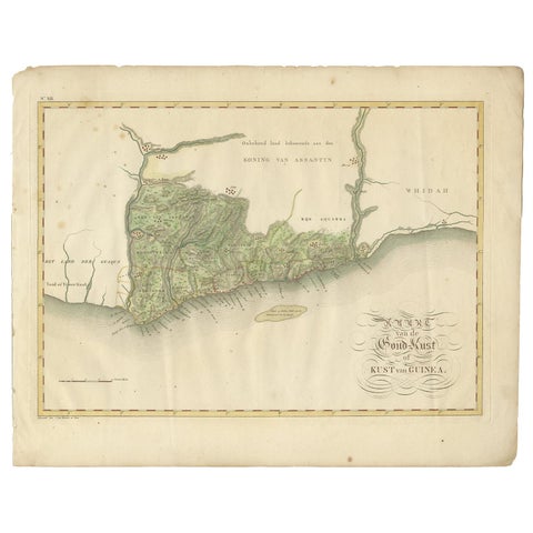
Antique Map of the Dutch Gold Coast in Africa by Van den Bosch '1818'
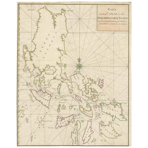
Large German Chart of the Philippines with Hand-Colored Borders, 1763
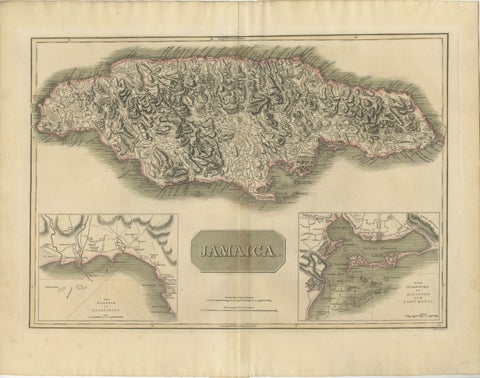
Jamaica Map by John Thomson, Kingston & Port Royal Harbors, c.1817
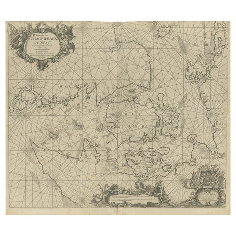
Nautical Chart of Skagerrak and Øresund by Johannes van Keulen, 1680
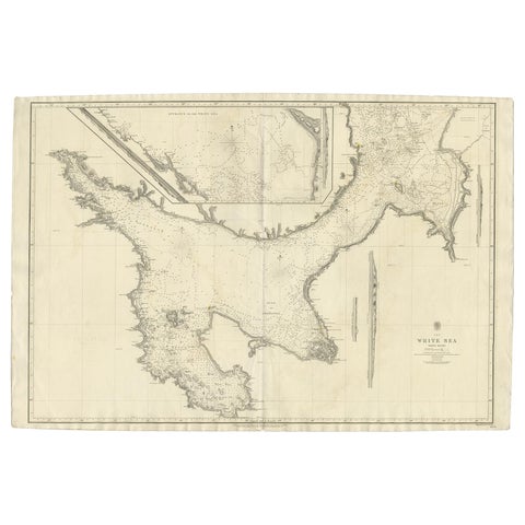
Large Antique Chart of The White Sea, Russa 1854
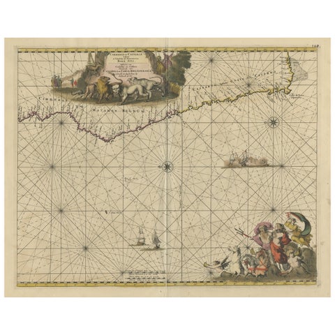
Antique Map of the Coast of Angola Up to Port Elizabeth in South Africa, 1675
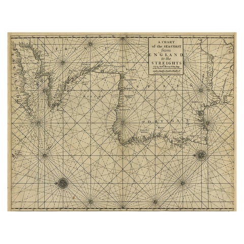
Original Antique Sea Chart of the Coastline from England to Gibraltar, ca.1700

Map of North and East coast of Asia with Japan & inset maps of Kamchatka, c1750
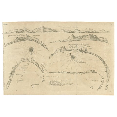
Rare Map of Six Coast Views and Anchorages of Sierra Leone and Indonesia, 1660
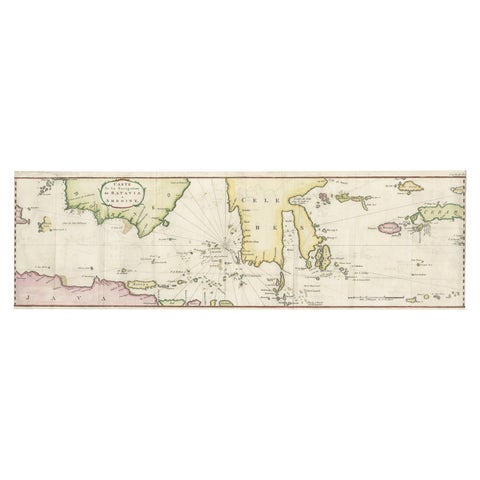
Rare Chart of Indonesia Including Borneo, Java, Celebes, Ceram and More, 1779
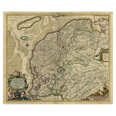
Large Copper Engraved Map of the Coastline of Friesland and Terschelling, c.1670
About sea charts
A sea chart is drawn for the person at the helm, not the traveller on land. Where a map shows towns and roads, a chart shows the coastline as seen from the water, the depth of water in soundings, sandbanks and rocks, safe anchorages, and the compass bearings that tie them together. Rhumb lines radiating from compass roses let a navigator lay off a course with a ruler.
The first great printed sea atlases came from Holland. From the 1580s Waghenaer's pilot guides were translated across Europe, and by the 1600s Amsterdam publishers such as Blaeu, Doncker, Goos and above all the Van Keulen family sold charts to every seafaring nation. In the 1700s the French Depot de la Marine under Bellin, and English hydrographers such as Norie and Imray, took over the lead.
Collectors value charts for their accuracy as much as their beauty: a Van Keulen chart was a working document, corrected and reissued for a century. Many in the collection still carry their original hand colour, decorative cartouches and compass roses.
Explore by place, voyage and subject
PLACES
VOYAGES AND MAKERS
Questions about sea charts
What is the difference between a sea chart and a map?
A map describes the land; a chart describes the water for navigation. Charts show soundings (depths), shoals, rocks, anchorages and the coastline as seen from a ship, usually with compass roses and rhumb lines for laying off a course.
Who made the best antique sea charts?
In the 1600s the Amsterdam publishers, above all the Van Keulen family, De Wit and Blaeu; in the 1700s the French hydrographers Bellin and Apres de Mannevillette; and in the early 1800s English chart makers such as Norie and Imray.
How should an antique chart be framed?
Use acid-free mount board and UV-filtering glazing, hinge the sheet with reversible paper tape rather than adhesive, and hang it away from direct sunlight. Many charts are wide, so a landscape frame shows them best.